
Castles · Central Scotland
Cousland Castle
In or near Whitecraig.
Cousland Castle — castle in Cranston, Midlothian, Scotland, UK.

Wikimedia Commons contributors — see linked file page for photographer and licence licence

Plan your visit
- Typical visit
- 1.5 h–3 h
- Nearest railway station
- Wallyford · 4.2 km
- Family-friendly
- Limited wheelchair access
Getting there & planning your visit
Cousland Castle is located in Midlothian, Scotland, with the postcode EH22 2PL. The nearest railway station is Wallyford, which is 4.2 km away. Entry is paid, and wheelchair accessibility is limited.
About
Cousland Castle is a castle in the United Kingdom — fortified architecture from the medieval, Tudor, or Victorian-revival period. Heritage designation: scheduled monument. Wikidata describes it as: "castle in Cranston, Midlothian, Scotland, UK". Coordinates: 55.9042°, -2.9978°.
Photo gallery
Heritage listing
Date Added 06/08/1953 Last Date Amended 25/06/2011 Type Secular: house; tower Local Authority Midlothian Parish Cranston NGR NT 37749 68379 Coordinates 337749, 668379 — The monument comprises the remains of a tower house, a later building that adjoined it to the south, and part of a garden wall. The tower house survives above ground as an unroofed ruin with upstanding walls to the north, west and south. The style of the architecture indicates that it may date to the later 15th century. The later building is represented above ground only by its west wall, but excavation suggests that evidence for the other walls survives below ground. The remains suggest this was a domestic house, erected probably in the 16th century. A walled garden was created after this house was built, probably in the years following 1690. Remains of the garden wall adjoin the west side of the tower house and the south side of the later building. The monument lies close to the centre of Cousland village, on the south side of Hadfast Road, opposite Northfield steading. It stands at around 150m above sea level on ground that rises gently to the south and offers extensive views to the north. The monument was scheduled in 1953, but the documentation does not meet modern standards: the present rescheduling rectifies this and amends the extent of the scheduled area on the basis of more recent evidence. The upstanding remains of the tower house measure about 10m ENE-WSW by 8.5m transversely; the original width of the tower was 8.5m. The original length of the structure is unknown, but it probably stood up to four storeys high. Corbels and joist holes survive on the internal wall faces and show that the surviving remains represent the ground floor and first floor rooms. The chamber at first floor level has a
From Historic Environment Scotland under OGL v3.
From the Wikipedia article
Cousland Castle is a ruined castle near the town of Cousland, Midlothian, Scotland.
Excerpt from Wikipedia under CC BY-SA 4.0. See the source article linked in Sources below.
Background
History
Cousland was a hunting lodge of the St Clair of Roslin family. Henry Sinclair, Lord Sinclair sold Cousland to William Ruthven, Lord Ruthven in 1493. Cousland was also associated with Robert or Thomas Cochrane, a courtier and favourite of James III of Scotland. He was said to have been a stone mason who rose to prominence until he was assassinated at Lauder Bridge in 1482. Thomas Cochrane held some lands of Cousland as a gift from the King. The castle was burned by Patrick Charteris as a result of a feud with William Ruthven, 2nd Lord Ruthven in 1529. Following the Battle of Pinkie in 1547, the castle was slighted by Edward Seymour, Duke of Somerset. The castle is indicated as "Cowsland"…
Architecture
The 16th-century ruins of the tower house and enclosure walls are all that remains. The original 15th-century tower house was extended in the 16th century to form a larger residence. The tower stands at the north-east corner of the square walled garden area, 68 m, enclosed by walls 85 cm thick, probably constructed after 1690. The house was demolished after 1760, and the walls survive intact on the northern sides.
Sourced from Wikipedia under CC BY-SA 4.0.
- Coordinates
- 55.9042, -2.9978
- District
- Midlothian
- Postcode
- EH22 2PL
- Parliamentary constituency
- Midlothian
- Nearest railway station
- Wallyford — 4.2 km
- Official site
- www.stravaiging.com
Sources
- wikidata: Q23018877 (CC0)
- wikipedia: Cousland Castle (CC BY-SA 4.0)
- commons: Cousland Castle Archaeology Dig 3.jpg (CC BY-SA 4.0)
Other places nearby

Chalkieside Quarry, enclosure
Vineyards · 0.8 km

enclosure 200m W of Pardivan
Vineyards · 1.2 km

Queen Mary's Mount
Vineyards · 1.2 km

Queen Marys Mount
Memorials & monuments · 1.3 km

Crossgatehall
Villages · 1.3 km
Carberry Hill
Mountains & hills · 1.4 km

enclosure 600m SW of Chalkieside
Vineyards · 1.5 km
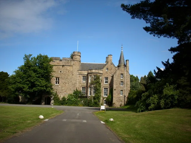
Carberry Tower
Castles · 1.9 km

Elphinstone Tower
Literary houses · 2.0 km

Fordel Mains
Vineyards · 2.0 km

Fordel Dean Bridge
Historic bridges · 2.0 km

War Memorial, Junction At North Lodge, Oxenfoord Castle
Memorials & monuments · 2.3 km
Nearby
📷 5Vineyards · Central Scotland
Chalkieside Quarry, enclosure
Chalkieside Quarry, enclosure — a UK vineyard in scotland central, producing English or Welsh wine from cool-climate grape varieties.
📷 5Vineyards · Central Scotland
enclosure 200m W of Pardivan
enclosure 200m W of Pardivan — a UK vineyard in scotland central, producing English or Welsh wine from cool-climate grape varieties.
📷 5Vineyards · Central Scotland
Queen Mary's Mount
Queen Mary's Mount — a UK vineyard in scotland central, producing English or Welsh wine from cool-climate grape varieties.
📷 3Memorials & monuments · Central Scotland
Queen Marys Mount
Queen Marys Mount is a memorial in the United Kingdom.
📷 5📷 5Mountains & hills · Central Scotland
Carberry Hill
Carberry Hill — a hill or mountain in scotland central.
Where to eat & stay near Cousland Castle
Places to stay
 📷 7
📷 7 📷 5
📷 5Campsites · Central Scotland
Dalkeith Country Park Camping
Dalkeith Country Park Camping — a campsite in scotland central.
 📷 5
📷 5Campsites · Central Scotland
Drummohr Camping Ground
Drummohr Camping Ground — a campsite in scotland central.
 📷 5
📷 5Campsites · Central Scotland
Lothian Bridge Caravan Park
Lothian Bridge Caravan Park — a campsite in scotland central.
 📷 5
📷 5 📷 5
📷 5Caravan parks · Central Scotland
Kevock Vale Park Retirement Living
Kevock Vale Park Retirement Living — a caravan park in scotland central.
Places to eat & drink
 📷 7
📷 7Historic pubs · Central Scotland
Coach and Horses Public House, 168 High Street, Dalkeith
Coach and Horses Public House, 168 High Street, Dalkeith in Scotland Central, United Kingdom.
 📷 5
📷 5Historic pubs · Central Scotland
Gothenburg Public House, 45 Buccleuch Street, Dalkeith
Gothenburg Public House, 45 Buccleuch Street, Dalkeith in Scotland Central, United Kingdom.
 📷 5
📷 5Historic pubs · Central Scotland
The Royal Esk, 128, 130 High Street, Musselburgh
The Royal Esk, 128, 130 High Street, Musselburgh in Scotland Central, United Kingdom.
 📷 5
📷 5Historic pubs · Central Scotland
Gothenburg Tavern, High Street, Prestonpans
Gothenburg Tavern, High Street, Prestonpans in Scotland Central, United Kingdom.
 📷 7
📷 7Historic pubs · Central Scotland
Sheep Heid Inn
Sheep Heid Inn in Scotland Central, United Kingdom.
 📷 5
📷 5Historic pubs · Central Scotland
Public House, 5 Piershill Place, Portobello Road, Edinburgh
Public House, 5 Piershill Place, Portobello Road, Edinburgh in Scotland Central, United Kingdom.
More castles in this region
 📷 3
📷 3 📷 2
📷 2 📷 4
📷 4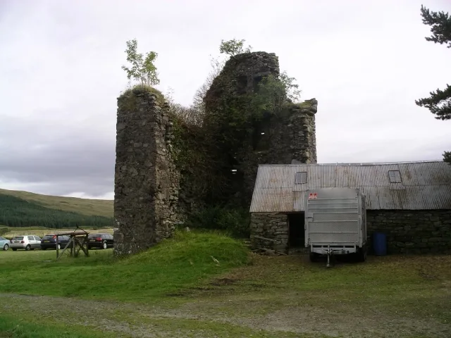 📷 3
📷 3Castles · Central Scotland
Achallader Castle
Achallader Castle — castle in Argyll and Bute, Scotland, UK.
Frequently asked questions
- Where is Cousland Castle?
- Cousland Castle is in central Scotland, United Kingdom (postcode EH22 2PL).
- What is Cousland Castle?
- Cousland Castle — castle in Cranston, Midlothian, Scotland, UK.
- How do I get to Cousland Castle?
- The nearest railway station is Wallyford, about 4.2 km away. Drivers can use postcode EH22 2PL.
- Is Cousland Castle a listed building?
- Cousland Castle is officially recognised as scheduled monument listed.
- Does Cousland Castle charge admission?
- Cousland Castle typically charges admission. Check the official site for current ticket prices and opening hours.
- How do I get to Cousland Castle?
- The nearest railway station is Wallyford, about 4.2 km away. Drivers can navigate to postcode EH22 2PL.