
Museums · East of England
Corringham, Essex
In or near Little Burstead.
Corringham is a town in the borough of Thurrock in Essex, England. It lies immediately east of Stanford-le-Hope, its post town, and Corringham is now classed as part of the Stanford-le-Hope built up a

Robert Edwards — CC BY-SA 2.0 via Wikimedia Commons licence

Plan your visit
- Typical visit
- 1.5 h–3 h
- Best time of year
- Year-round
- Nearest railway station
- Stanford-le-Hope · 2.8 km
- Family-friendly
- Limited wheelchair access
Getting there & planning your visit
To visit the museum in Corringham, Essex, the nearest railway station is Stanford-le-Hope, located 2.8 km away. The postcode for the location is SS17 7QG. Please note that wheelchair accessibility is limited.
About
Corringham is a town in the borough of Thurrock in Essex, England. It lies immediately east of Stanford-le-Hope, its post town, and Corringham is now classed as part of the Stanford-le-Hope built up area by the Office for National Statistics. It lies about 24 miles (39 km) east of London and 3 miles (4.8 km) south of Basildon. Corringham lies on a hill overlooking the Thames between Canvey Island and Tilbury Fort. It is 6 miles (9.7 km) north-east of Grays, the administrative centre of Thurrock. Corringham was an ancient parish. It was abolished as a civil parish in 1936 on the creation of Thurrock Urban District, which in turn became the modern borough of Thurrock in 1974. Corringham remains an ecclesiastical parish in the Church of England. St Mary the Virgin Church is the parish church, which originated in the Saxon period from the time of St Cedd in the 7th century. Corringham was formerly served by the Corringham Light Railway which connected the Kynoch munitions factory with the London, Tilbury and Southend Railway. The small historic heart is one of the seven conservation areas in the borough. The town is located close to the A13.
Photo gallery
From the Wikipedia article
Corringham is a town in the borough of Thurrock in Essex, England. It lies immediately east of Stanford-le-Hope, its post town, and Corringham is now classed as part of the Stanford-le-Hope built up area by the Office for National Statistics. It lies about 24 miles (39 km) east of London and 3 miles (4.8 km) south of Basildon. Corringham lies on a hill overlooking the Thames between Canvey Island and Tilbury Fort. It is 6 miles (9.7 km) north-east of Grays, the administrative centre of Thurrock. Corringham was an ancient parish. It was abolished as a civil parish in 1936 on the creation of Thurrock Urban District, which in turn became the modern borough of Thurrock in 1974. Corringham remains an ecclesiastical parish in the Church of England. St Mary the Virgin Church is the parish church, which originated in the Saxon period from the time of St Cedd in the 7th century. Corringham was formerly served by the Corringham Light Railway which connected the Kynoch munitions factory with the London, Tilbury and Southend Railway. The small historic heart is one of the seven conservation areas in the borough. The town is located close to the A13.
Excerpt from Wikipedia under CC BY-SA 4.0. See the source article linked in Sources below.
Background
History
In 1970 excavations took place at the site of the old railway terminus, south of Fobbing Road, revealing the remains of Mesolithic (Middle Stone Age) tools.
Sourced from Wikipedia under CC BY-SA 4.0.
- Coordinates
- 51.5250, 0.4600
- District
- Thurrock
- Parish
- Thurrock, unparished area
- Postcode
- SS17 7QG
- Parliamentary constituency
- South Basildon and East Thurrock
- Nearest railway station
- Stanford-le-Hope — 2.8 km
Sources
- wikipedia: Corringham, Essex (CC BY-SA 4.0)
Other places nearby

Bull Inn
Historic pubs · 0.3 km

White Lion Public House
Historic pubs · 1.0 km

London 2012 Monument
Memorials & monuments · 1.0 km

Performers College
Natural landmarks · 1.2 km

Fobbing
Villages · 1.3 km

Old Regent Ballroom
Theatres · 2.0 km

Stanford-le-Hope War Memorial
Memorials & monuments · 2.6 km
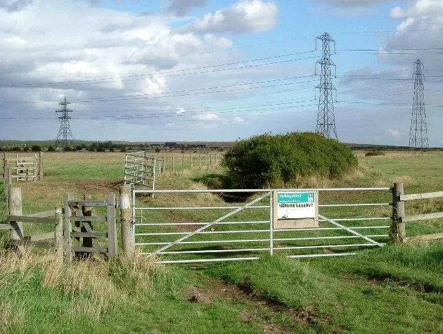
Fobbing Marsh
Wildlife reserves · 2.6 km

Church of St Margaret of Antioch, Stanford-le-Hope
Historic churches · 2.6 km

Stanford Wharf RSPB reserve
Wildlife reserves · 2.7 km

Fell-me-down
Mountains & hills · 2.7 km
Stanford-le-Hope
Museums · 2.8 km
Nearby
📷 5📷 5Historic pubs · East of England
White Lion Public House
White Lion Public House in England South East, United Kingdom.
📷 5Memorials & monuments · East of England
London 2012 Monument
London 2012 Monument — a memorial in england-london, United Kingdom.
📷 5Natural landmarks · East of England
Performers College
Performers College — a school heritage in england-london, United Kingdom.
📷 5📷 5Theatres · East of England
Old Regent Ballroom
Old Regent Ballroom in England South East, United Kingdom.
Where to eat & stay near Corringham, Essex
Places to stay
 📷 5
📷 5 📷 5
📷 5 📷 5
📷 5Campsites · East of England
Thames View Camping
Thames View Camping — a campsite in england london.

 📷 5
📷 5Campsites · East of England
Condovers Scout Activity Centre
Condovers Scout Activity Centre — a campsite in england london.
 📷 5
📷 5Campsites · East of England
Thorney Bay Camp
Thorney Bay Camp — a campsite in england london.
Places to eat & drink
📷 5📷 5Historic pubs · East of England
White Lion Public House
White Lion Public House in England South East, United Kingdom.
 📷 5
📷 5Restaurants · East of England
Five Bells
Five Bells — a restaurant in england london. Cuisine: american. Brand: Harvester.
 📷 5
📷 5 📷 5
📷 5Historic pubs · East of England
The Lobster Smack Public House
The Lobster Smack Public House in England South East, United Kingdom.
 📷 5
📷 5Historic pubs · East of England
The Half Crown Inn
The Half Crown Inn in England South East, United Kingdom.
More museums in this region
 📷 5
📷 5Museums · East of England
American Air Museum
American Air Museum — museum at Imperial War Museum Duxford, Cambridgeshire, England, UK.
 📷 5
📷 5Museums · East of England
Ashwell Village Museum
Ashwell Village Museum — historic building museum in Ashwell, Hertfordshire, England, United Kingdom.
 📷 5
📷 5Museums · East of England
Barleylands Farm Museum
Barleylands Farm Museum — Farm museum in Billericay, England.
 📷 5
📷 5Museums · East of England
Cromwell Museum
Cromwell Museum — museum in Huntingdon, England, United Kingdom.
Frequently asked questions
- Where is Corringham, Essex?
- Corringham, Essex is in London, United Kingdom (postcode SS17 7QG), in the parish of Thurrock, unparished area.
- What is Corringham, Essex?
- Corringham is a town in the borough of Thurrock in Essex, England. It lies immediately east of Stanford-le-Hope, its post town, and Corringham is now classed as part of the Stanford-le-Hope built up a
- How do I get to Corringham, Essex?
- The nearest railway station is Stanford-le-Hope, about 2.8 km away. Drivers can use postcode SS17 7QG.
- How do I get to Corringham, Essex?
- The nearest railway station is Stanford-le-Hope, about 2.8 km away. Drivers can navigate to postcode SS17 7QG.