
Gardens · East of England
Copford Place
In or near Copford.
Copford Place — a garden in england-east, United Kingdom.

Glyn Baker — CC BY-SA 2.0 via Wikimedia Commons licence

Plan your visit
- Typical visit
- 1 h–2.5 h
- Best time of year
- Spring & summer (Apr–Sep)
- Nearest railway station
- Marks Tey · 1.6 km
- Dog-friendly
Getting there & planning your visit
To visit Copford Place, the nearest railway station is Marks Tey, located 1.6 km away. The postcode for sat-nav is CO6 1DX. Entry details are not specified, so please check ahead for accessibility options.
About
Copford Place is a garden of interest in england-east, United Kingdom — drawn from open-data sources for visitor reference. See the linked Wikipedia article for the full description.
Photo gallery
From the Wikipedia article
Copford Place is a grade II listed building in Copford, Essex, England. It dates to the 17th or 18th century and is two storeys in height. During the Second World War it was used as part of a prisoner of war camp for Italians. After the war Copford Place was converted to a retirement home and housed the painter Tirzah Garwood. It was converted to flats in 1998 but fell empty when building regulations meant it could not continue in this role. In 2020 an application was made to convert Copford Place into flats and erect additional houses in its grounds. The building was badly damaged by arson in November 2024, the same month a decision was due to be made on the application.
Excerpt from Wikipedia under CC BY-SA 4.0. See the source article linked in Sources below.
Background
History
The site was owned by the Forde family in the 14th century but came into ownership of the Manor of Copford, who leased it out. English Heritage record the current structure as being built in the 18th century and the Pevsner Architectural Guides state it was erected in the late 17th century. Some of Garwood's last works were paintings of the house's gardens. Four fire crews attended but were unable to enter the building due to its poor structural condition. The fire was extinguished by midnight but not before the structure was badly damaged and left open to the elements.
Description
The main building is L-shaped in plan and two storeys in height, with an additional attic and cellar. The south and east elevations had grey gault brick parapets. The hipped roof had plain red tiles, with three dormers on the east side and two on the west, one of which had a leaded casement window dating to around 1700. The east elevation is of five bays with sash windows. the south elevation, facing London Road, is of seven bays, again with sash windows except the central bay which has a blank window. The chimney pots were in Coade stone.
Sourced from Wikipedia under CC BY-SA 4.0.
- Coordinates
- 51.8815, 0.8059
- County
- Essex
- District
- Colchester
- Parish
- Copford
- Postcode
- CO6 1DX
- Parliamentary constituency
- Witham
- Nearest railway station
- Marks Tey — 1.6 km
Sources
- wikidata: Q26532096 (CC0)
- wikipedia: Copford Place (CC BY-SA 4.0)
Other places nearby
Stanway Bridge
Historic bridges · 0.0 km

Copford
Towns & cities · 0.2 km

Copford Hall
Historic houses · 1.3 km

Tribute to Blur
Public art & sculpture · 1.9 km

Marks Tey
Towns & cities · 2.4 km

Llamas and Alpacca
Natural landmarks · 2.6 km
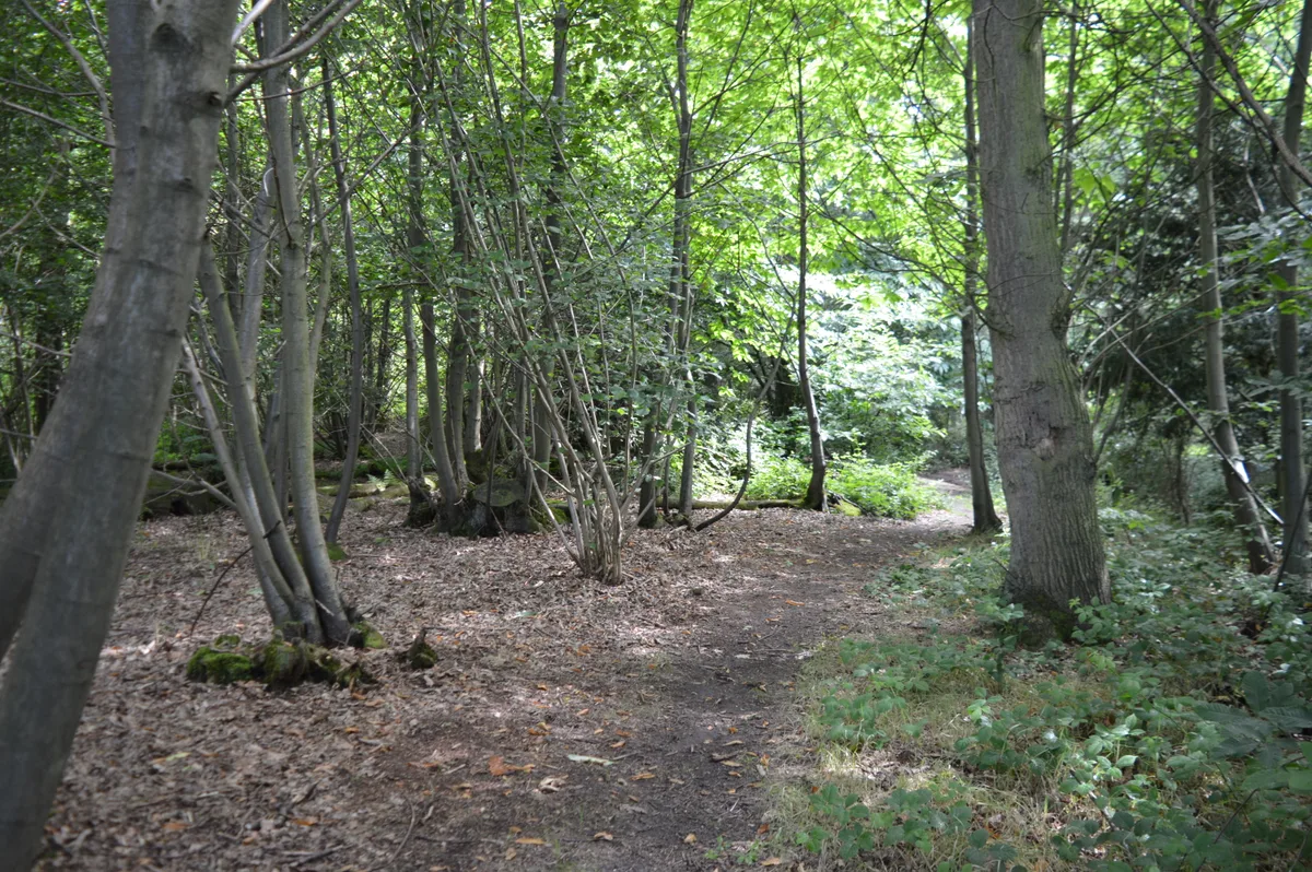
Iron Latch
Wildlife reserves · 2.6 km
Wallaby Walkabout
Natural landmarks · 2.6 km
Hyenas
Natural landmarks · 2.6 km

Essex Pigs
Natural landmarks · 2.6 km

Mandrills
Natural landmarks · 2.6 km
Elephants
Natural landmarks · 2.7 km
Nearby
📷 3Historic bridges · East of England
Stanway Bridge
Stanway Bridge — Grade II listed building-listed bridge in england-east, United Kingdom.
📷 5Towns & cities · East of England
Copford
Copford — village and civil parish in Essex, England, UK.
📷 4Historic houses · East of England
Copford Hall
Copford Hall — a Grade II*-listed historic house in england-east, United Kingdom.
📷 3Public art & sculpture · East of England
Tribute to Blur
Tribute to Blur — a public art in england-east, United Kingdom.
📷 5📷 3Natural landmarks · East of England
Llamas and Alpacca
Llamas and Alpacca — a other in england-east, United Kingdom.
Where to eat & stay near Copford Place
Places to stay
 📷 5
📷 5Campsites · East of England
Colchester Country Park
Colchester Country Park — a campsite in england east.
 📷 7
📷 7 📷 3
📷 3 📷 5
📷 5Hotels · East of England
Premier Inn (Castle)
Premier Inn (Castle) — a hotel in england east.
 📷 5
📷 5 📷 5
📷 5Places to eat & drink
 📷 5
📷 5Historic pubs · East of England
Ye Olde Leather Bottle Public House
Ye Olde Leather Bottle Public House in England East, United Kingdom.
 📷 7
📷 7Historic pubs · East of England
Donkey And Buskins Public House
Donkey And Buskins Public House in England East, United Kingdom.
 📷 5
📷 5 📷 5
📷 5 📷 7
📷 7 📷 5
📷 5Restaurants · East of England
Timbers
Timbers — a restaurant in england east.
More gardens in this region
 Flagship📷 10
Gardens · East of England
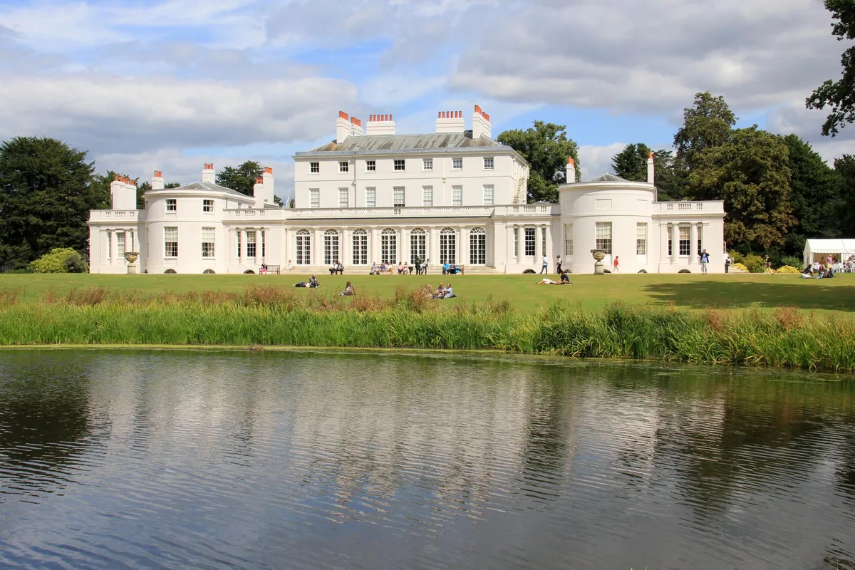
Frogmore Estate
Frogmore Estate — private gardens within the grounds of the Home Park, adjoining Windsor Castle in Berkshire, England, UK.
 Flagship📷 10
Gardens · East of England
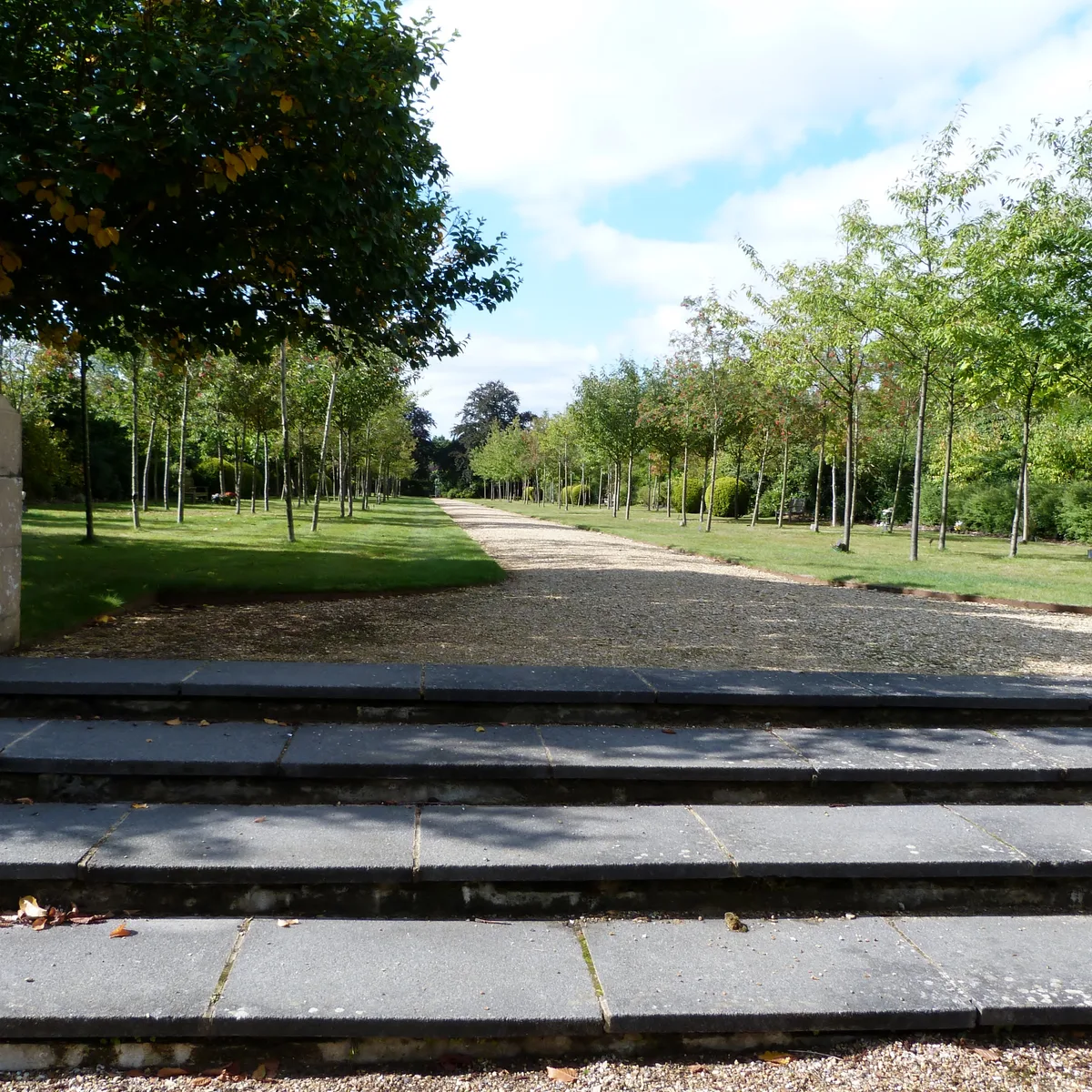
Stoke Poges Memorial Gardens
Stoke Poges Memorial Gardens — garden in Stoke Poges, Buckinghamshire, England, UK.
.jpg?width=1200) 📷 5
📷 5Gardens · East of England
Benington Lordship
Benington Lordship — country house in Hertfordshire, England, UK.
 📷 5
📷 5Gardens · East of England
Broadway
Broadway — road and green space in Letchworth, Hertfordshire, England, UK.
Frequently asked questions
- Where is Copford Place?
- Copford Place is in Essex, East of England, United Kingdom (postcode CO6 1DX), in the parish of Copford.
- What is Copford Place?
- Copford Place — a garden in england-east, United Kingdom.
- How do I get to Copford Place?
- The nearest railway station is Marks Tey, about 1.6 km away. Drivers can use postcode CO6 1DX.
- How do I get to Copford Place?
- The nearest railway station is Marks Tey, about 1.6 km away. Drivers can navigate to postcode CO6 1DX.