
Mountains & hills · South East England
Cooden Mount
In or near Pevensey.
Cooden Mount — mountain in england south east. Elevation: 30 m.

John P Reeves — CC BY-SA 2.0 via Wikimedia Commons licence

Plan your visit
- Typical visit
- 3 h–8 h
- Best time of year
- Late spring – early autumn (May–Oct)
- Nearest railway station
- Cooden Beach · 0.9 km
- Dog-friendly
About
Cooden Mount is a mountain located in england south east. Elevation: 30 m. A named British peak recorded in OpenStreetMap. Peaks are typically named on Ordnance Survey 1:50k mapping.
Photo gallery
360° viewimagery from 2020
Imagery © Mapillary contributors, CC BY-SA 4.0
Place summary
Cooden Mount is a mountain located in South-East England. It is characterised by its elevated terrain and natural landscapes. The area offers opportunities for outdoor activities such as hiking and walking. Visitors can expect scenic views and a tranquil environment typical of the region's countryside.
AI-generated from the structured facts on this page (operator, designation, listing, era). Not a substitute for visiting.
- Coordinates
- 50.8406, 0.4323
- County
- East Sussex
- District
- Rother
- Parish
- Bexhill-on-Sea
- Postcode
- TN39 4TA
- Parliamentary constituency
- Bexhill and Battle
- Nearest railway station
- Cooden Beach — 0.9 km
Sources
- osm: n9886060387 (ODbL)
Other places nearby

Bexhill Convalescent Home
Memorials & monuments · 0.4 km

Little Common War Memorial
Memorials & monuments · 0.5 km

Gillham Wood
Forests & woodlands · 0.5 km
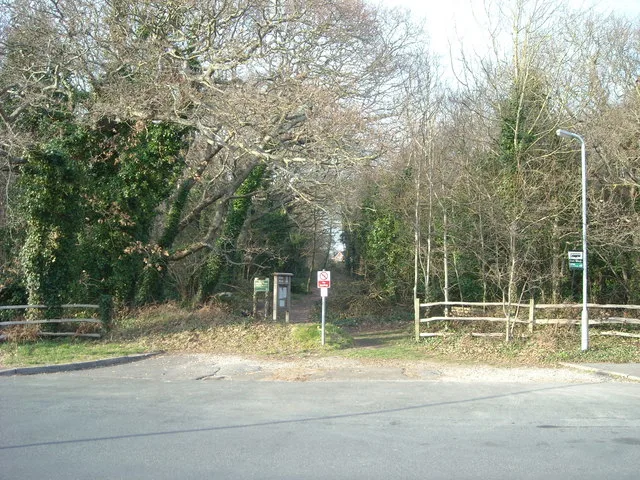
Gillham Wood
Wildlife reserves · 0.6 km

Dorothy and Philip Constant
Memorials & monuments · 0.6 km

Barnhorne Manor Caravan Site
Caravan parks · 0.6 km
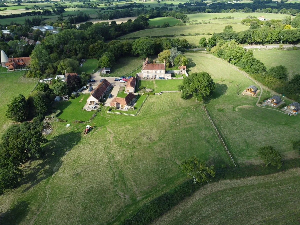
Barnhorn Manor
Stately homes · 0.8 km

The Relais Cooden Beach
Hotels · 0.9 km

Denbigh Carving
Public art & sculpture · 1.2 km

Beeches Farm
Gardens · 1.3 km

Kloofs
Caravan parks · 1.8 km

Harry Long Memorial Clock
Memorials & monuments · 1.9 km
Nearby
📷 5Memorials & monuments · South East England
Bexhill Convalescent Home
Bexhill Convalescent Home — a memorial in South East England, United Kingdom.
📷 5Memorials & monuments · South East England
Little Common War Memorial
Little Common War Memorial — War memorial, dating to 1920-11-21.
📷 5Forests & woodlands · South East England
Gillham Wood
Gillham Wood is a forest or woodland in the United Kingdom.
📷 5Wildlife reserves · South East England
Gillham Wood
Gillham Wood is a wildlife reserve in the United Kingdom.
📷 5Memorials & monuments · South East England
Dorothy and Philip Constant
Dorothy and Philip Constant — a memorial in South East England, United Kingdom.
📷 5Caravan parks · South East England
Barnhorne Manor Caravan Site
Barnhorne Manor Caravan Site — a caravan park in england south east.
Where to eat & stay near Cooden Mount
Places to stay
📷 5Caravan parks · South East England
Barnhorne Manor Caravan Site
Barnhorne Manor Caravan Site — a caravan park in england south east.
📷 6Hotels · South East England
The Relais Cooden Beach
The Relais Cooden Beach — a hotel in england south east.
📷 5 📷 5
Caravan parks · South East England
Sovereign View
Sovereign View — a caravan park in england south east.
 📷 5
 📷 5
B&Bs · South East England
Buenos Aires Guesthouse
Buenos Aires Guesthouse — a bed-and-breakfast in england south east.
Places to eat & drink
 📷 5
Cafés · South East England
The Old Town Tea Room
The Old Town Tea Room — a café in england south east.
 📷 5
Historic pubs · South East England
The Red Lion Inn
The Red Lion Inn in England South East, United Kingdom.
 📷 7
Historic pubs · South East England
The Bulls Head Inn
The Bulls Head Inn in England South East, United Kingdom.
 📷 7
 📷 7
Restaurants · South East England
The Sundial Restaurant
The Sundial Restaurant — a restaurant in england south east.
 📷 7
Historic pubs · South East England
The Brewers' Arms Inn
The Brewers' Arms Inn in England South East, United Kingdom.
More mountains in this region
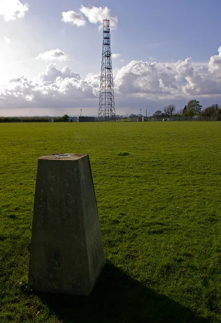 📷 5
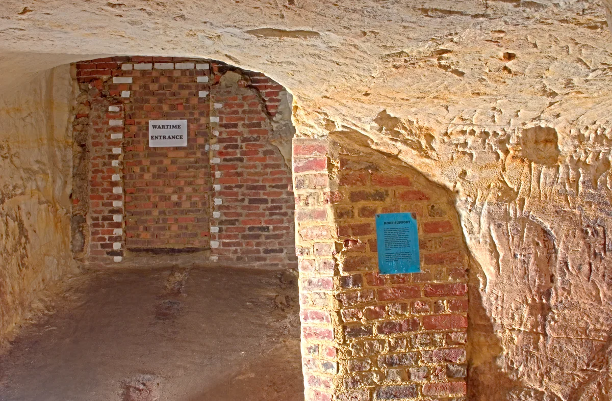 📷 5
Mountains & hills · South East England
Reigate Caves
Reigate Caves is a mountain or hill in the United Kingdom.
 📷 5
Mountains & hills · South East England
North Downs
North Downs — a hill or mountain in england london.
 📷 5
Mountains & hills · South East England
Blue Bell Hill
Blue Bell Hill — a hill or mountain in england london.
Frequently asked questions
- Where is Cooden Mount?
- Cooden Mount is in East Sussex, South-East England, United Kingdom (postcode TN39 4TA), in the parish of Bexhill-on-Sea.
- What is Cooden Mount?
- Cooden Mount — mountain in england south east. Elevation: 30 m.
- How do I get to Cooden Mount?
- The nearest railway station is Cooden Beach, about 0.9 km away. The nearest town is Pevensey. Drivers can use postcode TN39 4TA.
- How do I get to Cooden Mount?
- The nearest railway station is Cooden Beach, about 0.9 km away. Drivers can navigate to postcode TN39 4TA.