
Mountains & hills · Scottish Highlands
Conival
Also known as: Conmheall
Conival — Named summit at 987 m.

Wikimedia Commons contributors — see linked file page for photographer and licence licence

Plan your visit
- Typical visit
- 3 h–8 h
- Best time of year
- Late spring – early autumn (May–Oct)
- Free entry
- Dog-friendly
About
Conival is a named summit in the United Kingdom. Also known as: Conmheall. Wikidata describes it as: "Named summit at 987 m.". Coordinates: 58.1357°, -4.8833°.
Photo gallery
Official information
Conival is a mountain located in the Assynt region of Scotland, known for its rugged terrain and stunning views. It is often climbed in conjunction with the nearby Ben More Assynt, providing a challenging hike for outdoor enthusiasts.
From the Wikipedia article
Conival (Scottish Gaelic: Conmheall ) is a Scottish mountain situated in Assynt in the Sutherland area of the Highland Council Area, thirty kilometres (twenty miles) north-northeast of Ullapool.
Excerpt from Wikipedia under CC BY-SA 4.0. See the source article linked in Sources below.
Background
Description
Conival is a distinct landmark when viewed from the A837 road to the west from where its conspicuous 600 m western face is well seen; this flank is made up of light coloured and distinctive Cambrian quartzite rock thickened by geological thrusting. The mountain reaches a height of 987 metres (3,238 feet) and is classified as a Munro. It is connected to the adjoining and better known Munro of Ben More Assynt () which lies 1.5 km to the east by a high, rough quartzite ridge. Conival has a rich diversity of attractions on its slopes making it popular not just with walkers but also geologists, biologists and speleologists. The mountain's name is slightly enigmatic in its meaning. The name does…
Sourced from Wikipedia under CC BY-SA 4.0.
- Coordinates
- 58.1357, -4.8833
- Address
- Assynt, {{SCO}}
- Official site
- www.walkhighlands.co.uk
Sources
- osm: n260271696 (ODbL)
- wikipedia: Conival (CC BY-SA 4.0)
- commons: Conival from Beinn More Assynt.jpg (CC BY-SA 4.0)
Other places nearby
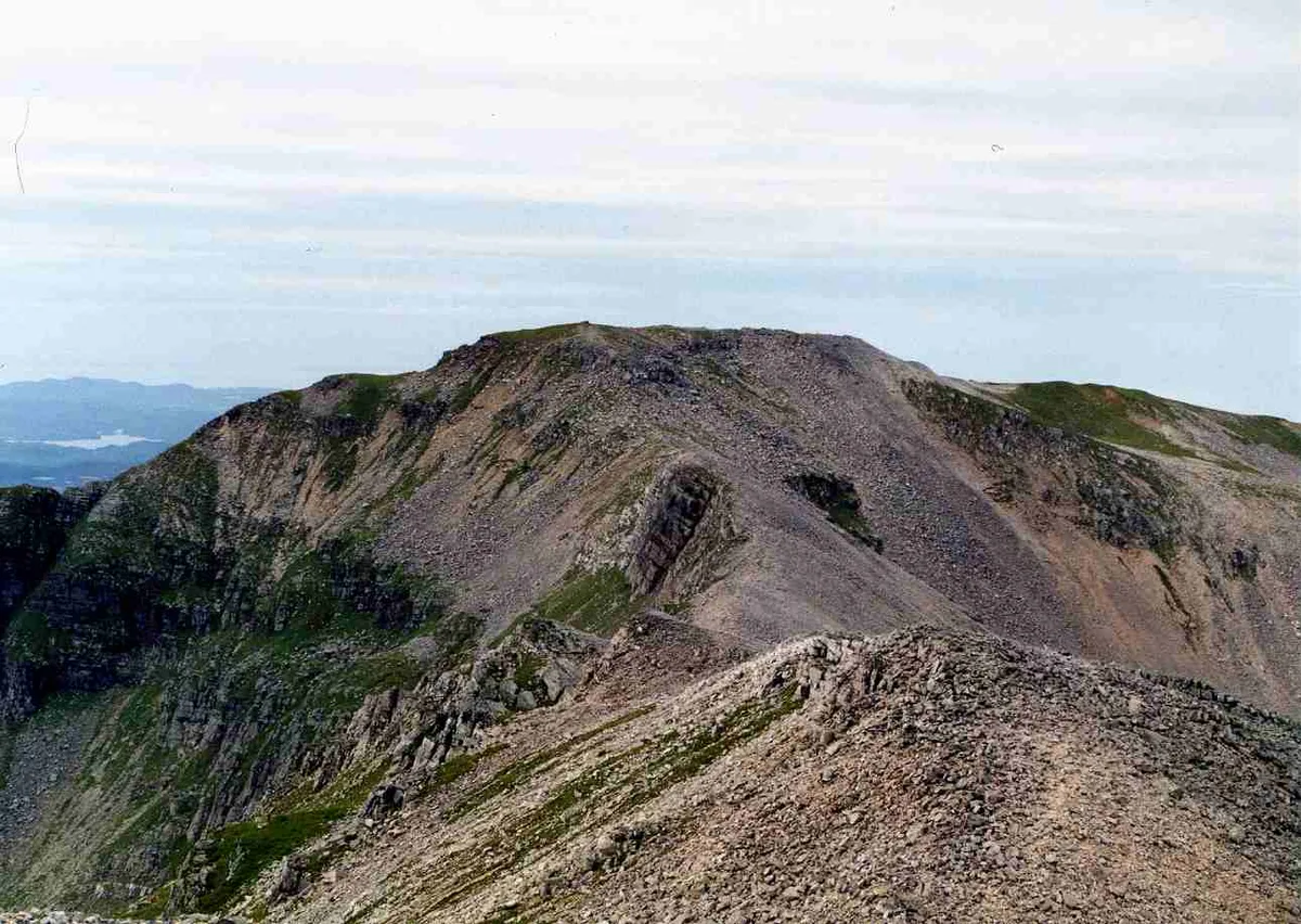
Conival
Natural landmarks · 0.0 km

Conival - Na Tuadhan
Mountains & hills · 1.5 km
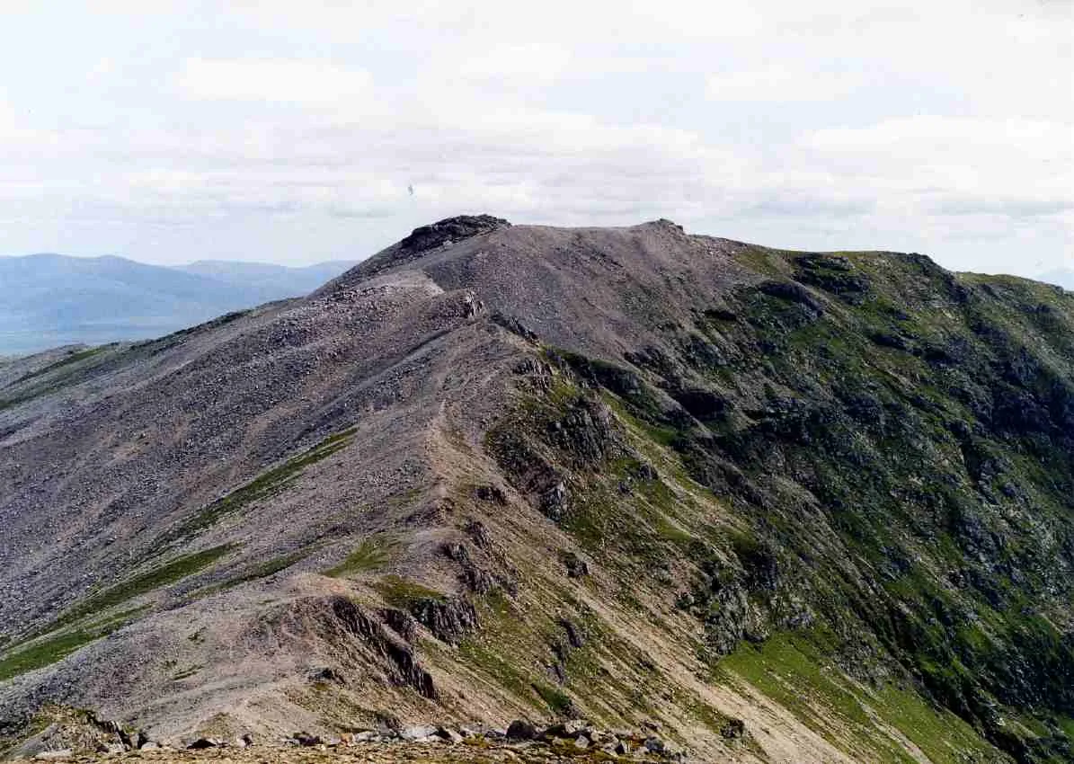
Ben More Assynt
Mountains & hills · 1.5 km
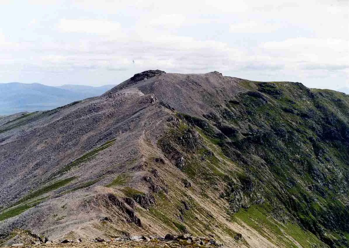
Ben More Assynt
Natural landmarks · 1.5 km

Na Tuadhan
Mountains & hills · 1.5 km

Moine Thrust Belt
Reservoirs & lochs · 2.0 km
Ben More Assynt South Top
Mountains & hills · 2.1 km

Storm Cave
Caves · 2.2 km

Breabag North Top
Mountains & hills · 2.3 km
Loch Mhaolach-coire
Lakes · 2.6 km

Carn nan Conbhairean
Mountains & hills · 2.7 km

Ben More Assynt - Carn nan Conbhairean
Mountains & hills · 2.7 km
Nearby
📷 3Natural landmarks · Scottish Highlands
Conival
Conival — 987m high mountain in Highland, Scotland, UK.
📷 3Mountains & hills · Scottish Highlands
Conival - Na Tuadhan
Conival - Na Tuadhan — a mountain in scotland-highlands, United Kingdom.
📷 5Mountains & hills · Scottish Highlands
Ben More Assynt
Ben More Assynt — Named summit at 998 m.
📷 5Natural landmarks · Scottish Highlands
Ben More Assynt
Ben More Assynt — 998m high mountain in Highland, Scotland, UK.
📷 5Mountains & hills · Scottish Highlands
Na Tuadhan
Na Tuadhan — a hill or mountain in scotland highlands.
📷 4Reservoirs & lochs · Scottish Highlands
Moine Thrust Belt
Moine Thrust Belt in Scotland Islands, United Kingdom.
Where to eat & stay near Conival
Places to stay
 📷 5
📷 5 📷 5
📷 5Hostels · Scottish Highlands
(Crask Inn)
(Crask Inn) — a hostel in scotland highlands.
 📷 5
📷 5Hostels · Scottish Highlands
Achmelvich Beach Youth hostel
Achmelvich Beach Youth hostel — a hostel in scotland highlands.
More mountains in this region
 📷 3
📷 3Mountains & hills · Scottish Highlands
A' Bhuidheanach Bheag
A' Bhuidheanach Bheag — Named summit at 936 m.
 📷 3
📷 3 📷 3
📷 3 📷 3
📷 3Frequently asked questions
- Where is Conival?
- Conival is in the Scottish Highlands, United Kingdom.
- What is Conival?
- Conival — Named summit at 987 m.
- How do I get to Conival?
- Its coordinates are 58.1357°, -4.8833°.
- Is Conival free to visit?
- Yes, Conival is free to enter.