
Reservoirs & lochs · South West England
Colliford Lake
In or near Blisland.
Colliford Lake — reservoir on Bodmin Moor, Cornwall, England.

Wikimedia Commons contributors — see linked file page for photographer and licence licence

Plan your visit
- Typical visit
- 1 h–2.5 h
- Free entry
- Dog-friendly
About
Colliford Lake is a reservoir in the United Kingdom. Wikidata describes it as: "reservoir on Bodmin Moor, Cornwall, England". Coordinates: 50.5277°, -4.5710°.
Photo gallery
Protected designations
- Site of Special Scientific Interest: Bodmin Moor, North SSSI
- Area of Outstanding Natural Beauty: Cornwall
Designations sourced from Natural England open data under OGL v3.
From the Wikipedia article
Colliford Lake is a reservoir on Bodmin Moor, Cornwall, England, United Kingdom. Covering more than 900 acres (3.6 km2), it is the largest lake in Cornwall. Between 1983 and 1984 a dam was constructed, impounding water from the River St Neot, creating a water supply bigger than all of Cornwall's other reservoirs combined. It is situated south of the A30 trunk road near the village of Bolventor, the approximate centre of the lake being at OS grid reference SX179730. Dozmary Pool outfalls into the lake and the lake's own outfall forms one of the tributaries of the River Fowey. The northernmost point of the lake is approximately three-quarters of a mile (1 km) south of Bolventor at OS grid reference SX184756 and the headbank at the southernmost point is approximately three miles (5 km) south of Bolventor at OS grid reference SX177709. Leisure facilities on the site include angling and a 50-acre (200,000 m2) adventure and nature park, Colliford Lake Park, which features trails and footpaths, play areas, wetlands, picnic areas and a cafe. Colliford Lake is managed by the South West Lakes Trust, an environmental and recreational charity which manages fifty inland water sites in Cornwall, Devon, and Somerset. In 2026 a labyrinth called Kerdroya was completed on the site. The project built with Cornish hedging took seven years and was instigated by Will Coleman. A thousand volunteers and 5,000 schoolchildren helped build it and about 150 people received training in the craft of hedging during the build.
Excerpt from Wikipedia under CC BY-SA 4.0. See the source article linked in Sources below.
- Coordinates
- 50.5277, -4.5710
- District
- Cornwall
- Parish
- St. Neot
- Postcode
- PL14 6PY
- Parliamentary constituency
- South East Cornwall
Sources
- wikidata: Q5147205 (CC0)
- wikipedia: Colliford Lake (CC BY-SA 4.0)
- commons: Colliford Lake 05.jpg (CC BY-SA 4.0)
Other places nearby

Colliford Tavern Camp Site
Campsites · 1.5 km

Kerdroya
Public art & sculpture · 1.5 km
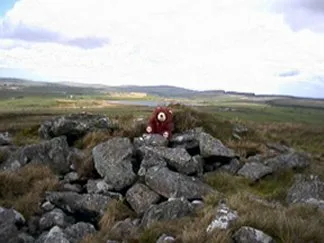
Brown Gelly
Mountains & hills · 1.7 km
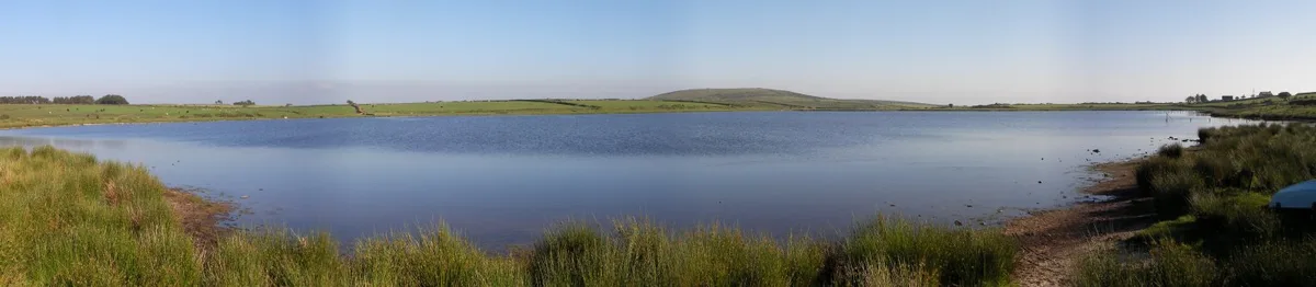
Dozmary Pool
Natural landmarks · 2.2 km

Hard Head
Mountains & hills · 2.9 km

Carburrow Tor
Mountains & hills · 3.1 km
Carburrow Tor
Mountains & hills · 3.1 km

Temple, Cornwall
Historic churches · 3.3 km
Temple
Villages · 3.5 km

Goodaver stone circle
Hill forts · 3.7 km

Bolventor War Memorial and dwarf walls
Memorials & monuments · 3.8 km

Jamaica Inn's Daphne du Maurier & Smuggling Museum
Museums · 3.8 km
Nearby
📷 5Campsites · South West England
Colliford Tavern Camp Site
Colliford Tavern Camp Site — a campsite in england south west.
📷 4Public art & sculpture · South West England
Kerdroya
Kerdroya — a public art in england-south-west, United Kingdom.
📷 5📷 5Natural landmarks · South West England
Dozmary Pool
Dozmary Pool — lake in Cornwall, England, UK.
📷 5Mountains & hills · South West England
Hard Head
Hard Head — mountain in england south west. Elevation: 255.1 m.
📷 5Mountains & hills · South West England
Carburrow Tor
Carburrow Tor — mountain in england south west. Elevation: 278 m.
Where to eat & stay near Colliford Lake
Places to stay
📷 5Campsites · South West England
Colliford Tavern Camp Site
Colliford Tavern Camp Site — a campsite in england south west.
 📷 5
📷 5Campsites · South West England
Siblyback Lake Campsite
Siblyback Lake Campsite — a campsite in england south west.
 📷 5
📷 5Campsites · South West England
South Penquite Farm
South Penquite Farm — a campsite in england south west.
 📷 5
📷 5Campsites · South West England
Cheesewring Farm Campsite
Cheesewring Farm Campsite — a campsite in england south west.
📷 5Caravan parks · South West England
Cheesewring Farm Caravan site
Cheesewring Farm Caravan site — a caravan park in england south west.
 📷 5
📷 5Caravan parks · South West England
Pine Green Caravan & Camping Park
Pine Green Caravan & Camping Park — a caravan park in england south west.
Places to eat & drink
 📷 7
📷 7Historic pubs · South West England
The Albion Public House
The Albion Public House in England South West, United Kingdom.
 📷 7
📷 7Restaurants · South West England
Himalayan Spice
Himalayan Spice — a restaurant in england south west.
 📷 7
📷 7Historic pubs · South West England
The Barley Sheaf Public House
The Barley Sheaf Public House in England South West, United Kingdom.
 📷 7
📷 7Historic pubs · South West England
Tavernan Carow Public House
Tavernan Carow Public House in England South West, United Kingdom.
 📷 7
📷 7Historic pubs · South West England
Methodist Chapel
Methodist Chapel in England South West, United Kingdom.
 📷 5
📷 5More places in this region
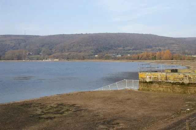 Flagship📷 10
Reservoirs & lochs · South West England
Cheddar Reservoir
Cheddar Reservoir — reservoir in Somerset, England.
 📷 5
📷 5Reservoirs & lochs · South West England
Ashford Reservoir
Ashford Reservoir — reservoir in Somerset, England, UK.
 📷 5
📷 5Reservoirs & lochs · South West England
Burrator Reservoir
Burrator Reservoir — reservoir in Devon, England.
 📷 5
📷 5Reservoirs & lochs · South West England
Chard Reservoir
Chard Reservoir — reservoir in Somerset, England, UK.
Frequently asked questions
- Where is Colliford Lake?
- Colliford Lake is in South-West England, United Kingdom (postcode PL14 6PY), in the parish of St. Neot.
- What is Colliford Lake?
- Colliford Lake — reservoir on Bodmin Moor, Cornwall, England.
- How do I get to Colliford Lake?
- The nearest town is Blisland. Drivers can use postcode PL14 6PY.
- Is Colliford Lake a protected site?
- Yes — Colliford Lake is part of the Bodmin Moor, North SSSI Site of Special Scientific Interest and the Cornwall National Landscape (AONB).
- Is Colliford Lake free to visit?
- Yes, Colliford Lake is free to enter.
- How do I get to Colliford Lake?
- Drivers can navigate to postcode PL14 6PY. It sits within the South East Cornwall parliamentary constituency.