
Campsites · South East England
College Down Farm
In or near Cheriton.
College Down Farm — a campsite in england south east.

David Howard — CC BY-SA 2.0 via Wikimedia Commons licence

Plan your visit
- Typical visit
- 1 h–2 h
- Nearest railway station
- Alresford · 7.5 km
About
College Down Farm is a campsite located in england south east. Campsite listed with verified location and OSM metadata. Pitch availability, facilities (toilets, showers, electric hookup) and seasonal opening vary — confirm directly.
Photo gallery
Protected designations
- Site of Special Scientific Interest: River Itchen SSSI
Designations sourced from Natural England open data under OGL v3.
Place summary
College Down Farm is a campsite located in South-East England. The site offers a natural setting for outdoor enthusiasts, providing space for tents and camping equipment. Visitors can expect basic amenities suitable for a rural camping experience, making it an ideal spot for those looking to enjoy the countryside.
AI-generated from the structured facts on this page (operator, designation, listing, era). Not a substitute for visiting.
- Coordinates
- 51.0212, -1.1585
- County
- Hampshire
- District
- Winchester
- Parish
- Kilmiston
- Postcode
- SO24 0NS
- Parliamentary constituency
- Winchester
- Nearest railway station
- Alresford — 7.5 km
Sources
- osm: w440934757 (ODbL)
Other places nearby
Dean House
Manor houses · 1.0 km

Kilmeston
Villages · 1.3 km
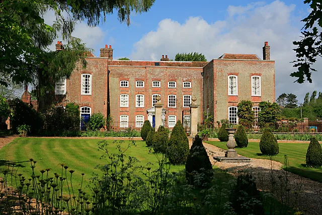
Kilmeston Manor
Stately homes · 1.4 km

Kilmeston Down
Mountains & hills · 1.4 km

Lomer Village
Archaeological sites · 1.6 km
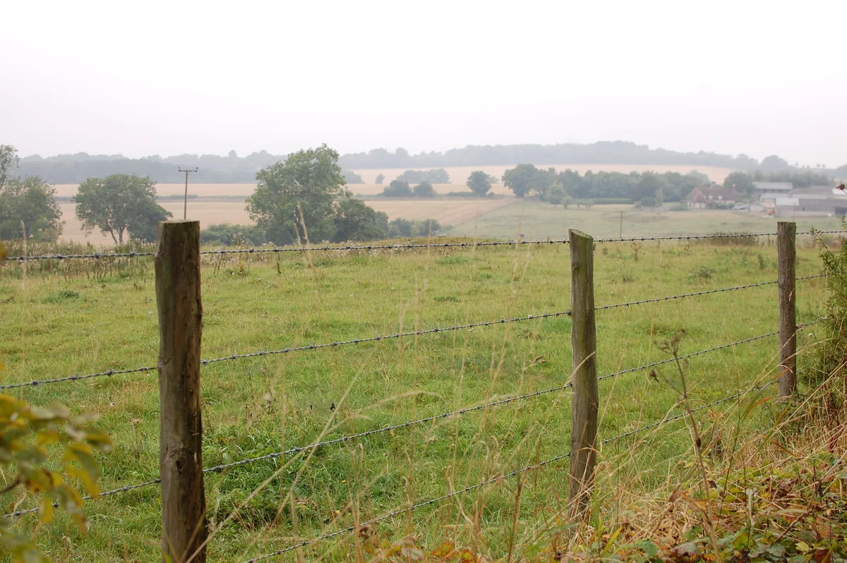
Lomer, deserted medieval settlement
Hill forts · 1.6 km

Beauworth Manor
Manor houses · 1.7 km

Milbury's
Historic pubs · 2.2 km

Preshaw House
Manor houses · 2.4 km

Hinton Ampner
Natural landmarks · 2.5 km

Church of All Saints
Historic churches · 2.6 km
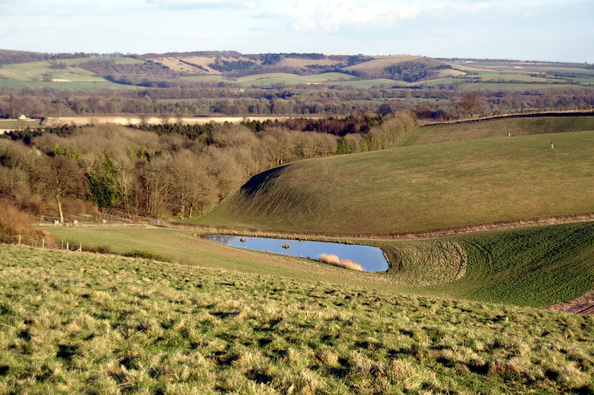
Beacon Hill
Mountains & hills · 2.8 km
Nearby
📷 5Flagship📷 5Stately homes · South East England
Kilmeston Manor
Kilmeston Manor — country house in Kilmeston, Hampshire, England, UK.
📷 5Mountains & hills · South East England
Kilmeston Down
Kilmeston Down — mountain in england south east. Elevation: 173 m.
📷 5Archaeological sites · South East England
Lomer Village
Lomer Village — an archaeological site in South East England, United Kingdom.
📷 5Hill forts · South East England
Lomer, deserted medieval settlement
Lomer, deserted medieval settlement — archaeological site in Exton, Winchester, England, UK.
Where to eat & stay near College Down Farm
Places to stay
 📷 5
Caravan parks · South East England
Brocklands Farm
Brocklands Farm — a caravan park in england south east.
 📷 5
Caravan parks · South East England
The Spinney Caravan Park
The Spinney Caravan Park — a caravan park in england south east.
 📷 7
Hotels · South East England
The Swan Hotel
The Swan Hotel — a hotel in england south east.
 📷 7
 📷 7
 📷 5
Places to eat & drink
📷 5 📷 7
Historic pubs · South East England
The Flowerpots Inn
The Flowerpots Inn in England South East, United Kingdom.
 📷 7
 📷 7
Historic pubs · South East England
The George And Falcon Inn
The George And Falcon Inn in England South East, United Kingdom.
 📷 7
Historic pubs · South East England
The Bakers Arms
The Bakers Arms in England South East, United Kingdom.
 📷 5
Historic pubs · South East England
Brushmakers Arms
Brushmakers Arms in England South East, United Kingdom.
More places in this region
 📷 5
Campsites · South East England
Hammonds Glamping
Hammonds Glamping — a campsite in england london.
 📷 5
Campsites · South East England
Chantry Wood Campsite
Chantry Wood Campsite — a campsite in england london.
 📷 5
Campsites · South East England
Ranmore Common Campsite
Ranmore Common Campsite — a campsite in england london.
 📷 5
Frequently asked questions
- Where is College Down Farm?
- College Down Farm is in Hampshire, South-East England, United Kingdom (postcode SO24 0NS), in the parish of Kilmiston.
- What is College Down Farm?
- College Down Farm — a campsite in england south east.
- How do I get to College Down Farm?
- The nearest railway station is Alresford, about 7.5 km away. The nearest town is Cheriton. Drivers can use postcode SO24 0NS.
- Is College Down Farm a protected site?
- Yes — College Down Farm is part of the River Itchen SSSI Site of Special Scientific Interest.
- How do I get to College Down Farm?
- The nearest railway station is Alresford, about 7.5 km away. Drivers can navigate to postcode SO24 0NS.