Natural landmarks · Northern Ireland
Colebrooke River
In or near Newtownbutler.
Colebrooke River in Northern Ireland, United Kingdom.

Kenneth Allen — CC BY-SA 2.0 via Wikimedia Commons licence
Plan your visit
- Typical visit
- 1 h–2 h
- Free entry
- Dog-friendly
About
Colebrooke River is a place of interest in Northern Ireland, United Kingdom — drawn from open-data sources for visitor reference. See the linked Wikipedia article for the full description.
Photo gallery
From the Wikipedia article
The Colebrooke River (Irish: An Abha Dhubh) is a river in County Fermanagh, Northern Ireland. Its source is in the Sliabh Beagh mountains where it is known as the Many Burns. The river flows in a south-westerly direction, through Maguiresbridge, before merging with the Tempo River and finally entering Upper Lough Erne near Inishcollan, Lisnaskea.
Excerpt from Wikipedia under CC BY-SA 4.0. See the source article linked in Sources below.
- Coordinates
- 54.2500, -7.5000
- District
- Fermanagh and Omagh
- Postcode
- BT92 0QJ
- Parliamentary constituency
- Fermanagh and South Tyrone
Sources
- wikidata: Q5142711 (CC0)
- wikipedia: Colebrooke River (CC BY-SA 4.0)
Other places nearby

Lisnaskea Caravan Park
Caravan parks · 2.3 km

Upper Lough Erne
Lakes · 2.9 km

Carrowhony Pet Farm
Farms (open to visitors) · 2.9 km

Lisnaskea railway station
Natural landmarks · 3.2 km

Lisnaskea
Villages · 3.2 km

St Kevin's College, Lisnaskea
Historic churches · 3.4 km
St. Ronan's Hall
Theatres · 3.5 km
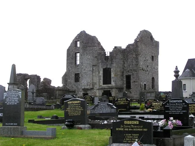
Castle Balfour
Castles · 3.5 km

Inishbeg Hill
Mountains & hills · 3.6 km

Upper Lough Erne
Natural landmarks · 3.6 km
Aghalurcher Monastery
Abbeys & priories · 3.6 km

Celtic High Cross
Memorials & monuments · 3.7 km
Nearby
📷 3Caravan parks · Northern Ireland
Lisnaskea Caravan Park
Lisnaskea Caravan Park — a caravan park in northern ireland.
📷 5Farms (open to visitors) · Northern Ireland
Carrowhony Pet Farm
Carrowhony Pet Farm — a other in northern-ireland, United Kingdom.
📷 3Natural landmarks · Northern Ireland
Lisnaskea railway station
Lisnaskea railway station in Northern Ireland, United Kingdom.
📷 5📷 3Historic churches · Northern Ireland
St Kevin's College, Lisnaskea
St Kevin's College, Lisnaskea in Northern Ireland, United Kingdom.
Where to eat & stay near Colebrooke River
Places to stay
📷 3Caravan parks · Northern Ireland
Lisnaskea Caravan Park
Lisnaskea Caravan Park — a caravan park in northern ireland.
 📷 5
📷 5 📷 4
📷 4Caravan parks · Northern Ireland
Riverside Farm, Marina & Caravan Park
Riverside Farm, Marina & Caravan Park — a caravan park in northern ireland.
 📷 5
📷 5Caravan parks · Northern Ireland
Round Lake Caravan Park
Round Lake Caravan Park — a caravan park in northern ireland.
 📷 5
📷 5Caravan parks · Northern Ireland
Round Lake Caravan Park
Round Lake Caravan Park — a caravan park in northern ireland.
 📷 5
📷 5Hotels · Northern Ireland
Lough Erne Golf Resort
Lough Erne Golf Resort — a hotel in northern ireland.
More natural landmarks in this region
 Flagship📷 4
Natural landmarks · Northern Ireland
Lough Erne
Lough Erne — lake in County Fermanagh, Northern Ireland, UK.
 Flagship📷 4
Natural landmarks · Northern Ireland
Lough Neagh
Lough Neagh — large lake in Northern Ireland.
 📷 3
📷 3Natural landmarks · Northern Ireland
Ballysaggart Lough
Ballysaggart Lough — lake in the United Kingdom.
 📷 5
📷 5Natural landmarks · Northern Ireland
Belmore Mountain
Belmore Mountain — mountain in the United Kingdom.
Frequently asked questions
- Where is Colebrooke River?
- Colebrooke River is in Northern Ireland, United Kingdom (postcode BT92 0QJ).
- What is Colebrooke River?
- Colebrooke River in Northern Ireland, United Kingdom.
- How do I get to Colebrooke River?
- Drivers can use postcode BT92 0QJ.
- Is Colebrooke River free to visit?
- Yes, Colebrooke River is free to enter.
- How do I get to Colebrooke River?
- Drivers can navigate to postcode BT92 0QJ. It sits within the Fermanagh and South Tyrone parliamentary constituency.