
Mountains & hills · Central Scotland
Coille Mhor Hill
In or near Luss.
Coille Mhor Hill — mountain in scotland highlands. Elevation: 232 m.

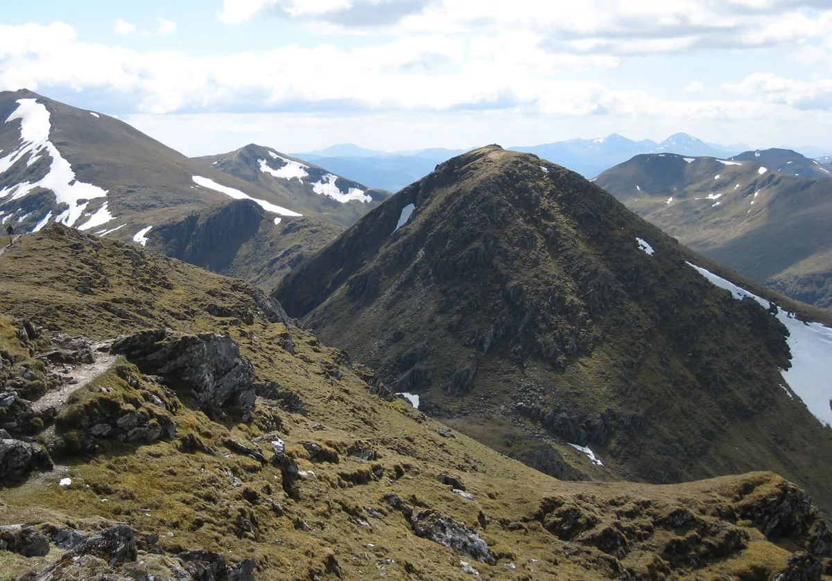
Richard Law — CC BY-SA 2.0 via Wikimedia Commons licence

Plan your visit
- Typical visit
- 3 h–8 h
- Best time of year
- Late spring – early autumn (May–Oct)
- Nearest railway station
- Arrochar and Tarbet · 8.6 km
- Dog-friendly
About
Coille Mhor Hill is a mountain located in scotland highlands. Elevation: 232 m. A named British peak recorded in OpenStreetMap. Peaks are typically named on Ordnance Survey 1:50k mapping.
Photo gallery
Place summary
Coille Mhor Hill is a mountain located in the Scottish Highlands. It offers a rugged landscape typical of the region, appealing to hikers and outdoor enthusiasts. The area is characterised by its natural beauty and diverse wildlife, making it a suitable destination for those looking to explore the Highlands' terrain. Visitors can expect varying trails and scenic views of the surrounding landscape.
AI-generated from the structured facts on this page (operator, designation, listing, era). Not a substitute for visiting.
- Coordinates
- 56.1499, -4.6229
- District
- Stirling
- Postcode
- G63 0AR
- Parliamentary constituency
- Stirling and Strathallan
- Nearest railway station
- Arrochar and Tarbet — 8.6 km
Sources
- osm: n1301238047 (ODbL)
Other places nearby

Rowardennan
Villages · 1.1 km

Lochan Maol Dhuinne Camping permit area March-September
Campsites · 1.3 km

Rowardennan War Memorial
Memorials & monuments · 1.3 km

Rowardennan
Mountains & hills · 1.3 km

Ben Lomond Bunkhouse
Hostels · 1.5 km

Eilean nan Deargannan
Islands · 1.5 km

Rowardennan Lodge Youth Hostel
Hostels · 1.6 km
Rowardennan Lodge Youth Hostel
Campsites · 1.7 km

Mill of Ross Crannog
Archaeological sites · 1.7 km

Mill of Ross Crannog
Archaeological sites · 1.7 km
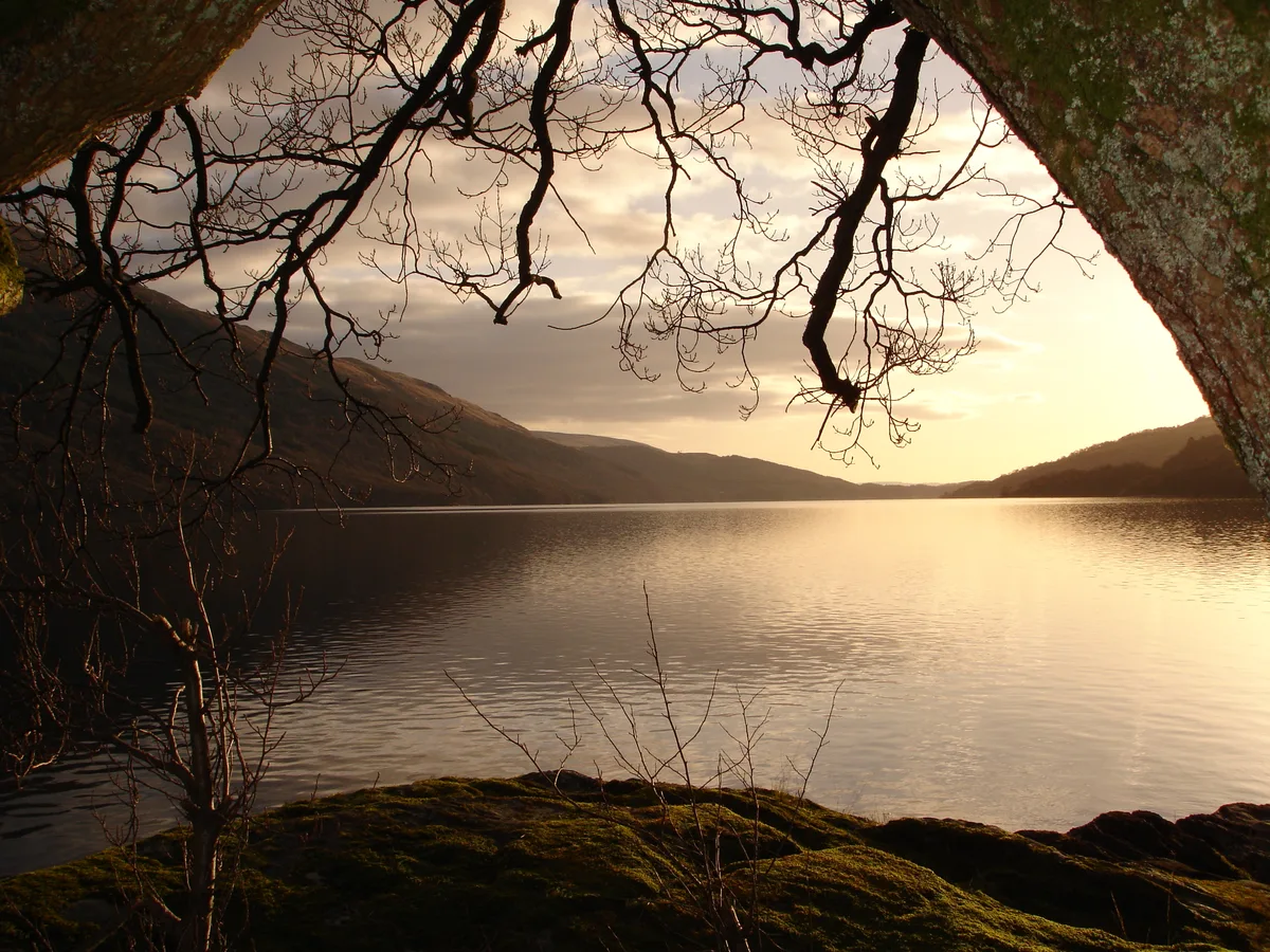
Loch Lomond
Natural landmarks · 1.8 km

Sron Aonaich
Mountains & hills · 2.2 km
Nearby
📷 5📷 5Campsites · Central Scotland
Lochan Maol Dhuinne Camping permit area March-September
Lochan Maol Dhuinne Camping permit area March-September — a campsite in scotland highlands.
📷 3Memorials & monuments · Central Scotland
Rowardennan War Memorial
Rowardennan War Memorial — a memorial in Central Scotland, United Kingdom.
📷 4Mountains & hills · Central Scotland
Rowardennan
Rowardennan in Scotland Islands, United Kingdom.
📷 5Hostels · Central Scotland
Ben Lomond Bunkhouse
Ben Lomond Bunkhouse — a hostel in scotland highlands.
📷 4Islands · Central Scotland
Eilean nan Deargannan
Eilean nan Deargannan — island in Loch Lomond, Stirling, Scotland, UK.
Where to eat & stay near Coille Mhor Hill
Places to stay
📷 5Campsites · Central Scotland
Lochan Maol Dhuinne Camping permit area March-September
Lochan Maol Dhuinne Camping permit area March-September — a campsite in scotland highlands.
📷 5Hostels · Central Scotland
Ben Lomond Bunkhouse
Ben Lomond Bunkhouse — a hostel in scotland highlands.
📷 5Hostels · Central Scotland
Rowardennan Lodge Youth Hostel
Rowardennan Lodge Youth Hostel — a hostel in scotland highlands.
📷 5Campsites · Central Scotland
Rowardennan Lodge Youth Hostel
Rowardennan Lodge Youth Hostel — a campsite in scotland highlands.
 📷 5
Campsites · Central Scotland
Inverbeg Holiday Park
Inverbeg Holiday Park — a campsite in scotland highlands.
 📷 5
Campsites · Central Scotland
Suie Field camping permit area March-September
Suie Field camping permit area March-September — a campsite in scotland highlands.
Places to eat & drink
 📷 7
Historic pubs · Central Scotland
Ardencaple Hotel Including Former Stables, Rhu Road Lower, Rhu
Ardencaple Hotel Including Former Stables, Rhu Road Lower, Rhu in Scotland Central, United Kingdom.
 📷 7📷 5
Historic pubs · Central Scotland
Central Bar, 127 Main Street, Renton
Central Bar, 127 Main Street, Renton in Scotland Central, United Kingdom.
 📷 5
Historic pubs · Central Scotland
The Drovers Inn
The Drovers Inn — Historic pub — listed building or notable heritage status.
 📷 5
Historic pubs · Central Scotland
The James Watt
The James Watt in Scotland Central, United Kingdom.
More mountains in this region
 📷 3
 📷 3
 📷 3
Mountains & hills · Central Scotland
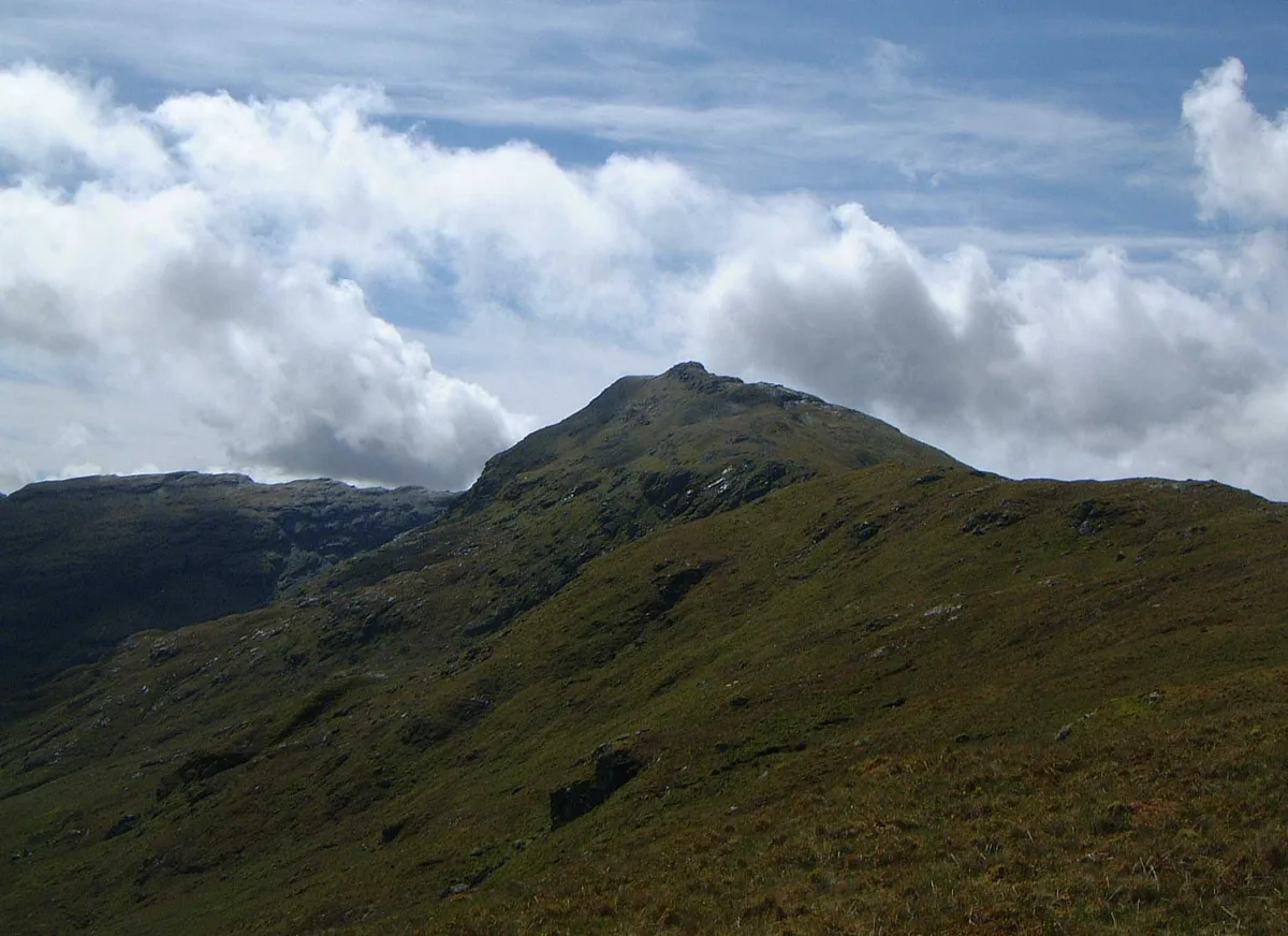
An Caisteal
An Caisteal — Named summit at 995 m.
 📷 5
Frequently asked questions
- Where is Coille Mhor Hill?
- Coille Mhor Hill is in central Scotland, United Kingdom (postcode G63 0AR).
- What is Coille Mhor Hill?
- Coille Mhor Hill — mountain in scotland highlands. Elevation: 232 m.
- How do I get to Coille Mhor Hill?
- The nearest railway station is Arrochar and Tarbet, about 8.6 km away. The nearest town is Luss. Drivers can use postcode G63 0AR.
- How do I get to Coille Mhor Hill?
- Drivers can navigate to postcode G63 0AR. It sits within the Stirling and Strathallan parliamentary constituency.