
Mountains & hills · Central Scotland
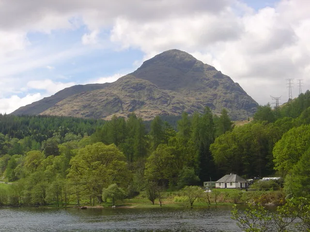
Cnoc a' Chaisteil
In or near Glendaruel.
Cnoc a' Chaisteil — mountain in scotland highlands. Elevation: 245 m.

John Ferguson — CC BY-SA 2.0 via Wikimedia Commons licence

Plan your visit
- Typical visit
- 3 h–8 h
- Best time of year
- Late spring – early autumn (May–Oct)
- Dog-friendly
About
Cnoc a' Chaisteil is a mountain located in scotland highlands. Elevation: 245 m. A named British peak recorded in OpenStreetMap. Peaks are typically named on Ordnance Survey 1:50k mapping.
Photo gallery
Place summary
Cnoc a' Chaisteil is a mountain located in the Scottish Highlands. It is characterised by its rugged terrain and scenic views typical of the region. The area is popular with walkers and climbers, offering a variety of routes for different skill levels. Visitors can expect a remote and tranquil environment, ideal for outdoor activities.
AI-generated from the structured facts on this page (operator, designation, listing, era). Not a substitute for visiting.
- Coordinates
- 55.9250, -5.2180
- District
- Argyll and Bute
- Postcode
- PA21 2EG
- Parliamentary constituency
- Argyll, Bute and South Lochaber
Sources
- osm: n2457819761 (ODbL)
Other places nearby

Creag Rubha Bhain
Mountains & hills · 0.6 km

Cnoc an Fhithich
Mountains & hills · 0.6 km

Caladh Castle
Castles · 1.3 km

Beinn Capuill
Mountains & hills · 1.4 km
Beinn Capuill
Mountains & hills · 1.5 km

Pier, Tighnabruaich
Piers · 1.7 km

Cnoc Arach nam Muc
Mountains & hills · 1.7 km

Caladh Harbour
Marinas · 1.7 km
Cnoc Mhic Dhugaill
Mountains & hills · 1.7 km

Dun Mor
Mountains & hills · 1.7 km

Eilean Dubh
Islands · 1.8 km

Torran Turach
Mountains & hills · 1.8 km
Nearby
📷 5Mountains & hills · Central Scotland
Creag Rubha Bhain
Creag Rubha Bhain — mountain in scotland highlands. Elevation: 157 m.
📷 5Mountains & hills · Central Scotland
Cnoc an Fhithich
Cnoc an Fhithich — mountain in scotland highlands. Elevation: 298 m.
📷 3Castles · Central Scotland
Caladh Castle
Caladh Castle — a castle in Central Scotland, United Kingdom.
📷 5Mountains & hills · Central Scotland
Beinn Capuill
Beinn Capuill — a hill or mountain in scotland highlands.
📷 5Mountains & hills · Central Scotland
Beinn Capuill
Beinn Capuill — mountain in scotland highlands. Elevation: 435 m.
📷 5Piers · Central Scotland
Pier, Tighnabruaich
Pier, Tighnabruaich — category B listed building-listed pier in scotland-highlands, United Kingdom.
Where to eat & stay near Cnoc a' Chaisteil
Places to stay
 📷 5
Campsites · Central Scotland
Glendaruel Caravan & Camping Park
Glendaruel Caravan & Camping Park — a campsite in scotland highlands.
 📷 5
Hostels · Central Scotland
Bute Backpackers Hotel
Bute Backpackers Hotel — a hostel in scotland highlands.
 📷 4
Hotels · Central Scotland
Glenburn Hotel
Glenburn Hotel in Inner Hebrides + Skye, United Kingdom.
 📷 3
Campsites · Central Scotland
Tarbert Holiday Park
Tarbert Holiday Park — a campsite in scotland highlands.
 📷 5
Caravan parks · Central Scotland
The Secret Glen
The Secret Glen — a caravan park in scotland highlands.
 📷 5
Caravan parks · Central Scotland
Cot House Caravan Park
Cot House Caravan Park — a caravan park in scotland highlands.
Places to eat & drink
 📷 7
Historic pubs · Central Scotland
Cairnbaan Hotel, Crinan Canal
Cairnbaan Hotel, Crinan Canal in Scotland Central, United Kingdom.
More mountains in this region
 📷 3
 📷 3
 📷 3
Mountains & hills · Central Scotland
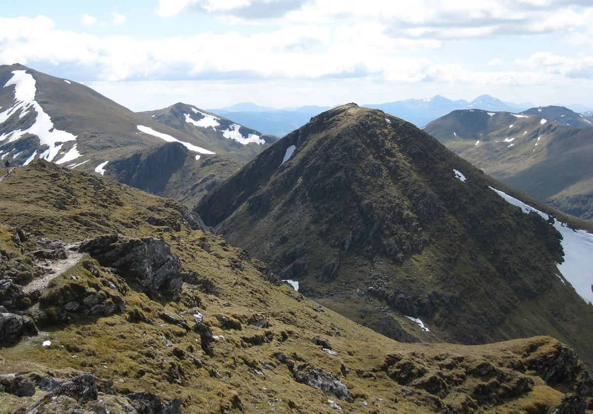
An Caisteal
An Caisteal — Named summit at 995 m.
 📷 5
Frequently asked questions
- Where is Cnoc a' Chaisteil?
- Cnoc a' Chaisteil is in central Scotland, United Kingdom (postcode PA21 2EG).
- What is Cnoc a' Chaisteil?
- Cnoc a' Chaisteil — mountain in scotland highlands. Elevation: 245 m.
- How do I get to Cnoc a' Chaisteil?
- The nearest town is Glendaruel. Drivers can use postcode PA21 2EG.
- How do I get to Cnoc a' Chaisteil?
- Drivers can navigate to postcode PA21 2EG. It sits within the Argyll, Bute and South Lochaber parliamentary constituency.