
Mountains & hills · South East England
Cliff End
In or near Alfriston.
Cliff End — mountain in england south east. Elevation: 97 m.

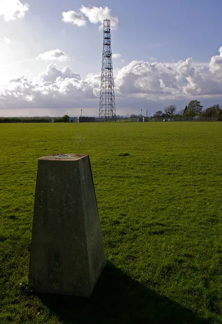
Trevor Littlewood — CC BY-SA 2.0 via Wikimedia Commons licence

Plan your visit
- Typical visit
- 3 h–8 h
- Best time of year
- Late spring – early autumn (May–Oct)
- Nearest railway station
- Seaford · 4.6 km
- Dog-friendly
About
Cliff End is a mountain located in england south east. Elevation: 97 m. A named British peak recorded in OpenStreetMap. Peaks are typically named on Ordnance Survey 1:50k mapping.
Photo gallery
Protected designations
- Site of Special Scientific Interest: Seaford to Beachy Head SSSI
- National Nature Reserve: SEVEN SISTERS
Designations sourced from Natural England open data under OGL v3.
Place summary
Cliff End is a mountain located in South-East England. It features rugged terrain and offers panoramic views of the surrounding landscape. The area is suitable for various outdoor activities, including hiking and climbing. Visitors can expect a natural setting that attracts both seasoned adventurers and casual walkers.
AI-generated from the structured facts on this page (operator, designation, listing, era). Not a substitute for visiting.
- Coordinates
- 50.7593, 0.1617
- County
- East Sussex
- District
- Wealden
- Parish
- Cuckmere Valley
- Postcode
- BN25 4AG
- Parliamentary constituency
- Lewes
- Nearest railway station
- Seaford — 4.6 km
Sources
- osm: n9920147550 (ODbL)
Other places nearby

Seven Sisters
Viewpoints · 0.4 km

Seven Sisters Country Park
Country parks · 0.6 km

Newbarn Hill
Mountains & hills · 0.7 km

Cuckmere River
Natural landmarks · 0.9 km

Friston Airfield Memorial Stone
Memorials & monuments · 1.0 km

Seven Sisters
Viewpoints · 1.2 km

Remains of Exceat parish church: part of the former medieval settlement of Exceat, 690m south south west of Westdean Manor
Archaeological sites · 1.2 km

Cuckmere Haven War Memorial
Memorials & monuments · 1.2 km

Exceat Hill
Mountains & hills · 1.3 km
Seven Sisters Cliffs
Natural landmarks · 1.6 km

Hope Gap
Beaches · 1.6 km

The William Charles Campbell Monument
Memorials & monuments · 1.6 km
Nearby
📷 5Viewpoints · South East England
Seven Sisters
Seven Sisters is a viewpoint in the United Kingdom.
📷 5Country parks · South East England
Seven Sisters Country Park
Seven Sisters Country Park — a country park in South East England, United Kingdom.
📷 5Mountains & hills · South East England
Newbarn Hill
Newbarn Hill — mountain in england south east. Elevation: 100 m.
📷 5Natural landmarks · South East England
Cuckmere River
Cuckmere River — a other in england-south-east, United Kingdom.
📷 5Memorials & monuments · South East England
Friston Airfield Memorial Stone
Friston Airfield Memorial Stone is a memorial in the United Kingdom.
📷 5Viewpoints · South East England
Seven Sisters
Seven Sisters is a viewpoint in the United Kingdom.
Where to eat & stay near Cliff End
Places to stay
 📷 5
Caravan parks · South East England
Alfriston Camping Park
Alfriston Camping Park — a caravan park in england south east.
 📷 5
Campsites · South East England
Alfriston Camping Park
Alfriston Camping Park — a campsite in england south east.
 📷 7
Hotels · South East England
Deans Place
Deans Place — a hotel in england south east.
 📷 7
 📷 7
Hotels · South East England
Star Inn
Star Inn — a hotel in england south east.
 📷 5
Caravan parks · South East England
Sunnyside Caravan Park
Sunnyside Caravan Park — a caravan park in england south east.
Places to eat & drink
 📷 5
Historic pubs · South East England
The Plough And Harrow Inn
The Plough And Harrow Inn in England South East, United Kingdom.
 📷 5
Historic pubs · South East England
The Eight Bells Inn
The Eight Bells Inn in England South East, United Kingdom.
 📷 7
 📷 5
Historic pubs · South East England
The Rainbow
The Rainbow in England South East, United Kingdom.
 📷 5
Historic pubs · South East England
Rose Cottage Inn
Rose Cottage Inn in England South East, United Kingdom.
 📷 5
Historic pubs · South East England
The George Hotel
The George Hotel in England South East, United Kingdom.
More mountains in this region
 📷 5
 📷 5
Mountains & hills · South East England
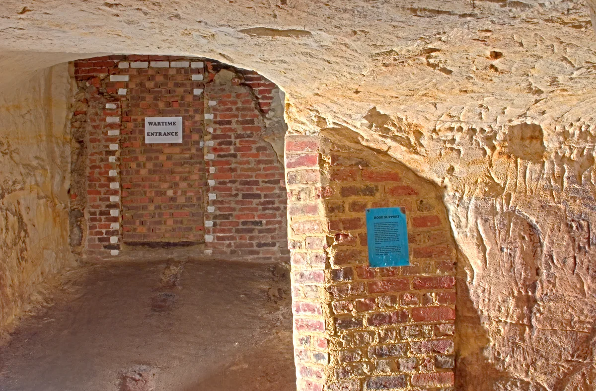
Reigate Caves
Reigate Caves is a mountain or hill in the United Kingdom.
 📷 5
Mountains & hills · South East England
North Downs
North Downs — a hill or mountain in england london.
 📷 5
Mountains & hills · South East England
Blue Bell Hill
Blue Bell Hill — a hill or mountain in england london.
Frequently asked questions
- Where is Cliff End?
- Cliff End is in East Sussex, South-East England, United Kingdom (postcode BN25 4AG), in the parish of Cuckmere Valley.
- What is Cliff End?
- Cliff End — mountain in england south east. Elevation: 97 m.
- How do I get to Cliff End?
- The nearest railway station is Seaford, about 4.6 km away. The nearest town is Alfriston. Drivers can use postcode BN25 4AG.
- Is Cliff End a protected site?
- Yes — Cliff End is part of the Seaford to Beachy Head SSSI Site of Special Scientific Interest and the SEVEN SISTERS National Nature Reserve.
- How do I get to Cliff End?
- The nearest railway station is Seaford, about 4.6 km away. Drivers can navigate to postcode BN25 4AG.