
Abbeys & priories · East Midlands
Cistercian abbey and mansion, with fishpond and mound at Garendon
In or near Woodhouse Eaves.
Cistercian abbey and mansion, with fishpond and mound at Garendon — scheduled monument-listed abbey in england-east-midlands, United Kingdom.

Roger Templeman — CC BY-SA 2.0 via Wikimedia Commons licence

Plan your visit
- Typical visit
- 45 min–1.5 h
- Nearest railway station
- Loughborough · 4.1 km
- Family-friendly
- Limited wheelchair access
Getting there & planning your visit
The nearest railway station is Loughborough, located 4.1 km away. The postcode for the Cistercian abbey and mansion is LE11 4SH. Accessibility is limited for wheelchair users.
About
Cistercian abbey and mansion, with fishpond and mound at Garendon is a scheduled monument-listed abbey in england-east-midlands, United Kingdom, registered on the National Heritage List for England (NHLE entry 1009171). Listed status protects buildings and structures of special architectural or historic interest. See the linked Wikipedia article for further details.
Photo gallery
Heritage listing
Details The monument at Garendon is situated 2km west of Loughborough and includes the below ground remains of a Cistercian abbey and post medieval mansion, a fishpond and a prospect mound. The monument is divided into two areas. The first area includes the abbey which was founded in 1133 as a daughter house of the Cistercian house of Waverley in Surrey. Following dissolution in 1536, a palladian mansion was built over the west part of the abbey in the 17th century, the cellars of which incorporated part of the abbey structure. The mansion was in turn demolished in 1964. Excavations in 1966-68 established the plans of the chapter house and dormitory of the abbey and located parts of the north and south transept chapels of the abbey church to the north. The abbey drain, later used by the 17th century mansion as part of the sewage system, lies on the south side of the abbey buildings and originally extended from a pond situated to the west carrying water and refuse from the abbey to an undergroud cess-pit to the east of the abbey. The western part of the drain has not been investigated, but the known length extends for 75m and is 1.6m high and 0.8m wide in maximum dimensions. From the excavation evidence, the location of the cellars of the mansion, and parallels with the plans of other Cistercian houses, the abbey complex is known to have covered an area measuring approximately 70 x 80m, but it is possible that the buildings extended beyond the area of the scheduling. The 17th century mansion is known to have measured approximately 100 x 40m. The second area lies to the south east and contains an oval shaped prospect mound at its eastern end measuring 25 x 15m and 3m high with a shallow ditch on its south-eastern side. The mound formed a part of the formal garden laid out
From the Historic England List Entry under OGL v3.
Place summary
Cistercian abbey and mansion located in the East Midlands, specifically in Leicestershire's Stonebow Village. This site is designated as a scheduled monument, featuring notable remains including a fishpond and a mound.
AI-generated from the structured facts on this page (operator, designation, listing, era). Not a substitute for visiting.
- Coordinates
- 52.7739, -1.2574
- County
- Leicestershire
- District
- Charnwood
- Parish
- Stonebow Village
- Postcode
- LE11 4SH
- Parliamentary constituency
- Loughborough
- Nearest railway station
- Loughborough — 4.1 km
Sources
- wikidata: Q17648369 (CC0)
Other places nearby

Garendon Abbey
Abbeys & priories · 0.1 km

Garendon Abbey
Cathedrals · 0.1 km

Garedon Park, Stonebow Bridge
Historic bridges · 0.8 km

Bellevue Hill
Mountains & hills · 1.3 km

Garendon Park
Public art & sculpture · 1.5 km

The Flame
Public art & sculpture · 1.7 km

Dialogue
Public art & sculpture · 1.7 km
La Retraite
Public art & sculpture · 1.7 km

Dishley Grange
Historic houses · 1.8 km

David Collett BBQ area
Natural landmarks · 1.8 km
Public Workbench
Public art & sculpture · 1.8 km

Macaroni Constellation
Public art & sculpture · 1.9 km
Nearby
📷 3Abbeys & priories · East Midlands
Garendon Abbey
Garendon Abbey — abbey in Leicestershire, England, UK.
📷 3📷 3Historic bridges · East Midlands
Garedon Park, Stonebow Bridge
Garedon Park, Stonebow Bridge — Grade II listed building-listed bridge in england-east-midlands, United Kingdom.
📷 5Mountains & hills · East Midlands
Bellevue Hill
Bellevue Hill — mountain in england east midlands. Elevation: 68 m.
📷 3Public art & sculpture · East Midlands
Garendon Park
Garendon Park — a public art in england-east-midlands, United Kingdom.
📷 3Public art & sculpture · East Midlands
The Flame
The Flame — a public art in england-east-midlands, United Kingdom.
Where to eat & stay near Cistercian abbey and mansion, with fishpond and mound at Garendon
Places to stay
 📷 5
📷 5Caravan parks · East Midlands
County Bridge Mobile Home Park
County Bridge Mobile Home Park — a caravan park in england east midlands.
 📷 7
📷 7B&Bs · East Midlands
Holywell House
Holywell House — a bed-and-breakfast in england east midlands.
 📷 5
📷 5Hotels · East Midlands
The Cedars Hotel
The Cedars Hotel — a hotel in england east midlands.
 📷 5
📷 5Campsites · East Midlands
The Oaks Scout Campsite
The Oaks Scout Campsite — a campsite in england east midlands.
 📷 7
📷 7Hotels · East Midlands
Quorn Country Hotel, Charnwood House
Quorn Country Hotel, Charnwood House — a hotel in england east midlands. 4-star.
 📷 5
📷 5Campsites · East Midlands
Midshires Barn Campsite
Midshires Barn Campsite — a campsite in england east midlands.
Places to eat & drink
 📷 7
📷 7 📷 5
📷 5Historic pubs · East Midlands
Three Horseshoes
Three Horseshoes in England East Midlands, United Kingdom.
 📷 5
📷 5Historic pubs · East Midlands
The Three Horseshoes Public House
The Three Horseshoes Public House in England East Midlands, United Kingdom.
 📷 7
📷 7Historic pubs · East Midlands
Rothley Court
Rothley Court in England East Midlands, United Kingdom.
 📷 7
📷 7 📷 5
📷 5Historic pubs · East Midlands
Hardinge Arms
Hardinge Arms in England East Midlands, United Kingdom.
More abbeys in this region
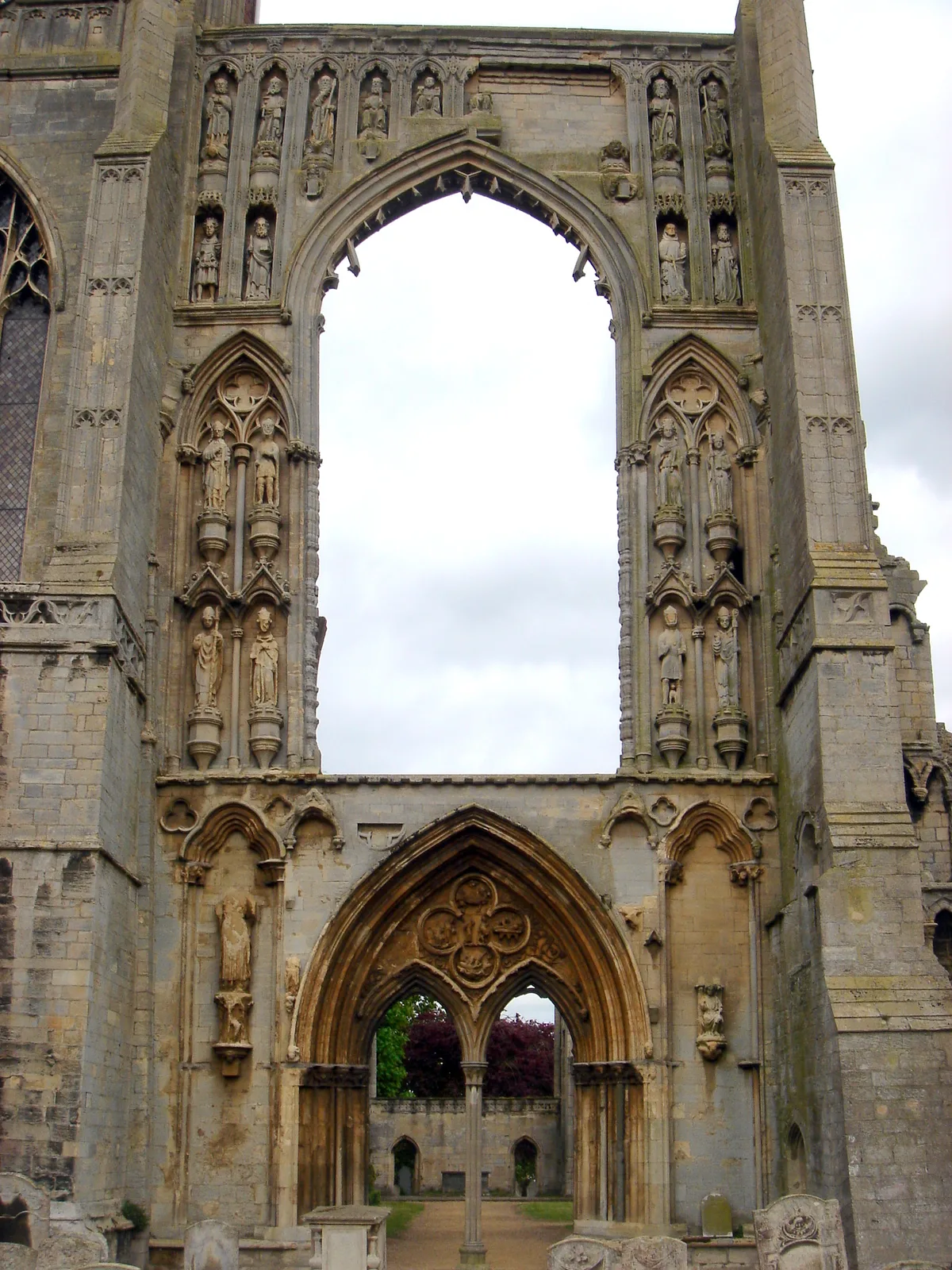 📷 5
📷 5Abbeys & priories · East Midlands
Crowland Abbey
Crowland Abbey — parish church of Church of England in Crowland, Lincolnshire, England, UK.
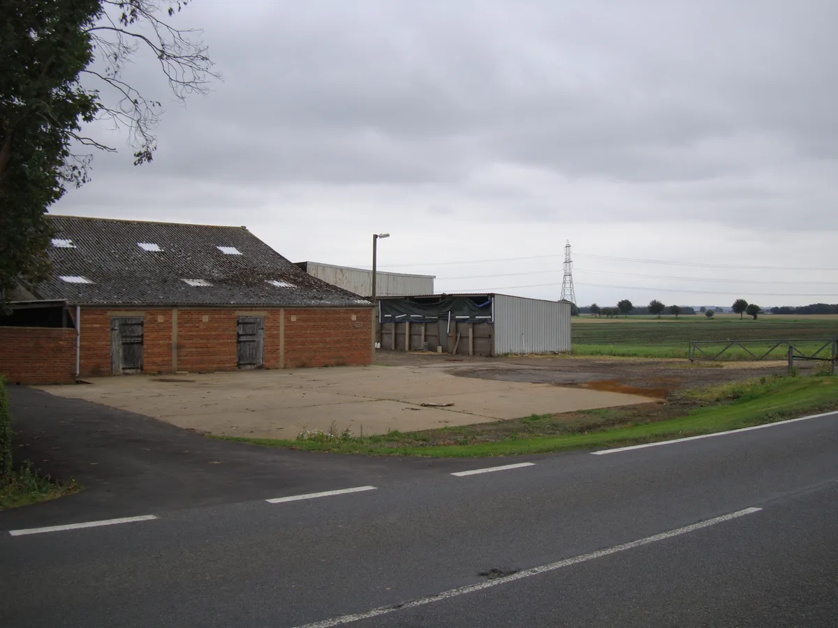 📷 5
📷 5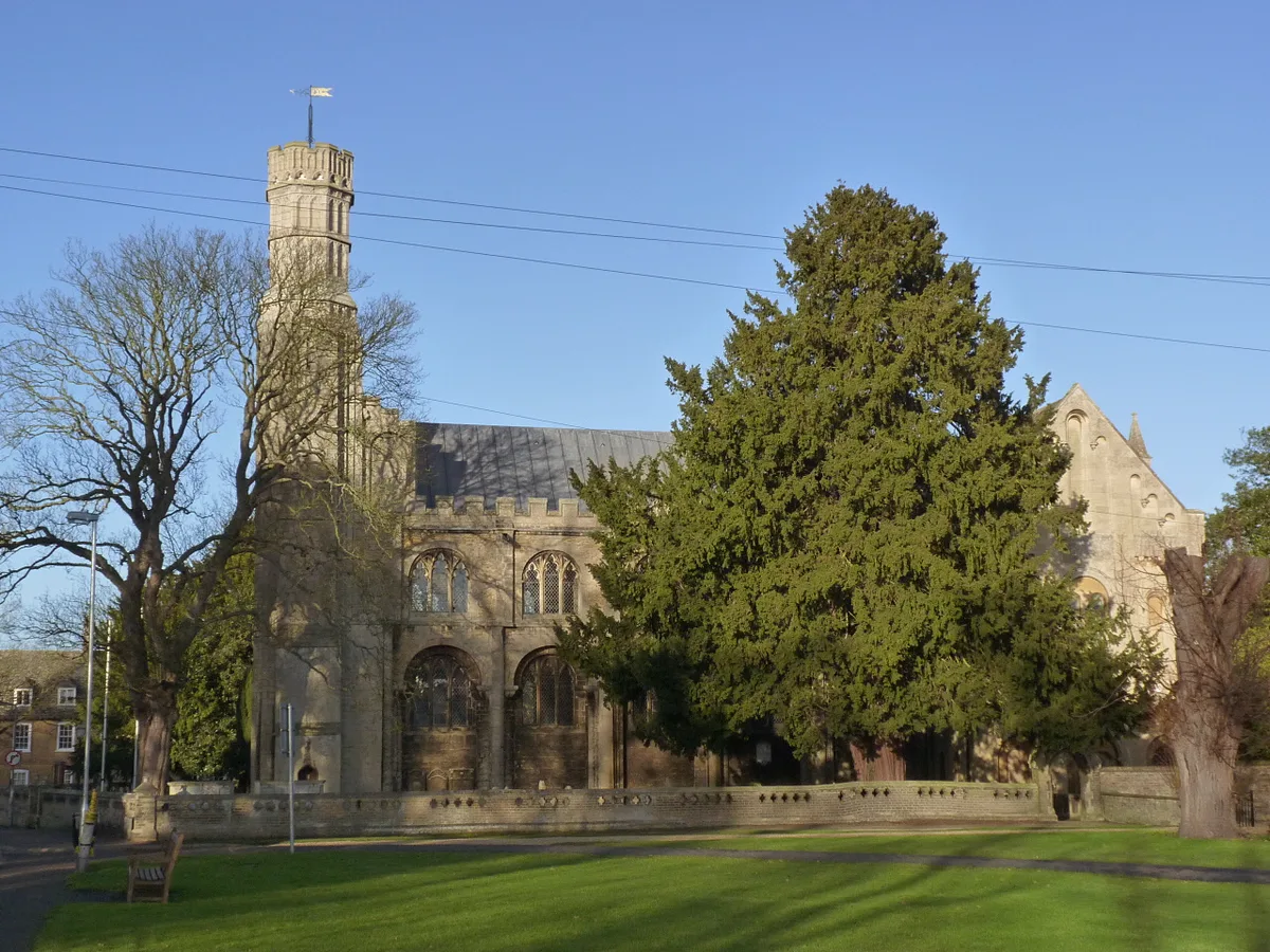 📷 5
📷 5Abbeys & priories · East Midlands
Thorney Abbey
Thorney Abbey — abbey in Thorney, Cambridgeshire, England, UK.
 📷 5
📷 5Abbeys & priories · East Midlands
St Leonard's Priory (remains of)
St Leonard's Priory (remains of) — a abbey in england-london, United Kingdom.
Frequently asked questions
- Where is Cistercian abbey and mansion, with fishpond and mound at Garendon?
- Cistercian abbey and mansion, with fishpond and mound at Garendon is in Leicestershire, the East Midlands, United Kingdom (postcode LE11 4SH), in the parish of Stonebow Village.
- What is Cistercian abbey and mansion, with fishpond and mound at Garendon?
- Cistercian abbey and mansion, with fishpond and mound at Garendon — scheduled monument-listed abbey in england-east-midlands, United Kingdom.
- How do I get to Cistercian abbey and mansion, with fishpond and mound at Garendon?
- The nearest railway station is Loughborough, about 4.1 km away. The nearest town is Woodhouse Eaves. Drivers can use postcode LE11 4SH.
- Is Cistercian abbey and mansion, with fishpond and mound at Garendon a listed building?
- Cistercian abbey and mansion, with fishpond and mound at Garendon is officially recognised as scheduled monument listed.
- How do I get to Cistercian abbey and mansion, with fishpond and mound at Garendon?
- The nearest railway station is Loughborough, about 4.1 km away. Drivers can navigate to postcode LE11 4SH.