
Historic churches · West Midlands
Churchyard cross 40m north west of St Mary's Church
In or near Wyre Piddle.
Churchyard cross 40m north west of St Mary's Church — a Grade II-listed church in england-west-midlands, United Kingdom.

Philip Halling — CC BY-SA 2.0 via Wikimedia Commons licence

Plan your visit
- Typical visit
- 30 min–1 h
- Nearest railway station
- Pershore · 3.0 km
- Free entry
About
Churchyard cross 40m north west of St Mary's Church is a Grade II-listed building in england-west-midlands, United Kingdom. Grade II status is conferred by Historic England (or Cadw, Historic Environment Scotland or NIEA equivalents) on buildings of exceptional national interest. See the linked Wikipedia article for full historical and architectural details.
Photo gallery
Protected designations
- Area of Outstanding Natural Beauty: Cotswolds
Designations sourced from Natural England open data under OGL v3.
Place summary
The Churchyard cross 40m north west of St Mary's Church is located in Wick, Worcestershire, within the West Midlands. This Grade II* listed structure is notable for its historical significance and architectural merit.
AI-generated from the structured facts on this page (operator, designation, listing, era). Not a substitute for visiting.
- Coordinates
- 52.1061, -2.0563
- County
- Worcestershire
- District
- Wychavon
- Parish
- Wick
- Postcode
- WR10 3PD
- Parliamentary constituency
- Droitwich and Evesham
- Nearest railway station
- Pershore — 3 km
Sources
- wikidata: Q17663605 (CC0)
Other places nearby

Preaching Cross
Memorials & monuments · 0.0 km

Wick War Memorial
Memorials & monuments · 0.0 km

Wick
Villages · 0.2 km

Settlement site NE of Wick village
Vineyards · 0.7 km

Pershore Bridge, South Bridge
Historic bridges · 1.0 km

Pershore Old Bridge
Historic bridges · 1.0 km

Pershore Bridge
Historic bridges · 1.0 km

Pershore Bridges
Viewpoints · 1.0 km

Pershore Bridge - North Bridge
Historic bridges · 1.1 km
Aircraft Crash
Memorials & monuments · 1.2 km
.jpg?width=1200)
Bedford House
Historic houses · 1.3 km

Belle House
Memorials & monuments · 1.3 km
Nearby
📷 4Memorials & monuments · West Midlands
Preaching Cross
Preaching Cross — a memorial in england-west-midlands, United Kingdom.
📷 3Memorials & monuments · West Midlands
Wick War Memorial
Wick War Memorial — Grade II listed building-listed memorial in england-west-midlands, United Kingdom.
📷 5📷 5Vineyards · West Midlands
Settlement site NE of Wick village
Settlement site NE of Wick village — a UK vineyard in england west midlands, producing English or Welsh wine from cool-climate grape varieties.
📷 3Historic bridges · West Midlands
Pershore Bridge, South Bridge
Pershore Bridge, South Bridge — Grade II listed building-listed bridge in england-west-midlands, United Kingdom.
📷 3Historic bridges · West Midlands
Pershore Old Bridge
Pershore Old Bridge — a bridge in england-west-midlands, United Kingdom.
Where to eat & stay near Churchyard cross 40m north west of St Mary's Church
Places to stay
 📷 5
📷 5Caravan parks · West Midlands
Comberton Caravan and Camping Site
Comberton Caravan and Camping Site — a caravan park in england west midlands.
 📷 5
📷 5Caravan parks · West Midlands
Eckington Caravan Park
Eckington Caravan Park — a caravan park in england west midlands.
 📷 5
📷 5Caravan parks · West Midlands
Evesham Vale Caravan Park
Evesham Vale Caravan Park — a caravan park in england west midlands.
 📷 5
📷 5Caravan parks · West Midlands
Hampton Ferry Caravan Park
Hampton Ferry Caravan Park — a caravan park in england west midlands.
 📷 5
📷 5Caravan parks · West Midlands
Avon Riverside Park
Avon Riverside Park — a caravan park in england west midlands.
 📷 5
📷 5Places to eat & drink
 📷 3
📷 3Historic pubs · West Midlands
The Queen Elizabeth Inn
The Queen Elizabeth Inn — Historic pub — listed building or notable heritage status.
 📷 5
📷 5Historic pubs · West Midlands
Ye Olde Red Horse
Ye Olde Red Horse — Historic pub — listed building or notable heritage status.
 📷 5
📷 5Historic pubs · West Midlands
Green Dragon Inn
Green Dragon Inn in England West Midlands, United Kingdom.
 📷 5
📷 5Historic pubs · West Midlands
Yew Tree Public House
Yew Tree Public House in England West Midlands, United Kingdom.
 📷 7
📷 7 📷 7
📷 7Historic pubs · West Midlands
The Talbot Public House
The Talbot Public House in England West Midlands, United Kingdom.
More places in this region
 📷 3
📷 3Historic churches · West Midlands
Church of All Saints
Church of All Saints — Grade I listed church in King's Bromley, Staffordshire, England, UK.
 📷 3
📷 3Historic churches · West Midlands
Church of St Leonard, Blithfield
Church of St Leonard, Blithfield — Grade I listed church, Blithfield, United Kingdom.
 📷 3
📷 3Historic churches · West Midlands
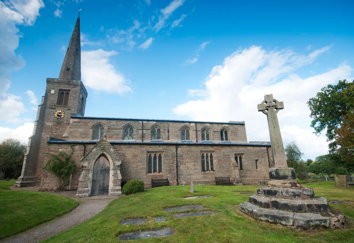
Church of St Michael and All Angels, Hamstall Ridware
Church of St Michael and All Angels, Hamstall Ridware — church in Hamstall Ridware, Staffordshire, England, UK.
 📷 5
📷 5Historic churches · West Midlands
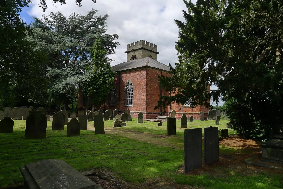
Church of St Nicholas, Mavesyn Ridware
Church of St Nicholas, Mavesyn Ridware — church in Mavesyn Ridware, Staffordshire, England, UK.
Frequently asked questions
- Where is Churchyard cross 40m north west of St Mary's Church?
- Churchyard cross 40m north west of St Mary's Church is in Worcestershire, the West Midlands, United Kingdom (postcode WR10 3PD), in the parish of Wick.
- What is Churchyard cross 40m north west of St Mary's Church?
- Churchyard cross 40m north west of St Mary's Church — a Grade II-listed church in england-west-midlands, United Kingdom.
- How do I get to Churchyard cross 40m north west of St Mary's Church?
- The nearest railway station is Pershore, about 3.0 km away. The nearest town is Wyre Piddle. Drivers can use postcode WR10 3PD.
- Is Churchyard cross 40m north west of St Mary's Church a listed building?
- Churchyard cross 40m north west of St Mary's Church is officially recognised as Grade II listed.
- Is Churchyard cross 40m north west of St Mary's Church a protected site?
- Yes — Churchyard cross 40m north west of St Mary's Church is part of the Cotswolds National Landscape (AONB).
- Is Churchyard cross 40m north west of St Mary's Church free to visit?
- Yes, Churchyard cross 40m north west of St Mary's Church is free to enter.
- How do I get to Churchyard cross 40m north west of St Mary's Church?
- The nearest railway station is Pershore, about 3.0 km away. Drivers can navigate to postcode WR10 3PD.