
Historic churches · South East England
Church of the Transfiguration, Pyecombe
In or near Hassocks.
Church of the Transfiguration, Pyecombe — Grade I listed building-listed church in england-south-east, United Kingdom.

Basher Eyre — CC BY-SA 2.0 via Wikimedia Commons licence

Plan your visit
- Typical visit
- 30 min–1 h
- Nearest railway station
- Hassocks · 3.2 km
- Free entry
Getting there & planning your visit
To visit the Church of the Transfiguration in Pyecombe, you can take a train to Hassocks station, which is 3.2 km away. The postcode for the church is BN45 7FR, and entry is free.
About
Church of the Transfiguration, Pyecombe is a Grade I listed building-listed church in england-south-east, United Kingdom, registered on the National Heritage List for England (NHLE entry 1025593). Listed status protects buildings and structures of special architectural or historic interest. See the linked Wikipedia article for further details.
Photo gallery
360° viewimagery from 2021
Imagery © Mapillary contributors, CC BY-SA 4.0
Heritage listing
The Church of the Transfiguration is the Church of England parish church of the village of Pyecombe, in the Mid Sussex District of West Sussex, England. The mostly 12th- and 13th-century building, in an isolated setting facing the South Downs, has been designated a Grade I Listed building.
From the Historic England List Entry under OGL v3.
Protected designations
- Area of Outstanding Natural Beauty: High Weald
Designations sourced from Natural England open data under OGL v3.
From the Wikipedia article
The Church of the Transfiguration is the Church of England parish church of the village of Pyecombe, in the Mid Sussex District of West Sussex, England. The mostly 12th- and 13th-century building, in an isolated setting facing the South Downs, has been designated a Grade I Listed building.
Excerpt from Wikipedia under CC BY-SA 4.0. See the source article linked in Sources below.
Background
History
The small village of Pyecombe is situated in a long, deep valley (or coombe) formed by the river Wellesbourne as it flows towards the English Channel at Brighton. (The river is now a winterbourne and runs underground for most of its length.) The South Downs rise to about 700 ft to the east and west. The village is in two parts about 0.25 mi apart. The original medieval settlement formed around the church and an ancient trackway across the South Downs; when this declined, new development took place to the west. A 16th-century cottage which may have been part of the manor house is in this newer area. a date of 1170 has been attributed. The Norman tower at the west end was built in the 13th…
Architecture
The church is aligned from east to west with its chancel and altar at the east end. It consists of a 12th-century chancel and plain, semicircular chancel arch; a nave of the same age, with two rectangular windows on each side; and a short tower from the 13th century, with two angled buttresses at the southwestern and northwestern corners. The former has a 13th-century gravestone incorporated into the stonework, but the buttresses are no earlier than 14th-century. On the north side is an entrance porch and a vestry. This was hidden under the roughcasting for about a century, but has now been revealed again. There are modern stone dressings around the windows. Some of the windows themselves…
Description
The Church of the Transfiguration is part of the Benefice of Poynings with Edburton, Newtimber and Pyecombe. This covers five downland villages, each with one church: the others are St Andrew's Church at Edburton, Holy Trinity Church at Poynings and St John the Evangelist's Church in Newtimber. The former church of the Good Shepherd at Fulking is no longer in use but is nominally part of the Benefice. The parish itself covers Pyecombe village and the surrounding farms and downland, as far south as the Brighton and Hove boundary and north to Clayton. The church was Grade I listed on 28 October 1957. Two services take place each month, and Pyecombe Parish Council holds its meetings in the…
Sourced from Wikipedia under CC BY-SA 4.0.
- Coordinates
- 50.8983, -0.1644
- County
- West Sussex
- District
- Mid Sussex
- Parish
- Pyecombe
- Postcode
- BN45 7FR
- Parliamentary constituency
- Mid Sussex
- Established
- 1101
- Nearest railway station
- Hassocks — 3.2 km
Sources
- wikidata: Q5118055 (CC0)
- wikipedia: Church of the Transfiguration, Pyecombe (CC BY-SA 4.0)
Other places nearby
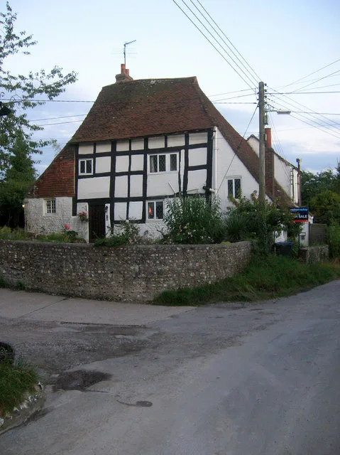
Pyecombe Manor
Stately homes · 0.8 km

Jill Windmill
Windmills · 1.4 km

Clayton Windmills
Windmills · 1.4 km

Wolstonbury
Archaeological sites · 1.4 km

Romano-British farmstead, field system and trackway on Wolstonbury Hill
Archaeological sites · 1.4 km

Jack Windmill
Windmills · 1.4 km
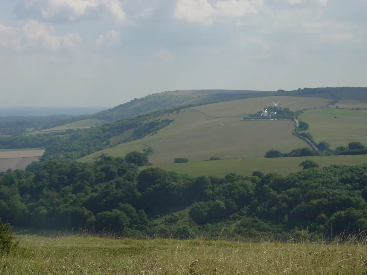
Wolstonbury Hill
Mountains & hills · 1.5 km

West Hill
Mountains & hills · 1.5 km
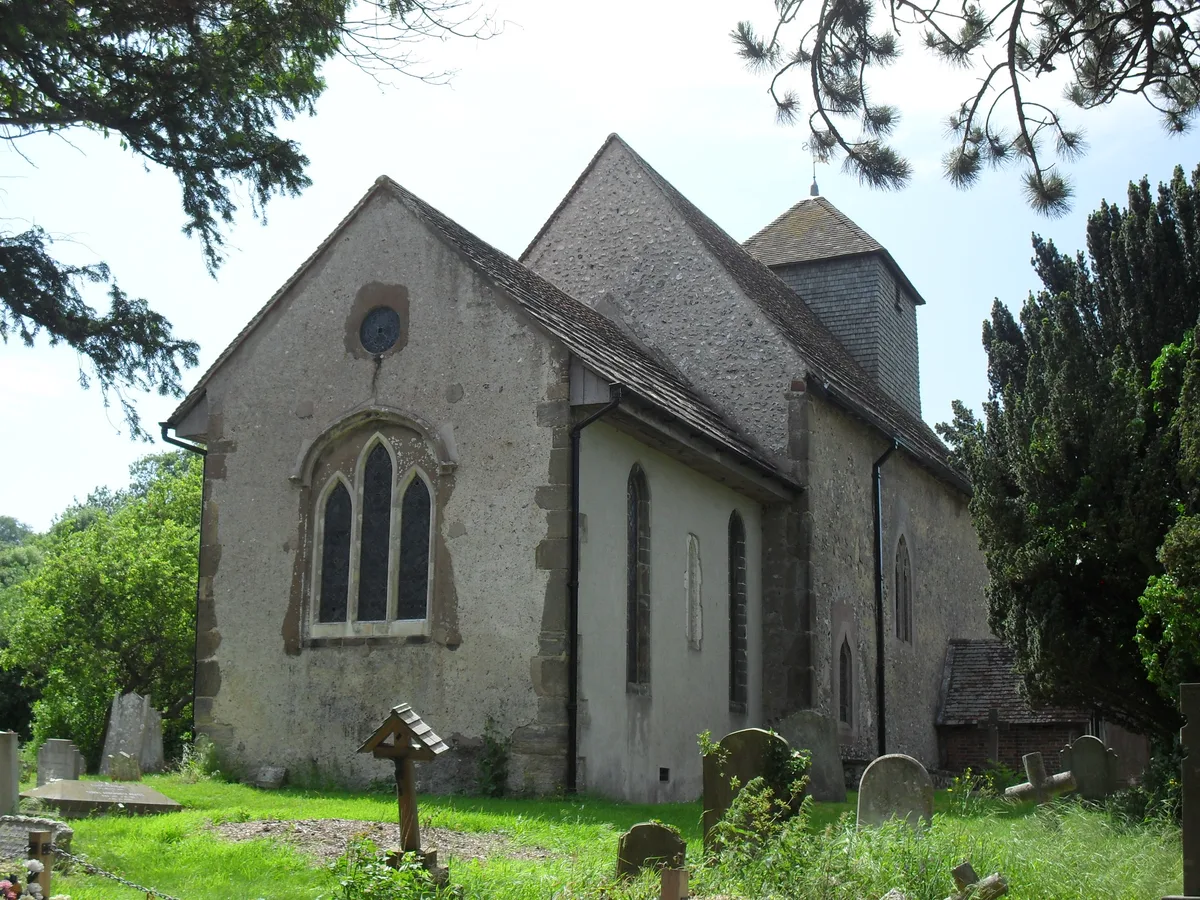
St John the Baptist's Church, Clayton
Historic churches · 1.6 km
West Hill
Mountains & hills · 1.6 km

Clayton, West Sussex
Museums · 1.6 km

Clayton
Villages · 1.6 km
Nearby
Flagship📷 5Stately homes · South East England
Pyecombe Manor
Pyecombe Manor — manor house in Pyecombe, Mid Sussex, England, UK.
📷 5📷 5Windmills · South East England
Clayton Windmills
The Clayton Windmills, known locally as Jack and Jill, stand on the South Downs above the village of Clayton, West Sussex, England. They comprise a post mill and a tower mill, and the roundhouse of a
📷 5Archaeological sites · South East England
Wolstonbury
Wolstonbury — hillfort in West Sussex, England, UK.
📷 5Archaeological sites · South East England
Romano-British farmstead, field system and trackway on Wolstonbury Hill
Romano-British farmstead, field system and trackway on Wolstonbury Hill — archaeological site in Pyecombe, Mid Sussex, England, UK.
📷 5Where to eat & stay near Church of the Transfiguration, Pyecombe
Places to stay
 📷 5
📷 5Campsites · South East England
Saddlescombe Campsite
Saddlescombe Campsite — a campsite in england south east.
 📷 5
📷 5Campsites · South East England
Southdown Way Caravan & Camping Park
Southdown Way Caravan & Camping Park — a campsite in england south east.
 📷 5
📷 5 📷 5
📷 5 📷 5
📷 5Campsites · South East England
Blackberry Wood (Meadow Campsite)
Blackberry Wood (Meadow Campsite) — a campsite in england south east.
 📷 5
📷 5Campsites · South East England
Blackberry Woods
Blackberry Woods — a campsite in england south east.
Places to eat & drink
.jpg?width=1200) 📷 5
📷 5Historic pubs · South East England
Hangleton Manor
Hangleton Manor — Historic pub — listed building or notable heritage status.
 📷 5
📷 5Historic pubs · South East England
The Half Moon Inn
The Half Moon Inn in England South East, United Kingdom.
 📷 5
📷 5Historic pubs · South East England
The Stags Head Public House
The Stags Head Public House in England South East, United Kingdom.
 📷 5
📷 5Cafés · South East England
Cowley Club Café
Cowley Club Café — a café in england south east.
 📷 5
📷 5Historic pubs · South East England
Kissing Coppers
Kissing Coppers — Public artwork (graffiti) by Banksy.
 📷 5
📷 5Historic pubs · South East England
Freemasons Tavern
Freemasons Tavern in England South East, United Kingdom.
More places in this region
 📷 5
📷 5Historic churches · South East England
All Saints Church, Frindsbury
All Saints Church, Frindsbury — church in Medway, UK.
 📷 5
📷 5Historic churches · South East England
All Saints Church, Maidstone
All Saints Church, Maidstone — parish church associated with the Archbishop's Palace, Maidstone, Kent, England, UK.
 📷 5
📷 5Historic churches · South East England
All Saints Church, West Farleigh
All Saints Church, West Farleigh — Grade I listed church in West Farleigh, Maidstone, Kent, England, UK.
 📷 5
📷 5Historic churches · South East England
All Souls' Church, Sutton Green
All Souls' Church, Sutton Green — church in Guildford, England.
Frequently asked questions
- Where is Church of the Transfiguration, Pyecombe?
- Church of the Transfiguration, Pyecombe is in West Sussex, South-East England, United Kingdom (postcode BN45 7FR), in the parish of Pyecombe.
- What is Church of the Transfiguration, Pyecombe?
- Church of the Transfiguration, Pyecombe — Grade I listed building-listed church in england-south-east, United Kingdom.
- How do I get to Church of the Transfiguration, Pyecombe?
- The nearest railway station is Hassocks, about 3.2 km away. The nearest town is Hassocks. Drivers can use postcode BN45 7FR.
- When was Church of the Transfiguration, Pyecombe built?
- Built or established in 1101.
- Is Church of the Transfiguration, Pyecombe a listed building?
- Church of the Transfiguration, Pyecombe is officially recognised as Grade I listed building listed.
- Is Church of the Transfiguration, Pyecombe a protected site?
- Yes — Church of the Transfiguration, Pyecombe is part of the High Weald National Landscape (AONB).
- Is Church of the Transfiguration, Pyecombe free to visit?
- Yes, Church of the Transfiguration, Pyecombe is free to enter.
- How do I get to Church of the Transfiguration, Pyecombe?
- The nearest railway station is Hassocks, about 3.2 km away. Drivers can navigate to postcode BN45 7FR.