
Historic churches · Yorkshire & the Humber
Church of St Thomas, Thurstonland
In or near Kirkheaton.
Church of St Thomas, Thurstonland — Grade II listed church in the village of Thurstonland, in the parish of Kirkburton, Kirklees, West Yorkshire, England, UK.

Wikimedia Commons contributors — see linked file page for photographer and licence licence

Plan your visit
- Typical visit
- 30 min–1 h
- Nearest railway station
- Brockholes · 1.3 km
- Free entry
Getting there & planning your visit
The Church of St Thomas in Thurstonland is located at postcode HD4 6XD, and the nearest railway station is Brockholes, which is 1.3 km away. Entry to the church is free.
About
Church of St Thomas, Thurstonland is a historic church in the United Kingdom. Records date its origin to 1870. Built in the Gothic Revival style. Heritage designation: Grade II listed building. Affiliated with Anglicanism. Wikidata describes it as: "Grade II listed church in the village of Thurstonland, in the parish of Kirkburton, Kirklees, West Yorkshire, England, UK". Coordinates: 53.5932°, -1.7506°.
Photo gallery
Heritage listing
The Church of St Thomas, Thurstonland, West Yorkshire, England, is an Anglican church. It is an Arts and Crafts building in Gothic Revival style, designed by James Mallinson and William Swinden Barber, and completed in 1870. The building was funded by William Legge, 5th Earl of Dartmouth, and it was consecrated by Robert Bickersteth, Bishop of Ripon. The total height of the tower and spire is 109 feet (33 m), and the nave contains an arch-braced hammerbeam roof. The first incumbent of the parish to use this building was Rev.
From the Historic England List Entry under OGL v3.
Official information
St Thomas Parish Church in Thurstonland is a place of worship that hosts regular services including baptisms, weddings, and funerals. The church is open for community gatherings and spiritual reflection.
Protected designations
- Site of Special Scientific Interest: Dark Peak SSSI
Designations sourced from Natural England open data under OGL v3.
From the Wikipedia article
The Church of St Thomas, Thurstonland, West Yorkshire, England, is an Anglican church. It is an Arts and Crafts building in Gothic Revival style, designed by James Mallinson and William Swinden Barber, and completed in 1870. The building was funded by William Legge, 5th Earl of Dartmouth, and it was consecrated by Robert Bickersteth, Bishop of Ripon. The total height of the tower and spire is 109 feet (33 m), and the nave contains an arch-braced hammerbeam roof. The first incumbent of the parish to use this building was Rev. Robert Boyle Thompson, an evangelical missionary who had already done "great work" in the slums of Seven Dials when he was granted the living of Thurstonland at the age of 28 years.
Excerpt from Wikipedia under CC BY-SA 4.0. See the source article linked in Sources below.
Background
History
By 1869 three new churches had already been built in the Kirkburton parish due to the efforts of its vicar Rev. Richard Collins (1794–1882), but there was still just an inadequate chapel-room in Thurstonland. This was originally a dissenters' chapel built in 1810 and used as a chapel of ease for Kirkburton from 1834 to 1870. Around 1850 there was an unsuccessful local attempt to raise funds for a new church; a second attempt in 1867–1868 came to fruition. The scattered population of this village, which was soon to become a parish in its own right, consisted of about 1,200 persons of "limited means", engaged in agricultural and manufacturing trades, so the congregation could not fund a new…
Architecture
It is a Grade II listed building situated in Marsh Hall Lane, Thurstonland, Huddersfield, West Yorkshire. It is set in a Conservation Area.
Sourced from Wikipedia under CC BY-SA 4.0.
- Coordinates
- 53.5932, -1.7506
- District
- Kirklees
- Parish
- Kirkburton
- Postcode
- HD4 6XD
- Parliamentary constituency
- Ossett and Denby Dale
- Phone
- (01484) 683375
- Established
- 1870
- Nearest railway station
- Brockholes — 1.3 km
- Official site
- www.achurchnearyou.com
Sources
- wikidata: Q16972553 (CC0)
- wikipedia: Church of St Thomas, Thurstonland (CC BY-SA 4.0)
- commons: St Thomas Church Thurstonland - geograph.org.uk - 694635.jpg (CC BY-SA 4.0)
Other places nearby

Haw Cliff
Mountains & hills · 0.8 km

Brockholes War Memorial
Memorials & monuments · 1.3 km

Holme Valley Camping & Caravan Park
Campsites · 1.4 km

Mytholm Bridge
Historic bridges · 1.4 km

Bridge Over River Holme At Smithy Place
Historic bridges · 1.6 km

Farnley Tyas
Villages · 2.0 km

Thunder Bridge
Historic bridges · 2.3 km

Shepley
Villages · 2.5 km

Dual Slalom
Mountain bike trails · 2.6 km
_(geograph_4797191).jpg?width=1200)
Holmfirth War Memorial
Memorials & monuments · 2.7 km

Southgate Theatre
Theatres · 2.8 km
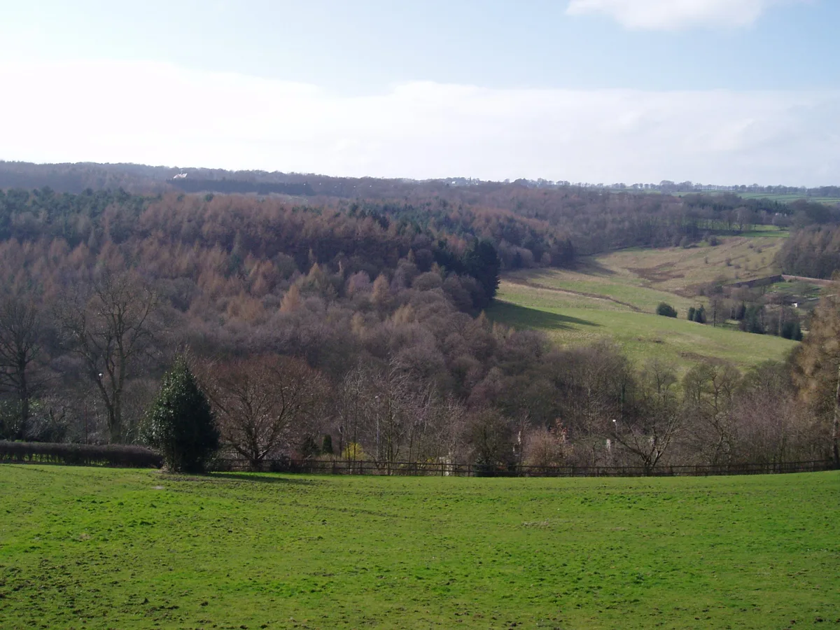
Myers Wood
Archaeological sites · 2.8 km
Nearby
📷 5Mountains & hills · Yorkshire & the Humber
Haw Cliff
Haw Cliff — a hill or mountain in england yorkshire.
📷 3Memorials & monuments · Yorkshire & the Humber
Brockholes War Memorial
Brockholes War Memorial — Grade II listed building-listed memorial in england-yorkshire, United Kingdom.
📷 5Campsites · Yorkshire & the Humber
Holme Valley Camping & Caravan Park
Holme Valley Camping & Caravan Park — a campsite in england yorkshire.
📷 3Historic bridges · Yorkshire & the Humber
Mytholm Bridge
Mytholm Bridge — Grade II listed building-listed bridge in england-yorkshire, United Kingdom.
📷 3Historic bridges · Yorkshire & the Humber
Bridge Over River Holme At Smithy Place
Bridge Over River Holme At Smithy Place — Grade II listed building-listed bridge in england-yorkshire, United Kingdom.
📷 5Where to eat & stay near Church of St Thomas, Thurstonland
Places to stay
📷 5Campsites · Yorkshire & the Humber
Holme Valley Camping & Caravan Park
Holme Valley Camping & Caravan Park — a campsite in england yorkshire.
 📷 5
📷 5Campsites · Yorkshire & the Humber
Rising Sun Farm Campsite
Rising Sun Farm Campsite — a campsite in england yorkshire.
 📷 5
📷 5Hotels · Yorkshire & the Humber
315 Bar and Restaurant
315 Bar and Restaurant — a hotel in england yorkshire.
 📷 5
📷 5Caravan parks · Yorkshire & the Humber
Whitegate Leisure Camping & Caravan Site
Whitegate Leisure Camping & Caravan Site — a caravan park in england yorkshire.
 📷 5
📷 5Campsites · Yorkshire & the Humber
Thurlmoor Farm Camping & Caravan Site
Thurlmoor Farm Camping & Caravan Site — a campsite in england yorkshire.
 📷 5
📷 5Campsites · Yorkshire & the Humber
Ingfield Farm Caravan Site
Ingfield Farm Caravan Site — a campsite in england yorkshire.
Places to eat & drink
 📷 5
📷 5Historic pubs · Yorkshire & the Humber
The College Arms
The College Arms in England Yorkshire, United Kingdom.
 📷 5
📷 5Restaurants · Yorkshire & the Humber
Cinnamon Lounge
Cinnamon Lounge — a restaurant in england yorkshire.
 📷 5
📷 5Historic pubs · Yorkshire & the Humber
The Plumbers Arms
The Plumbers Arms in England Yorkshire, United Kingdom.
 📷 7
📷 7Historic pubs · Yorkshire & the Humber
The White Swan Public House
The White Swan Public House in England Yorkshire, United Kingdom.
 📷 5
📷 5Historic pubs · Yorkshire & the Humber
The Vulcan Public House
The Vulcan Public House in England Yorkshire, United Kingdom.
 📷 5
📷 5Historic pubs · Yorkshire & the Humber
The Beaumont Arms Public House And Adjoining Barns To East
The Beaumont Arms Public House And Adjoining Barns To East in England Yorkshire, United Kingdom.
Other places from this era
 📷 5
📷 5Historic churches · London
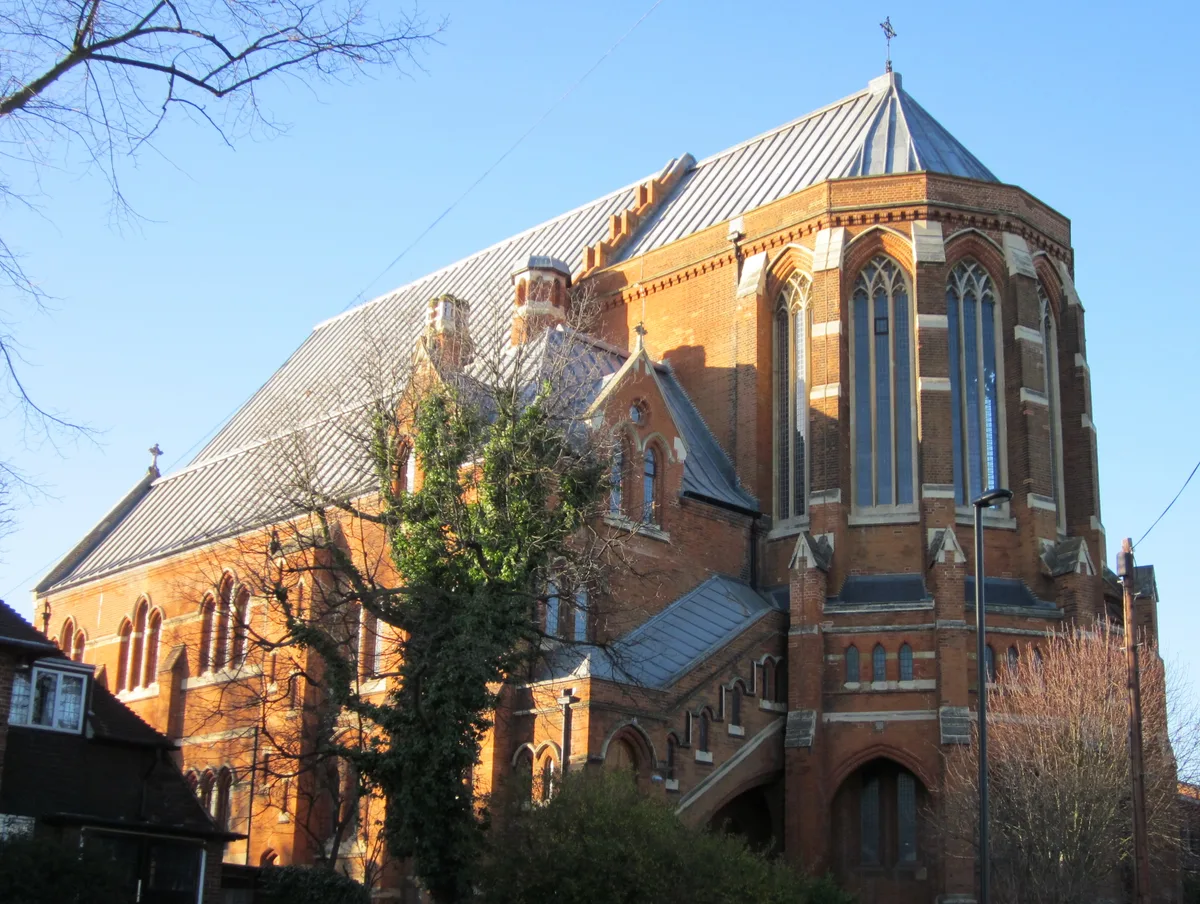
All Saints Church, West Dulwich
All Saints Church, West Dulwich — church in West Dulwich, London.
 📷 5
📷 5Historic churches · London
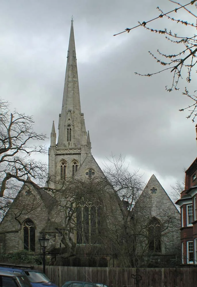
Christ Church
Christ Church — church in Hampstead, London.
 📷 5
📷 5Historic churches · London
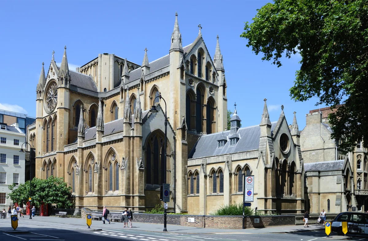
Church of Christ the King, Bloomsbury
Church of Christ the King, Bloomsbury — church in Gordon Square, Bloomsbury, London.
 📷 5
📷 5Historic churches · London
Church of St Barnabas
Church of St Barnabas — church in Pimlico, London.
More places in this region
 📷 5
📷 5Historic churches · Yorkshire & the Humber
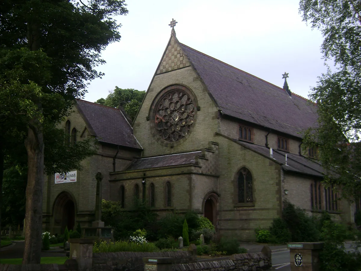
All Saints Church, Marple
All Saints Church, Marple — church in Marple, Greater Manchester, England, UK.
 📷 3
📷 3Historic churches · Yorkshire & the Humber
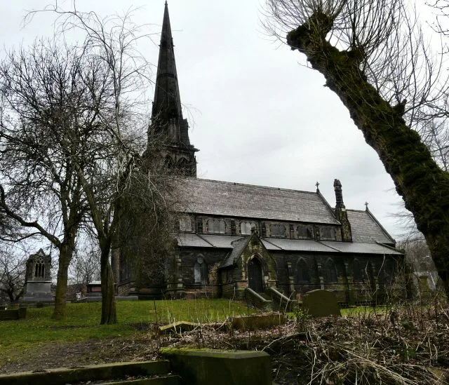
Brookfield Unitarian Church
Brookfield Unitarian Church — church in Manchester, UK.
 📷 5
📷 5Historic churches · Yorkshire & the Humber
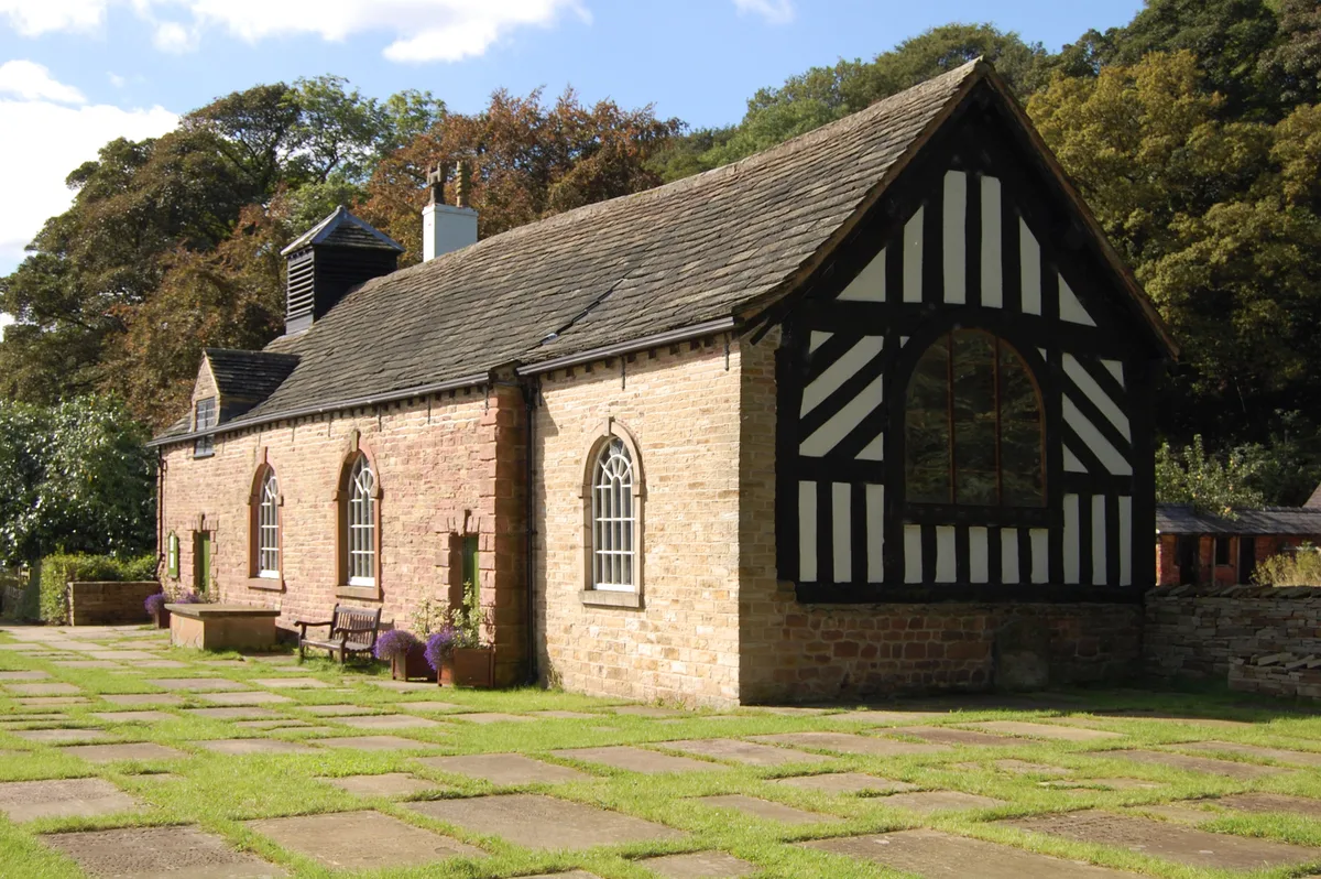
Chadkirk Chapel
Chadkirk Chapel — church and museum in Stockport, United Kingdom.
 📷 3
📷 3Historic churches · Yorkshire & the Humber
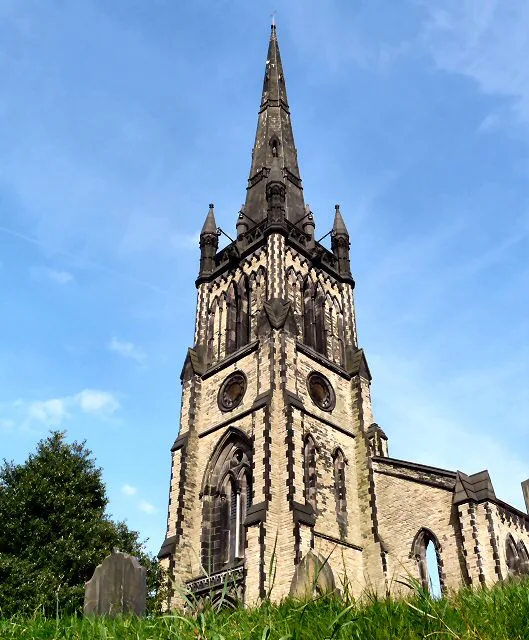
Christ Church, Heaton Norris
Christ Church, Heaton Norris — church in Stockport, UK.
Frequently asked questions
- Where is Church of St Thomas, Thurstonland?
- Church of St Thomas, Thurstonland is in Yorkshire, United Kingdom (postcode HD4 6XD), in the parish of Kirkburton.
- What is Church of St Thomas, Thurstonland?
- Church of St Thomas, Thurstonland — Grade II listed church in the village of Thurstonland, in the parish of Kirkburton, Kirklees, West Yorkshire, England, UK.
- How do I get to Church of St Thomas, Thurstonland?
- The nearest railway station is Brockholes, about 1.3 km away. The nearest town is Kirkheaton. Drivers can use postcode HD4 6XD.
- When was Church of St Thomas, Thurstonland built?
- Built or established in 1870.
- Is Church of St Thomas, Thurstonland a listed building?
- Church of St Thomas, Thurstonland is officially recognised as Grade II listed building listed.
- Is Church of St Thomas, Thurstonland a protected site?
- Yes — Church of St Thomas, Thurstonland is part of the Dark Peak SSSI Site of Special Scientific Interest.
- Is Church of St Thomas, Thurstonland free to visit?
- Yes, Church of St Thomas, Thurstonland is free to enter.
- How do I get to Church of St Thomas, Thurstonland?
- The nearest railway station is Brockholes, about 1.3 km away. Drivers can navigate to postcode HD4 6XD.