
Historic churches · South East England
Church of St Mary, Sellindge
In or near Aldington.
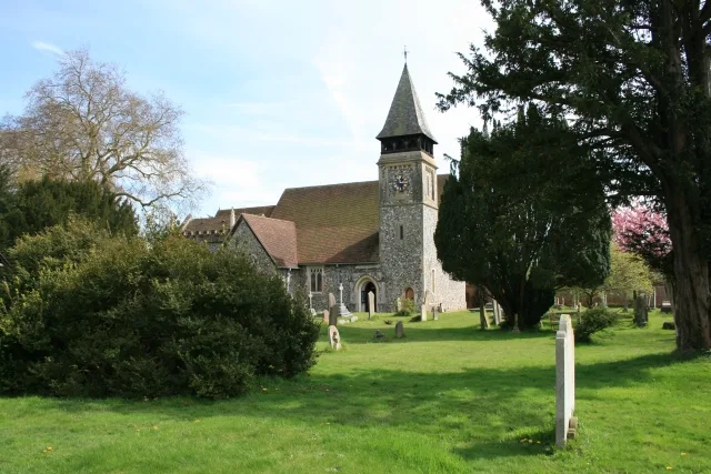
Church of St Mary, Sellindge — Grade I listed church in Sellindge, Kent, England, UK.

Wikimedia Commons contributors — see linked file page for photographer and licence licence

Plan your visit
- Typical visit
- 30 min–1 h
- Nearest railway station
- Westenhanger · 3.6 km
- Free entry
Getting there & planning your visit
The Church of St Mary in Sellindge is located at postcode TN25 6EL. The nearest railway station is Westenhanger, which is 3.6 km away. Entry to the church is free.
About
Church of St Mary, Sellindge is a parish church in South-East England. Built or established in 1050, it dates from the Anglo-Saxon period. Officially recognised as Grade I listed building. The site is within the Kent Downs National Landscape (AONB). The nearest railway station is Westenhanger, about 3.6 km away.
Photo gallery
Heritage listing
Details TR 03 NE SELLINDGE MAIN ROAD (South Side) 2/85 Church of St Mary 29.12.66 GV I Parish church. Late C11, C12 and C13, restored mid-to-late C19. Ragstone, with plain tile roofs. West tower, nave, chancel, continuous north chapel and north aisle, north porch, north vestry to tower. West tower: late C11 or C12. No plinth. Large diagonal south-west buttress. No stages. Pyramidal spire with weathervane. One round-headed louvred belfry light to each of west and north faces, and 2 smaller to east. South belfry window with segmental head. Narrower round-headed light below north belfry light and small lancet to south. 2-light west window with trefoil-headed lights and squared hoodmould. Low west doorway with Segmental head of small even voussoirs springing from chamfered imposts. Nave: probably C11. No plinth. 2 south buttresses. South-east corner with un-dressed quoins. 2 sets of late C18 or early C19 paired rendered red brick lancets to south. Chancel: late C11 or C12 altered in C13. No plinth. Traces of herringbone stonework towards west end of south wall. Scroll-moulded string to east end of south wall, returning to east, and along north wall. 2-light C15 cinque- foiled and traceried south-west window with hoodmould. 2-light south-east window in a similar style. Paired lancets to east. Low C19 priest's doorway to south, with porch. Rainwater head dated 1876. North Chapel: later C13. Battered plinth. Gabled. Pointed-arched east window of 3 stepped cinquefoil- headed lights. 2 north windows; one of 2 conjoined trefoil-headed lights, and one C15, similar to south-west chancel window. North aisle: C13. No plinth. Late C18 or early C19 paired rendered lancets. North porch: gabled. No windows. Pointed-arched hollow-chamfered outer doorway and similar, restored, inner doorwa
From the Historic England List Entry under OGL v3.
Protected designations
- Area of Outstanding Natural Beauty: Kent Downs
Designations sourced from Natural England open data under OGL v3.
Place summary
The Church of St Mary, located in Sellindge, South-East England, is an Anglo-Saxon church established in 1050. It is designated as a Grade I listed building, reflecting its architectural significance. The church is situated within the Kent Downs Area of Outstanding Natural Beauty.
AI-generated from the structured facts on this page (operator, designation, listing, era). Not a substitute for visiting.
- Coordinates
- 51.1071, 0.9897
- County
- Kent
- District
- Folkestone and Hythe
- Parish
- Sellindge
- Postcode
- TN25 6EL
- Parliamentary constituency
- Ashford
- Established
- 1050
- Nearest railway station
- Westenhanger — 3.6 km
Sources
- wikidata: Q17529926 (CC0)
- commons: St. Mary's church, Sellindge - geograph.org.uk - 413720.jpg (CC BY-SA 4.0)
Other places nearby

The Little Lighthouse
Galleries · 1.1 km

Sellindge
Villages · 1.2 km

Lodge House
Historic houses · 1.5 km

Smeeth War Memorial
Memorials & monuments · 2.4 km

Smeeth
Villages · 2.5 km

Otterpool Manor
Manor houses · 2.5 km

Evegate Manor
Manor houses · 2.6 km
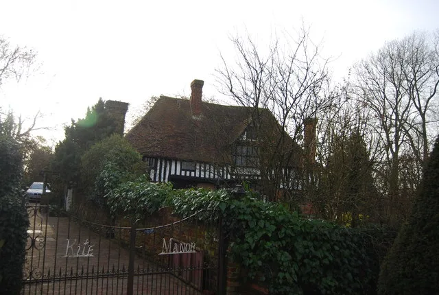
Kite Manor
Stately homes · 2.6 km

Hayton Manor
Manor houses · 3.0 km
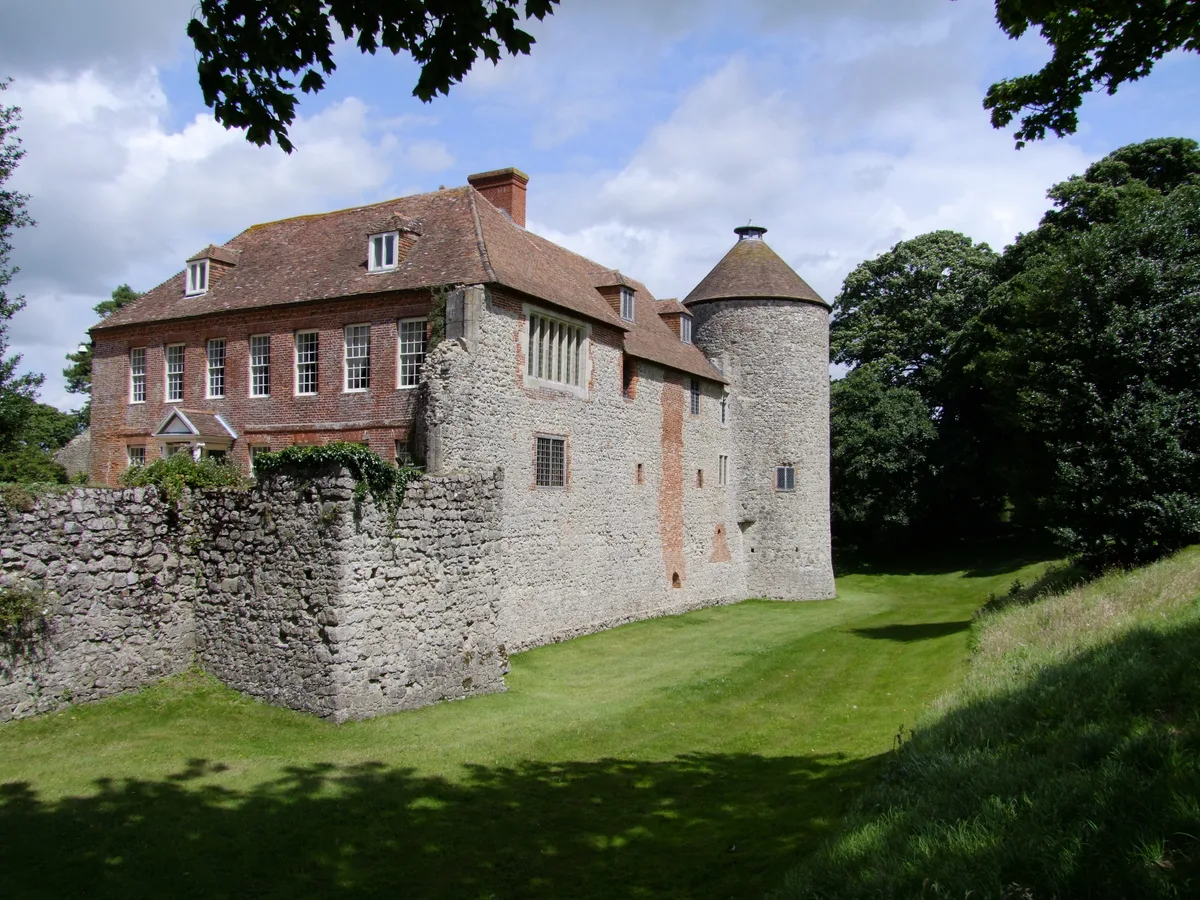
Westenhanger Castle
Stately homes · 3.2 km

Westenhanger
Castles · 3.4 km

Stanford Windmill
Windmills · 3.5 km
Nearby
📷 5Galleries · South East England
The Little Lighthouse
The Little Lighthouse — a gallery in england-south-east, United Kingdom.
📷 5📷 5Historic houses · South East England
Lodge House
Lodge House — house in Smeeth, Ashford, England, UK.
📷 5Memorials & monuments · South East England
Smeeth War Memorial
Smeeth War Memorial — Grade II listed building-listed memorial in england-south-east, United Kingdom.
📷 5📷 5Manor houses · South East England
Otterpool Manor
Otterpool Manor — Grade II listed building-listed manor in england-south-east, United Kingdom.
Where to eat & stay near Church of St Mary, Sellindge
Places to stay
 📷 5
📷 5 📷 5
📷 5Hotels · South East England
Port Lympne Mansion
Port Lympne Mansion — a hotel in england south east.
 📷 5
📷 5Caravan parks · South East England
The Spinney Caravan Club
The Spinney Caravan Club — a caravan park in england south east.
 📷 5
📷 5Campsites · South East England
Daleacres
Daleacres — a campsite in england south east.
 📷 5
📷 5Campsites · South East England
Fallow Fields Camping (Lathe Barn)
Fallow Fields Camping (Lathe Barn) — a campsite in england south east.
 📷 5
📷 5Places to eat & drink
 📷 5
📷 5Historic pubs · South East England
The Five Bells
The Five Bells in England South East, United Kingdom.
 📷 5
📷 5Historic pubs · South East England
Walnut Tree Inn
Walnut Tree Inn in England South East, United Kingdom.
 📷 5
📷 5Historic pubs · South East England
The Farriers Arms
The Farriers Arms in England South East, United Kingdom.
 📷 5
📷 5 📷 5
📷 5Historic pubs · South East England
The Blacksmith's Arms Public House
The Blacksmith's Arms Public House in England South East, United Kingdom.
 📷 5
📷 5Historic pubs · South East England
The William Harvey Public House
The William Harvey Public House in England South East, United Kingdom.
Other places from this era
 📷 5
📷 5Historic churches · London
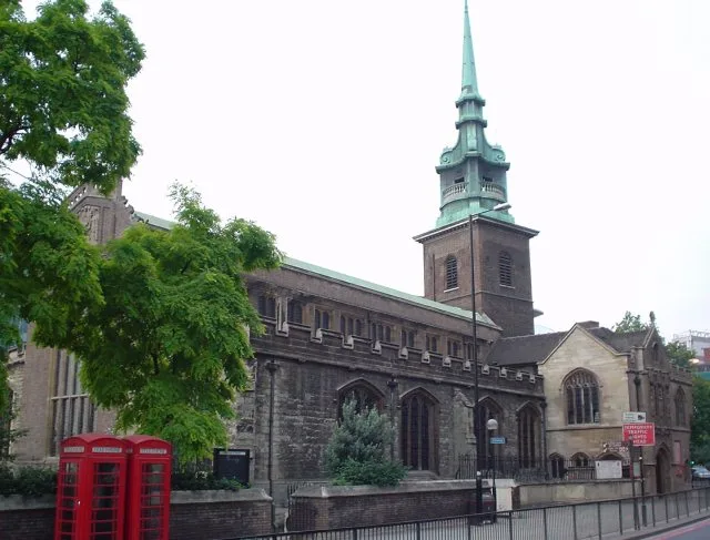
All Hallows-by-the-Tower
All Hallows-by-the-Tower — church in the City of London, United Kingdom.
 📷 5
📷 5Historic churches · London
Church of St Bartholomew
Church of St Bartholomew — church in Otford, Kent, England, UK.
 📷 5
📷 5Historic churches · London
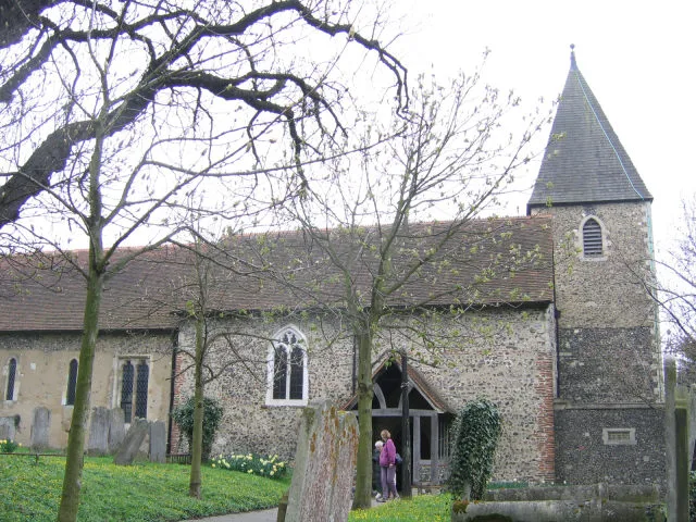
Church of St Margaret of Antioch, Darenth
Church of St Margaret of Antioch, Darenth — Grade I listed church in Darenth, Dartford, Kent, England, UK.
 📷 5
📷 5Historic churches · London
Church of St Mary, Stoke d'Abernon
Church of St Mary, Stoke d'Abernon — church in Stoke d'Abernon, Surrey, England, UK.
More places in this region
 📷 5
📷 5Historic churches · South East England
All Saints Church, Frindsbury
All Saints Church, Frindsbury — church in Medway, UK.
 📷 5
📷 5Historic churches · South East England
All Saints Church, Maidstone
All Saints Church, Maidstone — parish church associated with the Archbishop's Palace, Maidstone, Kent, England, UK.
 📷 5
📷 5Historic churches · South East England
All Saints Church, West Farleigh
All Saints Church, West Farleigh — Grade I listed church in West Farleigh, Maidstone, Kent, England, UK.
 📷 5
📷 5Historic churches · South East England
All Souls' Church, Sutton Green
All Souls' Church, Sutton Green — church in Guildford, England.
Frequently asked questions
- Where is Church of St Mary, Sellindge?
- Church of St Mary, Sellindge is in Kent, South-East England, United Kingdom (postcode TN25 6EL), in the parish of Sellindge.
- What is Church of St Mary, Sellindge?
- Church of St Mary, Sellindge — Grade I listed church in Sellindge, Kent, England, UK.
- How do I get to Church of St Mary, Sellindge?
- The nearest railway station is Westenhanger, about 3.6 km away. The nearest town is Aldington. Drivers can use postcode TN25 6EL.
- When was Church of St Mary, Sellindge built?
- Built or established in 1050.
- Is Church of St Mary, Sellindge a listed building?
- Church of St Mary, Sellindge is officially recognised as Grade I listed building listed.
- Is Church of St Mary, Sellindge a protected site?
- Yes — Church of St Mary, Sellindge is part of the Kent Downs National Landscape (AONB).
- Is Church of St Mary, Sellindge free to visit?
- Yes, Church of St Mary, Sellindge is free to enter.
- How do I get to Church of St Mary, Sellindge?
- The nearest railway station is Westenhanger, about 3.6 km away. Drivers can navigate to postcode TN25 6EL.