
Historic churches · South West England
Church of St John the Baptist, Axbridge
In or near Axbridge.
Church of St John the Baptist, Axbridge — Grade I listed building-listed church in england-south-west, United Kingdom.

Neil Owen — CC BY-SA 2.0 via Wikimedia Commons licence

Plan your visit
- Typical visit
- 30 min–1 h
- Nearest railway station
- Puxton Park · 9.0 km
- Free entry
Getting there & planning your visit
The Church of St John the Baptist in Axbridge is located at postcode BS26 2BW. The nearest railway station is Puxton Park, which is 9 km away. Entry to the church is free.
About
Church of St John the Baptist, Axbridge is a Grade I listed building-listed church in england-south-west, United Kingdom, registered on the National Heritage List for England (NHLE entry 1173117). Listed status protects buildings and structures of special architectural or historic interest. See the linked Wikipedia article for further details.
Photo gallery
Heritage listing
The Church of St John the Baptist in Axbridge, Somerset, England, was built in the 13th century and has been designated as a grade I listed building. Work on the current building began in the early 15th century, and grew from an earlier building dating back to about 1230. The church is built of limestone and decorated with Doulting stone, while the steps are an interesting example of dolomitic conglomerate, which is called puddingstone. The crossing tower, which was built around 1400, is over 100 feet (30 m) high, and holds six bells, one of which dating from 1723 was made by Edward Bilbie of the Bilbie family. The statue on the east side is that of St John the Baptist. On the west side is a king — perhaps Henry VII, which would place it after 1485.
From the Historic England List Entry under OGL v3.
Protected designations
- National Nature Reserve: MENDIP
- Area of Outstanding Natural Beauty: Mendip Hills
- Ramsar wetland: Severn Estuary
Designations sourced from Natural England open data under OGL v3.
From the Wikipedia article
The Church of St John the Baptist in Axbridge, Somerset, England, was built in the 13th century and has been designated as a grade I listed building. Work on the current building began in the early 15th century, and grew from an earlier building dating back to about 1230. The church is built of limestone and decorated with Doulting stone, while the steps are an interesting example of dolomitic conglomerate, which is called puddingstone. The crossing tower, which was built around 1400, is over 100 feet (30 m) high, and holds six bells, one of which dating from 1723 was made by Edward Bilbie of the Bilbie family. The statue on the east side is that of St John the Baptist. On the west side is a king — perhaps Henry VII, which would place it after 1485. The North aisle ceiling retains some mediaeval painted panels, and amongst the carved bosses is the head of a Green Man, with leaves sprouting around his face. The nave roof is Jacobean and dates from 1636. The church was restored by John Dando Sedding in the 1880s. The churchyard contains a Commonwealth war grave of a Dorsetshire Regiment soldier of World War II.
Excerpt from Wikipedia under CC BY-SA 4.0. See the source article linked in Sources below.
- Coordinates
- 51.2877, -2.8166
- District
- Somerset
- Parish
- Axbridge
- Postcode
- BS26 2BW
- Parliamentary constituency
- Wells and Mendip Hills
- Established
- 1400
- Nearest railway station
- Puxton Park — 9 km
- Official site
- www.nationaltrust.org.uk
Sources
- wikidata: Q5117441 (CC0)
- wikipedia: Church of St John the Baptist, Axbridge (CC BY-SA 4.0)
Other places nearby

Axbridge War Memorial
Memorials & monuments · 0.0 km

The Old Angel
Historic houses · 0.1 km

The Lamb Inn
Hotels · 0.1 km

King John's Hunting Lodge;King John's Hunting Lodge (Axbridge Museum)
Museums · 0.1 km

Axbridge
Towns & cities · 0.1 km
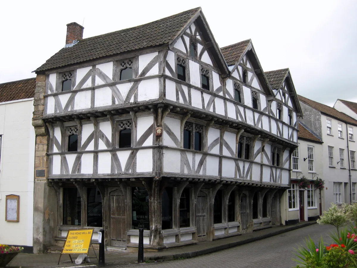
King John's Hunting Lodge
Historic houses · 0.1 km

Old Manor House
Historic houses · 0.1 km

The Axbridge Lion
Theatres · 0.2 km

Shute Shelve Hill
Mountains & hills · 1.0 km

Carcass Cave
Caves · 1.0 km

Shute Shelve Cavern
Caves · 1.1 km

Old Manor House B&B
B&Bs · 1.2 km
Nearby
📷 3Memorials & monuments · South West England
Axbridge War Memorial
Axbridge War Memorial — Grade II listed building-listed memorial in england-south-west, United Kingdom.
📷 3Historic houses · South West England
The Old Angel
The Old Angel — Grade II listed former public house in Axbridge, Sedgemoor, England, UK.
📷 7Hotels · South West England
The Lamb Inn
The Lamb Inn — a hotel in england south west.
📷 3Museums · South West England
King John's Hunting Lodge;King John's Hunting Lodge (Axbridge Museum)
King John's Hunting Lodge;King John's Hunting Lodge (Axbridge Museum) — a museum in england-south-west, United Kingdom.
📷 5Towns & cities · South West England
Axbridge
Axbridge — town in Somerset, England.
📷 5Historic houses · South West England
King John's Hunting Lodge
King John's Hunting Lodge — museum in Axbridge, Somerset, England, UK.
Where to eat & stay near Church of St John the Baptist, Axbridge
Places to stay
📷 7Hotels · South West England
The Lamb Inn
The Lamb Inn — a hotel in england south west.
📷 7B&Bs · South West England
Old Manor House B&B
Old Manor House B&B — a bed-and-breakfast in england south west.
 📷 5
📷 5Caravan parks · South West England
Cheddar Woods Resort & Spa
Cheddar Woods Resort & Spa — a caravan park in england south west.
 📷 5
📷 5Campsites · South Wales
Netherdale Caravan & Camping Site
Netherdale Caravan & Camping Site — a campsite in wales south.
 📷 5
📷 5Hostels · South West England
YHA Cheddar Youth Hostel
YHA Cheddar Youth Hostel — a hostel in england south west. Brand: Youth Hostels Association.
 📷 5
📷 5Campsites · South West England
Watersmeet farm campsite
Watersmeet farm campsite — a campsite in england south west.
Places to eat & drink
 📷 5
📷 5 📷 5
📷 5 📷 7
📷 7 📷 5
📷 5Restaurants · South Wales
Muffins Tea Room & Brasserie
Muffins Tea Room & Brasserie — a restaurant in wales south.
 📷 5
📷 5Restaurants · South Wales
The Pavilion
The Pavilion — a restaurant in wales south.
 📷 5
📷 5More places in this region
 📷 5
📷 5Historic churches · South West England
Abbey Church of St Gregory the Great, Downside Abbey
Abbey Church of St Gregory the Great, Downside Abbey — church in Stratton-on-the-Fosse, Somerset, England, UK.
 📷 5
📷 5Historic churches · South West England
All Saints Church
All Saints Church — Grade I listed church in Woolley, Somerset, England, UK.
 📷 5
📷 5Historic churches · South West England
All Saints Church, Hampreston
All Saints Church, Hampreston — church in Hampreston, Dorset, England, UK.
 📷 5
📷 5Historic churches · South West England
All Saints Church, Nether Cerne
All Saints Church, Nether Cerne — church in Nether Cerne, Dorset, England, UK.
Frequently asked questions
- Where is Church of St John the Baptist, Axbridge?
- Church of St John the Baptist, Axbridge is in South-West England, United Kingdom (postcode BS26 2BW), in the parish of Axbridge.
- What is Church of St John the Baptist, Axbridge?
- Church of St John the Baptist, Axbridge — Grade I listed building-listed church in england-south-west, United Kingdom.
- How do I get to Church of St John the Baptist, Axbridge?
- The nearest railway station is Puxton Park, about 9.0 km away. The nearest town is Axbridge. Drivers can use postcode BS26 2BW.
- When was Church of St John the Baptist, Axbridge built?
- Built or established in 1400.
- Is Church of St John the Baptist, Axbridge a listed building?
- Church of St John the Baptist, Axbridge is officially recognised as Grade I listed building listed.
- Is Church of St John the Baptist, Axbridge a protected site?
- Yes — Church of St John the Baptist, Axbridge is part of the MENDIP National Nature Reserve and the Mendip Hills National Landscape (AONB).
- Is Church of St John the Baptist, Axbridge free to visit?
- Yes, Church of St John the Baptist, Axbridge is free to enter.
- How do I get to Church of St John the Baptist, Axbridge?
- Drivers can navigate to postcode BS26 2BW. It sits within the Wells and Mendip Hills parliamentary constituency.