
Abbeys & priories · East Midlands
Church of All Saints
Church of All Saints — church in Bodham, Norfolk, England, UK.

Wikimedia Commons contributors — see linked file page for photographer and licence licence

Plan your visit
- Typical visit
- 45 min–1.5 h
- Nearest railway station
- Weybourne · 3.1 km
- Family-friendly
- Limited wheelchair access
About
Church of All Saints is a place of interest in Norfolk, the East Midlands. Officially recognised as Grade II* listed building. The site is within the Norfolk Coast National Landscape (AONB). It sits within the North Norfolk parliamentary constituency. The nearest railway station is Weybourne, about 3.1 km away. Postcode area NR25.
Photo gallery
Protected designations
- Area of Outstanding Natural Beauty: Norfolk Coast
Designations sourced from Natural England open data under OGL v3.
Place summary
The Church of All Saints is an abbey located in Bodham, Norfolk, within the East Midlands. It is designated as a Grade II* listed building, reflecting its architectural and historical significance. The site is also situated within the Norfolk Coast Area of Outstanding Natural Beauty (AONB).
AI-generated from the structured facts on this page (operator, designation, listing, era). Not a substitute for visiting.
- Coordinates
- 52.9058, 1.1595
- County
- Norfolk
- District
- North Norfolk
- Parish
- Bodham
- Postcode
- NR25 6PT
- Parliamentary constituency
- North Norfolk
- Nearest railway station
- Weybourne — 3.1 km
Sources
- wikidata: Q17556249 (CC0)
- commons: All Saints, Bodham, Norfolk - geograph.org.uk - 319757.jpg (CC BY-SA 4.0)
Other places nearby
Loading nearby places…
Nearby
 📷 5
📷 5Hill forts · East Midlands
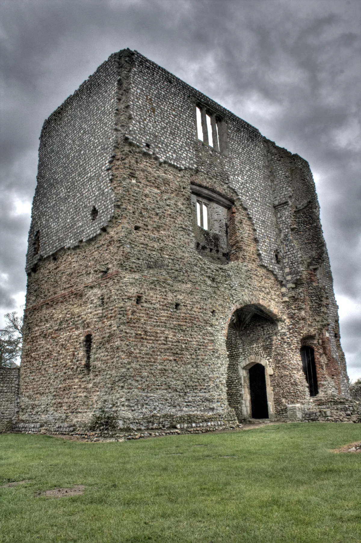
Baconsthorpe Castle
Baconsthorpe Castle — Grade I listed castle in Norfolk, England, UK.
Campsites · East Midlands
Rookery Farm
Rookery Farm — a campsite in england east midlands.
Caravan parks · East Midlands
Red Hart Inn
Red Hart Inn — a caravan park in england east midlands.
 📷 3
📷 3Public art & sculpture · East Midlands
Bodham Village Sign
Bodham Village Sign — a public art in england-east-midlands, United Kingdom.
 📷 3
📷 3Public art & sculpture · East Midlands
West Beckham Village Sign
West Beckham Village Sign — a public art in england-east-midlands, United Kingdom.
 📷 3
📷 3Historic houses · East Midlands
RAF West Beckham
RAF West Beckham — a historic house in england-east-midlands, United Kingdom.
More abbeys in this region
 📷 3
📷 3Abbeys & priories · East Midlands
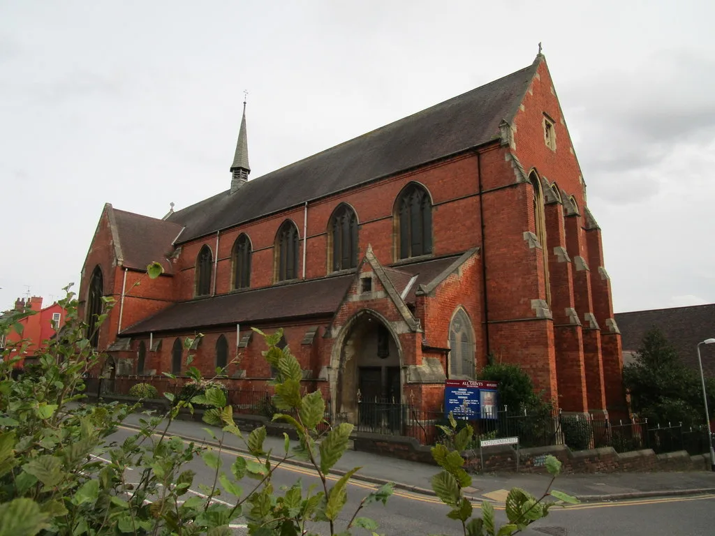
All Saints' Church, Lincoln
All Saints' Church, Lincoln — parish church building in Lincoln, Lincolnshire, England, UK.
 📷 3
📷 3Abbeys & priories · East Midlands
All Saints' Church, Mackworth
All Saints' Church, Mackworth — Grade I listed parish church in Mackworth, Derbyshire, England, UK.
 ★ Iconic📷 3
Abbeys & priories · East Midlands
All Saints' Church, Sawley
All Saints' Church, Sawley — Grade I listed parish church in Sawley, Erewash, Derbyshire, England, UK.
 ★ Iconic📷 3
Abbeys & priories · East Midlands
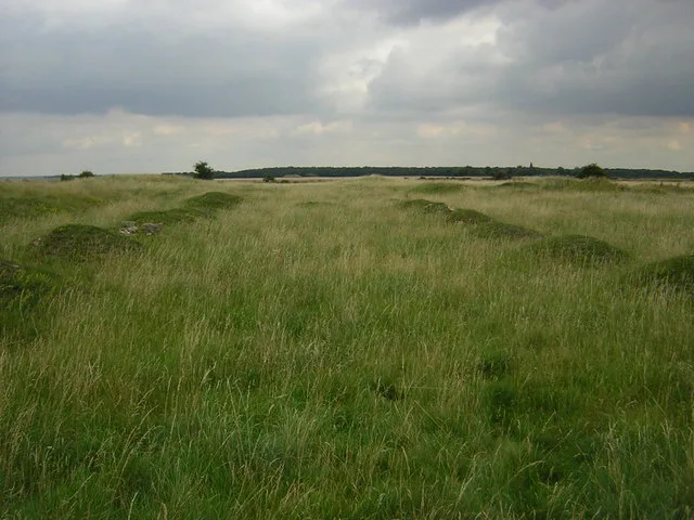
Bardney Abbey
Bardney Abbey — abbey in Bardney, West Lindsey, Lincolnshire, England, UK.
Frequently asked questions
- Where is Church of All Saints?
- Church of All Saints is in Norfolk, the East Midlands, United Kingdom (postcode NR25 6PT), in the parish of Bodham.
- Is Church of All Saints a listed building?
- Church of All Saints is officially recognised as Grade II* listed building listed.
- Is Church of All Saints a protected site?
- Yes — Church of All Saints is part of the Norfolk Coast National Landscape (AONB).
- How do I get to Church of All Saints?
- The nearest railway station is Weybourne, about 3.1 km away. Drivers can navigate to postcode NR25 6PT.