
Hill forts · South West England
Chûn Quoit
In or near Morvah.
Chûn Quoit — Dolmen in the Cornwall region, England.

Wikimedia Commons contributors — see linked file page for photographer and licence licence

Plan your visit
- Typical visit
- 1 h–2 h
- Nearest railway station
- Penzance · 8.1 km
- Free entry
- Dog-friendly
About
Chûn Quoit is a hill fort in the United Kingdom. Wikidata describes it as: "Dolmen in the Cornwall region, England". Coordinates: 50.1486°, -5.6377°.
Photo gallery
Official information
Chûn Quoit is a well-preserved prehistoric monument from the Neolithic period, consisting of a closed chamber made of four slabs supporting a large capstone. It is one of several quoits found in the West Penwith area, believed to have served as burial sites and places for ancestral consultation.
Protected designations
- Site of Special Scientific Interest: Aire Point to Carrick Du SSSI
- Site of Special Scientific Interest: West Penwith Moors and Downs SSSI
- Area of Outstanding Natural Beauty: Cornwall
Designations sourced from Natural England open data under OGL v3.
From the Wikipedia article
Chûn Quoit is one of the best preserved of all Neolithic quoits (also called dolmens or cromlechs) in western Cornwall, England, United Kingdom. Chûn Quoit is located in open moorland near Pendeen and Morvah. Standing on a ridge, near the much later constructed Chûn Castle hill fort, it overlooks heather moorland and the open sea.
Excerpt from Wikipedia under CC BY-SA 4.0. See the source article linked in Sources below.
Background
Description
Like the other quoits, the quoit was probably covered by a round barrow (35 ft in diameter), of which much evidence abounds. It was a closed chamber and its mushroom-domed capstone measures 3.3 m (11 ft) by 3 m (10 ft), with a maximum thickness of 0.8 m (2 ft 7 in). There is a cup mark on top of the capstone. It is supported about 2 m (7 ft) from the ground by four substantial slabs. There is evidence of an entrance passage to the south-east within the mound area. The site was examined in 1871 but no significant finds were made. In the vicinity of Chûn Quoit there are many other megalithic and archaeological sites, such as Lanyon Quoit, Mulfra Quoit, Mên-an-Tol and Mên Scryfa. The rocky…
Sourced from Wikipedia under CC BY-SA 4.0.
- Coordinates
- 50.1486, -5.6377
- District
- Cornwall
- Parish
- Morvah
- Postcode
- TR19 7TT
- Parliamentary constituency
- St Ives
- Nearest railway station
- Penzance — 8.1 km
- Official site
- www.cornishancientsites.com
Sources
- wikidata: Q1091060 (CC0)
- wikipedia: Chûn Quoit (CC BY-SA 4.0)
- commons: Chun Quoit.jpg (CC BY-SA 4.0)
Other places nearby

Chûn Castle
Vineyards · 0.3 km

Chûn Castle
Castles · 0.3 km

Yew Tree Gallery
Public art & sculpture · 1.0 km
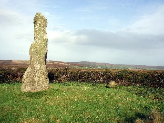
Boswens Menhir
Hill forts · 1.1 km

Bridge Over Stream Immediately West Of Number 14
Historic bridges · 1.3 km

Carne Camping
Campsites · 1.3 km
Bridge Over Stream West Of Numbers 5 To 12
Historic bridges · 1.4 km

Boswens Common
Mountains & hills · 1.4 km

Morvah
Towns & cities · 1.4 km
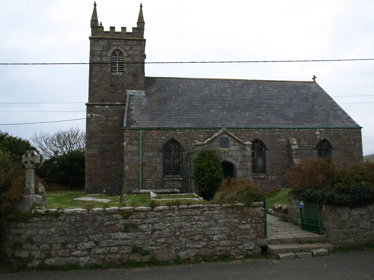
St Bridget's Church, Morvah
Historic churches · 1.5 km
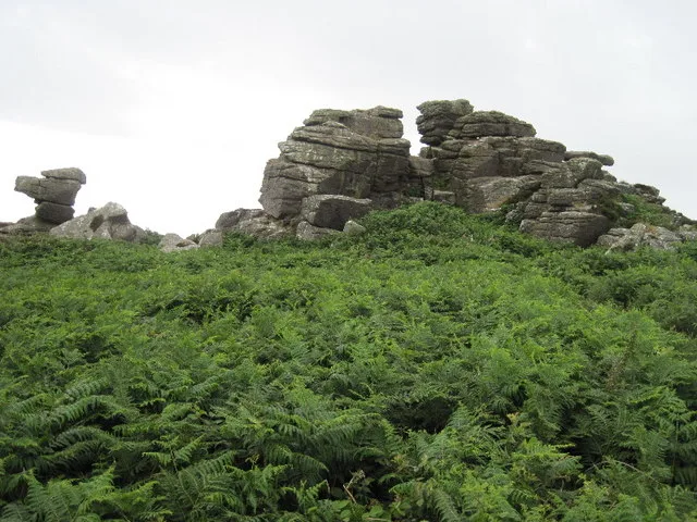
Carn Kenidjack
Mountains & hills · 1.7 km

Pendeen
Historic churches · 1.8 km
Nearby
📷 5Vineyards · South West England
Chûn Castle
Chûn Castle — a UK vineyard in england south west, producing English or Welsh wine from cool-climate grape varieties.
📷 3Castles · South West England
Chûn Castle
Chûn Castle — a castle in england-south-west, United Kingdom.
📷 3Public art & sculpture · South West England
Yew Tree Gallery
Yew Tree Gallery — a public art in england-south-west, United Kingdom.
📷 5Hill forts · South West England
Boswens Menhir
Boswens Menhir — standing stone near St. Just in Penwith, Cornwall, England.
📷 3Historic bridges · South West England
Bridge Over Stream Immediately West Of Number 14
Bridge Over Stream Immediately West Of Number 14 — Grade II listed building-listed bridge in england-south-west, United Kingdom.
📷 5Where to eat & stay near Chûn Quoit
Places to stay
📷 5 📷 5
📷 5Campsites · South West England
North Inn Camping
North Inn Camping — a campsite in england south west.
 📷 5
📷 5Campsites · South West England
The Old Coastguards Campsite
The Old Coastguards Campsite — a campsite in england south west.
 📷 5
📷 5Campsites · South West England
Trevaylor Caravan and Camping Park
Trevaylor Caravan and Camping Park — a campsite in england south west.
 📷 7
📷 7Hotels · South West England
The Wellington Hotel
The Wellington Hotel — a hotel in england south west.
 📷 6
📷 6Places to eat & drink
 📷 5
📷 5 📷 5
📷 5Historic pubs · South West England
First And Last Inn
First And Last Inn in England South West, United Kingdom.
 📷 5
📷 5Historic pubs · South West England
Tolcarne Inn Public House
Tolcarne Inn Public House in England South West, United Kingdom.
 📷 7
📷 7Restaurants · South West England
The Old Lifeboat House Bistro
The Old Lifeboat House Bistro — a restaurant in england south west. Cuisine: seafood.
 📷 5
📷 5Historic pubs · South West England
The Sloop Inn
The Sloop Inn in England South West, United Kingdom.
 📷 5
📷 5Historic pubs · South West England
The Bucket of Blood
The Bucket of Blood in England South West, United Kingdom.
More places in this region
 Flagship📷 10
Hill forts · South West England
Maiden Castle
Maiden Castle — Iron Age hill fort in Dorset, England, UK.
 📷 5
📷 5Hill forts · South West England
All Cannings Cross
All Cannings Cross — archaeological site in All Cannings, Wiltshire, England, UK.
 📷 5
📷 5Hill forts · South West England
Aquae Sulis
Aquae Sulis — town in Roman Britain on the site of Bath, England.
 📷 5
📷 5Hill forts · South West England
Aston Valley Barrow Cemetery
Aston Valley Barrow Cemetery — group of Bronze Age burial mounds in England.
Frequently asked questions
- Where is Chûn Quoit?
- Chûn Quoit is in South-West England, United Kingdom (postcode TR19 7TT), in the parish of Morvah.
- What is Chûn Quoit?
- Chûn Quoit — Dolmen in the Cornwall region, England.
- How do I get to Chûn Quoit?
- The nearest railway station is Penzance, about 8.1 km away. The nearest town is Morvah. Drivers can use postcode TR19 7TT.
- Is Chûn Quoit a protected site?
- Yes — Chûn Quoit is part of the Aire Point to Carrick Du SSSI Site of Special Scientific Interest and the West Penwith Moors and Downs SSSI Site of Special Scientific Interest.
- Is Chûn Quoit free to visit?
- Yes, Chûn Quoit is free to enter.
- How do I get to Chûn Quoit?
- Drivers can navigate to postcode TR19 7TT. It sits within the St Ives parliamentary constituency.