
Castles · North West England
Chorlton-cum-Hardy
In or near Manchester.
Chorlton-cum-Hardy is a suburban area of Manchester, England, three miles (4.8 km) southwest of the city centre. Chorlton ward had a population of 14,138 at the 2011 census, and Chorlton Park 15,147.

Bob Harvey — CC BY-SA 2.0 via Wikimedia Commons licence

Plan your visit
- Typical visit
- 1.5 h–3 h
- Nearest railway station
- Trafford Park · 2.7 km
- Free entry
- Family-friendly
- Limited wheelchair access
Getting there & planning your visit
To visit Chorlton-cum-Hardy, the nearest railway station is Trafford Park, located 2.7 km away. The postcode for sat-nav is M21 8AE. Accessibility is limited for wheelchair users.
About
Chorlton-cum-Hardy is a suburban area of Manchester, England, three miles (4.8 km) southwest of the city centre. Chorlton ward had a population of 14,138 at the 2011 census, and Chorlton Park 15,147. By the 9th century, there was an Anglo-Saxon settlement here. In the Middle Ages, improved drainage methods led to population growth. In the late Victorian and Edwardian periods, its rural character made it popular among the middle class. The loss of its railway station, the conversion of larger houses into flats or bedsitters, and significant social housing development to the south of the area changed its character again in the 1970s. Chorlton Manchester Metrolink tram stop was built on the site of the former railway station, served by East Didsbury and Manchester Airport trams. Chorlton was a village on Lancashire's southern border with Cheshire, and a township within the ancient parish of Manchester. It was incorporated into the city of Manchester in 1904. Chorlton borders Stretford, Sale, Didsbury, Withington, and Whalley Range. The River Mersey runs along its southern boundary. The area's eastern boundary has changed since the 19th century because of incorporation into the City of Manchester and division into wards.
Photo gallery
360° viewimagery from 2020
Imagery © Mapillary contributors, CC BY-SA 4.0
Official information
Little Orange Co. specializes in artisan arancini inspired by Sicilian heritage. They operate through wholesale to delis and cafes and participate in monthly pop-up markets in various locations including Chorlton.
From the Wikipedia article
Chorlton-cum-Hardy is a suburban area of Manchester, England, three miles (4.8 km) southwest of the city centre. Chorlton ward had a population of 14,138 at the 2011 census, and Chorlton Park 15,147. By the 9th century, there was an Anglo-Saxon settlement here. In the Middle Ages, improved drainage methods led to population growth. In the late Victorian and Edwardian periods, its rural character made it popular among the middle class. The loss of its railway station, the conversion of larger houses into flats or bedsitters, and significant social housing development to the south of the area changed its character again in the 1970s. Chorlton Manchester Metrolink tram stop was built on the site of the former railway station, served by East Didsbury and Manchester Airport trams. Chorlton was a village on Lancashire's southern border with Cheshire, and a township within the ancient parish of Manchester. It was incorporated into the city of Manchester in 1904. Chorlton borders Stretford, Sale, Didsbury, Withington, and Whalley Range. The River Mersey runs along its southern boundary. The area's eastern boundary has changed since the 19th century because of incorporation into the City of Manchester and division into wards.
Excerpt from Wikipedia under CC BY-SA 4.0. See the source article linked in Sources below.
Background
History
The district was part of the kingdom of Northumbria from the 7th century, but settlement in the Mersey valley may well have been later. Thomas L. Ellwood suggested 610 AD as the date of founding the settlement, but John Lloyd in his 1972 history considered the period 610 to 900 AD more likely. The area now known as Chorlton-cum-Hardy comprises the ancient settlements of Chorlton along with Hardy and Barlow to the south on the north side of the Mersey}} In 1567 the lord of the manor was Alexander Barlow, a staunch recusant who was imprisoned for his beliefs and died in 1584 leaving a son who held similar beliefs. Two of his sons entered the Order of Saint Benedict, one of them, Ambrose…
Visiting
The ITV sitcom The Cuckoo Waltz, starring Diane Keen, David Roper and Lewis Collins was nominally set in Chorlton-cum-Hardy, referenced in certain episodes.
Sourced from Wikipedia under CC BY-SA 4.0.
- Coordinates
- 53.4420, -2.2770
- District
- Manchester
- Parish
- Manchester, unparished area
- Postcode
- M21 8AE
- Parliamentary constituency
- Manchester Withington
- Nearest railway station
- Trafford Park — 2.7 km
Sources
- wikipedia: Chorlton-cum-Hardy (CC BY-SA 4.0)
Other places nearby

Gaumont Chorlton-cum-Hardy
Theatres · 0.2 km

Little Orange
Farmers’ markets · 0.3 km
Kadampa Meditation Centre
Historic churches · 0.3 km

Chorlton War Memorial
Memorials & monuments · 0.4 km
The Edge Theatre & Arts Centre
Theatres · 0.4 km
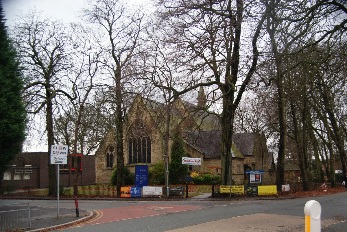
St Clement's Church
Abbeys & priories · 0.5 km

St Clement's Church
Cathedrals · 0.5 km

Shalimar Cinema
Theatres · 0.8 km
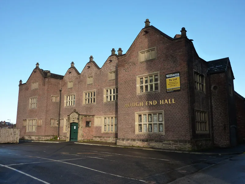
Hough End Hall
Stately homes · 1.0 km

Hough End Hall Academy
Historic churches · 1.0 km

Corona Super Cinema
Theatres · 1.1 km

Shair-e-Rabbani Mosque
Historic churches · 1.1 km
Nearby
📷 5Theatres · North West England
Gaumont Chorlton-cum-Hardy
Gaumont Chorlton-cum-Hardy — a cinema heritage in england-west-midlands, United Kingdom.
📷 5Farmers’ markets · North West England
Little Orange
Little Orange — a UK farmers' market in england west midlands.
Historic churches · North West England
Kadampa Meditation Centre
Kadampa Meditation Centre — a church in england north west.
📷 3Memorials & monuments · North West England
Chorlton War Memorial
Chorlton War Memorial — Grade II listed building-listed memorial in england-west-midlands, United Kingdom.
📷 3Theatres · North West England
The Edge Theatre & Arts Centre
The Edge Theatre & Arts Centre is a theatre in the United Kingdom.
📷 5Abbeys & priories · North West England
St Clement's Church
St Clement's Church — church in Chorlton-cum-Hardy, Manchester, England.
Where to eat & stay near Chorlton-cum-Hardy
Places to stay
 📷 5
📷 5Hotels · North West England
Hilton Garden Inn Manchester Emirates Old Trafford
Hilton Garden Inn Manchester Emirates Old Trafford — a hotel in england west midlands. 4-star. Brand: Hilton Garden Inn.
 📷 7
📷 7Hotels · North West England
Chesters Hotel & Restaurant
Chesters Hotel & Restaurant — a hotel in england west midlands.
 📷 7
📷 7Hotels · North West England
Hotel Football
Hotel Football — a hotel in england west midlands.
 📷 7
📷 7 📷 5
📷 5Hotels · North West England
Holiday Inn Express
Holiday Inn Express — a hotel in england west midlands. Brand: Holiday Inn Express.
 📷 5
📷 5Hotels · North West England
Hyatt Regency Manchester
Hyatt Regency Manchester — a hotel in england west midlands. 4-star. Brand: Hyatt Regency.
Places to eat & drink
 📷 7
📷 7Historic pubs · North West England
Volunteer Hotel
Volunteer Hotel — Historic pub — listed building or notable heritage status.
 📷 7
📷 7 📷 7
📷 7Historic pubs · North West England
Queen of Hearts
Queen of Hearts in England North West, United Kingdom.
 📷 5
📷 5Historic pubs · North West England
323-7, Oxford Road
323-7, Oxford Road in England North West, United Kingdom.
 📷 5
📷 5Historic pubs · North West England
Saints & Scholars
Saints & Scholars in England North West, United Kingdom.
 📷 5
📷 5Historic pubs · North West England
The Briton's Protection
The Briton's Protection in England North West, United Kingdom.
More castles in this region
 📷 3
📷 3Castles · North West England
Manchester Castle
Manchester Castle — medieval fortified manor house in England.
 📷 5
📷 5Castles · North West England
Mow Cop Castle
Mow Cop Castle — folly on the Cheshire and Staffordshire border, England, UK.
 📷 3
📷 3 📷 3
📷 3Castles · North West England
Ullerwood Castle
Ullerwood Castle — castle in Greater Manchester, England.
Frequently asked questions
- Where is Chorlton-cum-Hardy?
- Chorlton-cum-Hardy is in North-West England, United Kingdom (postcode M21 8AE), in the parish of Manchester, unparished area.
- What is Chorlton-cum-Hardy?
- Chorlton-cum-Hardy is a suburban area of Manchester, England, three miles (4.8 km) southwest of the city centre. Chorlton ward had a population of 14,138 at the 2011 census, and Chorlton Park 15,147.
- How do I get to Chorlton-cum-Hardy?
- The nearest railway station is Trafford Park, about 2.7 km away. The nearest town is Manchester. Drivers can use postcode M21 8AE.
- Is Chorlton-cum-Hardy free to visit?
- Yes, Chorlton-cum-Hardy is free to enter.
- How do I get to Chorlton-cum-Hardy?
- The nearest railway station is Trafford Park, about 2.7 km away. Drivers can navigate to postcode M21 8AE.