
Museums · South West England
Chew Valley
In or near Chew Stoke.
The Chew Valley is a river valley in north Somerset, England, named after the River Chew, which rises at Chewton Mendip, and joins the River Avon at Keynsham. Technically, the area of the valley is bo

ErrolEdwards — CC BY-SA 2.0 via Wikimedia Commons licence

Plan your visit
- Typical visit
- 1.5 h–3 h
- Best time of year
- Year-round
- Family-friendly
- Limited wheelchair access
About
The Chew Valley is a river valley in north Somerset, England, named after the River Chew, which rises at Chewton Mendip, and joins the River Avon at Keynsham. Technically, the area of the valley is bounded by the water catchment area of the Chew and its tributaries; however, the name Chew Valley is often used less formally to cover other nearby areas, for example, Blagdon Lake and its environs, which by a stricter definition are part of the Yeo Valley. The valley is an area of rich arable and dairy farmland, interspersed with a number of villages. The landscape consists of the valley of the River Chew and is generally low-lying and undulating. It is bounded by higher ground ranging from Dundry Down and the south western boundary of Keynsham town to the north, the Lulsgate Plateau to the west, the Mendip Hills to the south and the Hinton Blewett, Temple Cloud, Clutton and Marksbury plateau areas to the east. The valley's boundary generally follows the top of scarp slopes except at the southwestern and southeastern boundaries where flat upper areas of the Chew Valley grade gently into the Yeo Valley and eastern Mendip Hills respectively. The River Chew was dammed in the 1950s to create Chew Valley Lake, which provides drinking water for the nearby city of Bristol and surrounding areas. The lake is a prominent landscape feature of the valley, a focus for recreation, and is internationally recognised for its nature conservation interest, because of the bird species, plants and in
Photo gallery
Protected designations
- Site of Special Scientific Interest: Chew Valley Lake SSSI
- Site of Special Scientific Interest: Severn Estuary SSSI
- Area of Outstanding Natural Beauty: Mendip Hills
Designations sourced from Natural England open data under OGL v3.
From the Wikipedia article
The Chew Valley is a river valley in north Somerset, England, named after the River Chew, which rises at Chewton Mendip, and joins the River Avon at Keynsham. Technically, the area of the valley is bounded by the water catchment area of the Chew and its tributaries; however, the name Chew Valley is often used less formally to cover other nearby areas, for example, Blagdon Lake and its environs, which by a stricter definition are part of the Yeo Valley. The valley is an area of rich arable and dairy farmland, interspersed with a number of villages. The landscape consists of the valley of the River Chew and is generally low-lying and undulating. It is bounded by higher ground ranging from Dundry Down and the south western boundary of Keynsham town to the north, the Lulsgate Plateau to the west, the Mendip Hills to the south and the Hinton Blewett, Temple Cloud, Clutton and Marksbury plateau areas to the east. The valley's boundary generally follows the top of scarp slopes except at the southwestern and southeastern boundaries where flat upper areas of the Chew Valley grade gently into the Yeo Valley and eastern Mendip Hills respectively. The River Chew was dammed in the 1950s to create Chew Valley Lake, which provides drinking water for the nearby city of Bristol and surrounding areas. The lake is a prominent landscape feature of the valley, a focus for recreation, and is internationally recognised for its nature conservation interest, because of the bird species, plants and insects. The area falls into the domains of councils including Bath and North East Somerset, North Somerset and Somerset Council. Part of the area falls within the Mendip Hills Area of Outstanding Natural Beauty. Most of the undeveloped area is within the Bristol/Bath Green Belt. Many of the villages date back to the time of the Domesday Book and there is evidence of human occupation since the Stone Age. There are hundreds of listed buildings with the churches being Grade I listed. The main commer
Excerpt from Wikipedia under CC BY-SA 4.0. See the source article linked in Sources below.
Background
Architecture
The villages tend to have been built at the points where it was possible to cross the rivers and streams. Chew Magna is the business centre with a range of shops, banks etc. Other villages have local shops, often combined with post offices. Most villages have pubs and village halls which provide the majority of the social activity. The traditional building material is white Lias Limestone, sometimes incorporating red sandstone or conglomerate, with red clay tiled roofs. Buildings, particularly the churches, date back hundreds of years, for example those at Marksbury and Compton Martin, the latter incorporating a columbarium.
Sourced from Wikipedia under CC BY-SA 4.0.
- Coordinates
- 51.3374, -2.6152
- District
- Bath and North East Somerset
- Parish
- Chew Stoke
- Postcode
- BS40 8XH
- Parliamentary constituency
- North East Somerset and Hanham
- Official site
- chew-stoke.parish.uk
Sources
- wikipedia: Chew Valley (CC BY-SA 4.0)
Other places nearby

Chew Valley Lake
Reservoirs & lochs · 0.4 km

Chew Valley Picnic Area Two
Natural landmarks · 1.2 km

Chew Valley Caravan Park
Caravan parks · 1.2 km

Woodford Hill
Mountains & hills · 1.6 km

North Widcombe
Villages · 1.6 km

Burledge Hill
Vineyards · 1.8 km
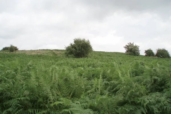
Knowle Hill
Mountains & hills · 1.8 km

Chew Stoke
Villages · 2.2 km

Chew Stoke
Towns & cities · 2.2 km
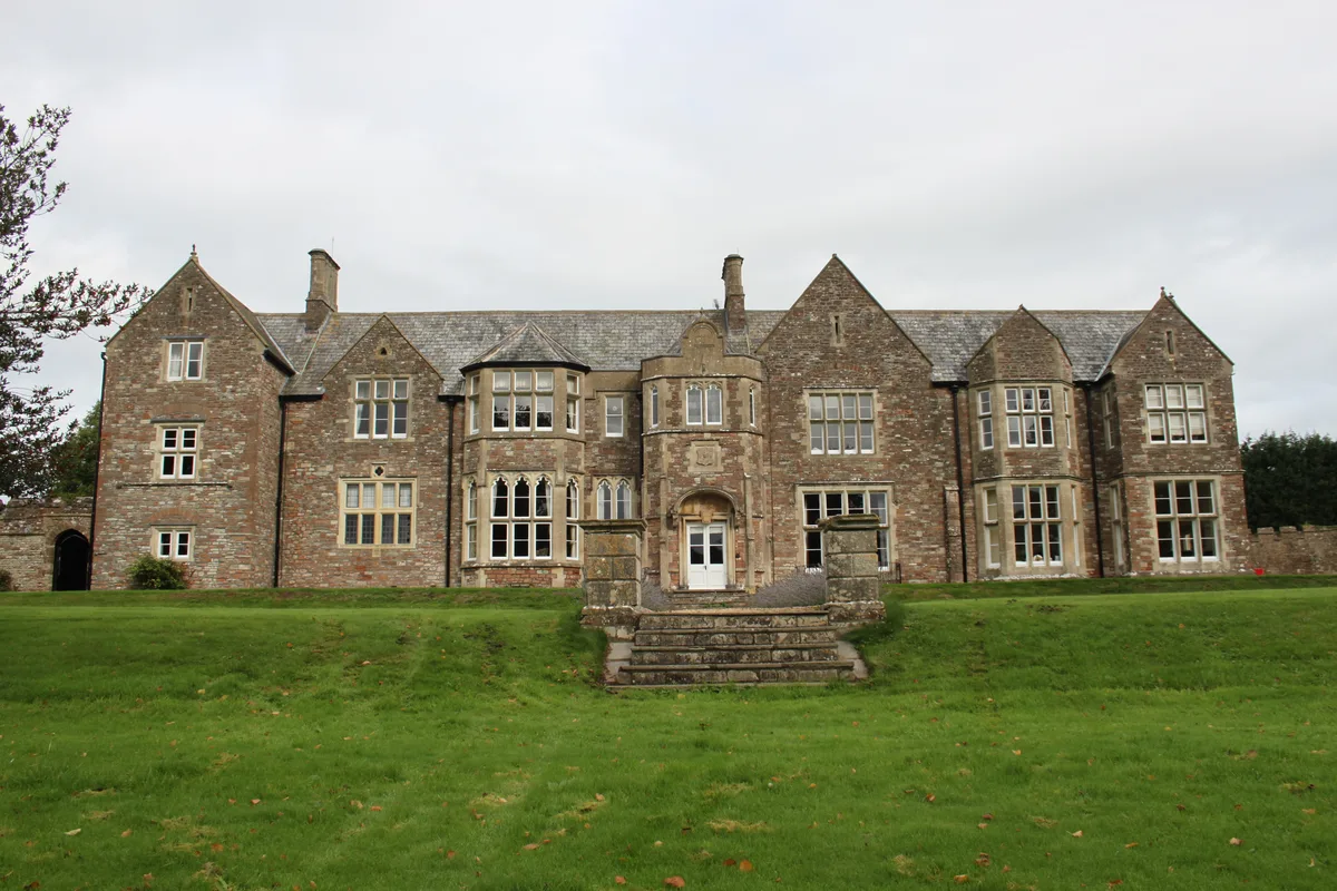
Sutton Court
Stately homes · 2.3 km

The Rectory, Chew Stoke
Historic houses · 2.4 km

Stowey
Villages · 2.5 km
Nearby
📷 3Reservoirs & lochs · South West England
Chew Valley Lake
Chew Valley Lake — reservoir in Somerset, England.
📷 3Natural landmarks · South West England
Chew Valley Picnic Area Two
Chew Valley Picnic Area Two — a other in wales-south, United Kingdom.
📷 5Caravan parks · South West England
Chew Valley Caravan Park
Chew Valley Caravan Park — a caravan park in england south west.
📷 5Mountains & hills · South West England
Woodford Hill
Woodford Hill — mountain in wales south. Elevation: 105 m.
📷 5📷 5Vineyards · South West England
Burledge Hill
Burledge Hill — a UK vineyard in wales south, producing English or Welsh wine from cool-climate grape varieties.
Where to eat & stay near Chew Valley
Places to stay
📷 5Caravan parks · South West England
Chew Valley Caravan Park
Chew Valley Caravan Park — a caravan park in england south west.
 📷 5
📷 5Campsites · South Wales
Walnut Tree Farm Camping
Walnut Tree Farm Camping — a campsite in wales south.
 📷 5
📷 5Hotels · South West England
Cameley Lodge
Cameley Lodge — a hotel in england south west.
 📷 5
📷 5Campsites · South West England
Nettwood Country Breaks
Nettwood Country Breaks — a campsite in england south west.
 📷 5
📷 5Campsites · South West England
Bristol View Glamping
Bristol View Glamping — a campsite in wales south.
 📷 5
📷 5Campsites · South West England
Chelwood Scout Campsite
Chelwood Scout Campsite — a campsite in england south west.
Places to eat & drink
 📷 5
📷 5
 📷 5
📷 5Historic pubs · South West England
The Trout Tavern
The Trout Tavern in England South West, United Kingdom.
 📷 5
📷 5Historic pubs · South West England
The Old Bank Public House
The Old Bank Public House in England South West, United Kingdom.
 📷 7
📷 7 📷 7
📷 7Historic pubs · South West England
Nova Scotia
Nova Scotia in Wales South, United Kingdom.
More museums in this region
 📷 5
📷 5Museums · South West England
Alexander Keiller Museum
Alexander Keiller Museum — museum in South West England, United Kingdom.
 📷 5
📷 5Museums · South West England
American Museum and Gardens
American Museum and Gardens — culture and arts museum near Bath, England, United Kingdom.
 📷 5
📷 5Museums · South West England
Atwell-Wilson Motor Museum
Atwell-Wilson Motor Museum — museum in Calne, England, UK.
 📷 5
📷 5Museums · South West England
Bath Abbey Heritage Vaults
Bath Abbey Heritage Vaults — museum in Bath Abbey, Bath, England, UK.
Frequently asked questions
- Where is Chew Valley?
- Chew Valley is in South Wales, United Kingdom (postcode BS40 8XH), in the parish of Chew Stoke.
- What is Chew Valley?
- The Chew Valley is a river valley in north Somerset, England, named after the River Chew, which rises at Chewton Mendip, and joins the River Avon at Keynsham. Technically, the area of the valley is bo
- How do I get to Chew Valley?
- Drivers can use postcode BS40 8XH.
- Is Chew Valley a protected site?
- Yes — Chew Valley is part of the Chew Valley Lake SSSI Site of Special Scientific Interest and the Severn Estuary SSSI Site of Special Scientific Interest.
- How do I get to Chew Valley?
- Drivers can navigate to postcode BS40 8XH. It sits within the North East Somerset and Hanham parliamentary constituency.