Historic bridges · North East England
Chesters Bridge
In or near Acomb.
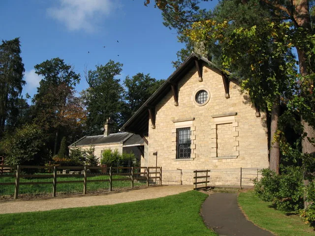
Chesters Bridge in England North East, United Kingdom.

Russel Wills — CC BY-SA 2.0 via Wikimedia Commons licence
Plan your visit
- Typical visit
- 15 min–30 min
- Nearest railway station
- Hexham · 6.3 km
- Free entry
- Dog-friendly
About
Chesters Bridge is a place of interest in England North East, United Kingdom — drawn from open-data sources for visitor reference. See the linked Wikipedia article for the full description.
Photo gallery
From the Wikipedia article
Chesters Bridge was a Roman bridge over the River North Tyne at Chollerford, Northumberland, England, and adjacent to the Roman fort of Cilurnum on Hadrian's Wall. The fort, mentioned in the Notitia Dignitatum, and now identified with the fort found at Chesters, was known as Cilurnum or Cilurvum. In 2016, public access to Chesters Roman bridge abutments was suspended due to flood damage.
Excerpt from Wikipedia under CC BY-SA 4.0. See the source article linked in Sources below.
Background
History
The remains of the bridge on the east bank of the River North Tyne are approached along a footpath from near Chollerford Bridge. These remains were first located in 1860. They form one of the most impressive and massive masonry structures to be seen on Hadrian's Wall. A shift in the course of the Tyne has moved the river westwards about 66 ft, completely covering or sweeping away much of the west abutment, leaving the eastern abutment high, if not always dry, on the other bank.
Sourced from Wikipedia under CC BY-SA 4.0.
- Coordinates
- 55.0252, -2.1365
- District
- Northumberland
- Parish
- Humshaugh
- Postcode
- NE46 4ET
- Parliamentary constituency
- Hexham
- Established
- 122
- Nearest railway station
- Hexham — 6.3 km
Sources
- wikidata: Q5093849 (CC0)
- wikipedia: Chesters Bridge (CC BY-SA 4.0)
Other places nearby

Abutment of Roman Bridge
Historic bridges · 0.0 km

Bath-house
Archaeological sites · 0.1 km

Commandant's House
Historic houses · 0.2 km

Chesters Roman Fort
Museums · 0.2 km

Roman temple in Chester
Follies · 0.2 km

Walwick Tower
Literary houses · 0.2 km

Headquarters building
Historic houses · 0.2 km
Cilurnum
Archaeological sites · 0.2 km

Milecastle 27
Archaeological sites · 0.3 km
Milecastle 27 (Low Brunton)
Archaeological sites · 0.3 km

Chesters Roman Fort Museum
Museums · 0.4 km
Clayton Museum
Science centres · 0.4 km
Nearby
📷 3Historic bridges · North East England
Abutment of Roman Bridge
Abutment of Roman Bridge — a bridge in scotland-lowlands, United Kingdom.
📷 5Archaeological sites · North East England
Bath-house
Bath-house — archaeological in scotland lowlands.
📷 3Historic houses · North East England
Commandant's House
Commandant's House — a historic house in scotland-lowlands, United Kingdom.
📷 4Museums · North East England
Chesters Roman Fort
Chesters Roman Fort in England North East, United Kingdom.
📷 5Follies · North East England
Roman temple in Chester
Roman temple in Chester — a temple folly in scotland-lowlands, United Kingdom.
📷 5Literary houses · North East England
Walwick Tower
Walwick Tower — a literary house museum in scotland lowlands.
Where to eat & stay near Chesters Bridge
Places to stay
 📷 7
📷 7Hotels · North East England
George Hotel
George Hotel — a hotel in scotland lowlands.
 📷 5
📷 5Campsites · North East England
Greencarts Campsite
Greencarts Campsite — a campsite in scotland lowlands.
 📷 5
📷 5Campsites · North East England
Fallowfield Caravan Park
Fallowfield Caravan Park — a campsite in scotland lowlands.
 📷 5
📷 5Caravan parks · North East England
Riverside Leisure Holiday Park
Riverside Leisure Holiday Park — a caravan park in scotland lowlands.
 📷 5
📷 5Caravan parks · North East England
Tyne Green Holiday Park
Tyne Green Holiday Park — a caravan park in scotland lowlands.
 📷 5
📷 5Caravan parks · North East England
Heathergate Country Park
Heathergate Country Park — a caravan park in scotland lowlands.
Places to eat & drink
 📷 5
📷 5 📷 6
📷 6 📷 7
📷 7Historic pubs · North East England
Anchor Hotel
Anchor Hotel in Scotland Lowlands, United Kingdom.
 📷 7
📷 7Historic pubs · North East England
The Vicars Pele
The Vicars Pele in Scotland Lowlands, United Kingdom.
 📷 5
📷 5Historic pubs · North East England
Travellers' Rest Inn
Travellers' Rest Inn in Scotland Lowlands, United Kingdom.
 📷 5
📷 5Historic pubs · North East England
Wellington Inn
Wellington Inn in Scotland Lowlands, United Kingdom.
More bridges in this region
 📷 3
📷 3Historic bridges · North East England
Bridge About 30 Metres South Of The Manor House
Bridge About 30 Metres South Of The Manor House — Grade II listed building-listed bridge in england-yorkshire, United Kingdom.
 📷 3
📷 3Historic bridges · North East England
Old Bridge Over Nor Beck, On East Side Of Road
Old Bridge Over Nor Beck, On East Side Of Road — Grade II listed building-listed bridge in england-yorkshire, United Kingdom.
 📷 3
📷 3Historic bridges · North East England
Barnard Castle Bridge
Barnard Castle Bridge is a historic bridge in the United Kingdom.
 📷 3
📷 3Historic bridges · North East England
Blandswath Bridge
Blandswath Bridge is a historic bridge in the United Kingdom.
Frequently asked questions
- Where is Chesters Bridge?
- Chesters Bridge is in North-East England, United Kingdom (postcode NE46 4ET), in the parish of Humshaugh.
- What is Chesters Bridge?
- Chesters Bridge in England North East, United Kingdom.
- How do I get to Chesters Bridge?
- The nearest railway station is Hexham, about 6.3 km away. Drivers can use postcode NE46 4ET.
- When was Chesters Bridge built?
- Built or established in 122.
- Is Chesters Bridge free to visit?
- Yes, Chesters Bridge is free to enter.
- How do I get to Chesters Bridge?
- The nearest railway station is Hexham, about 6.3 km away. Drivers can navigate to postcode NE46 4ET.