
Hill forts · North West England
Cheetham Close
In or near Holcombe.
Cheetham Close — megalithic site and scheduled ancient monument in North Turton, Lancashire, England, UK.

Wikimedia Commons contributors — see linked file page for photographer and licence licence

Plan your visit
- Typical visit
- 1 h–2 h
- Nearest railway station
- Entwistle · 2.2 km
- Free entry
- Dog-friendly
Getting there & planning your visit
Cheetham Close is located in Bolton, North West England, with the postcode BL7 9RJ. The nearest railway station is Entwistle, which is 2.2 km away. Entry to the site is free.
About
Cheetham Close is a hill fort in the United Kingdom. Heritage designation: scheduled monument. Wikidata describes it as: "megalithic site and scheduled ancient monument in North Turton, Lancashire, England, UK". Coordinates: 53.6385°, -2.4301°.
Photo gallery
Protected designations
- Site of Special Scientific Interest: West Pennine Moors SSSI
Designations sourced from Natural England open data under OGL v3.
From the Wikipedia article
Cheetham Close is a megalithic site and scheduled ancient monument located in Lancashire, very close to the boundary with Greater Manchester, England. The megalith was in good condition until a farmer from Turton sledgehammered the circle in the 1870s. According to an article published in 1829, Cheetham Close was once a druidical ritual place and a Roman road passed 'within two hundred yards' of the megalith. The stone circle at Cheetham Close measured about 18.5 metres (61 ft) in diameter. Six stones are definitely part of the circle and other smaller stones are scattered about the place. The monument has been damaged, and the stones fractured.
Excerpt from Wikipedia under CC BY-SA 4.0. See the source article linked in Sources below.
- Coordinates
- 53.6385, -2.4301
- District
- Bolton
- Parish
- Bolton, unparished area
- Postcode
- BL7 9RJ
- Parliamentary constituency
- Bolton North East
- Nearest railway station
- Entwistle — 2.2 km
Sources
- wikidata: Q5089468 (CC0)
- wikipedia: Cheetham Close (CC BY-SA 4.0)
- commons: Not the most impressive of stone circles - geograph.org.uk - 2385288.jpg (CC BY-SA 4.0)
Other places nearby

Druid Stone Circle
Stone circles · 0.1 km

Turton Heights
Mountains & hills · 1.2 km
Turton Heights
Mountains & hills · 1.2 km

Bridge Over Railway Circa 170 Metres North West Of Turton Tower
Historic bridges · 1.4 km

Bridge Over Railway Circa 150 Metres South West Of Turton Tower
Historic bridges · 1.5 km
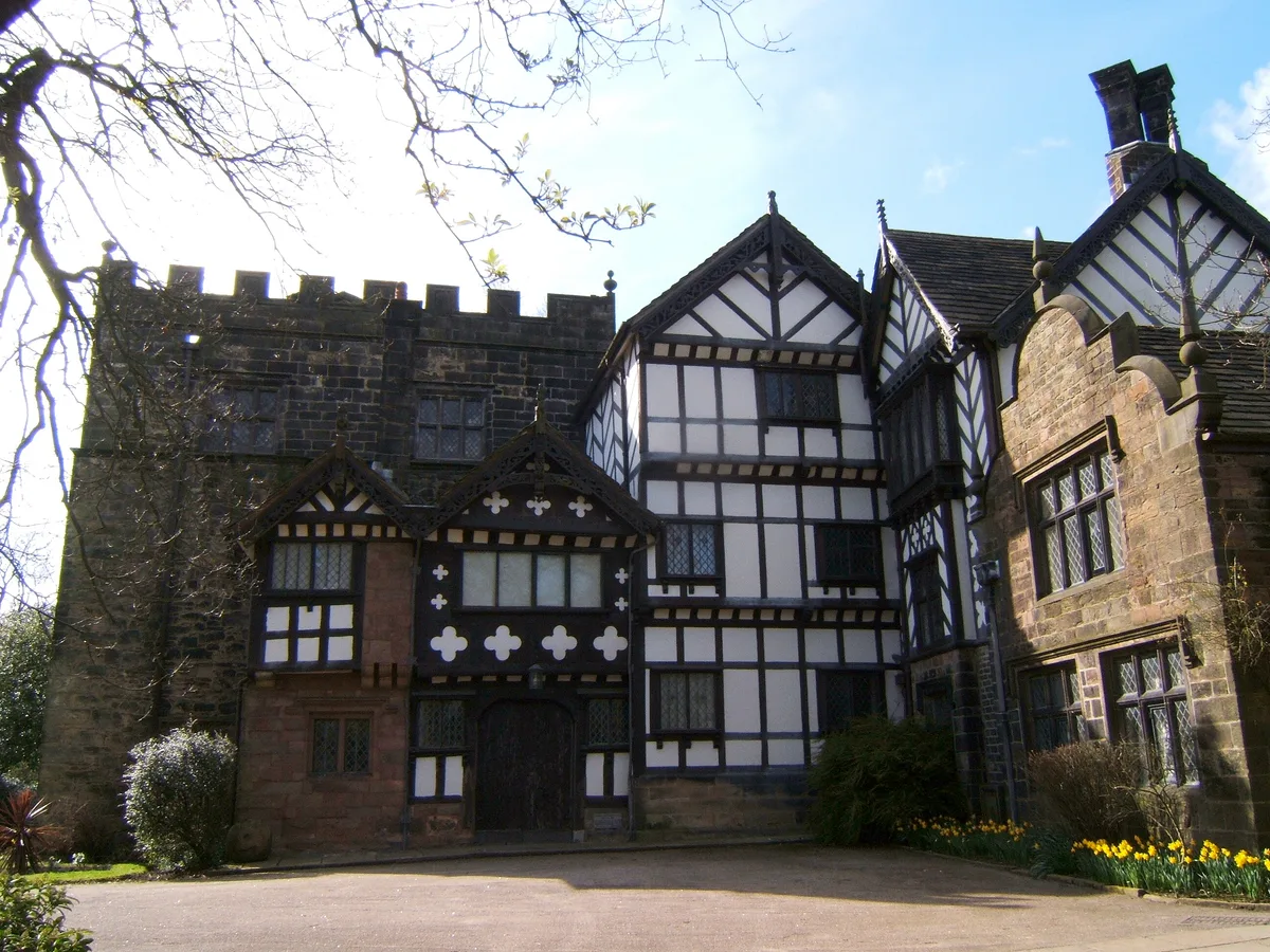
Turton Tower
Stately homes · 1.5 km

Chapeltown, Lancashire
Museums · 1.7 km
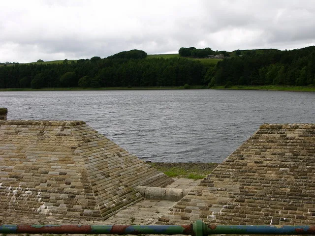
Turton and Entwistle Reservoir
Reservoirs & lochs · 1.7 km
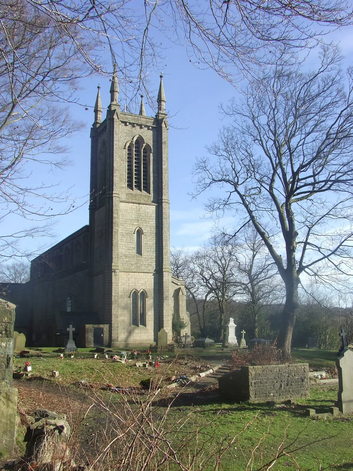
Christ Church, Walmsley
Historic churches · 1.8 km

Dunscar War Memorial
Memorials & monuments · 1.8 km
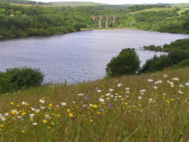
Wayoh Reservoir
Reservoirs & lochs · 1.8 km

Turton Urban District
Museums · 2.0 km
Nearby
📷 3Stone circles · North West England
Druid Stone Circle
Druid Stone Circle — a stone circle in North West England, United Kingdom.
📷 5Mountains & hills · North West England
Turton Heights
Turton Heights — mountain in england north west. Elevation: 343 m.
📷 5Mountains & hills · North West England
Turton Heights
Turton Heights — a hill or mountain in england north west.
📷 3Historic bridges · North West England
Bridge Over Railway Circa 170 Metres North West Of Turton Tower
Bridge Over Railway Circa 170 Metres North West Of Turton Tower — Grade II listed building-listed bridge in england-north-west, United Kingdom.
📷 3Historic bridges · North West England
Bridge Over Railway Circa 150 Metres South West Of Turton Tower
Bridge Over Railway Circa 150 Metres South West Of Turton Tower — Grade II listed building-listed bridge in england-north-west, United Kingdom.
📷 4Stately homes · North West England
Turton Tower
Turton Tower — Grade I listed building in North Turton, Lancashire, England, UK.
Where to eat & stay near Cheetham Close
Places to stay
 📷 5
📷 5Caravan parks · North West England
Walleach Caravan Park
Walleach Caravan Park — a caravan park in england north west.
 📷 5
📷 5Campsites · North West England
The Paddock Campsite
The Paddock Campsite — a campsite in england north west.
 📷 7
📷 7Hotels · North West England
Red Hall Hotel
Red Hall Hotel — a hotel in england north west.
 📷 5
📷 5Caravan parks · North West England
Wilcocks Farm Caravan Park
Wilcocks Farm Caravan Park — a caravan park in england north west.
 📷 5
📷 5Campsites · North West England
Burrs Country Park Caravan Club
Burrs Country Park Caravan Club — a campsite in england north west.
 📷 5
📷 5Caravan parks · North West England
Crompton Lodge Caravan Park
Crompton Lodge Caravan Park — a caravan park in england north west.
Places to eat & drink
 📷 5
📷 5Historic pubs · North West England
Ye Olde Man & Scythe
Ye Olde Man & Scythe — Historic pub — listed building or notable heritage status.
 📷 7
📷 7Historic pubs · North West England
Shoulder of Mutton
Shoulder of Mutton in England North West, United Kingdom.
 📷 7
📷 7Historic pubs · North West England
Blundell Arms
Blundell Arms in England North West, United Kingdom.
 📷 5
📷 5Historic pubs · North West England
The Shakespeare
The Shakespeare in England North West, United Kingdom.
 📷 7
📷 7Historic pubs · North West England
Old White Lion
Old White Lion in England North West, United Kingdom.
 📷 5
📷 5More places in this region
 📷 5
📷 5Hill forts · North West England
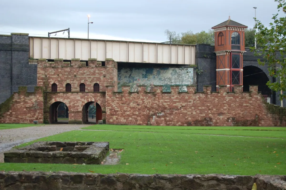
Mamucium
Mamucium — former Roman fort in the Castlefield area of Manchester in North West England.
 📷 3
📷 3Hill forts · North West England
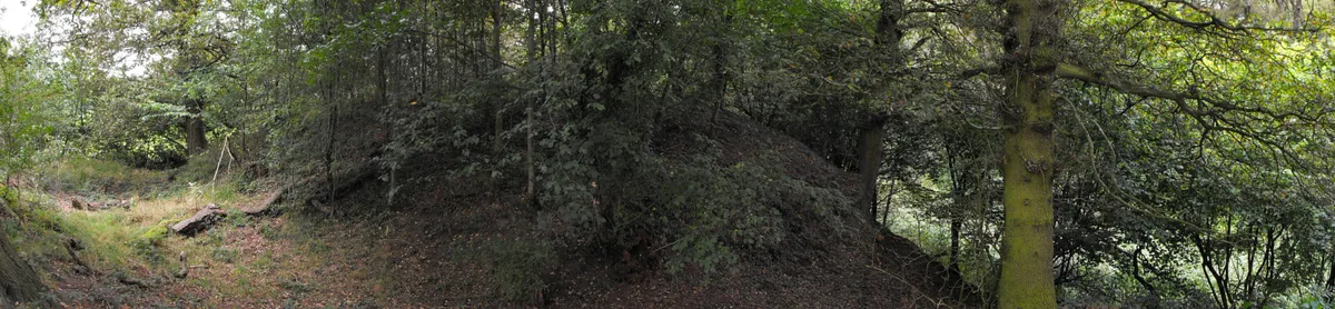
Timperley Hall
Timperley Hall is a hill fort in the United Kingdom.
 📷 3
📷 3Hill forts · North West England
Watch Hill Castle
Watch Hill Castle — medieval castle in Bowdon, Greater Manchester, England, UK.
 📷 5
📷 5Hill forts · North West England
Buckton Castle
Buckton Castle — 12th-century castle in Mossley, Greater Manchester, England, UK.
Frequently asked questions
- Where is Cheetham Close?
- Cheetham Close is in North-West England, United Kingdom (postcode BL7 9RJ), in the parish of Bolton, unparished area.
- What is Cheetham Close?
- Cheetham Close — megalithic site and scheduled ancient monument in North Turton, Lancashire, England, UK.
- How do I get to Cheetham Close?
- The nearest railway station is Entwistle, about 2.2 km away. The nearest town is Holcombe. Drivers can use postcode BL7 9RJ.
- Is Cheetham Close a listed building?
- Cheetham Close is officially recognised as scheduled monument listed.
- Is Cheetham Close a protected site?
- Yes — Cheetham Close is part of the West Pennine Moors SSSI Site of Special Scientific Interest.
- Is Cheetham Close free to visit?
- Yes, Cheetham Close is free to enter.
- How do I get to Cheetham Close?
- The nearest railway station is Entwistle, about 2.2 km away. Drivers can navigate to postcode BL7 9RJ.