
Historic bridges · East of England
Chalfont Viaduct
In or near Denham.
Chalfont Viaduct is a historic bridge in the United Kingdom.

Wikimedia Commons contributors — see linked file page for photographer and licence licence

Plan your visit
- Typical visit
- 15 min–30 min
- Nearest railway station
- Denham Golf Club · 1.1 km
- Free entry
- Dog-friendly
Getting there & planning your visit
To visit Chalfont Viaduct, the nearest railway station is Denham Golf Club, located 1.1 km away. Entry is free, and the postcode for sat-nav is SL9 8DT.
About
Chalfont Viaduct is a named historic bridge in the United Kingdom. Coordinates: 51.5823°, -0.5345°. This entry is part of The Great Britain Guide, a free, ad-free, open-data tourist directory.
Photo gallery
See it from the streetimagery from 2022
Imagery © Mapillary contributors, CC BY-SA 4.0
Protected designations
- Area of Outstanding Natural Beauty: Chilterns
Designations sourced from Natural England open data under OGL v3.
From the Wikipedia article
The Chalfont Viaduct (also known as the Misbourne Viaduct) is the first of two five-arch brick railway viaducts on the Chiltern Main Line in south-east England. It is located between Gerrards Cross and Denham Golf Club stations. The M25 motorway passes beneath it between junctions 16 and 17 at Gerrards Cross near Chalfont St Peter, from where the bridge gets its name. The bridge is known as Chalfont No. 1 Viaduct; the longer Chalfont No. 2 Viaduct is a short distance to the west and spans the A413. The bridge is noted as a local landmark because for ten years it bore a graffiti slogan, "give peas a chance" painted in large white letters on the south-facing parapet. As of March 2024, it bears the slogan "helta▪skelta" (added in 2021).
Excerpt from Wikipedia under CC BY-SA 4.0. See the source article linked in Sources below.
Background
Architecture
The Chalfont Viaduct is built of blue and black engineering brick with additional decorative brickwork. The bridge is approximately 12.5 m high, although it varies in height due to changing ground level, and it has five semi-elliptical arches, each 15.5 m wide. It was constructed between 1902 and 1906 by the Great Western Railway (GWR) to carry trains on the Great Western and Great Central Joint Railway between London and across the River Misbourne. It was designed by James Charles Inglis, chief civil engineer of the GWR, and assistant engineer Robert Cherry Sikes. In the mid-1980s the construction of the M25 motorway required the Misbourne to be diverted via underground concrete culverts.…
Sourced from Wikipedia under CC BY-SA 4.0.
- Coordinates
- 51.5823, -0.5345
- District
- Buckinghamshire
- Parish
- Gerrards Cross
- Postcode
- SL9 8DT
- Parliamentary constituency
- Chesham and Amersham
- Nearest railway station
- Denham Golf Club — 1.1 km
Sources
- osm: w382714239 (ODbL)
- wikipedia: Chalfont Viaduct (CC BY-SA 4.0)
- commons: Give Peas A Chance - geograph.org.uk - 1723109.jpg (CC BY-SA 4.0)
Other places nearby

Gerrards Cross Memorial Building
Memorials & monuments · 1.2 km

Gerrards Cross
Museums · 1.4 km

Everyman Gerrards Cross
Theatres · 1.5 km

Ethorpe Hotel
Hotels · 1.5 km
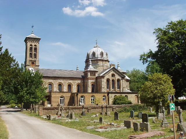
St James Church, Gerrards Cross
Historic churches · 1.5 km

Chalfont Park House
Gardens · 1.7 km
St Mary's School, Gerrards Cross
Memorials & monuments · 1.7 km
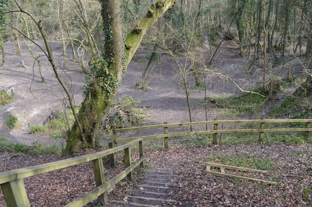
Northmoor Hill Wood
Wildlife reserves · 2.1 km

Northmoor Hill Wood
Battlefields & battle sites · 2.1 km

The Bull Hotel
Hotels · 2.1 km

Bulstrode Park Camp
Archaeological sites · 2.1 km

Bulstrode Park camp
Vineyards · 2.2 km
Nearby
📷 5Memorials & monuments · East of England
Gerrards Cross Memorial Building
Gerrards Cross Memorial Building — Grade II listed building-listed memorial in england-london, United Kingdom.
📷 5Museums · East of England
Gerrards Cross
Gerrards Cross — a museum in england-london, United Kingdom.
📷 5Theatres · South East England
Everyman Gerrards Cross
Everyman Gerrards Cross in England South East, United Kingdom.
📷 5📷 5Historic churches · East of England
St James Church, Gerrards Cross
St James Church, Gerrards Cross — church in Gerrards Cross, Buckinghamshire, England, UK.
📷 5Gardens · East of England
Chalfont Park House
Chalfont Park House — a garden in england-london, United Kingdom.
Where to eat & stay near Chalfont Viaduct
Places to stay
📷 5📷 7Hotels · East of England
The Bull Hotel
The Bull Hotel — a hotel in england london.
 📷 5
📷 5Caravan parks · London
Wyatt's Covert Caravan Site
Wyatt's Covert Caravan Site — a caravan park in england london.
 📷 5
📷 5Campsites · East of England
Paccar Scout Camp
Paccar Scout Camp — a campsite in england west midlands.
 📷 5
📷 5Campsites · East of England
Diogenes Sun Club
Diogenes Sun Club — a campsite in england west midlands.
 📷 5
📷 5Campsites · East of England
Walter Davies Scout Campsite
Walter Davies Scout Campsite — a campsite in england london.
Places to eat & drink
 📷 5
📷 5Restaurants · London
The Green Man
The Green Man — a restaurant in england london.
 📷 5
📷 5 📷 7
📷 7Historic pubs · London
Dog And Duck Public House
Dog And Duck Public House in England London, United Kingdom.
 📷 5
📷 5Historic pubs · London
Crown and Treaty
Crown and Treaty in England London, United Kingdom.
 📷 7
📷 7 📷 5
📷 5More bridges in this region
.JPG?width=1200) 📷 5
📷 5Historic bridges · East of England
Albert Bridge
Albert Bridge is a historic bridge in the United Kingdom.
.jpg?width=1200) 📷 5
📷 5Historic bridges · East of England
Bedford Town Bridge
Bedford Town Bridge is a historic bridge in the United Kingdom.
 📷 5
📷 5Historic bridges · East of England
Bethnal Green and King's Lynn Line
Bethnal Green and King's Lynn Line is a historic bridge in the United Kingdom.
 📷 5
📷 5Historic bridges · East of England
Bethnal Green and King's Lynn Line
Bethnal Green and King's Lynn Line is a historic bridge in the United Kingdom.
Frequently asked questions
- Where is Chalfont Viaduct?
- Chalfont Viaduct is in East of England, United Kingdom (postcode SL9 8DT), in the parish of Gerrards Cross.
- What is Chalfont Viaduct?
- Chalfont Viaduct is a historic bridge in the United Kingdom.
- How do I get to Chalfont Viaduct?
- The nearest railway station is Denham Golf Club, about 1.1 km away. The nearest town is Denham. Drivers can use postcode SL9 8DT.
- Who owns Chalfont Viaduct?
- Chalfont Viaduct is owned by Network Rail.
- Is Chalfont Viaduct a protected site?
- Yes — Chalfont Viaduct is part of the Chilterns National Landscape (AONB).
- Is Chalfont Viaduct free to visit?
- Yes, Chalfont Viaduct is free to enter.
- How do I get to Chalfont Viaduct?
- The nearest railway station is Denham Golf Club, about 1.1 km away. Drivers can navigate to postcode SL9 8DT.