Long-distance walking trails · Mid Wales
Ceredigion Coast Path
Also known as: Llwybr Arfordir Ceredigion
In or near Aberaeron.
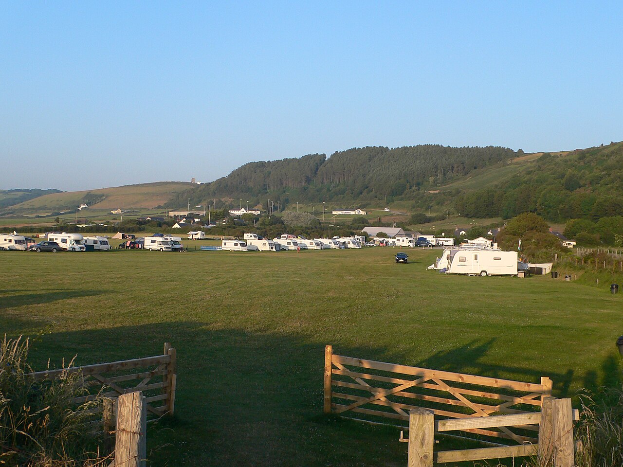
Ceredigion Coast Path in Wales Mid, United Kingdom.

Deborah Tilley — CC BY-SA 2.0 via Wikimedia Commons licence
Plan your visit
- Typical visit
- 1 h–2 h
About
Ceredigion Coast Path is a place of interest in Wales Mid, United Kingdom — drawn from open-data sources for visitor reference. See the linked Wikipedia article for the full description.
Photo gallery
From the Wikipedia article
The Ceredigion Coast Path (Welsh: Llwybr Arfordir Ceredigion) is a waymarked long distance footpath in the United Kingdom, on the coast of Ceredigion, Wales. It is 65 miles (105 km) in length, running along the coast of Cardigan Bay from Cardigan (52.0810°N 4.6608°W / 52.0810; -4.6608 (Ceredigion Coast Path, southern end)) to Ynyslas (52.5271°N 4.0495°W / 52.5271; -4.0495 (Ceredigion Coast Path, northern end)). The path forms one section of the Wales Coast Path, an 870-mile (1,400 km) long-distance walking route around the whole coast of Wales from Chepstow to Queensferry, opened in 2012.
Excerpt from Wikipedia under CC BY-SA 4.0. See the source article linked in Sources below.
Background
History
The Ceredigion Coast Path project was funded under the EU's Objective 1 programme for West Wales and the Valleys. There were previously existing lengthy public rights of way along the coastline, but the scheme allowed for these to be linked together – by creating new public access routes – to make a continuous route. The path was opened throughout in July 2008.
Description
The coast path runs along the Welsh Heritage Coast from Cardigan northwards along Cardigan Bay to Ynyslas near (Borth), a little to the north of Aberystwyth. The official start, in Cardigan, is the bronze otter next to the bridge on the northern bank of the River Teifi.() The end is at the Ynyslas war memorial.() The path crosses a variety of landscapes, such as the dune system at Ynyslas, high cliffs, storm beaches, sandy bays and sea caves. The path passes through small villages and some well-known tourist resorts and offers a close insight into this stretch of coast, recently officially opened up to walkers via this route, some parts of which are still under development. There are four…
Visiting
Although the Ceredigion Coast Path is a long-distance path, it can easily be split into smaller sections. Some of the sections are challenging, given the undulating nature of the path, but some of the flatter sections are quite suitable for walkers of lesser or limited ability. Recently, for instance, work completed between Aberporth and Tresaith has re-routed the path to avoid steps. Also, the Aberporth Inclusive Access Cliff Top Trail is a 1 km high-quality surfaced path built to wheelchair gradient standards. Many of the coastal villages and towns were visited by the Cardi Bach bus service run between Cardigan and New Quay, particularly aimed at walkers. Introduced in 2004, it initially…
Sourced from Wikipedia under CC BY-SA 4.0.
- Coordinates
- 52.2477, -4.2557
- District
- Ceredigion
- Parish
- Aberaeron
- Postcode
- SA46 0JP
- Parliamentary constituency
- Ceredigion Preseli
Sources
- wikidata: Q5064123 (CC0)
- wikipedia: Ceredigion Coast Path (CC BY-SA 4.0)
Other places nearby
Castell Cadwgan
Literary houses · 0.1 km
Castell Cadwgan
Historic houses · 0.2 km
Aeron Coast Caravan Park
Caravan parks · 0.2 km

Alban Square
Other places · 0.5 km

County Hall, Aberaeron
Historic houses · 0.6 km

Aberaeron Hospital
Other places · 0.6 km
.jpg?width=1200)
Castle Hotel
Historic pubs · 0.6 km

Aberaeron
Towns & cities · 0.6 km

The Cellar
Restaurants · 0.6 km
Black Lion
Historic pubs · 0.7 km

Welsh Cob Stallion
Public art & sculpture · 0.7 km

Harbourmaster Hotel
Harbours & ports · 0.7 km
Nearby
📷 5📷 3Historic houses · Mid Wales
Castell Cadwgan
Castell Cadwgan — a historic house in wales-mid, United Kingdom.
📷 5Caravan parks · Mid Wales
Aeron Coast Caravan Park
Aeron Coast Caravan Park — a caravan park in wales mid.
📷 4📷 4Historic houses · Mid Wales
County Hall, Aberaeron
County Hall, Aberaeron in Wales Mid, United Kingdom.
📷 4Where to eat & stay near Ceredigion Coast Path
Places to stay
📷 5Caravan parks · Mid Wales
Aeron Coast Caravan Park
Aeron Coast Caravan Park — a caravan park in wales mid.
 📷 5
📷 5Caravan parks · Mid Wales
Barker's Leisure Caravan Park
Barker's Leisure Caravan Park — a caravan park in wales mid.
 📷 4
📷 4Caravan parks · Mid Wales
Bargoed Farm Caravan Park
Bargoed Farm Caravan Park — a caravan park in wales mid.
 📷 3
📷 3 📷 5
📷 5Caravan parks · Mid Wales
Shawsmead Caravan and Motorhome Club Site
Shawsmead Caravan and Motorhome Club Site — a caravan park in wales mid.
 📷 5
📷 5Caravan parks · Mid Wales
Woodlands Holiday Park
Woodlands Holiday Park — a caravan park in wales mid.
Places to eat & drink
📷 5Historic pubs · Mid Wales
Castle Hotel
Castle Hotel — Historic pub — listed building or notable heritage status.
📷 5📷 3Historic pubs · Mid Wales
Black Lion
Black Lion — Historic pub — listed building or notable heritage status.
 📷 3
📷 3Historic pubs · Mid Wales
The Commercial Inn
The Commercial Inn — Historic pub — listed building or notable heritage status.
 📷 5
📷 5Historic pubs · Mid Wales
Penwig Hotel
Penwig Hotel — Historic pub — listed building or notable heritage status.
 📷 4
📷 4More places in this region
 Flagship📷 4
Long-distance walking trails · Mid Wales
Offa's Dyke Path
177-mile trail along the 8th-century Anglo-Welsh border earthwork.
 📷 4
📷 4Frequently asked questions
- Where is Ceredigion Coast Path?
- Ceredigion Coast Path is in Mid Wales, United Kingdom (postcode SA46 0JP), in the parish of Aberaeron.
- What is Ceredigion Coast Path?
- Ceredigion Coast Path in Wales Mid, United Kingdom.
- How do I get to Ceredigion Coast Path?
- Drivers can use postcode SA46 0JP.
- How do I get to Ceredigion Coast Path?
- Drivers can navigate to postcode SA46 0JP. It sits within the Ceredigion Preseli parliamentary constituency.