Farms (open to visitors) · Mid Wales
Cefn-cerig Road
In or near Llandovery.
Cefn-cerig Road in Wales Mid, United Kingdom.

Bonelli — CC BY-SA 2.0 via Wikimedia Commons licence
Plan your visit
- Typical visit
- 2 h–4 h
- Nearest railway station
- Llandovery · 2.5 km
- Family-friendly
Getting there & planning your visit
To visit Cefn-cerig Road, the nearest railway station is Llandovery, located 2.5 km away. The postcode for sat-nav is SA20 0LZ. Entry details are not specified.
About
Cefn-cerig Road is a place of interest in Wales Mid, United Kingdom — drawn from open-data sources for visitor reference. See the linked Wikipedia article for the full description.
Photo gallery
From the Wikipedia article
The Cefn-cerig road, a road near Cefn-cerig Farm, Llandovery, Wales, is the location of the Global Boundary Stratotype Section and Point (GSSP) which marks the boundary between the Aeronian and Telychian stages of the Silurian period on the geologic time scale. The GSSP was ratified in 1984. The boundary is defined as a point immediately above the highest record of the brachiopod Eocoelia intermedia and below the first appearance of the succeeding species Eocoelia curtisi. The boundary also corresponds to the incoming of the acritarchs Deunffia monospinosa, Domasia bispinosa and Pterospermella. The section, part of the Wormwood Formation, is sandstone and siltstone.
Excerpt from Wikipedia under CC BY-SA 4.0. See the source article linked in Sources below.
- Coordinates
- 51.9757, -3.7844
- District
- Carmarthenshire
- Parish
- Myddfai
- Postcode
- SA20 0LZ
- Parliamentary constituency
- Caerfyrddin
- Nearest railway station
- Llandovery — 2.5 km
Sources
- wikidata: Q5057241 (CC0)
- wikipedia: Cefn-cerig road (CC BY-SA 4.0)
Other places nearby

Afon Gwydderig
Other places · 0.8 km
Llwynywermod
National parks · 0.9 km

Cefn-yr-allt
Mountains & hills · 1.1 km

Perfedd Hundred
Other places · 1.2 km

Pont Felindre
Historic bridges · 2.0 km

Erwlon Caravan & Camping Site
Caravan parks · 2.0 km
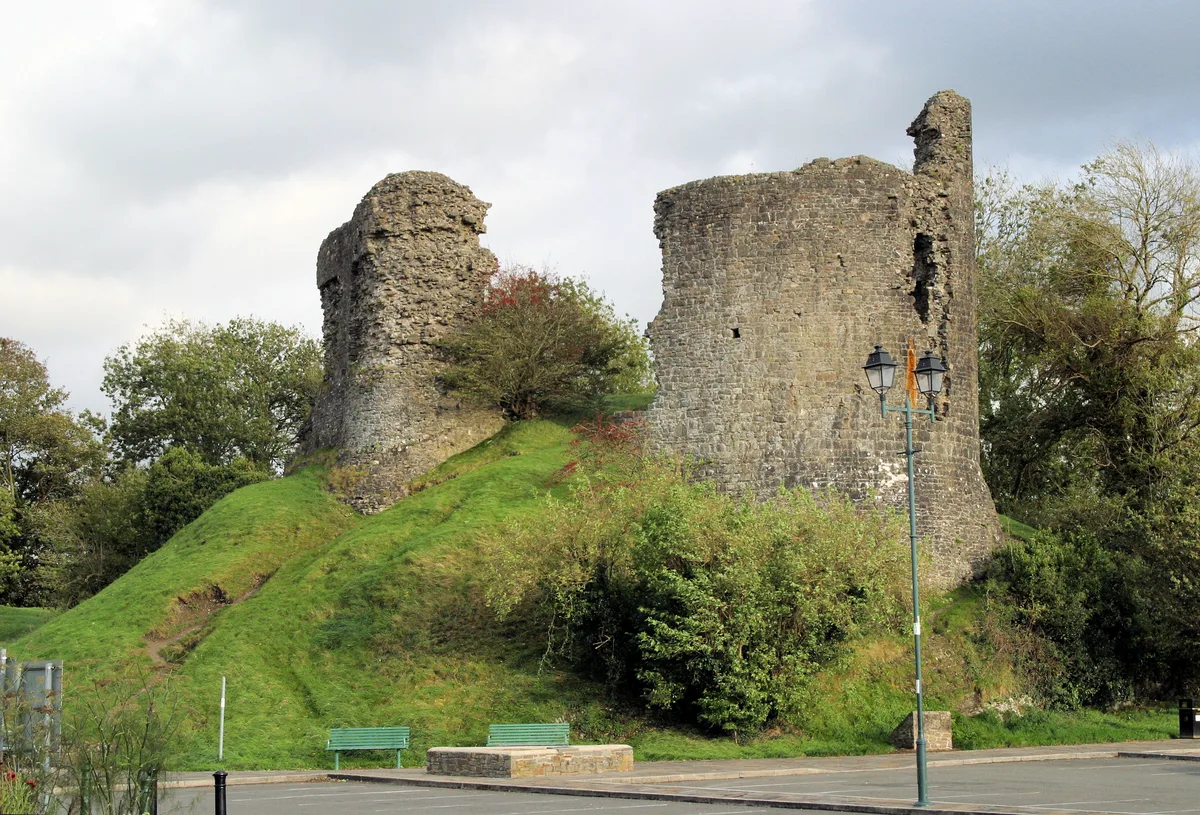
Llandovery Castle
Castles · 2.1 km

Statue of Llywelyn ap Gruffydd Fychan
Public art & sculpture · 2.1 km

Church Of St Dingat
Historic churches · 2.1 km

Llandovery Caravan & Camping Park
Campsites · 2.1 km

Williams Pantycelyn Memorial Church
Memorials & monuments · 2.2 km

Twyn y Fan
Mountains & hills · 2.2 km
Nearby
📷 4📷 4📷 5📷 3📷 5Historic bridges · Mid Wales
Pont Felindre
Pont Felindre — Grade II listed building-listed bridge in wales-south, United Kingdom.
📷 5Caravan parks · Mid Wales
Erwlon Caravan & Camping Site
Erwlon Caravan & Camping Site — a caravan park in wales south.
Where to eat & stay near Cefn-cerig Road
Places to stay
📷 5Caravan parks · Mid Wales
Erwlon Caravan & Camping Site
Erwlon Caravan & Camping Site — a caravan park in wales south.
📷 5Campsites · Mid Wales
Llandovery Caravan & Camping Park
Llandovery Caravan & Camping Park — a campsite in wales south.
 📷 7
📷 7Hotels · Mid Wales
The King's Head
The King's Head — a hotel in wales south.
 📷 5
📷 5Caravan parks · South Wales
Black Mountain Caravan and Camping Park
Black Mountain Caravan and Camping Park — a caravan park in wales south.
 📷 5
📷 5Caravan parks · South Wales
Baron's Court Caravan Park
Baron's Court Caravan Park — a caravan park in wales south.
 📷 5
📷 5Places to eat & drink
 📷 5
📷 5More places in this region
 📷 3
📷 3 📷 3
📷 3 📷 4
📷 4 📷 4
📷 4Frequently asked questions
- Where is Cefn-cerig Road?
- Cefn-cerig Road is in Mid Wales, United Kingdom (postcode SA20 0LZ), in the parish of Myddfai.
- What is Cefn-cerig Road?
- Cefn-cerig Road in Wales Mid, United Kingdom.
- How do I get to Cefn-cerig Road?
- The nearest railway station is Llandovery, about 2.5 km away. Drivers can use postcode SA20 0LZ.
- How do I get to Cefn-cerig Road?
- The nearest railway station is Llandovery, about 2.5 km away. Drivers can navigate to postcode SA20 0LZ.