
Reservoirs & lochs · North East England
Catcleugh Reservoir
In or near Rochester.
Catcleugh Reservoir — lake in the United Kingdom.

Wikimedia Commons contributors — see linked file page for photographer and licence licence

Plan your visit
- Typical visit
- 1 h–2.5 h
- Free entry
- Dog-friendly
About
Catcleugh Reservoir is a reservoir in the United Kingdom. Wikidata describes it as: "lake in the United Kingdom". Coordinates: 55.3240°, -2.4180°.
Photo gallery
Protected designations
- Site of Special Scientific Interest: Kielderhead and Emblehope Moors SSSI
Designations sourced from Natural England open data under OGL v3.
From the Wikipedia article
Catcleugh Reservoir is a reservoir in Northumberland, England, adjacent to the A68 road just north of Byrness and to the southeast of the border with Scotland. It has a surface area of 98.654 ha and a mean depth of 9.8 m, a catchment area of 4007.5 ha, and is situated at 247 m altitude.
Excerpt from Wikipedia under CC BY-SA 4.0. See the source article linked in Sources below.
Background
History
The reservoir was constructed between 1884 and 1905 for the Newcastle and Gateshead Water Company. The reservoir forms part of a series of reservoirs along the A68, which are connected by tunnels and aqueducts from Catcleugh Reservoir to Whittle Dene; from where drinking water is supplied to Newcastle upon Tyne, Gateshead, and some surrounding areas. The reservoirs that form the chain are, from northwest to southeast: Catcleugh Reservoir → Colt Crag Reservoir → Little Swinburne Reservoir → Hallington Reservoirs → Whittle Dene. The reservoir is fed by the River Rede. The steam shovel was a large factor in building this reservoir as it could easily do the work of many men.
Sourced from Wikipedia under CC BY-SA 4.0.
- Coordinates
- 55.3240, -2.4180
- District
- Northumberland
- Parish
- Rochester
- Postcode
- NE19 1TY
- Parliamentary constituency
- Hexham
Sources
- wikidata: Q5051774 (CC0)
- wikipedia: Catcleugh Reservoir (CC BY-SA 4.0)
- commons: Catcleugh Reservoir - geograph.org.uk - 1628740.jpg (CC BY-SA 4.0)
Other places nearby

Catcleugh Reservoir
Reservoirs & lochs · 0.8 km

Ramshope
National parks · 1.1 km

Catcleugh
Villages · 1.1 km

Lumsdon Law
Mountains & hills · 2.2 km

Hungry Law
Mountains & hills · 3.0 km
Hungry Law
Mountains & hills · 3.0 km

Byrness
Memorials & monuments · 3.0 km

Whitelee Moor
Wildlife reserves · 3.6 km

Leap Hill
Mountains & hills · 3.7 km

River Rede
Reservoirs & lochs · 3.8 km

Arks Edge
Mountains & hills · 4.2 km
Wooplaw Edge
Mountains & hills · 4.3 km
Nearby
📷 5Reservoirs & lochs · North East England
Catcleugh Reservoir
Catcleugh Reservoir — a reservoir in scotland lowlands.
📷 5📷 5Mountains & hills · North East England
Lumsdon Law
Lumsdon Law — a hill or mountain in scotland lowlands.
📷 5Mountains & hills · North East England
Hungry Law
Hungry Law — a hill or mountain in scotland lowlands.
📷 5Mountains & hills · North East England
Hungry Law
Hungry Law — mountain in scotland lowlands. Elevation: 500 m.
Where to eat & stay near Catcleugh Reservoir
Places to stay
 📷 5
📷 5Caravan parks · North East England
Border Forest Caravan Park
Border Forest Caravan Park — a caravan park in scotland lowlands.
 📷 5
📷 5Caravan parks · North East England
Ravenshill Forest Park
Ravenshill Forest Park — a caravan park in scotland lowlands.
 📷 5
📷 5Campsites · North East England
Kielder Campsite
Kielder Campsite — a campsite in scotland lowlands.
 📷 5
📷 5Caravan parks · North East England
Jedwater Caravan Park
Jedwater Caravan Park — a caravan park in scotland lowlands.
 📷 5
📷 5Campsites · North East England
Scout Adventures Hawkhirst
Scout Adventures Hawkhirst — a campsite in scotland lowlands.
 📷 5
📷 5Hotels · North East England
William de Percy
William de Percy — a hotel in scotland lowlands.
Places to eat & drink
 📷 5
📷 5Historic pubs · North East England
The Redesdale Arms
The Redesdale Arms in Scotland Lowlands, United Kingdom.
 📷 7
📷 7More places in this region
 📷 2
📷 2Reservoirs & lochs · North East England
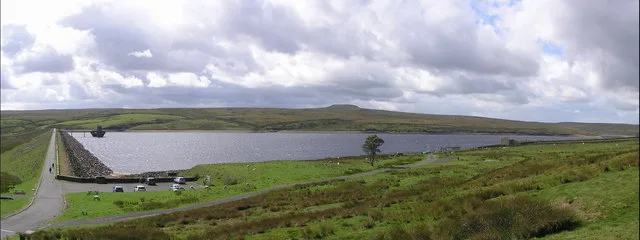
Balderhead Reservoir
Balderhead Reservoir — reservoir in County Durham, England, UK.
 📷 3
📷 3Reservoirs & lochs · North East England
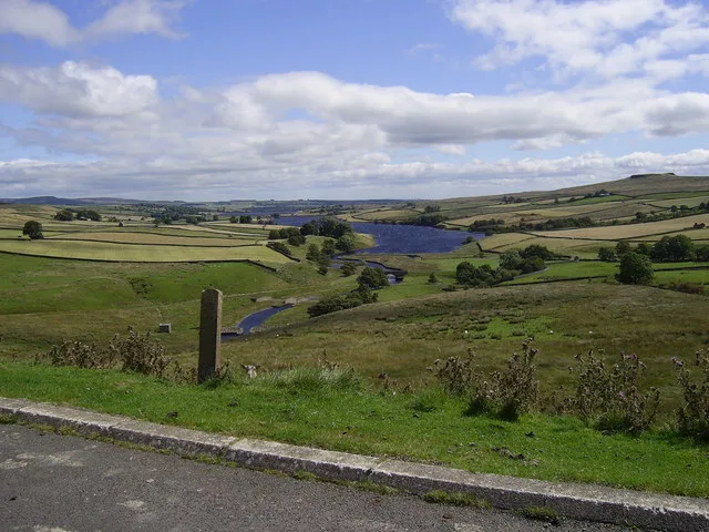
Blackton Reservoir
Blackton Reservoir — reservoir in County Durham, England, UK.
 📷 5
📷 5Reservoirs & lochs · North East England
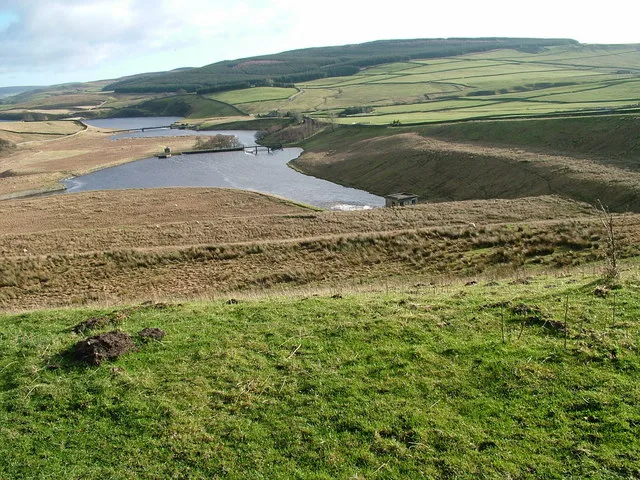
Grassholme Reservoir
Grassholme Reservoir — reservoir in County Durham, England, UK.
 📷 3
📷 3Reservoirs & lochs · North East England
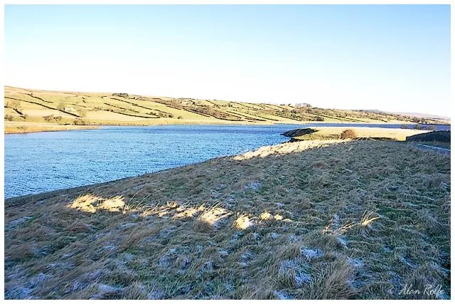
Hury Reservoir
Hury Reservoir — reservoir in County Durham, England, UK.
Frequently asked questions
- Where is Catcleugh Reservoir?
- Catcleugh Reservoir is in the Scottish Lowlands, United Kingdom (postcode NE19 1TY), in the parish of Rochester.
- What is Catcleugh Reservoir?
- Catcleugh Reservoir — lake in the United Kingdom.
- How do I get to Catcleugh Reservoir?
- Drivers can use postcode NE19 1TY.
- Is Catcleugh Reservoir a protected site?
- Yes — Catcleugh Reservoir is part of the Kielderhead and Emblehope Moors SSSI Site of Special Scientific Interest.
- Is Catcleugh Reservoir free to visit?
- Yes, Catcleugh Reservoir is free to enter.
- How do I get to Catcleugh Reservoir?
- Drivers can navigate to postcode NE19 1TY. It sits within the Hexham parliamentary constituency.