
Mountains & hills · North West England
Cat Bells
In or near Grange in Borrowdale.
Cat Bells — Named summit at 451 m.

Wikimedia Commons contributors — see linked file page for photographer and licence licence

Plan your visit
- Typical visit
- 3 h–8 h
- Best time of year
- Late spring – early autumn (May–Oct)
- Nearest railway station
- Threlkeld Quarry · 9.3 km
- Free entry
- Dog-friendly
Getting there & planning your visit
To visit Cat Bells, the nearest railway station is Threlkeld Quarry, located 9.3 km away. The postcode for navigation is CA12 5TU, and entry is free.
About
Cat Bells is a named summit in the United Kingdom. Wikidata describes it as: "Named summit at 451 m.". Coordinates: 54.5684°, -3.1707°.
Photo gallery
360° viewimagery from 2022
Imagery © Mapillary contributors, CC BY-SA 4.0
Protected designations
- Site of Special Scientific Interest: River Derwent and Tributaries SSSI
- Site of Special Scientific Interest: Buttermere Fells SSSI
- National Nature Reserve: BORROWDALE RAINFOREST
Designations sourced from Natural England open data under OGL v3.
From the Wikipedia article
Cat Bells is a fell in the English Lake District in the county of Cumbria. It has a height of 451 metres (1,480 ft) and is one of the most popular fells in the area. It is situated on the western shore of Derwentwater within three miles (five kilometres) of the busy tourist town of Keswick. Its distinctive shape catches the attention of many visitors to the Lakes who feel compelled to climb to the summit after seeing it from the viewpoint of Friars' Crag on the opposite side of Derwentwater. The Lake District writer and walker Alfred Wainwright acknowledges the popularity of Cat Bells among fellwalkers of all abilities by saying:"It is one of the great favourites, a family fell where grandmothers and infants can climb the heights together, a place beloved. Its popularity is well deserved: its shapely topknott attracts the eye offering a steep but obviously simple scramble."
Excerpt from Wikipedia under CC BY-SA 4.0. See the source article linked in Sources below.
- Coordinates
- 54.5684, -3.1707
- District
- Cumberland
- Parish
- Above Derwent
- Postcode
- CA12 5TU
- Parliamentary constituency
- Penrith and Solway
- Nearest railway station
- Threlkeld Quarry — 9.3 km
Sources
- osm: n29954492 (ODbL)
- wikipedia: Cat Bells (CC BY-SA 4.0)
- commons: Catbells Northern Ascent, Lake District - June 2009.jpg (CC BY-SA 4.0)
Other places nearby
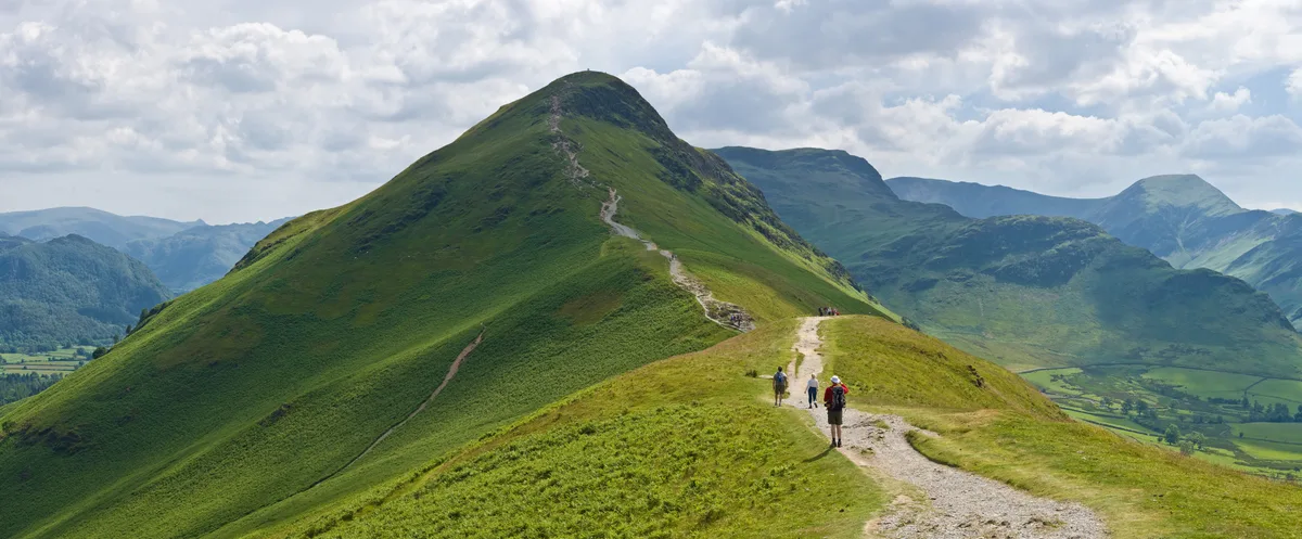
Catbells
Natural landmarks · 0.0 km

Skelgill Bank
Mountains & hills · 0.7 km

Sir Hugh Walpole OBE
Memorials & monuments · 0.8 km

Thomas Arthur Leonard
Memorials & monuments · 1.0 km

Entrust
Wildlife reserves · 1.1 km

YHA Hawse End Cottage
Hostels · 1.3 km

Low Manesty Caravan Park
Caravan parks · 1.5 km
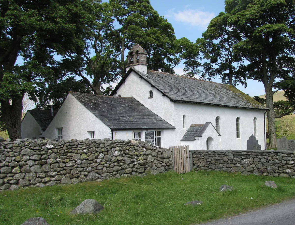
Newlands Church
Historic churches · 1.5 km

Salt Spring
Viewpoints · 1.6 km

Stair Bridge
Historic bridges · 1.6 km
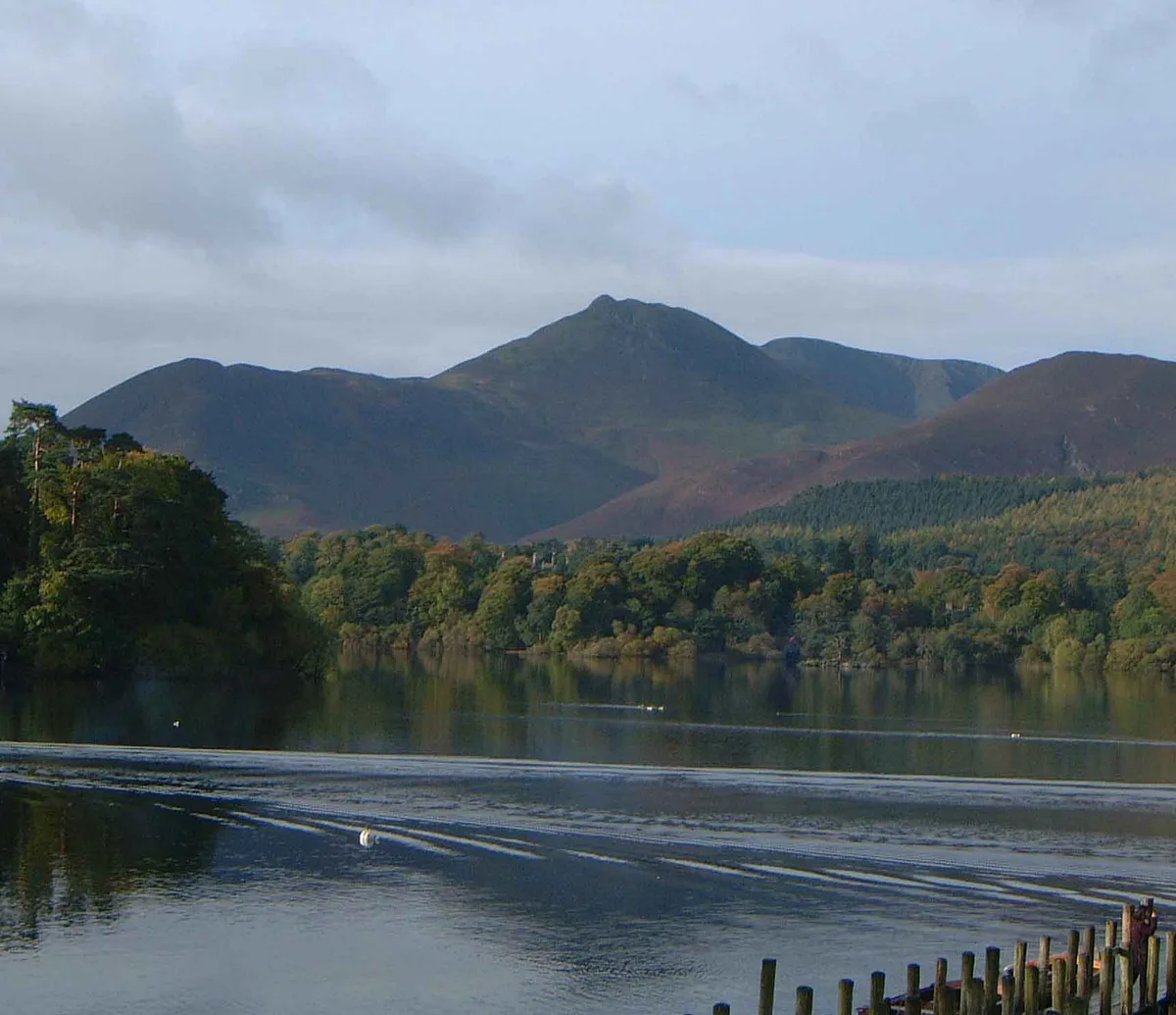
Rowling End
Mountains & hills · 1.7 km
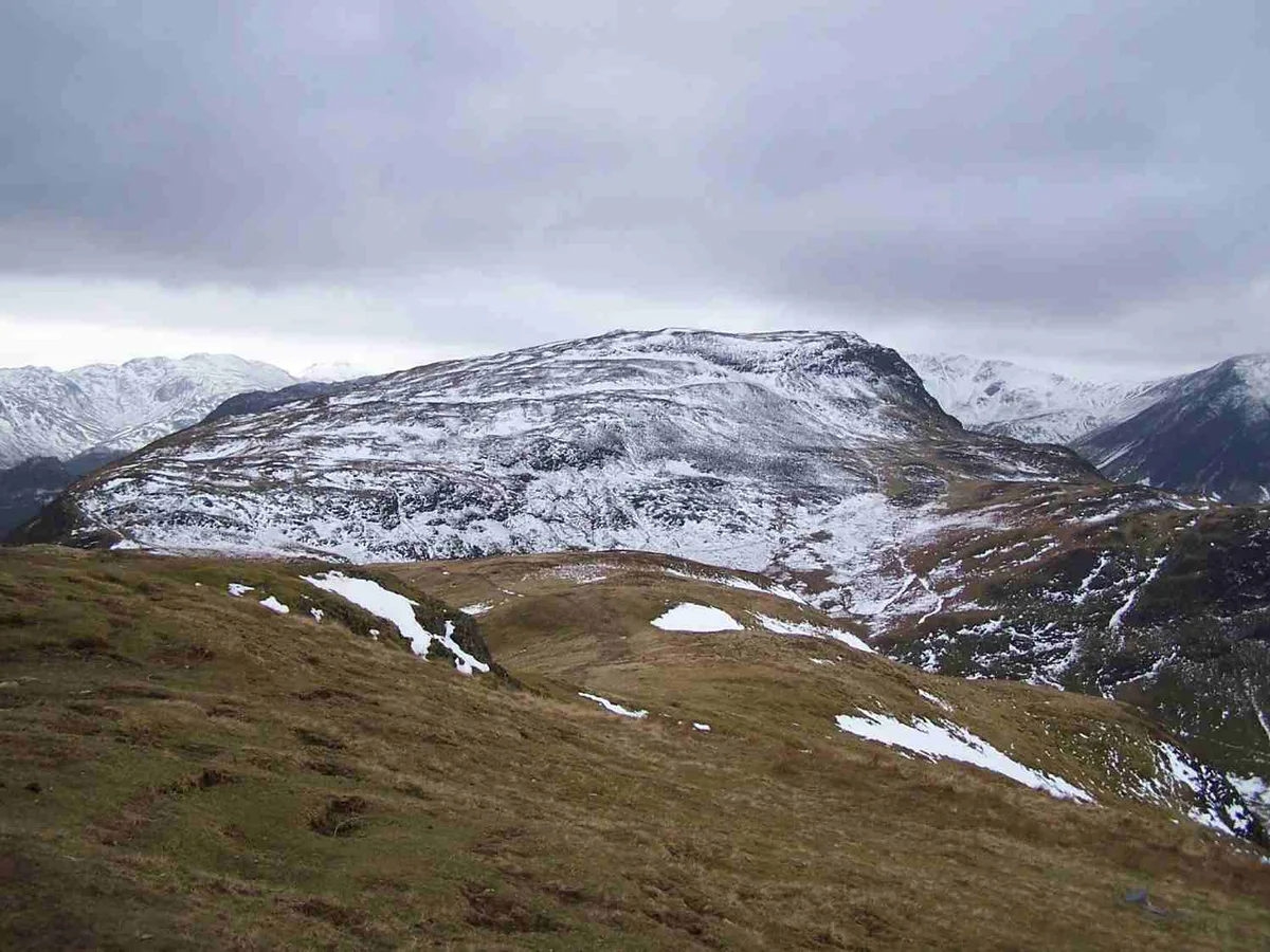
Maiden Moor
Mountains & hills · 1.8 km
Nearby
📷 5📷 5Mountains & hills · North West England
Skelgill Bank
Skelgill Bank — mountain in england north east. Elevation: 338 m.
📷 3Memorials & monuments · North West England
Sir Hugh Walpole OBE
Sir Hugh Walpole OBE — a memorial in North West England, United Kingdom.
📷 3Memorials & monuments · North West England
Thomas Arthur Leonard
Thomas Arthur Leonard — a memorial in North West England, United Kingdom.
📷 3📷 5Hostels · North West England
YHA Hawse End Cottage
YHA Hawse End Cottage — a hostel in england north east.
Where to eat & stay near Cat Bells
Places to stay
📷 5Hostels · North West England
YHA Hawse End Cottage
YHA Hawse End Cottage — a hostel in england north east.
📷 5Caravan parks · North West England
Low Manesty Caravan Park
Low Manesty Caravan Park — a caravan park in england north east.
 📷 5
📷 5Hostels · North West England
Derwentwater Independent Hostel
Derwentwater Independent Hostel — a hostel in england north east.
 📷 5
📷 5Campsites · North West England
Keswick Scouts Ashness Hut
Keswick Scouts Ashness Hut — a campsite in england north east.
 📷 5
📷 5Campsites · North West England
Hollows Farm Campsite
Hollows Farm Campsite — a campsite in england north east.
 📷 5
📷 5Caravan parks · North West England
Keswick Camping and Caravanning Club Site
Keswick Camping and Caravanning Club Site — a caravan park in scotland lowlands.
Places to eat & drink
 📷 7
📷 7Cafés · North West England
Grange Bridge Cottage
Grange Bridge Cottage — a café in england north east.
 📷 5
📷 5 📷 7
📷 7Historic pubs · North West England
The Pheasant Inn
The Pheasant Inn in Scotland Lowlands, United Kingdom.
 📷 7
📷 7Historic pubs · North West England
The Travellers Rest
The Travellers Rest in England North West, United Kingdom.
 📷 5
📷 5Historic pubs · North West England
Golden Rule Hotel
Golden Rule Hotel in England North West, United Kingdom.
 📷 4
📷 4Historic pubs · North West England
Oddfellows Arms
Oddfellows Arms — Historic pub — listed building or notable heritage status.
More mountains in this region
 📷 5
📷 5Mountains & hills · North West England
Appleton Park
Appleton Park — a hill or mountain in england west midlands.
 📷 5
📷 5Mountains & hills · North West England
High Warren
High Warren — mountain in england west midlands. Elevation: 105 m.
 📷 5
📷 5Mountains & hills · North West England
Alderley Edge
Alderley Edge — mountain in england west midlands. Elevation: 194 m.
 📷 3
📷 3Frequently asked questions
- Where is Cat Bells?
- Cat Bells is in North-West England, United Kingdom (postcode CA12 5TU), in the parish of Above Derwent.
- What is Cat Bells?
- Cat Bells — Named summit at 451 m.
- How do I get to Cat Bells?
- The nearest railway station is Threlkeld Quarry, about 9.3 km away. The nearest town is Grange in Borrowdale. Drivers can use postcode CA12 5TU.
- Is Cat Bells a protected site?
- Yes — Cat Bells is part of the River Derwent and Tributaries SSSI Site of Special Scientific Interest and the Buttermere Fells SSSI Site of Special Scientific Interest.
- Is Cat Bells free to visit?
- Yes, Cat Bells is free to enter.
- How do I get to Cat Bells?
- Drivers can navigate to postcode CA12 5TU. It sits within the Penrith and Solway parliamentary constituency.