
Mountains & hills · North Wales
Castell Y Gwynt
In or near Q1638504.
Castell Y Gwynt — Named summit at 972 m.

Wikimedia Commons contributors — see linked file page for photographer and licence licence

Plan your visit
- Typical visit
- 3 h–8 h
- Best time of year
- Late spring – early autumn (May–Oct)
- Nearest railway station
- Clogwyn · 5.1 km
- Free entry
- Dog-friendly
Getting there & planning your visit
To visit Castell Y Gwynt, the nearest railway station is Clogwyn, which is 5.1 km away. Entry to the site is free.
About
Castell Y Gwynt is a named summit in the United Kingdom. Wikidata describes it as: "Named summit at 972 m.". Coordinates: 53.1037°, -4.0121°.
Photo gallery
From the Wikipedia article
Castell y Gwynt (English: Castle of the Wind) is a top of Glyder Fach in Snowdonia, north-west Wales. It has the distinction of being the only 3000 ft Welsh summit classed as only a Nuttall, hence it is not included in the Welsh 3000s. It has a prominence of 15.7 m (51.5 ft), and was only included on the Nuttall's list after re-surveying in 2007. The top is more famous as a feature than a summit. Castell y Gwynt and the "Cantilever Stone" featured in the 1981 film Dragonslayer.
Excerpt from Wikipedia under CC BY-SA 4.0. See the source article linked in Sources below.
- Coordinates
- 53.1037, -4.0121
- Address
- Snowdonia, Wales
- Nearest railway station
- Clogwyn — 5.1 km
Sources
- osm: n976215383 (ODbL)
- wikipedia: Castell y Gwynt (CC BY-SA 4.0)
- commons: Castell Y Gwynt on Glyder Fach 2.jpg (CC BY-SA 4.0)
Other places nearby
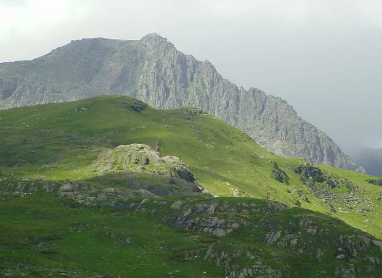
Glyder Fach
Natural landmarks · 0.3 km
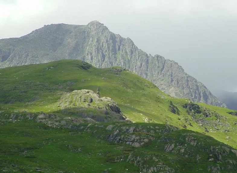
Glyder Fach
Mountains & hills · 0.3 km

Llyn Bochlwyd
Lakes · 1.1 km
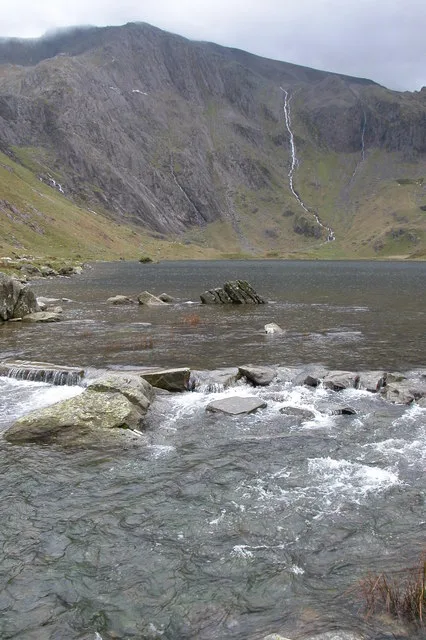
Glyder Fawr
Mountains & hills · 1.2 km
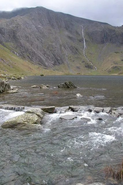
Glyder Fawr
Natural landmarks · 1.2 km

Bryn Tryfan
Mountains & hills · 1.3 km

Tryfan Far South Peak
Mountains & hills · 1.3 km
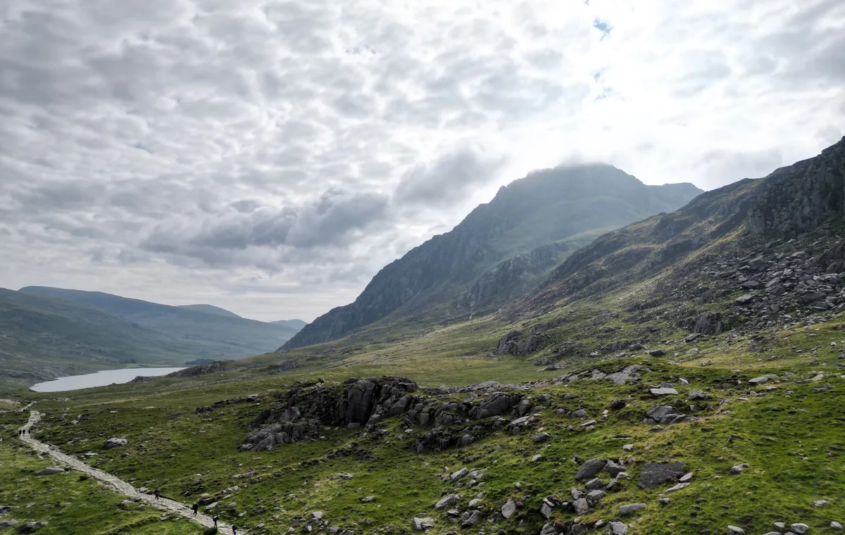
Tryfan
Mountains & hills · 1.6 km
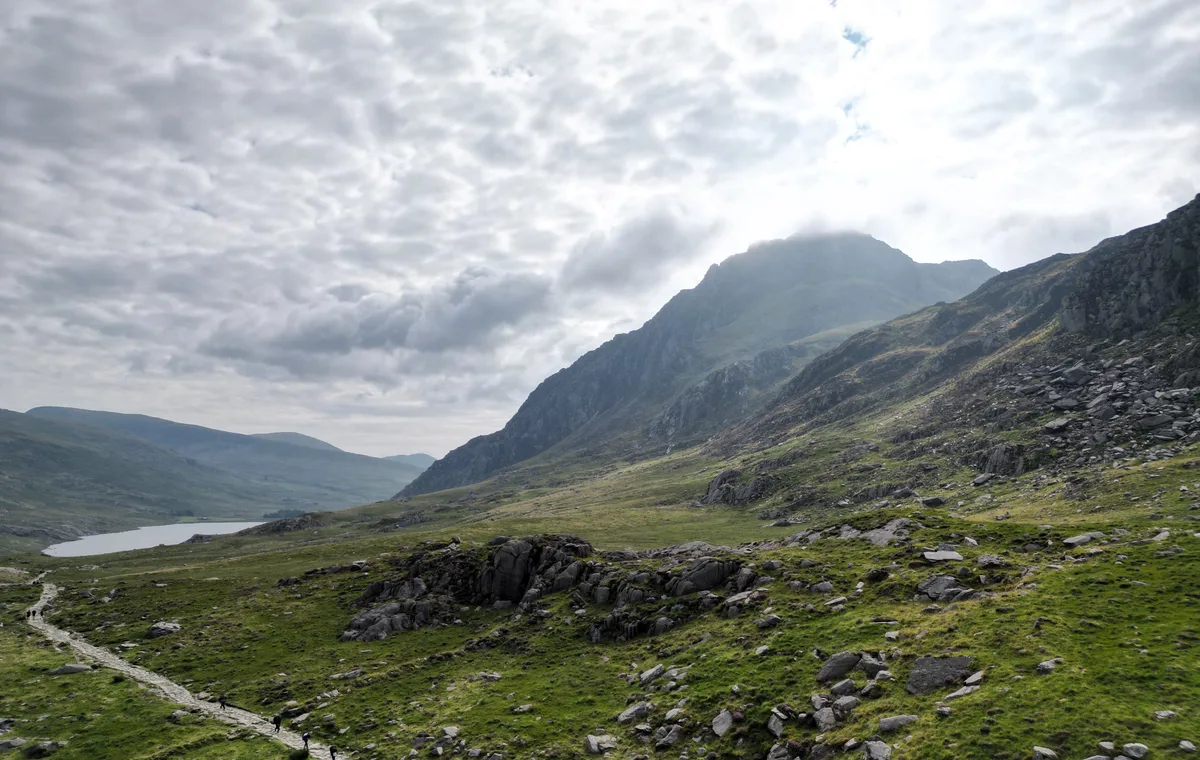
Tryfan
Natural landmarks · 1.6 km
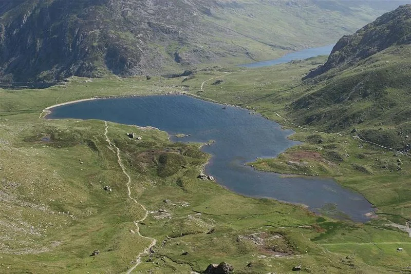
Llyn Idwal
Natural landmarks · 1.6 km

Twll Du
Viewpoints · 1.6 km

Devil's Appendix
Waterfalls · 1.7 km
Nearby
📷 5Natural landmarks · North Wales
Glyder Fach
Glyder Fach — mountain (994.3m) in Conwy County Borough.
📷 5📷 5📷 3📷 3📷 5Where to eat & stay near Castell Y Gwynt
Places to stay
 📷 5
📷 5Hostels · North Wales
Idwal Cottage Youth Hostel
Idwal Cottage Youth Hostel — a hostel in wales north. Brand: Youth Hostels Association.
 📷 5
📷 5 📷 5
📷 5Hostels · North Wales
Yr Hafod Welsh Scout Centre
Yr Hafod Welsh Scout Centre — a hostel in wales north.
 📷 7
📷 7 📷 5
📷 5Hostels · North Wales
Snowdon Pen-y-Pass Youth Hostel
Snowdon Pen-y-Pass Youth Hostel — a hostel in wales north.
 📷 5
📷 5Campsites · North Wales
Gwern Gof Uchaf Campsite
Gwern Gof Uchaf Campsite — a campsite in wales north.
Places to eat & drink
 📷 5
📷 5 📷 7
📷 7Restaurants · North Wales
Tafarn Tryfan
Tafarn Tryfan — a restaurant in wales north.
 📷 6
📷 6 📷 5
📷 5 📷 5
📷 5 📷 5
📷 5More mountains in this region
 📷 5
📷 5Mountains & hills · North Wales
Cemlyn Bay and lagoon
Cemlyn Bay and lagoon — Site of Special Scientific Interest in Wales.
 📷 3
📷 3Mountains & hills · North Wales
Aberffraw Bay
Aberffraw Bay — bay on the west coast of Anglesey, in Wales, UK.
 📷 3
📷 3 📷 3
📷 3Mountains & hills · North Wales
Aran Benllyn
Aran Benllyn — Named summit at 884 m.
Frequently asked questions
- Where is Castell Y Gwynt?
- Castell Y Gwynt is in North Wales, United Kingdom.
- What is Castell Y Gwynt?
- Castell Y Gwynt — Named summit at 972 m.
- How do I get to Castell Y Gwynt?
- The nearest railway station is Clogwyn, about 5.1 km away. The nearest town is Q1638504. Its coordinates are 53.1037°, -4.0121°.
- Is Castell Y Gwynt free to visit?
- Yes, Castell Y Gwynt is free to enter.
- How do I get to Castell Y Gwynt?
- The nearest railway station is Clogwyn, about 5.1 km away.