Harbours & ports · South West England
Carrick Roads
Carrick Roads — estuary in Cornwall, England, UK.

Wikimedia Commons contributors — see linked file page for photographer and licence licence
Plan your visit
- Typical visit
- 45 min–1.5 h
- Nearest railway station
- Falmouth Docks · 1.5 km
- Family-friendly
- Dog-friendly
About
Carrick Roads is a harbour in the United Kingdom. Wikidata describes it as: "estuary in Cornwall, England, UK". Coordinates: 50.1533°, -5.0356°.
Photo gallery
Protected designations
- Site of Special Scientific Interest: Lower Fal & Helford Intertidal SSSI
- Area of Outstanding Natural Beauty: Cornwall
Designations sourced from Natural England open data under OGL v3.
From the Wikipedia article
Carrick Roads (Cornish: Morlynn an Garrek, meaning lagoon of the rock) is the estuary of the River Fal on the south coast of Cornwall in England. It joins the English Channel at its southern end near Falmouth.
Excerpt from Wikipedia under CC BY-SA 4.0. See the source article linked in Sources below.
- Coordinates
- 50.1533, -5.0356
- District
- Cornwall
- Parish
- St. Just-in-Roseland
- Postcode
- TR2 5DE
- Parliamentary constituency
- Truro and Falmouth
- Nearest railway station
- Falmouth Docks — 1.5 km
Sources
- wikidata: Q1045001 (CC0)
- wikipedia: Carrick Roads (CC BY-SA 4.0)
- commons: TruroFalmouthAerial.jpg (CC BY-SA 4.0)
Other places nearby
Loading nearby places…
Nearby
 📷 3
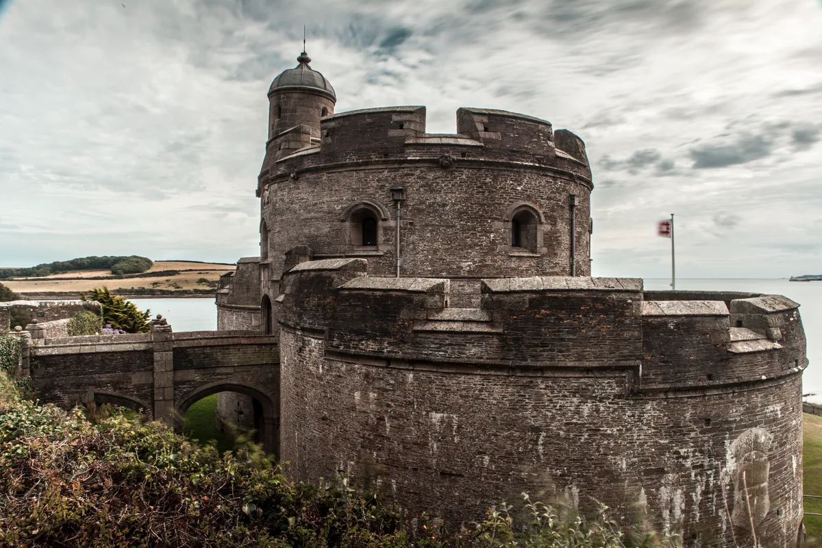
📷 3Castles · South West England
St Mawes Castle
St Mawes Castle — castle in Cornwall built in the 16th century.
 📷 3
📷 3Historic houses · South West England
St. Mawes Coastal Battery
St. Mawes Coastal Battery — a historic house in england-south-west, United Kingdom.
Vineyards · South West England
Pendennis peninsula fortifications
Pendennis peninsula fortifications — a UK vineyard in england south west, producing English or Welsh wine from cool-climate grape varieties.
 📷 3
📷 3Museums · South West England
Pendennis Castle Museum
Pendennis Castle Museum — a museum in england-south-west, United Kingdom.
📷 5Castles · South West England
Pendennis Castle
Pendennis Castle (Cornish: Kastel Penndinas) is an artillery fort constructed by Henry VIII near Falmouth, Cornwall, England between 1540 and 1542. It formed part of the King's Device programme to pro
 📷 3
📷 3Castles · South West England
Little Dennis
Little Dennis — a castle in england-south-west, United Kingdom.
More places in this region
 📷 5
📷 5Harbours & ports · South West England
Axmouth harbour
Axmouth harbour — harbour at Axmouth, Devon, England, UK.
 📷 5
📷 5Harbours & ports · South West England
Brixham Harbour
Brixham Harbour — harbour and fishing port in Devon, England.
.jpg?width=1200) 📷 5
📷 5Harbours & ports · South West England
Clovelly harbour
Clovelly harbour — harbour in Devon, UK.
 📷 5
📷 5Harbours & ports · South West England
Dartmouth Harbour
Dartmouth Harbour — natural harbour on the River Dart in Devon, England.
Frequently asked questions
- Where is Carrick Roads?
- Carrick Roads is in South-West England, United Kingdom (postcode TR2 5DE), in the parish of St. Just-in-Roseland.
- Is Carrick Roads a protected site?
- Yes — Carrick Roads is part of the Lower Fal & Helford Intertidal SSSI Site of Special Scientific Interest and the Cornwall National Landscape (AONB).
- How do I get to Carrick Roads?
- The nearest railway station is Falmouth Docks, about 1.5 km away. Drivers can navigate to postcode TR2 5DE.