
Historic bridges · Central Scotland
Carrat Burn
In or near Blair Drummond.
Carrat Burn — category C listed building-listed bridge in scotland-central, United Kingdom.

John Firth — CC BY-SA 2.0 via Wikimedia Commons licence

Plan your visit
- Typical visit
- 15 min–30 min
- Nearest railway station
- Bridge of Allan · 3.2 km
- Free entry
- Dog-friendly
Getting there & planning your visit
To visit Carrat Burn, the nearest railway station is Bridge of Allan, which is 3.2 km away. The postcode for navigation is FK9 4UN, and entry is free.
About
Carrat Burn is a category C listed building-listed bridge in scotland-central, United Kingdom, registered on the Historic Environment Scotland register (entry LB48976). Listed status protects buildings and structures of special architectural or historic interest. See the linked Wikipedia article for further details.
Photo gallery
Heritage listing
Category C Date Added 13/11/2002 Local Authority Stirling Planning Authority Stirling Parish Kincardine (Stirling) NGR NS 75376 96976 Coordinates 275376, 696976 — Early and later 18th century. Two adjacent single span, semicircular arch, rubble-built bridges with squared rubble-built bridges with squared rubble voussoirs. Early 18th century packhorse bridge (1.2m wide; 3.4m span) with later 18th bridge (3m wide; 4.7 span) adjacently situated to NE creating single bridge (4.2m) to carry coaches. — It is likely that the first packhorse bridge was erected after George Drummond (1638-1717) purchased th barony of Blair Drummond in 1714. The bridge, which crosses the Carrat Burn on its way to join the river below Ochertyre, is shown on W Winter's 1754 estate plan for George Drummond of Blair Drummond, John Ramsay, owner of neighbouring Ochtertyre, wrote of loads of coal and lime being brought to his estate on packhorses, suggesting that at this time the bridge at Saughs was a simple packhorse bridge. By 1773 the Drip [Old] Bridge (to S on road to Stirling - see separate listing) was built by subscription on the initiative of Henry Home, Lord Kames (1696-1792), the enlightened laird of Blair Drummond, enabling him to cross the Forth on his carriage. It is thought likely that the packhorse bridge at Saughs was thus widened to allow coach access to the Blair Drummond estate which would still have been part of the King's Highway. A further survey of the Blair Drummond estate by Kyles in 1805 indicates that by this date the present line of the A84 had been established between the Drip [Old] Bridge and the boundary of the Ochtertyre estate, by-passing the bridge at Saughs. The bridge is currently overcome with vegetation and some voussoirs are missing to the base of the NE arch mak
From Historic Environment Scotland under OGL v3.
Place summary
Carrat Burn is a bridge located in central Scotland. It is designated as a category C listed building, indicating its historical significance.
AI-generated from the structured facts on this page (operator, designation, listing, era). Not a substitute for visiting.
- Coordinates
- 56.1491, -4.0076
- District
- Stirling
- Postcode
- FK9 4UN
- Parliamentary constituency
- Stirling and Strathallan
- Nearest railway station
- Bridge of Allan — 3.2 km
Sources
- wikidata: Q126733869 (CC0)
Other places nearby

Blairdrummond School
Historic houses · 1.7 km

River Teith
Other places · 1.7 km

Jumping Pillow
Natural landmarks · 1.8 km

Mini Go Karts (pedal powered)
Natural landmarks · 1.8 km
Briarlands Farm
Theme parks · 1.9 km
Tractor Go Karts
Natural landmarks · 1.9 km

Tyre Maze
Natural landmarks · 1.9 km
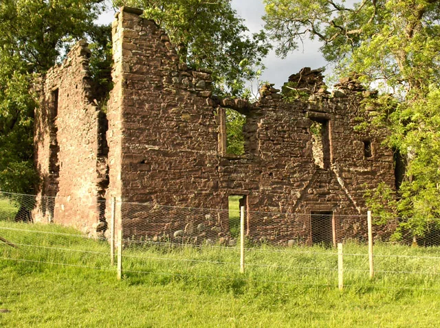
Arnhall Castle
Castles · 1.9 km

Lecropt
Historic bridges · 1.9 km

Drip Bridge
Historic bridges · 2.1 km
Mill Of Torr, Blair Drummond House
Watermills · 2.2 km
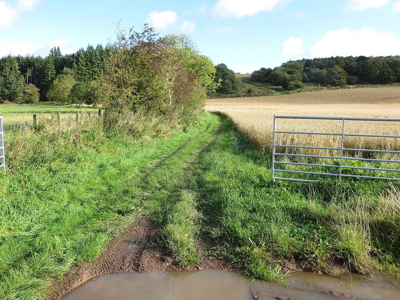
Easter Row
Vineyards · 2.3 km
Nearby
📷 3Historic houses · Central Scotland
Blairdrummond School
Blairdrummond School — school building converted to house in Kincardine parish, Stirling, Scotland, UK.
📷 5📷 3Natural landmarks · Central Scotland
Jumping Pillow
Jumping Pillow — a other in scotland-central, United Kingdom.
📷 3Natural landmarks · Central Scotland
Mini Go Karts (pedal powered)
Mini Go Karts (pedal powered) — a other in scotland-central, United Kingdom.
📷 3Theme parks · Central Scotland
Briarlands Farm
Briarlands Farm — a theme park in scotland-central, United Kingdom.
📷 3Natural landmarks · Central Scotland
Tractor Go Karts
Tractor Go Karts — a natural landmark in scotland-central, United Kingdom.
Where to eat & stay near Carrat Burn
Places to stay
 📷 5
📷 5Campsites · Central Scotland
Blair Drummond Caravan Park
Blair Drummond Caravan Park — a campsite in scotland central.
 📷 5
📷 5Caravan parks · Central Scotland
Ashmill Caravan Site
Ashmill Caravan Site — a caravan park in scotland central.
 📷 5
📷 5Hostels · Central Scotland
Stirling Youth Hostel
Stirling Youth Hostel — a hostel in scotland central.
 📷 5
📷 5Hotels · Central Scotland
Stirling Court Hotel
Stirling Court Hotel — a hotel in scotland central.
 📷 5
📷 5Hostels · Central Scotland
William Wallace Hotel
William Wallace Hotel — a hostel in scotland central.
 📷 6
📷 6Hotels · Central Scotland
DoubleTree by Hilton Hotel Dunblane Hydro
DoubleTree by Hilton Hotel Dunblane Hydro — a hotel in scotland central. 4-star. Brand: DoubleTree.
Places to eat & drink
 📷 6
📷 6Historic pubs · Central Scotland
Westerton Arms, 34 Henderson Street, Bridge of Allan
Westerton Arms, 34 Henderson Street, Bridge of Allan in Scotland Central, United Kingdom.
 📷 6
📷 6Historic pubs · Central Scotland
The Gothenburg
The Gothenburg in Scotland Islands, United Kingdom.
 📷 7
📷 7Historic pubs · Central Scotland
Johnstone Arms Hotel, 48 Stirling Street, Alva
Johnstone Arms Hotel, 48 Stirling Street, Alva in Scotland Central, United Kingdom.
 📷 5
📷 5Historic pubs · Central Scotland
Dennyloanhead
Dennyloanhead in Scotland Islands, United Kingdom.
 📷 7
📷 7Historic pubs · Central Scotland
Ye Olde House Inn, 25-26 Forth Street, Kincardine On Forth
Ye Olde House Inn, 25-26 Forth Street, Kincardine On Forth in Scotland Central, United Kingdom.
 📷 5
📷 5Historic pubs · Central Scotland
The Masonic Arms, 62 Main Street, Cumbernauld Village
The Masonic Arms, 62 Main Street, Cumbernauld Village in Scotland Central, United Kingdom.
More bridges in this region
 📷 3
📷 3Historic bridges · Central Scotland
Kelloe House
Kelloe House in England North East, United Kingdom.
 📷 4
📷 4Historic bridges · Central Scotland
Chirnsidebridge
Chirnsidebridge in England North East, United Kingdom.
 📷 3
📷 3.jpg?width=1200) 📷 3
📷 3Historic bridges · Central Scotland
Achnamara Clapper Bridge
Achnamara Clapper Bridge is a historic bridge in the United Kingdom.
Frequently asked questions
- Where is Carrat Burn?
- Carrat Burn is in central Scotland, United Kingdom (postcode FK9 4UN).
- What is Carrat Burn?
- Carrat Burn — category C listed building-listed bridge in scotland-central, United Kingdom.
- How do I get to Carrat Burn?
- The nearest railway station is Bridge of Allan, about 3.2 km away. Drivers can use postcode FK9 4UN.
- Is Carrat Burn a listed building?
- Carrat Burn is officially recognised as category C listed building listed.
- Is Carrat Burn free to visit?
- Yes, Carrat Burn is free to enter.
- How do I get to Carrat Burn?
- The nearest railway station is Bridge of Allan, about 3.2 km away. Drivers can navigate to postcode FK9 4UN.