
Mountains & hills · North Wales
Carnedd Y Ddelw
In or near Beaumaris.
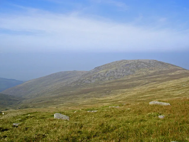
Carnedd Y Ddelw — Named summit at 688 m.

Wikimedia Commons contributors — see linked file page for photographer and licence licence

Plan your visit
- Typical visit
- 3 h–8 h
- Best time of year
- Late spring – early autumn (May–Oct)
- Nearest railway station
- Llanfairfechan · 5.5 km
- Free entry
- Dog-friendly
Getting there & planning your visit
To visit Carnedd Y Ddelw, the nearest railway station is Llanfairfechan, located 5.5 km away. Entry is free. There are no specific accessibility details provided.
About
Carnedd Y Ddelw is a named summit in the United Kingdom. Wikidata describes it as: "Named summit at 688 m.". Coordinates: 53.2163°, -3.9366°.
Photo gallery
From the Wikipedia article
Carnedd y Ddelw is a summit in the Carneddau mountains in north Wales, north-east of Foel-fras. It a former Nuttall top of Drum (Wales), having been resurveyed. Its eastern slopes are drained by the Afon Tafolog, a tributary of Afon Roe that flows through the village of Rowen before joining the River Conwy. It is also the final top on Carnedd Llewelyn's long northern spur. To the north-east is Tal y Fan, the most northerly 2000 foot tall mountain in the Carneddau and Wales. The summit has two large shelter cairns, hollowed out from a large Bronze Age burial cairn.
Excerpt from Wikipedia under CC BY-SA 4.0. See the source article linked in Sources below.
- Coordinates
- 53.2163, -3.9366
- Address
- Conwy / Gwynedd, Wales
- Nearest railway station
- Llanfairfechan — 5.5 km
Sources
- osm: n2997300941 (ODbL)
- wikipedia: Carnedd y Ddelw (CC BY-SA 4.0)
- commons: Carnedd y Ddelw summit shelter - geograph.org.uk - 646974.jpg (CC BY-SA 4.0)
Other places nearby
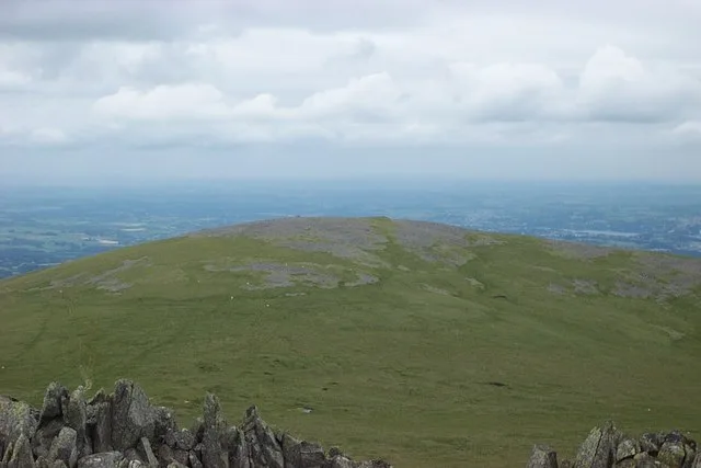
Drosgl
Mountains & hills · 0.6 km
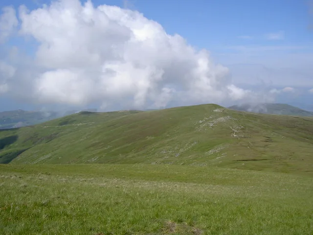
Drum
Mountains & hills · 1.0 km
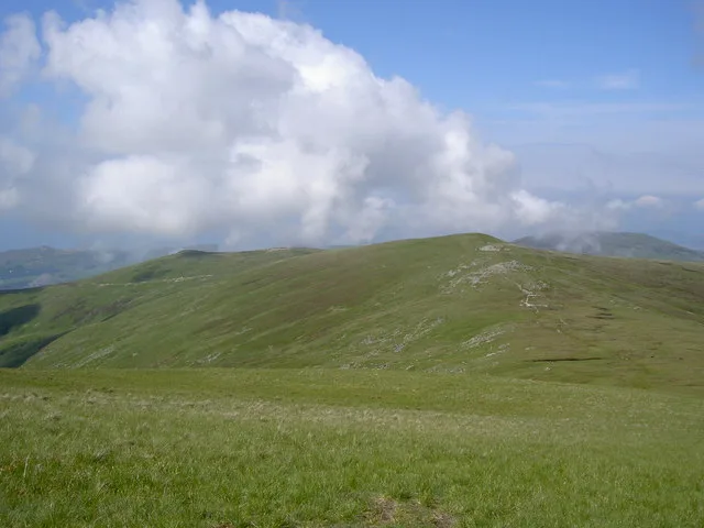
Drum
Natural landmarks · 1.1 km

Pen Bryn-du
Mountains & hills · 1.3 km

Foel Lwyd
Mountains & hills · 1.3 km

Llannerch Fedw Cairn
Burial mounds & barrows · 1.4 km

Yr Orsedd
Mountains & hills · 1.7 km

Foel Lwyd
Mountains & hills · 2.2 km
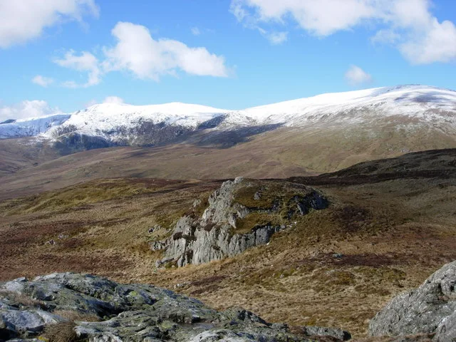
Pen Y Castell
Mountains & hills · 2.2 km

Foel-ganol
Mountains & hills · 2.2 km

Foel-ganol
Mountains & hills · 2.2 km
Llwytmor
Mountains & hills · 2.3 km
Nearby
📷 3📷 3📷 3📷 5📷 5📷 3Burial mounds & barrows · North Wales
Llannerch Fedw Cairn
Llannerch Fedw Cairn — a burial mound in wales-north, United Kingdom.
Where to eat & stay near Carnedd Y Ddelw
Places to stay
 📷 5
📷 5 📷 5
📷 5 📷 5
📷 5 📷 5
📷 5Campsites · North Wales
Cefn Cae Camping Site
Cefn Cae Camping Site — a campsite in wales north.
 📷 5
📷 5 📷 5
📷 5Places to eat & drink
 📷 7
📷 7Restaurants · North Wales
Tafarn Tryfan
Tafarn Tryfan — a restaurant in wales north.
 📷 7📷 7
 📷 7
📷 7 📷 7
📷 7 📷 5
📷 5Historic pubs · North Wales
The George and Dragon
The George and Dragon — Historic pub — listed building or notable heritage status.
More mountains in this region
 📷 5
📷 5Mountains & hills · North Wales
Cemlyn Bay and lagoon
Cemlyn Bay and lagoon — Site of Special Scientific Interest in Wales.
 📷 3
📷 3Mountains & hills · North Wales
Aberffraw Bay
Aberffraw Bay — bay on the west coast of Anglesey, in Wales, UK.
 📷 3
📷 3 📷 3
📷 3Mountains & hills · North Wales
Aran Benllyn
Aran Benllyn — Named summit at 884 m.
Frequently asked questions
- Where is Carnedd Y Ddelw?
- Carnedd Y Ddelw is in North Wales, United Kingdom.
- What is Carnedd Y Ddelw?
- Carnedd Y Ddelw — Named summit at 688 m.
- How do I get to Carnedd Y Ddelw?
- The nearest railway station is Llanfairfechan, about 5.5 km away. The nearest town is Beaumaris. Its coordinates are 53.2163°, -3.9366°.
- Is Carnedd Y Ddelw free to visit?
- Yes, Carnedd Y Ddelw is free to enter.
- How do I get to Carnedd Y Ddelw?
- The nearest railway station is Llanfairfechan, about 5.5 km away.