
Mountains & hills · Scottish Highlands
Càrn Eige
Also known as: Càrn Eighe, Carn Eige, Càrn Èite
Càrn Eige — Named summit at 1183 m.

Wikimedia Commons contributors — see linked file page for photographer and licence licence

Plan your visit
- Typical visit
- 3 h–8 h
- Best time of year
- Late spring – early autumn (May–Oct)
- Free entry
- Dog-friendly
About
Càrn Eige is a named summit in the United Kingdom. Also known as: Càrn Eighe. Wikidata describes it as: "Named summit at 1183 m.". Coordinates: 57.2877°, -5.1152°.
Photo gallery
Official information
Càrn Eige is the tallest mountain located north of the Great Glen, standing at 1183 meters. It is often climbed alongside its neighboring peak, Mam Sodhail, and offers various challenging routes for hikers, including the complete Mullardoch round which encompasses up to 12 Munros.
From the Wikipedia article
Carn Eighe (Scottish Gaelic: Càrn Èite) is a mountain in the Northwest Highlands of Scotland. Rising to 1,183 metres (3,881 ft) above sea level, it is the highest mountain in Scotland north of the Great Glen, the twelfth-highest in the British Isles, and, in terms of relative height (topographic prominence), it is the second-tallest mountain in the British Isles after Ben Nevis (its "parent peak" for determination of topographic prominence). Carn Eighe lies between Glen Affric and Loch Mullardoch, and is at the heart of a massif along with its twin peak, the 1,181-metre (3,875 ft) Mam Sodhail. Administratively, it is in the Highland council area, on the boundary between the historic counties of Inverness and Ross and Cromarty, on the former lands of the Clan Chisholm. The mountain is not easy to access, being ten kilometres (6 mi) from the nearest road. Another prominent peak to the north, Beinn Fhionnlaidh, is even less accessible.
Excerpt from Wikipedia under CC BY-SA 4.0. See the source article linked in Sources below.
Background
History
In 1848, the mountain was climbed by Colonel Winzer of the Ordnance Survey, who discovered a pile of stones and deduced that it had been climbed earlier, although a local gamekeeper suggested it was a shelter (bothy) for watchers. In 1891 Sir Hugh Munro, 4th Baronet listed Càrn Eighe in his Munro Tables, in which it has remained. The full set of Munros has been "completed" at least 6,000 times since then.
Sourced from Wikipedia under CC BY-SA 4.0.
- Coordinates
- 57.2877, -5.1152
- Address
- Glen Affric, Scotland
- Official site
- www.walkhighlands.co.uk
Sources
- osm: n270089442 (ODbL)
- wikipedia: Càrn Eighe (CC BY-SA 4.0)
- commons: Carn Eighe from Mam Sodhail.jpg (CC BY-SA 4.0)
Other places nearby
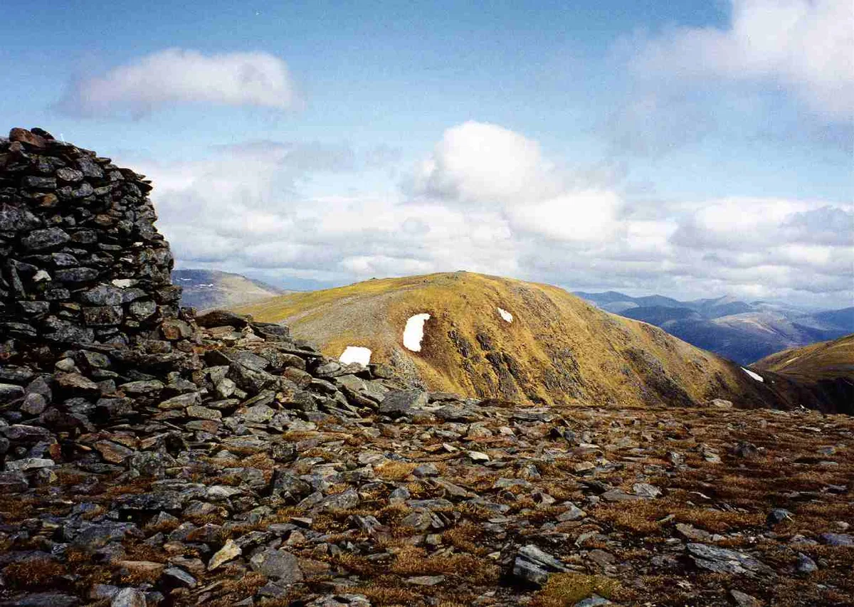
Càrn Eige
Natural landmarks · 0.0 km

Carn Eighe
Mountains & hills · 0.0 km

Carn Eige - Stob a'Choire Dhomhain
Mountains & hills · 0.8 km

Stob a' Choire Dhomhain
Mountains & hills · 0.8 km
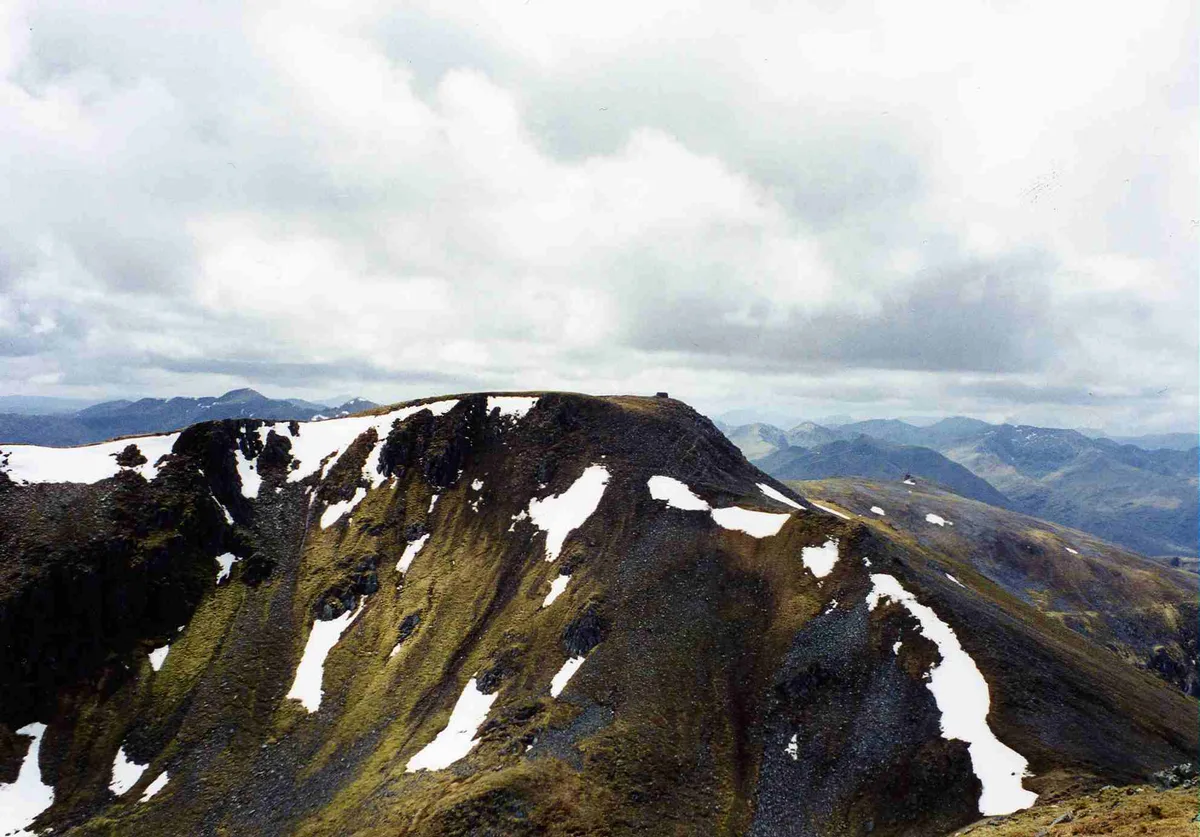
Màm Sodhail
Mountains & hills · 0.9 km
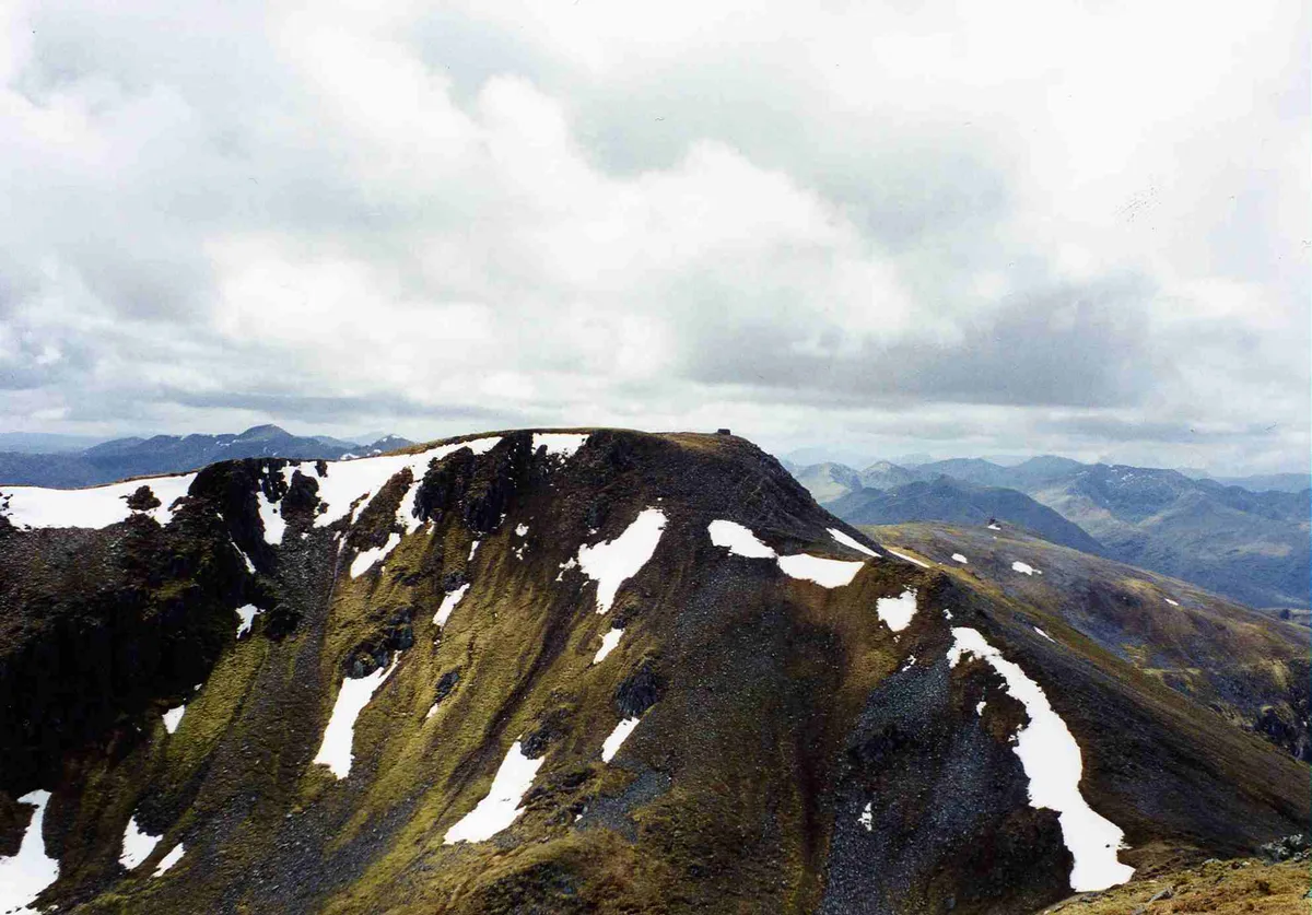
Mam Sodhail
Natural landmarks · 0.9 km

Stob Coire Lochan
Mountains & hills · 1.0 km
Stob a'Choire Dhomhain
Mountains & hills · 1.1 km
Stob Coire Dhomhnuill
Mountains & hills · 1.4 km

Mam Sodhail - Ciste Dhubh
Mountains & hills · 1.9 km

Sron Garbh
Mountains & hills · 2.0 km

Mam Sodhail - Mullach Cadha Rainich
Mountains & hills · 2.2 km
Nearby
📷 3Natural landmarks · Scottish Highlands
Càrn Eige
Càrn Eige — 1182m high mountain in Highland, Scotland, UK.
📷 5Mountains & hills · Scottish Highlands
Carn Eighe
Carn Eighe — a hill or mountain in scotland highlands.
📷 3Mountains & hills · Scottish Highlands
Carn Eige - Stob a'Choire Dhomhain
Carn Eige - Stob a'Choire Dhomhain — a mountain in scotland-highlands, United Kingdom.
📷 5Mountains & hills · Scottish Highlands
Stob a' Choire Dhomhain
Stob a' Choire Dhomhain — a hill or mountain in scotland highlands.
📷 3Mountains & hills · Scottish Highlands
Màm Sodhail
Màm Sodhail — Named summit at 1181 m.
📷 3Natural landmarks · Scottish Highlands
Mam Sodhail
Mam Sodhail — 1179m high mountain in Highland, Scotland, UK.
Where to eat & stay near Càrn Eige
Places to stay
 📷 5
📷 5Hostels · Scottish Highlands
Glen Affric SYHA
Glen Affric SYHA — a hostel in scotland highlands.
 📷 7
📷 7Hotels · Scottish Highlands
Cluanie Inn
Cluanie Inn — a hotel in scotland highlands.
 📷 5
📷 5Hostels · Scottish Highlands
Kintail Outdoor Centre
Kintail Outdoor Centre — a hostel in scotland highlands.
 📷 5
📷 5Campsites · Scottish Highlands
Morvich Club Campsite
Morvich Club Campsite — a campsite in scotland highlands.
 📷 5
📷 5Hostels · Scottish Highlands
The Byre
The Byre — a hostel in scotland highlands.
 📷 5
📷 5Campsites · Scottish Highlands
Glenshiel Campsite
Glenshiel Campsite — a campsite in scotland highlands.
More mountains in this region
 📷 3
📷 3Mountains & hills · Scottish Highlands
A' Bhuidheanach Bheag
A' Bhuidheanach Bheag — Named summit at 936 m.
 📷 3
📷 3Mountains & hills · Scottish Highlands
A' Chailleach
A' Chailleach — Named summit at 997 m.
 📷 3
📷 3Mountains & hills · Scottish Highlands
A' Chailleach
A' Chailleach — Named summit at 930 m.
 📷 3
📷 3Frequently asked questions
- Where is Càrn Eige?
- Càrn Eige is in the Scottish Highlands, United Kingdom.
- What is Càrn Eige?
- Càrn Eige — Named summit at 1183 m.
- How do I get to Càrn Eige?
- Its coordinates are 57.2877°, -5.1152°.
- Is Càrn Eige free to visit?
- Yes, Càrn Eige is free to enter.