
Museums · East of England
Carlton Colville
In or near Gisleham.
Carlton Colville is a seaside town and civil parish in the English county of Suffolk. It is 3 miles (5 km) south-west of the centre of the town of Lowestoft in the East Suffolk district. The area lies

Adrian S Pye — CC BY-SA 2.0 via Wikimedia Commons licence

Plan your visit
- Typical visit
- 1.5 h–3 h
- Best time of year
- Year-round
- Nearest railway station
- Chapel Road · 0.3 km
- Free entry
- Family-friendly
- Limited wheelchair access
Getting there & planning your visit
To visit Carlton Colville, the nearest railway station is Chapel Road, located 0.3 km away. The postcode for navigation is NR33 8GA. Please note that wheelchair accessibility is limited.
About
Carlton Colville is a seaside town and civil parish in the English county of Suffolk. It is 3 miles (5 km) south-west of the centre of the town of Lowestoft in the East Suffolk district. The area lies along the A146 Lowestoft to Beccles road. Carlton Colville has boundaries with Oulton Broad, Gisleham and Pakefield. It forms the south-western edge of Lowestoft, with Mutford 2 miles (3 km) to the south-east. The electoral ward continues to the north to the River Waveney and had a population of 6,612 at the 2001 census, increasing to 8,505 at the 2011 census. A civil parish, the parish council adopted town council status in August 2011, retaining the same powers and funding.
Photo gallery
Official information
The East Anglia Transport Museum is the UK's most easterly transport museum, showcasing a variety of historical transport vehicles. Visitors can enjoy rides on trams and explore the museum's exhibits, which highlight the region's transport history.
From the Wikipedia article
Carlton Colville is a seaside town and civil parish in the English county of Suffolk. It is 3 miles (5 km) south-west of the centre of the town of Lowestoft in the East Suffolk district. The area lies along the A146 Lowestoft to Beccles road. Carlton Colville has boundaries with Oulton Broad, Gisleham and Pakefield. It forms the south-western edge of Lowestoft, with Mutford 2 miles (3 km) to the south-east. The electoral ward continues to the north to the River Waveney and had a population of 6,612 at the 2001 census, increasing to 8,505 at the 2011 census. A civil parish, the parish council adopted town council status in August 2011, retaining the same powers and funding.
Excerpt from Wikipedia under CC BY-SA 4.0. See the source article linked in Sources below.
Background
History
The name Carlton derives from the Old Norse karl meaning free peasant combined with the Old English tūn meaning settlement. 'Colville' was the surname of a medieval landowner. Archaeological investigations have discovered evidence of settlement from the prehistoric to the medieval periods, including three large stone axe heads dating from the Neolithic or early Bronze Age discovered together in a pit. Bloodmoor Hill, located between Carlton Colville and Pakefield, was the site of settlement in the 2nd and 3rd centuries and the 7th and 8th centuries. The Saxon period consisted of a relatively dense settlement as well as a cemetery which included at least one rich barrow burial. At the…
Sourced from Wikipedia under CC BY-SA 4.0.
- Coordinates
- 52.4540, 1.6910
- County
- Suffolk
- District
- East Suffolk
- Parish
- Carlton Colville
- Postcode
- NR33 8GA
- Parliamentary constituency
- Lowestoft
- Nearest railway station
- Chapel Road — 0.3 km
- Official site
- www.eatransportmuseum.co.uk
Sources
- wikipedia: Carlton Colville (CC BY-SA 4.0)
Other places nearby
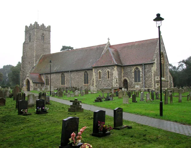
St. Peter's Church, Carlton Colville
Historic churches · 0.3 km

Paul George Burgess Park
Parks · 0.4 km

East Anglia Transport Museum
Museums · 0.4 km

Carlton Colville Village Sign
Public art & sculpture · 0.6 km
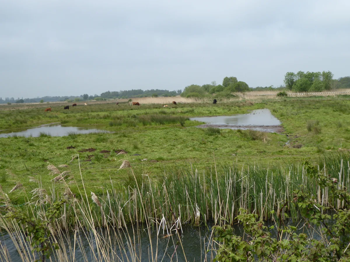
Carlton and Oulton Marshes
Wildlife reserves · 1.8 km

Church of Holy Trinity
Historic churches · 1.9 km
Gisleham
Towns & cities · 1.9 km

Broadlands Park & Marina
Caravan parks · 2.0 km

The Octagon
Viewpoints · 2.1 km

Oulton Broad Mini Zoo
Zoos & aquariums · 2.2 km

Pakefield Welcome Village Sign
Public art & sculpture · 2.3 km

Rushmere
Villages · 2.4 km
Nearby
📷 3Historic churches · East of England
St. Peter's Church, Carlton Colville
St. Peter's Church, Carlton Colville — church in Carlton Colville, Suffolk, England, UK.
📷 3Parks · East of England
Paul George Burgess Park
Paul George Burgess Park — a other in england-east, United Kingdom.
📷 3Museums · East of England
East Anglia Transport Museum
East Anglia Transport Museum — a museum in england-east, United Kingdom.
📷 3Public art & sculpture · East of England
Carlton Colville Village Sign
Carlton Colville Village Sign — a public art in england-east, United Kingdom.
Flagship📷 5Wildlife reserves · East of England
Carlton and Oulton Marshes
Carlton and Oulton Marshes — Suffolk Wildlife Trust nature reserve.
📷 3Historic churches · East of England
Church of Holy Trinity
Church of Holy Trinity — Grade I listed church in Gisleham, Suffolk, England, UK.
Where to eat & stay near Carlton Colville
Places to stay
📷 5Caravan parks · East of England
Broadlands Park & Marina
Broadlands Park & Marina — a caravan park in england east.
 📷 5
📷 5Caravan parks · East of England
Pakefield Holiday Park
Pakefield Holiday Park — a caravan park in england east.
 📷 5
📷 5Campsites · East of England
Jaydene Touring Caravan Park
Jaydene Touring Caravan Park — a campsite in england east.
 📷 5
📷 5Campsites · East of England
The Hollies
The Hollies — a campsite in england east.
 📷 5
📷 5Caravan parks · East of England
Waveney River Centre
Waveney River Centre — a caravan park in england east.
 📷 5
📷 5Campsites · East of England
Waveney River Centre Campground
Waveney River Centre Campground — a campsite in england east.
Places to eat & drink
 📷 5
📷 5 📷 5
📷 5Historic pubs · East of England
Crown And Anchor Public House
Crown And Anchor Public House in England East, United Kingdom.
 📷 5
📷 5Historic pubs · East of England
Cherry Tree Public House
Cherry Tree Public House in England East, United Kingdom.
 📷 5
📷 5 📷 5
📷 5 📷 5
📷 5Historic pubs · East of England
The Short Blue Public House
The Short Blue Public House in England East, United Kingdom.
More museums in this region
 📷 5
📷 5Museums · East of England
American Air Museum
American Air Museum — museum at Imperial War Museum Duxford, Cambridgeshire, England, UK.
 📷 5
📷 5Museums · East of England
Ashwell Village Museum
Ashwell Village Museum — historic building museum in Ashwell, Hertfordshire, England, United Kingdom.
 📷 5
📷 5Museums · East of England
Barleylands Farm Museum
Barleylands Farm Museum — Farm museum in Billericay, England.
 📷 5
📷 5Museums · East of England
Cromwell Museum
Cromwell Museum — museum in Huntingdon, England, United Kingdom.
Frequently asked questions
- Where is Carlton Colville?
- Carlton Colville is in Suffolk, East of England, United Kingdom (postcode NR33 8GA), in the parish of Carlton Colville.
- What is Carlton Colville?
- Carlton Colville is a seaside town and civil parish in the English county of Suffolk. It is 3 miles (5 km) south-west of the centre of the town of Lowestoft in the East Suffolk district. The area lies
- How do I get to Carlton Colville?
- The nearest railway station is Chapel Road, about 0.3 km away. Drivers can use postcode NR33 8GA.
- How do I get to Carlton Colville?
- The nearest railway station is Chapel Road, about 0.3 km away. Drivers can navigate to postcode NR33 8GA.