
Lighthouses · Scottish Islands
Cape Wrath
Also known as: Penrhyn Wrath, Am Parbh
Cape Wrath in Scotland Islands, United Kingdom.

Alan Reid — CC BY-SA 2.0 via Wikimedia Commons licence

Plan your visit
- Typical visit
- 30 min–1 h
- Free entry
- Family-friendly
- Dog-friendly
About
Cape Wrath is a place of interest in Scotland Islands, United Kingdom — drawn from open-data sources for visitor reference. See the linked Wikipedia article for the full description.
Photo gallery
From the Wikipedia article
Cape Wrath (Scottish Gaelic: Am Parbh, known as An Carbh in Lewis) is a cape in the Durness parish of the county of Sutherland in the Highlands of Scotland. It is the most north-westerly point in Great Britain. The cape is separated from the rest of the mainland by the Kyle of Durness and consists of 107 square miles (280 square kilometres) of moorland wilderness known as the Parph. The first road was built in 1828 by the lighthouse commission across the Parph/Durness. This road connects a passenger ferry that crosses the Kyle of Durness with the buildings on the peninsula. Much of the cape is owned by the Ministry of Defence and is used as a military training area, including as live firing range. Areas of it are also designated as a Site of Special Scientific Interest, a Special Protection Area, a Special Area of Conservation and a Special Landscape Area.
Excerpt from Wikipedia under CC BY-SA 4.0. See the source article linked in Sources below.
Background
History
Cape Wrath was once the home of a series of small crofting communities, although by 1845 the only families remaining on the Parph were those of shepherds. In the 1930s it supported a population of 30 to 40 people, including a small side school at Achiemore which had up to ten pupils in the 1930s but closed in 1947. Building remains at locations such as Kearvaig have been dated to the 18th century. The Cape has few archaeological remains which can be dated to earlier than this, although a promontory fort at Eilean nan Caorach to the east of the headland may date to the late prehistoric age. Much of the area has been used for sheep grazing, a use which continues today, and shielings, shelters…
Visiting
The cape is visited by between 2,000 and 6,000 tourists a year, attracted by the lack of settlements, plants, animals, cliffs, mountain backdrop and lighthouse. The tourist industry is estimated to be worth between £400,000 and £620,000 to the economy of the local area around Durness. Cape Wrath is also the turning point for the Cape Wrath Marathon. It runs for 11 mi to the lighthouse and the same distance back to the ferry dock on the Cape side. The final 4 mi leg of the race is run from the mainland side from the ferry dock and finishes at Durness Community Centre. The marathon is held each year as the final event of a week of races, the Cape Wrath Challenge. The sole inhabitants of the…
Sourced from Wikipedia under CC BY-SA 4.0.
- Coordinates
- 58.6248, -5.0015
- Address
- Scottish Highlands
Sources
- wikidata: Q1034522 (CC0)
- wikipedia: Cape Wrath (CC BY-SA 4.0)
Other places nearby
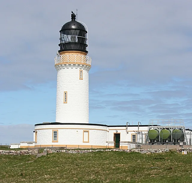
Cape Wrath Lighthouse
Lighthouses · 0.2 km

Stac an Dunain
Mountains & hills · 0.3 km
Uamh Chàm
Caves · 0.5 km

Dùnan Mòr
Mountains & hills · 0.6 km
Dunan Mor Stack
Mountains & hills · 0.7 km
Dunan Mor
Mountains & hills · 0.7 km

Geodha Glas Head
Mountains & hills · 1.2 km

Dùnan Beag
Mountains & hills · 2.3 km

Sìthean na h-Iolaireich
Mountains & hills · 4.5 km

Cnoc a' Ghiubhais
Mountains & hills · 4.6 km
Cnoc a' Ghiùbhais
Mountains & hills · 4.6 km

Bay of Keisgaig
Natural landmarks · 4.7 km
Nearby
📷 5Lighthouses · Scottish Islands
Cape Wrath Lighthouse
Cape Wrath Lighthouse — lighthouse located at the most North-Westerly point of the British mainland, in Sutherland, Scotland.
📷 5Mountains & hills · Scottish Islands
Stac an Dunain
Stac an Dunain — a hill or mountain in scotland islands.
📷 5📷 5Mountains & hills · Scottish Islands
Dùnan Mòr
Dùnan Mòr — mountain in scotland islands. Elevation: 163 m.
📷 5Mountains & hills · Scottish Islands
Dunan Mor Stack
Dunan Mor Stack — a hill or mountain in scotland islands.
📷 5Where to eat & stay near Cape Wrath
Places to stay
 📷 5
📷 5Caravan parks · Scottish Islands
Balnakeil Motorhome Stopover
Balnakeil Motorhome Stopover — a caravan park in scotland islands.
 📷 5
📷 5Hostels · Scottish Islands
Lazy Crofter Bunkhouse/Hostel
Lazy Crofter Bunkhouse/Hostel — a hostel in scotland islands.
📷 5 📷 5
📷 5Campsites · Scottish Islands
Sango Sands
Sango Sands — a campsite in scotland islands.
 📷 5
📷 5Hostels · Scottish Islands
Durness Youth Hostel
Durness Youth Hostel — a hostel in scotland islands.
 📷 5
📷 5More lighthouses in this region
 📷 2
📷 2Lighthouses · Scottish Islands
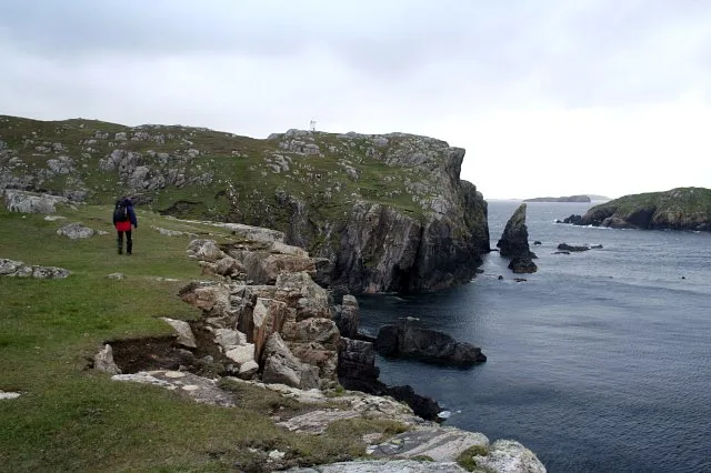
Aird Laimishader
Aird Laimishader — lighthouse on the Isle of Lewis, Scotland, UK.
 📷 2
📷 2Lighthouses · Scottish Islands
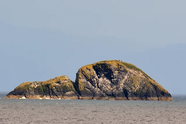
An t-Iasgair Light
An t-Iasgair Light — lighthouse in Highland, Scotland, UK.
 📷 3
📷 3Lighthouses · Scottish Islands
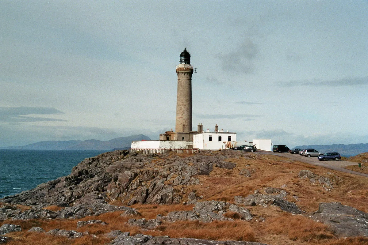
Ardnamurchan Lighthouse
Ardnamurchan Lighthouse — lighthouse in Lochaber, Highland, Scotland, built in 1849.
 📷 3
📷 3Lighthouses · Scottish Islands
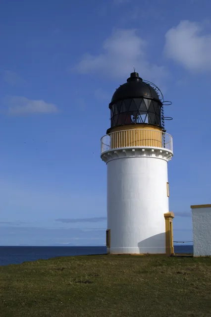
Arnish Point Lighthouse, Lewis
Arnish Point Lighthouse, Lewis — lighthouse in Outer Hebrides, Scotland, UK.
Frequently asked questions
- Where is Cape Wrath?
- Cape Wrath is in the Scottish Islands, United Kingdom.
- What is Cape Wrath?
- Cape Wrath in Scotland Islands, United Kingdom.
- How do I get to Cape Wrath?
- Its coordinates are 58.6248°, -5.0015°.
- Is Cape Wrath free to visit?
- Yes, Cape Wrath is free to enter.