
Historic bridges · East Midlands
Canal Bridge At Sk 4345 5156
In or near Ironville.
Canal Bridge At Sk 4345 5156 — Grade II listed building-listed bridge in england-east-midlands, United Kingdom.

Alan Murray-Rust — CC BY-SA 2.0 via Wikimedia Commons licence

Plan your visit
- Typical visit
- 15 min–30 min
- Nearest railway station
- Swanwick Junction · 2.1 km
- Free entry
- Dog-friendly
Getting there & planning your visit
To visit the Canal Bridge at SK 4345 5156, the nearest railway station is Swanwick Junction, located 2.1 km away. Entry to the bridge is free. The postcode for the area is NG16 5NH.
About
Canal Bridge At Sk 4345 5156 is a Grade II listed building-listed bridge in england-east-midlands, United Kingdom, registered on the National Heritage List for England (NHLE entry 1158721). Listed status protects buildings and structures of special architectural or historic interest. See the linked Wikipedia article for further details.
Photo gallery
Heritage listing
Details SK 45 SW IRONVILLE MARKET PLACE (west side) 4/40 Canal Bridge at SK 4345 5156 II Canal bridge. 1793 by engineers William Jessop and Benjamin Outram. Coursed squared stone. Single stilted segmental arch with plain band and parapets over topped by rounded coping stones. Walls curved outwards to each end and finish in square piers with pyramidal copings. Part of the Cromford Canal. Source: F Nixon 'Industrial Archaeology of Derbyshire' 1969. Listing NGR: SK4344851600 Legacy The contents of this record have been generated from a legacy data system. Legacy System number: 79084 Legacy System: LBS
From the Historic England List Entry under OGL v3.
Place summary
The Canal Bridge at SK 4345 5156 is a Grade II listed bridge located in the East Midlands. It is recognised for its architectural significance and historic value within the region.
AI-generated from the structured facts on this page (operator, designation, listing, era). Not a substitute for visiting.
- Coordinates
- 53.0599, -1.3532
- County
- Derbyshire
- District
- Amber Valley
- Parish
- Ironville
- Postcode
- NG16 5NH
- Parliamentary constituency
- Amber Valley
- Nearest railway station
- Swanwick Junction — 2.1 km
Sources
- wikidata: Q26452469 (CC0)
Other places nearby

Codnor Park and Ironville War Memorial
Memorials & monuments · 0.3 km

Canal Bridge At Sk 4380 5170
Historic bridges · 0.4 km

Ironville
Towns & cities · 0.4 km

Jessop (Codnor) Monument
Memorials & monuments · 0.6 km

Riddings Wood
Campsites · 0.7 km

Lock On Cromford Canal At Sk442 515
Canal locks · 0.7 km

Jacksdale War Memorial
Memorials & monuments · 1.1 km

Riddings
Parks · 1.3 km
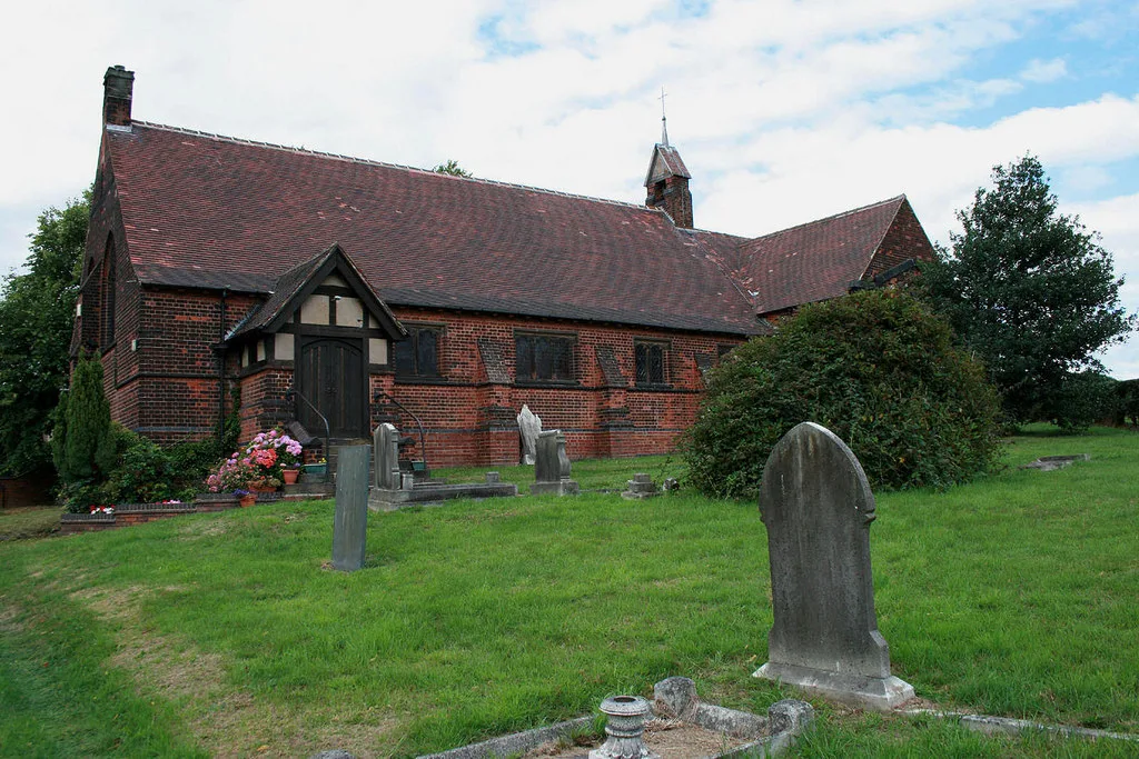
St. Mary's Church, Westwood
Historic churches · 1.4 km

Pye Bridge
Historic bridges · 1.4 km

Golden Valley Caravan Park
Campsites · 1.5 km
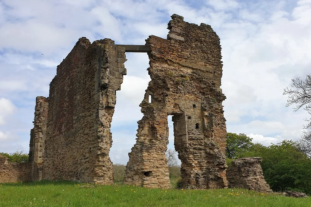
Codnor Castle
Castles · 1.6 km
Nearby
📷 3Memorials & monuments · East Midlands
Codnor Park and Ironville War Memorial
Codnor Park and Ironville War Memorial — Grade II listed building-listed memorial in england-east-midlands, United Kingdom.
📷 3Historic bridges · East Midlands
Canal Bridge At Sk 4380 5170
Canal Bridge At Sk 4380 5170 — Grade II listed building-listed bridge in england-east-midlands, United Kingdom.
📷 5Towns & cities · East Midlands
Ironville
Ironville — village and civil parish in Amber Valley district, Derbyshire, England, UK.
📷 3Memorials & monuments · East Midlands
Jessop (Codnor) Monument
Jessop (Codnor) Monument is a memorial in the United Kingdom.
📷 5📷 3Canal locks · East Midlands
Lock On Cromford Canal At Sk442 515
Lock On Cromford Canal At Sk442 515 — lock in Ironville, Amber Valley, Derbyshire, England, UK.
Where to eat & stay near Canal Bridge At Sk 4345 5156
Places to stay
📷 5📷 5Campsites · East Midlands
Golden Valley Caravan Park
Golden Valley Caravan Park — a campsite in england east midlands.
 📷 5
📷 5Caravan parks · East Midlands
The Firs Caravan and Motorhome Site
The Firs Caravan and Motorhome Site — a caravan park in england east midlands.
 📷 5
📷 5Campsites · East Midlands
Broadholme Lane Caravan Park
Broadholme Lane Caravan Park — a campsite in england east midlands.
 📷 5
📷 5 📷 5
📷 5Hotels · East Midlands
Horsley Lodge Hotel
Horsley Lodge Hotel — a hotel in england east midlands.
Places to eat & drink
 📷 5
📷 5 📷 7
📷 7Historic pubs · East Midlands
The Excavator Public House
The Excavator Public House in England East Midlands, United Kingdom.
 📷 5
📷 5Historic pubs · East Midlands
The Black Swan Public House And Attached L Shaped Range Of Outbuildings To The North-East
The Black Swan Public House And Attached L Shaped Range Of Outbuildings To The North-East in England East Midlands, United Kingdom.
 📷 5
📷 5Historic pubs · East Midlands
White Hart Public House
White Hart Public House in England East Midlands, United Kingdom.
 📷 5
📷 5 📷 5
📷 5Historic pubs · East Midlands
Range Of 3 Cottages Formerly The Wheatsheaf Public House
Range Of 3 Cottages Formerly The Wheatsheaf Public House in England East Midlands, United Kingdom.
More bridges in this region
 📷 5
📷 5Historic bridges · East Midlands
Mill Race Bridge To Market Deeping Mill
Mill Race Bridge To Market Deeping Mill — Grade II listed building-listed bridge in england-london, United Kingdom.
 📷 5
📷 5Historic bridges · East Midlands
Bridge Over West Glen River
Bridge Over West Glen River — Grade II listed building-listed bridge in england-london, United Kingdom.
 📷 5
📷 5Historic bridges · East Midlands
Bridge And Sluices
Bridge And Sluices — Grade II listed building-listed bridge in england-london, United Kingdom.
 📷 5
📷 5Historic bridges · East Midlands
Bridge Over River Gwash
Bridge Over River Gwash — Grade II listed building-listed bridge in england-london, United Kingdom.
Frequently asked questions
- Where is Canal Bridge At Sk 4345 5156?
- Canal Bridge At Sk 4345 5156 is in Derbyshire, the East Midlands, United Kingdom (postcode NG16 5NH), in the parish of Ironville.
- What is Canal Bridge At Sk 4345 5156?
- Canal Bridge At Sk 4345 5156 — Grade II listed building-listed bridge in england-east-midlands, United Kingdom.
- How do I get to Canal Bridge At Sk 4345 5156?
- The nearest railway station is Swanwick Junction, about 2.1 km away. Drivers can use postcode NG16 5NH.
- Is Canal Bridge At Sk 4345 5156 a listed building?
- Canal Bridge At Sk 4345 5156 is officially recognised as Grade II listed building listed.
- Is Canal Bridge At Sk 4345 5156 free to visit?
- Yes, Canal Bridge At Sk 4345 5156 is free to enter.
- How do I get to Canal Bridge At Sk 4345 5156?
- The nearest railway station is Swanwick Junction, about 2.1 km away. Drivers can navigate to postcode NG16 5NH.