
Castles · Scottish Highlands
Caithness
Also known as: Cothnais, Gallaibh
In or near Halkirk.
Caithness (; Scottish Gaelic: Gallaibh [ˈkal̪ˠɪv]; Old Norse: Katanes) is a historic county, registration county and lieutenancy area of Scotland. There are two towns, being Wick, which was the county

Donnie Robson — CC BY-SA 2.0 via Wikimedia Commons licence

Plan your visit
- Typical visit
- 1.5 h–3 h
- Nearest railway station
- Scotscalder · 8.0 km
- Family-friendly
- Limited wheelchair access
Getting there & planning your visit
To visit Caithness Castle in the Scottish Highlands, the nearest railway station is Scotscalder, which is 8 km away. Entry details are not specified, and wheelchair accessibility is limited.
About
Caithness (; Scottish Gaelic: Gallaibh [ˈkal̪ˠɪv]; Old Norse: Katanes) is a historic county, registration county and lieutenancy area of Scotland. There are two towns, being Wick, which was the county town, and Thurso. The county includes the northernmost point of mainland Britain at Dunnet Head, and also the most north-easterly point at Duncansby Head near John o' Groats. The Flow Country is the largest blanket bog in Europe, and covers a large inland area in the west of the county. Caithness has a land boundary with the historic county of Sutherland to the west and is otherwise bounded by sea. The land boundary follows a watershed and is crossed by two roads (the A9 and the A836) and by one railway (the Far North Line). Across the Pentland Firth, ferries link Caithness with Orkney, and Caithness also has an airport at Wick. The Pentland Firth island of Stroma is within Caithness. From the 9th century the Caithness area was ruled by the Jarl of Orkney, who at different times owed allegiance to both Norway and Scotland. Caithness subsequently became a separate provincial lordship from Orkney in the 14th century, being an earldom controlled by the Earl of Caithness. The name was also used for the Diocese of Caithness from the 12th century to the 17th century. The diocese was larger than the later county, also including Sutherland. A shire called Caithness covering the same area as the earldom was created in 1641, after a couple of earlier abortive attempts. Shires gradually ec
Photo gallery
From the Wikipedia article
Caithness (; Scottish Gaelic: Gallaibh [ˈkal̪ˠɪv]; Old Norse: Katanes) is a historic county, registration county and lieutenancy area of Scotland. There are two towns, being Wick, which was the county town, and Thurso. The county includes the northernmost point of mainland Britain at Dunnet Head, and also the most north-easterly point at Duncansby Head near John o' Groats. The Flow Country is the largest blanket bog in Europe, and covers a large inland area in the west of the county. Caithness has a land boundary with the historic county of Sutherland to the west and is otherwise bounded by sea. The land boundary follows a watershed and is crossed by two roads (the A9 and the A836) and by one railway (the Far North Line). Across the Pentland Firth, ferries link Caithness with Orkney, and Caithness also has an airport at Wick. The Pentland Firth island of Stroma is within Caithness. From the 9th century the Caithness area was ruled by the Jarl of Orkney, who at different times owed allegiance to both Norway and Scotland. Caithness subsequently became a separate provincial lordship from Orkney in the 14th century, being an earldom controlled by the Earl of Caithness. The name was also used for the Diocese of Caithness from the 12th century to the 17th century. The diocese was larger than the later county, also including Sutherland. A shire called Caithness covering the same area as the earldom was created in 1641, after a couple of earlier abortive attempts. Shires gradually eclipsed the old provinces in administrative importance, and also became known as counties. The county ceased to be used for local government purposes in 1975, when the area became part of the Highland region, which in turn became a single-tier council area in 1996. There was a local government district called Caithness from 1975 to 1996, which was a lower-tier district within the Highland region. The pre-1975 county boundaries are still used for certain functions, being a registration county. The
Excerpt from Wikipedia under CC BY-SA 4.0. See the source article linked in Sources below.
Background
History
The Caithness landscape is rich with the remains of pre-historic occupation. These include the Grey Cairns of Camster, the Stone Lud, the Hill O Many Stanes, a complex of sites around Loch of Yarrows near Thrumster, and over 100 brochs. A prehistoric souterrain structure at Caithness has been likened to discoveries at Midgarth and on Shapinsay. The study of Caithness prehistory is well represented in the county by groups including Yarrows Heritage Trust, Caithness Horizons and Caithness Broch Project. Numerous coastal castles (now mostly ruins) are Norwegian (West Norse) in their foundations. When the Norsemen arrived, probably in the 10th century, the county was inhabited by the Picts, but…
Sourced from Wikipedia under CC BY-SA 4.0.
- Coordinates
- 58.4167, -3.5000
- Nearest railway station
- Scotscalder — 8 km
Sources
- wikipedia: Caithness (CC BY-SA 4.0)
Other places nearby
Dirlot Castle
Castles · 0.2 km

Tulach Mor Broch
Archaeological sites · 2.5 km

Tulach Mor Broch
Archaeological sites · 2.5 km

Cairn Merk
Burial mounds & barrows · 2.6 km

Cairn Merk
Archaeological sites · 2.6 km

Loch Meadie
Lakes · 2.9 km

Westerdale Church Of Scotland
Historic churches · 3.1 km
Westerdale Bridge
Historic bridges · 3.3 km
Tulach Buaile a' Chroic, Broch
Archaeological sites · 3.3 km
Tulach Lochain Bhraseil, broch site
Archaeological sites · 3.5 km

Tulach Lochain Bhraseil, broch site
Archaeological sites · 3.5 km
Tulach An Fhuarain, Broch
Archaeological sites · 3.5 km
Nearby
📷 5Castles · Scottish Highlands
Dirlot Castle
Dirlot Castle — scheduled monument-listed castle in scotland-highlands, United Kingdom.
📷 3Archaeological sites · Scottish Highlands
Tulach Mor Broch
Tulach Mor Broch — a archaeological in scotland-highlands, United Kingdom.
📷 5Archaeological sites · Scottish Highlands
Tulach Mor Broch
Tulach Mor Broch — archaeological in scotland highlands.
📷 3Burial mounds & barrows · Scottish Highlands
Cairn Merk
Cairn Merk — a burial mound in scotland-highlands, United Kingdom.
📷 5Archaeological sites · Scottish Highlands
Cairn Merk
Cairn Merk — archaeological in scotland highlands.
📷 5Where to eat & stay near Caithness
Places to stay
 📷 4
📷 4Campsites · Scottish Highlands
Caithness Camping Pods
Caithness Camping Pods — a campsite in scotland highlands.
 📷 5
📷 5Campsites · Scottish Highlands
Wildcamp latheronwheel
Wildcamp latheronwheel — a campsite in scotland highlands.
 📷 5
📷 5Campsites · Scottish Highlands
Inver Caravan Park & BB
Inver Caravan Park & BB — a campsite in scotland highlands.
 📷 5
📷 5 📷 5
📷 5Campsites · Scottish Highlands
Dunbeath Harbour Camping
Dunbeath Harbour Camping — a campsite in scotland highlands.
 📷 7
📷 7Hotels · Scottish Islands
Muthu Royal Hotel
Muthu Royal Hotel — a hotel in scotland islands.
Places to eat & drink
 📷 5
📷 5Historic pubs · Scottish Highlands
The Alexander Bain
The Alexander Bain in Scotland Highlands, United Kingdom.
More castles in this region
 📷 3
📷 3Castles · Scottish Highlands
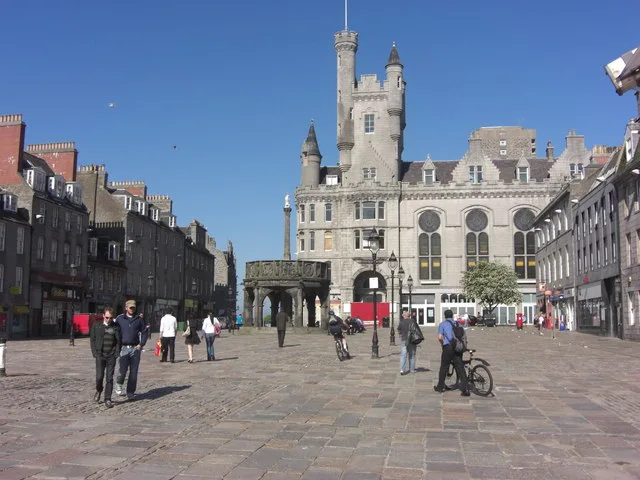
Aberdeen Castle
Aberdeen Castle — castle in Aberdeen City, Scotland, UK.
 📷 3
📷 3Castles · Scottish Highlands
Abergairn Castle
Abergairn Castle — castle in Aberdeenshire, Scotland, UK.
 📷 5
📷 5Castles · Scottish Highlands
Aberscross Castle
Aberscross Castle — castle near Dornoch, Highland, Scotland, UK, ruinous by the 17th century.
 📷 3
📷 3Castles · Scottish Highlands
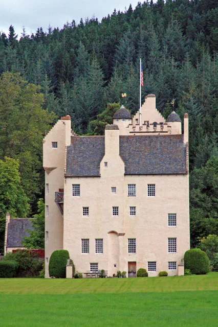
Aboyne Castle
Aboyne Castle — castle in Aberdeenshire, Scotland, UK.
Frequently asked questions
- Where is Caithness?
- Caithness is in the Scottish Highlands, United Kingdom.
- What is Caithness?
- Caithness (; Scottish Gaelic: Gallaibh [ˈkal̪ˠɪv]; Old Norse: Katanes) is a historic county, registration county and lieutenancy area of Scotland. There are two towns, being Wick, which was the county
- How do I get to Caithness?
- The nearest railway station is Scotscalder, about 8.0 km away. The nearest town is Halkirk. Its coordinates are 58.4167°, -3.5000°.
- Does Caithness charge admission?
- Caithness typically charges admission. Check the official site for current ticket prices and opening hours.