Mountains & hills · Scottish Highlands
Cairn Muldonich
Cairn Muldonich — mountain in scotland highlands. Elevation: 566 m.

Antony Dixon — CC BY-SA 2.0 via Wikimedia Commons licence
Plan your visit
- Typical visit
- 3 h–8 h
- Best time of year
- Late spring – early autumn (May–Oct)
About
Cairn Muldonich is a mountain located in scotland highlands. Elevation: 566 m. A named British peak recorded in OpenStreetMap. Peaks are typically named on Ordnance Survey 1:50k mapping.
Photo gallery
Place summary
Cairn Muldonich is a mountain located in the Scottish Highlands. It features rugged terrain typical of the region and offers a range of outdoor activities for visitors. The area is known for its natural beauty and provides opportunities for hiking and exploring the surrounding landscape.
AI-generated from the structured facts on this page (operator, designation, listing, era). Not a substitute for visiting.
- Coordinates
- 57.3242, -3.2686
Sources
- osm: n2439074813 (ODbL)
Other places nearby
Loading nearby places…
Nearby
 📷 5
📷 5Mountains & hills · Scottish Highlands
Carn Muldonich
Carn Muldonich — a hill or mountain in scotland highlands.
 📷 5
📷 5Mountains & hills · Scottish Highlands
Carn Tullich
Carn Tullich — mountain in scotland highlands. Elevation: 373 m.
📷 5Mountains & hills · Scottish Highlands
Carn Tullich
Carn Tullich — a hill or mountain in scotland highlands.
 📷 5
📷 5Historic churches · Scottish Highlands
Roman Catholic Church of The Incarnation, Tombae
Roman Catholic Church of The Incarnation, Tombae — category A listed building-listed church in scotland-highlands, United Kingdom.
 📷 5
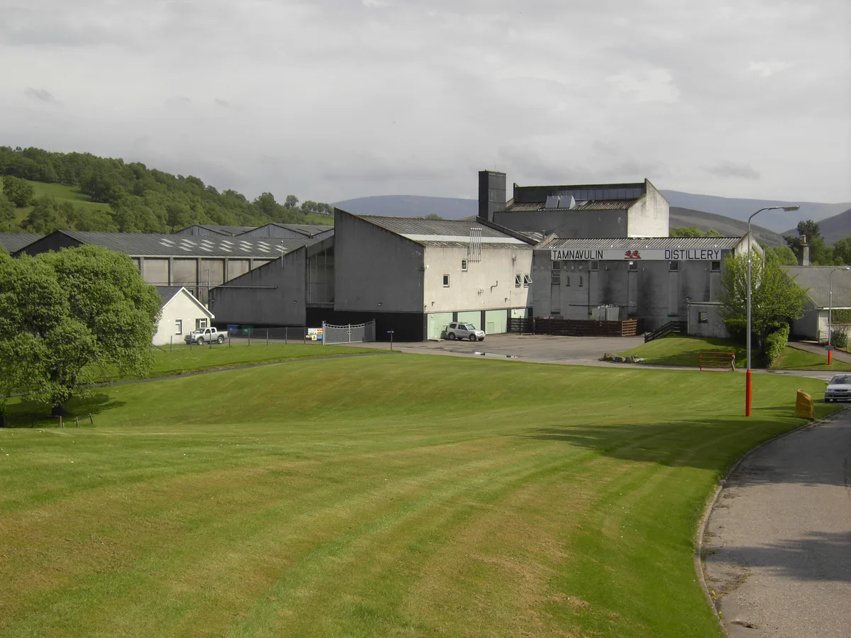
📷 5Distilleries · Scottish Highlands
Tamnavulin Distillery
Tamnavulin Distillery — Whisky/spirit distillery.
 📷 5
📷 5Mountains & hills · Scottish Highlands
Tom na Liach
Tom na Liach — mountain in scotland highlands. Elevation: 367 m.
Where to eat & stay near Cairn Muldonich
Places to stay
 📷 5
📷 5Hostels · Scottish Highlands
The Smugglers Hostel
The Smugglers Hostel — a hostel in scotland highlands.
 📷 5
📷 5Campsites · Scottish Highlands
Camping
Camping — a campsite in scotland highlands.
 📷 5
📷 5Hostels · Scottish Highlands
Cromdale Outdoor Centre
Cromdale Outdoor Centre — a hostel in scotland highlands.
 📷 3
📷 3Campsites · Scottish Highlands
Aberlour Gardens Camping Park
Aberlour Gardens Camping Park — a campsite in scotland highlands.
 📷 5
📷 5Campsites · Scottish Highlands
Speyside by Craigellachie
Speyside by Craigellachie — a campsite in scotland highlands.
 📷 5
📷 5Hotels · Scottish Highlands
Craigellachie Hotel
Craigellachie Hotel — a hotel in scotland highlands.
More mountains in this region
 📷 3
📷 3Mountains & hills · Scottish Highlands
A' Bhuidheanach Bheag
A' Bhuidheanach Bheag — Named summit at 936 m.
 📷 3
📷 3Mountains & hills · Scottish Highlands
A' Chailleach
A' Chailleach — Named summit at 997 m.
 📷 3
📷 3Mountains & hills · Scottish Highlands
A' Chailleach
A' Chailleach — Named summit at 930 m.
 📷 3
📷 3Mountains & hills · Scottish Highlands
A' Chaoirnich
A' Chaoirnich — Named summit at 875 m.
Frequently asked questions
- Where is Cairn Muldonich?
- Cairn Muldonich is in the Scottish Highlands, United Kingdom.
- What is Cairn Muldonich?
- Cairn Muldonich — mountain in scotland highlands. Elevation: 566 m.
- How do I get to Cairn Muldonich?
- Its coordinates are 57.3242°, -3.2686°.