
Archaeological sites · South East England
Caesar's Camp, Rushmoor and Waverley
In or near Crondall.
Caesar's Camp, Rushmoor and Waverley — Iron Age hill fort on the Surrey/Hampshire border, England.

Wikimedia Commons contributors — see linked file page for photographer and licence licence

Plan your visit
- Typical visit
- 45 min–1.5 h
- Nearest railway station
- Aldershot · 3.1 km
- Free entry
- Dog-friendly
Getting there & planning your visit
To visit Caesar's Camp in Waverley, Surrey, the nearest railway station is Aldershot, located 3.1 km away. Entry to the site is free. The postcode for sat-nav is GU9 0EL.
About
Caesar's Camp, Rushmoor and Waverley is an archaeological site in the United Kingdom. Heritage designation: scheduled monument. Wikidata describes it as: "Iron Age hill fort on the Surrey/Hampshire border, England". Coordinates: 51.2440°, -0.8046°.
Photo gallery
Protected designations
- Site of Special Scientific Interest: Bourley and Long Valley SSSI
- Area of Outstanding Natural Beauty: Surrey Hills
Designations sourced from Natural England open data under OGL v3.
From the Wikipedia article
Caesar's Camp is an Iron Age hill fort straddling the border of the counties of Surrey and Hampshire in southern England. The fort straddles the borough of Waverley in Surrey and the borough of Rushmoor and the district of Hart, both in Hampshire. Caesar's Camp is a scheduled monument with a list entry identification number of 1007895. It lies approximately 3 kilometres (1.9 mi) north of the town of Farnham, and a similar distance west of Aldershot. The hillfort lies entirely within the Bourley and Long Valley Site of Special Scientific Interest. Caesar's Camp is a multivallate hillfort, a fort with multiple defensive rings, occupying an irregular promontory, with an entrance on the south side. The site has been much disturbed by military activity, especially at the southeast corner. The remains of the hillfort are considered to be of national importance.
Excerpt from Wikipedia under CC BY-SA 4.0. See the source article linked in Sources below.
Background
History
It is possible that Caesar's Camp developed in the Late Bronze Age, as a fort associated with the River Wey. There were three Iron Age phases of the fort. In its earliest form, Caesar's Camp was a univallate fort. In its second phase of development, the defences were multivallate with a timber palisade. Later, a bank was built over the line of the palisade, replacing it. After the third phase, the site was apparently abandoned until the medieval period, when a park pale was built, making use of the final phase of the Iron Age defences. Caesar's Camp belonged to the Farnham estate of the Bishop of Winchester in the 11th century; by the 13th century it formed part of a park associated with…
Architecture
Caesar's Camp stands 177 m above mean sea level, and the Bagshot Beds of sand surface on the northern slopes of the hill. The area around the hillfort features extensive areas of open heathland. The defences on the east side have been damaged by a modern quarry. The interior of the fort is largely undisturbed, and the rarity of large multivallate Iron Age forts has resulted in Caesar's Camp being regarded as of national importance by Historic England. The fort is large and encloses an area of 10.5 ha. The earthwork ramparts and ditches largely follow the contours of the hill. The ramparts cut across the neck of the plateau on the south side; on the north and northeast sides there are no…
Sourced from Wikipedia under CC BY-SA 4.0.
- Coordinates
- 51.2440, -0.8046
- County
- Surrey
- District
- Waverley
- Parish
- Farnham
- Postcode
- GU9 0EL
- Parliamentary constituency
- Farnham and Bordon
- Nearest railway station
- Aldershot — 3.1 km
Sources
- wikidata: Q17513167 (CC0)
- wikipedia: Caesar's Camp, Rushmoor and Waverley (CC BY-SA 4.0)
- commons: Caesar's Camp - geograph.org.uk - 20069.jpg (CC BY-SA 4.0)
Other places nearby

Bricksbury Hill
Mountains & hills · 0.4 km

Margaret Leitch
Memorials & monuments · 0.7 km

Bricksbury Hill
Mountains & hills · 0.9 km

Great war 1914-1918 WW2 1939-1945
Memorials & monuments · 1.3 km

Blackwater Valley Path
Military museums · 1.4 km
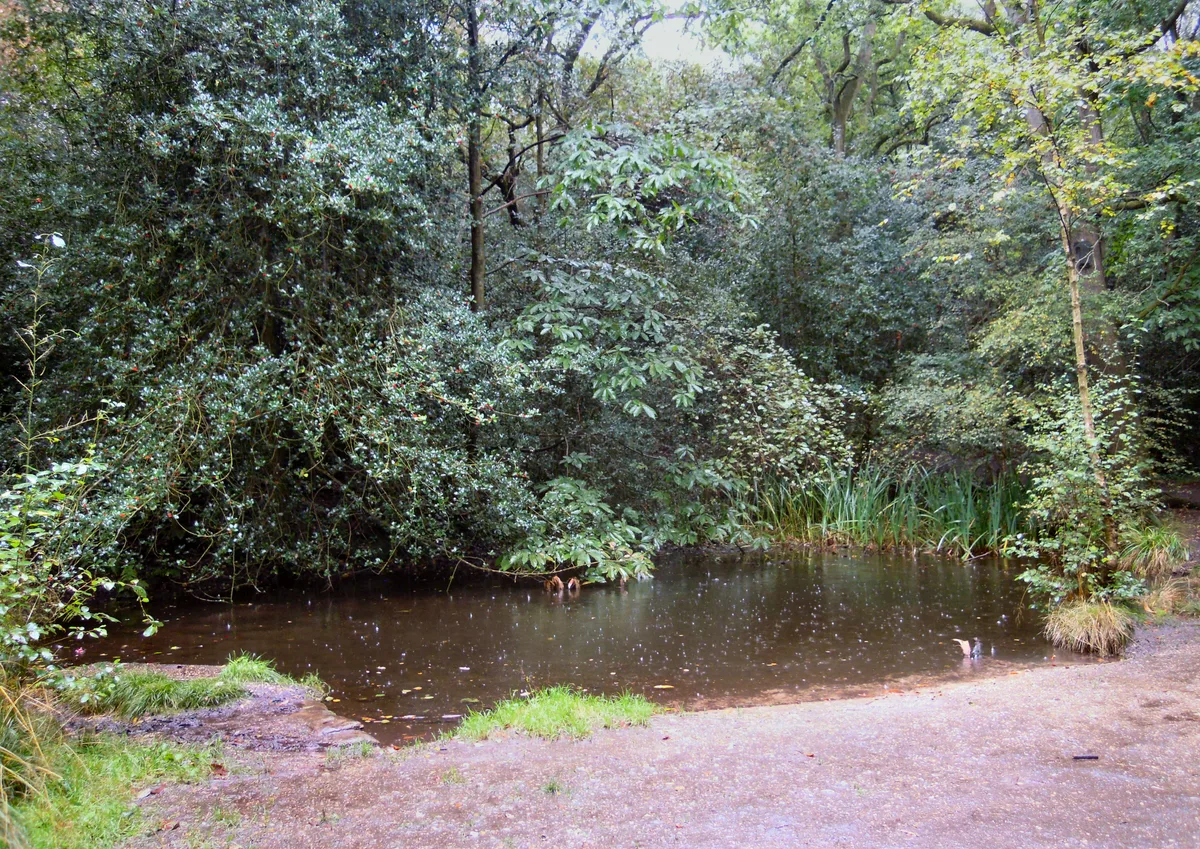
Rowhill Nature Reserve
Wildlife reserves · 1.8 km

Bat's Hog Sty
Archaeological sites · 1.8 km

Queen Elizabeth Jubilee
Memorials & monuments · 1.9 km

Ewshot WW1 Cross
Memorials & monuments · 1.9 km

Royal Garrison Church, Aldershot
Historic churches · 2.0 km

Equestrian statue of the Duke of Wellington
Memorials & monuments · 2.0 km
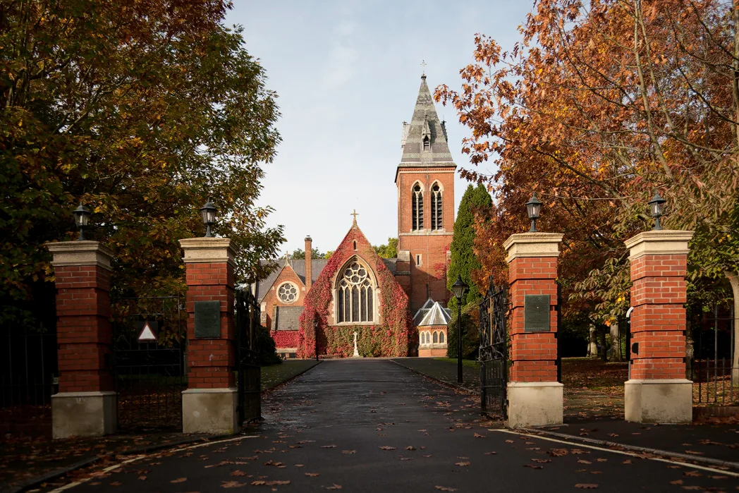
Royal Garrison Church
Historic churches · 2.0 km
Nearby
📷 5Mountains & hills · South East England
Bricksbury Hill
Bricksbury Hill — mountain in england south east. Elevation: 180 m.
📷 5Memorials & monuments · South East England
Margaret Leitch
Margaret Leitch — a memorial in england-south-east, United Kingdom.
📷 5Mountains & hills · South East England
Bricksbury Hill
Bricksbury Hill — a hill or mountain in england south east.
📷 5Memorials & monuments · South East England
Great war 1914-1918 WW2 1939-1945
Great war 1914-1918 WW2 1939-1945 — a memorial in england-south-east, United Kingdom.
📷 5Military museums · South East England
Blackwater Valley Path
Blackwater Valley Path — a military museum in england south east.
📷 5Wildlife reserves · South East England
Rowhill Nature Reserve
Rowhill Nature Reserve — nature reserve on the boundary of Hampshire and Surrey, England, UK.
Where to eat & stay near Caesar's Camp, Rushmoor and Waverley
Places to stay
 📷 5
📷 5Campsites · South East England
Runways End Outdoor Centre
Runways End Outdoor Centre — a campsite in england south east.
 📷 5
📷 5 📷 5
📷 5 📷 5
📷 5Campsites · South East England
Herons Wey Campsite
Herons Wey Campsite — a campsite in england south east.
📷 5Campsites · South East England
Garners Field Campsite
Garners Field Campsite — a campsite in england south east.
 📷 5
📷 5Caravan parks · South East England
Grove Farm Park Mobile Home Park
Grove Farm Park Mobile Home Park — a caravan park in england south east.
Places to eat & drink
 📷 7
📷 7Historic pubs · South East England
8 And 9 (The Queens Head), The Borough
8 And 9 (The Queens Head), The Borough in England South East, United Kingdom.
 📷 7
📷 7Historic pubs · South East England
William Cobbett Public House
William Cobbett Public House in England South East, United Kingdom.
 📷 7
📷 7Restaurants · South East England
The Bengal Lounge
The Bengal Lounge — a restaurant in england south east.
 📷 7
📷 7Historic pubs · South East England
The Fox Public House
The Fox Public House in England South East, United Kingdom.
 📷 5
📷 5Historic pubs · South East England
The Tumble Down Dick Pub
The Tumble Down Dick Pub in England South East, United Kingdom.
 📷 5
📷 5Historic pubs · South East England
The Waterwitch
The Waterwitch in England South East, United Kingdom.
More archaeological sites in this region
 📷 5
📷 5Archaeological sites · South East England
Chatham Dockyard, site of South Mast Pond
Chatham Dockyard, site of South Mast Pond — archaeological site in Medway, Kent, England, UK.
 📷 5
📷 5Archaeological sites · South East England
Open areas within Roman, Saxon and medieval town
Open areas within Roman, Saxon and medieval town — archaeological site in Medway, Kent, England, UK.
 📷 5
📷 5Archaeological sites · South East England
Oxmoor Copse
Oxmoor Copse — woodland in Surrey, England.
 📷 5
📷 5Frequently asked questions
- Where is Caesar's Camp, Rushmoor and Waverley?
- Caesar's Camp, Rushmoor and Waverley is in Surrey, South-East England, United Kingdom (postcode GU9 0EL), in the parish of Farnham.
- What is Caesar's Camp, Rushmoor and Waverley?
- Caesar's Camp, Rushmoor and Waverley — Iron Age hill fort on the Surrey/Hampshire border, England.
- How do I get to Caesar's Camp, Rushmoor and Waverley?
- The nearest railway station is Aldershot, about 3.1 km away. The nearest town is Crondall. Drivers can use postcode GU9 0EL.
- Is Caesar's Camp, Rushmoor and Waverley a listed building?
- Caesar's Camp, Rushmoor and Waverley is officially recognised as scheduled monument listed.
- Is Caesar's Camp, Rushmoor and Waverley a protected site?
- Yes — Caesar's Camp, Rushmoor and Waverley is part of the Bourley and Long Valley SSSI Site of Special Scientific Interest and the Surrey Hills National Landscape (AONB).
- Is Caesar's Camp, Rushmoor and Waverley free to visit?
- Yes, Caesar's Camp, Rushmoor and Waverley is free to enter.
- How do I get to Caesar's Camp, Rushmoor and Waverley?
- The nearest railway station is Aldershot, about 3.1 km away. Drivers can navigate to postcode GU9 0EL.