
Hill forts · North Wales
Caer Lêb
In or near Newborough.
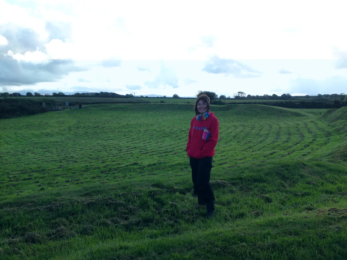
Caer Lêb — archaeological site in Anglesey, Wales, UK.

Wikimedia Commons contributors — see linked file page for photographer and licence licence

Plan your visit
- Typical visit
- 1 h–2 h
- Nearest railway station
- Caernarfon · 5.0 km
- Free entry
- Family-friendly
- Dog-friendly
- Limited wheelchair access
Getting there & planning your visit
To visit Caer Lêb, the nearest railway station is Caernarfon, located 5 km away. Entry is free, but accessibility is limited for wheelchair users. The postcode for navigation is LL61 6NX.
About
Caer Lêb is a hill fort in the United Kingdom. Heritage designation: scheduled monument. Owned by Cadw. Managed by Cadw. Wikidata describes it as: "archaeological site in Anglesey, Wales, UK". Coordinates: 53.1819°, -4.2868°.
Photo gallery
Summary from the official site
Caer Lêb is a prehistoric settlement with connections to Roman and medieval history, featuring a rectilinear enclosure of double banks and ditches. Excavations have revealed medieval coins and Roman artefacts, suggesting a complex history that may date back to the Iron Age.
Read more on the official property page.
From the Wikipedia article
Caer Lêb is a Roman and mediaeval site on the Welsh island of Anglesey, west of Brynsiencyn. Its name means "Leaven Castle". It is a low-lying site near the Afon Braint with a double row of pentangular banks (some parts now levelled) and marshy ditches. The original entrance was on the east, other gaps are modern and caused by animals. Based on the excavation of a similar site elsewhere on Anglesey, it may date from the 2nd century BCE. Excavations in 1865 found structures within the enclosure, rectangular buildings on the east and a circular one on the south. Nothing of these can now be seen on the ground. Pottery from the 2nd century to the 4th century was found, and on the north side a layer of periwinkle shells and a mediaeval coin, under a layer of peat. About twenty-five paces north-west of these earthworks there stood, some thirty years ago, the ruins of a large house, described by the tenant who removed it as being 24 yards long by 18 wide. Its walls were from 4 to 5 feet thick, consisting of large boulders, a great number of which, owing to their size, he had much difficulty in displacing. It had the sills of several wide windows in position. Retaining in view the history of the locality, we may not be far wrong in supposing that the stone materials of this house were taken from the neighbouring ruins of an earlier date. a A circular foundation, diameter, 18 feet; thickness of walls, 3 feet 6 inches; marked a on the plan. b The outer side of the wall, of very rude masonry, floored with slabs of limestone. In the centre of the hut was found a large stone mortar in situ, the upper edge being about the level of the floor. Diameter of the circular hole, 1 foot; depth, 6 inches. At one side of the hut, close to the wall, was what had evidently been the fireplace; layers of burnt matter (a kind of red ash) being found there, whilst around were scattered numerous teeth and bones, principally of the ox, also a few oyster-shells. Part of a well-finished quern (the…
Excerpt from Wikipedia under CC BY-SA 4.0. See the source article linked in Sources below.
- Coordinates
- 53.1819, -4.2868
- District
- Isle of Anglesey
- Parish
- Llanidan
- Postcode
- LL61 6NX
- Parliamentary constituency
- Ynys Môn
- Nearest railway station
- Caernarfon — 5 km
- Opening
- Open all year during reasonable daylight hours
- Official site
- cadw.gov.wales
Sources
- wikidata: Q5016872 (CC0)
- wikipedia: Caer Lêb (CC BY-SA 4.0)
- commons: CaerLeb.jpg (CC BY-SA 4.0)
Other places nearby

Caer Lêb Romano-British Farm
Archaeological sites · 0.0 km

Trefwri 2 Menhir Standing Stone
Stone circles · 0.4 km

Trefwri 1 Menhir Standing Stone
Stone circles · 0.5 km

Tre Ifan hut circles
Archaeological sites · 0.5 km

Fron Caravan & Camping Park
Campsites · 0.6 km

Tyddyn Albert Caravan Site
Caravan parks · 0.8 km
Castell Bryn Gwyn
Castles · 0.8 km

Castell Bryngwyn
Archaeological sites · 0.8 km
Pont Melin Bodowyr
Historic bridges · 0.8 km

Perthiduon Burial Chamber
Archaeological sites · 1.0 km

Perthiduon Burial Chamber
Archaeological sites · 1.0 km

Llanidan
Historic churches · 1.0 km
Nearby
📷 3Archaeological sites · North Wales
Caer Lêb Romano-British Farm
Caer Lêb Romano-British Farm — a archaeological in wales-north, United Kingdom.
📷 3Stone circles · North Wales
Trefwri 2 Menhir Standing Stone
Trefwri 2 Menhir Standing Stone — a stone circle in wales-north, United Kingdom.
📷 3Stone circles · North Wales
Trefwri 1 Menhir Standing Stone
Trefwri 1 Menhir Standing Stone — a stone circle in wales-north, United Kingdom.
📷 3Archaeological sites · North Wales
Tre Ifan hut circles
Tre Ifan hut circles — a archaeological in wales-north, United Kingdom.
📷 5Campsites · North Wales
Fron Caravan & Camping Park
Fron Caravan & Camping Park — a campsite in wales north.
📷 5Caravan parks · North Wales
Tyddyn Albert Caravan Site
Tyddyn Albert Caravan Site — a caravan park in wales north.
Where to eat & stay near Caer Lêb
Places to stay
📷 5Campsites · North Wales
Fron Caravan & Camping Park
Fron Caravan & Camping Park — a campsite in wales north.
📷 5Caravan parks · North Wales
Tyddyn Albert Caravan Site
Tyddyn Albert Caravan Site — a caravan park in wales north.
 📷 5
📷 5Campsites · North Wales
Tŷ Croes Farm Campsite
Tŷ Croes Farm Campsite — a campsite in wales north.
 📷 5
📷 5 📷 5
📷 5Hostels · North Wales
Totters Independent Hostel
Totters Independent Hostel — a hostel in wales north.
 📷 5
📷 5Places to eat & drink
 📷 5
📷 5 📷 5
📷 5 📷 6
📷 6 📷 5📷 5
 📷 5
📷 5More places run by Cadw
 📷 5
📷 5Castles · North Wales
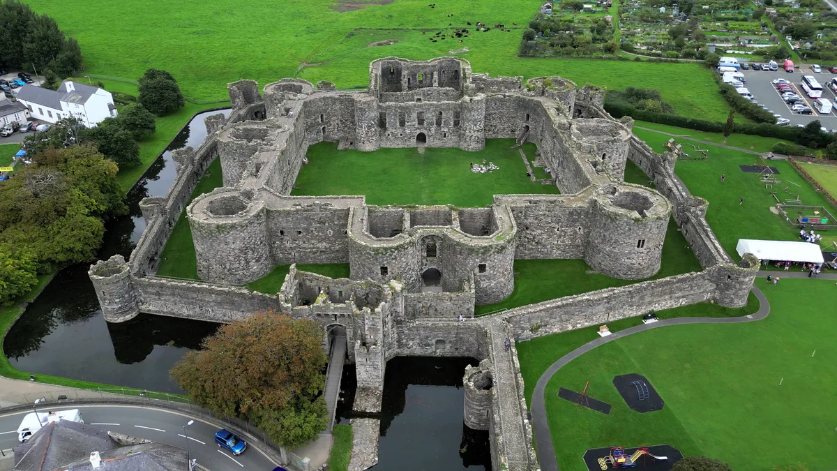
Beaumaris Castle
Beaumaris Castle — castle in Beaumaris, Anglesey, Wales.
 📷 3
📷 3Castles · North Wales
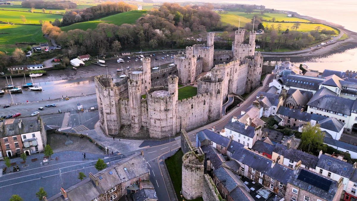
Caernarfon Castle
Caernarfon Castle — castle in Caernarfon, North Wales.
 📷 5
📷 5Castles · North Wales
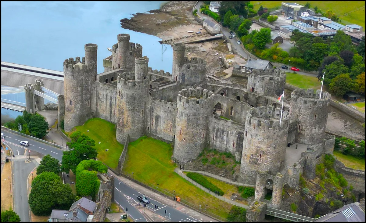
Conwy Castle
Conwy Castle — castle in Conwy, North Wales.
 📷 4
📷 4Castles · North Wales
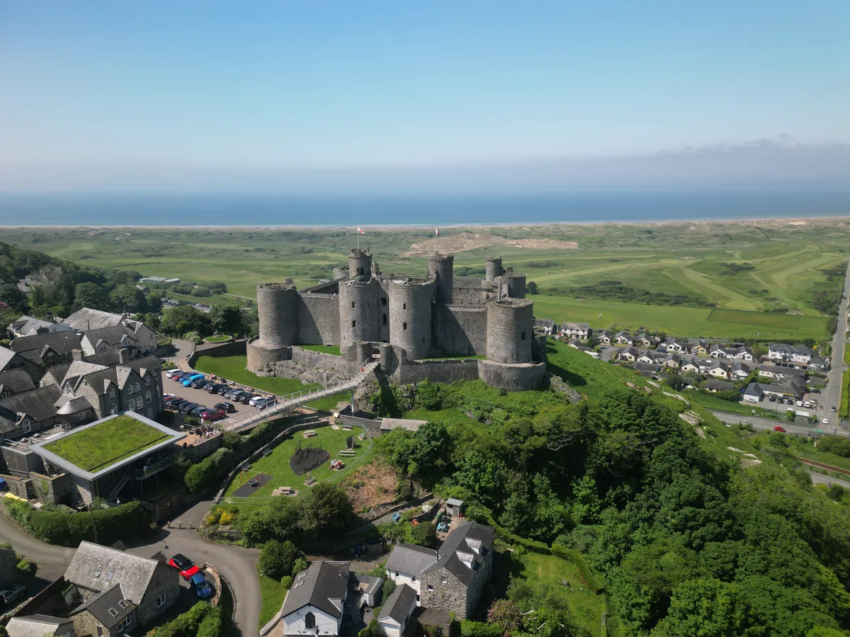
Harlech Castle
Harlech Castle — castle in Harlech, Gwynedd, Wales.
More places in this region
 📷 3
📷 3Hill forts · North Wales
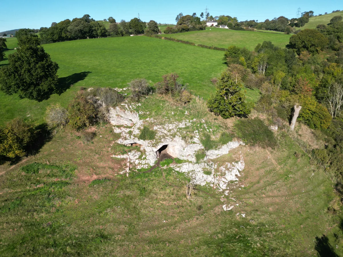
Ffynnon Beuno and Cae Gwyn Caves
Ffynnon Beuno and Cae Gwyn Caves — Site of Special Scientific Interest in Wales.
 📷 5
📷 5Hill forts · North Wales
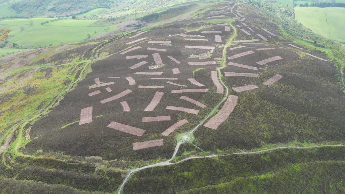
Penycloddiau
Penycloddiau — hillfort primarily located in Ysceifiog community, Flintshire.
 📷 5
📷 5Hill forts · North Wales
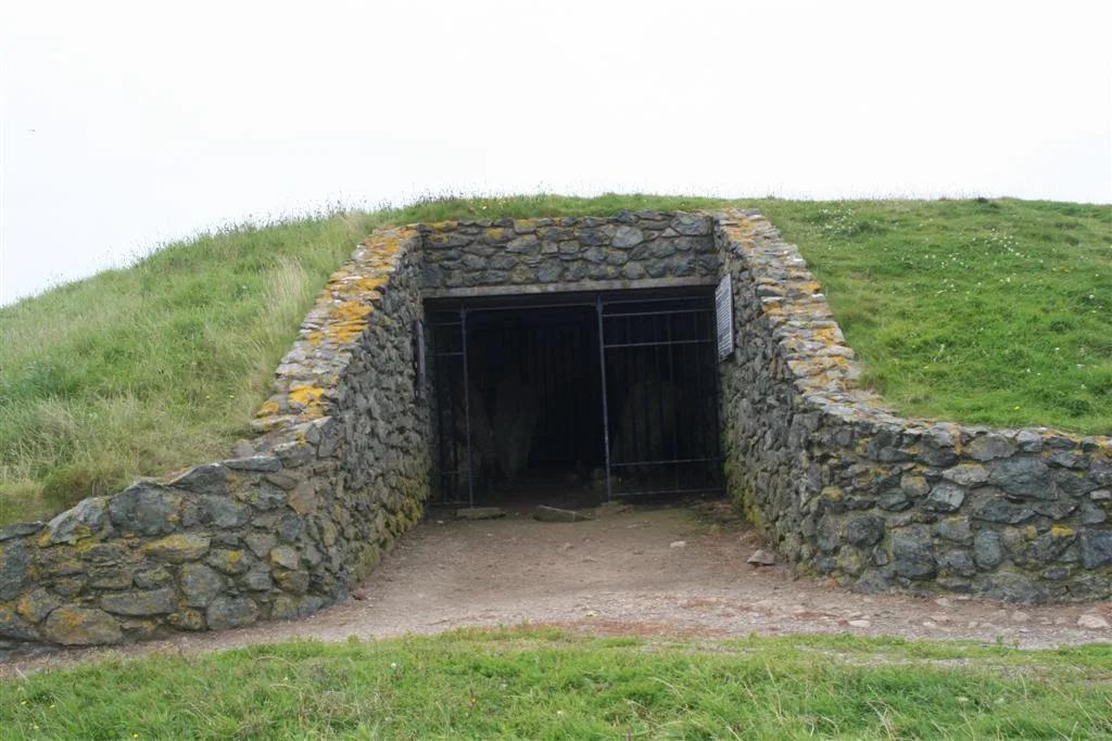
Barclodiad y Gawres
Barclodiad y Gawres — neolithic burial chamber in Anglesey, Wales, UK.
 📷 3
📷 3Hill forts · North Wales
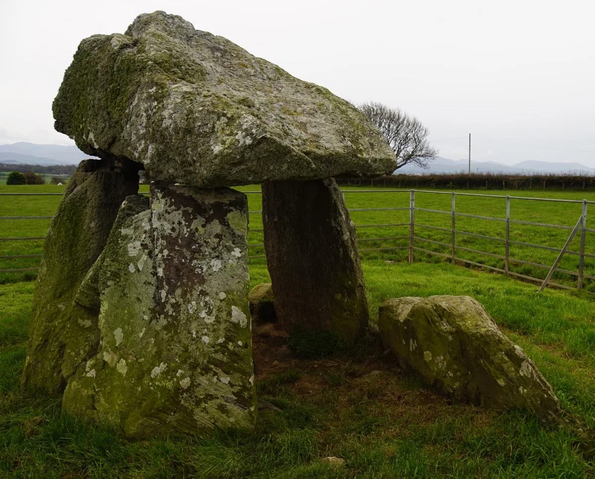
Bodowyr Burial Chamber
Bodowyr Burial Chamber — Neolithic burial chamber in Llanidan, Anglesey, Wales, UK.
Frequently asked questions
- Where is Caer Lêb?
- Caer Lêb is in North Wales, United Kingdom (postcode LL61 6NX), in the parish of Llanidan.
- What is Caer Lêb?
- Caer Lêb — archaeological site in Anglesey, Wales, UK.
- How do I get to Caer Lêb?
- The nearest railway station is Caernarfon, about 5.0 km away. Drivers can use postcode LL61 6NX.
- Who runs Caer Lêb?
- Caer Lêb is operated by Cadw.
- Is Caer Lêb a listed building?
- Caer Lêb is officially recognised as scheduled monument listed.
- Is Caer Lêb free to visit?
- Yes, Caer Lêb is free to enter.
- How do I get to Caer Lêb?
- The nearest railway station is Caernarfon, about 5.0 km away. Drivers can navigate to postcode LL61 6NX.