
Castles · North Wales
Caer Gybi
In or near Trearddur.
Caer Gybi — remains of a Roman fortlet in Holyhead, Anglesey, Wales, UK.

Wikimedia Commons contributors — see linked file page for photographer and licence licence

Plan your visit
- Typical visit
- 1.5 h–3 h
- Nearest railway station
- Holyhead · 0.5 km
- Family-friendly
- Limited wheelchair access
Getting there & planning your visit
To visit Caer Gybi, the nearest railway station is Holyhead, which is 0.5 km away. The postcode for sat-nav is LL65 1HG. Accessibility is limited for wheelchair users.
About
Caer Gybi is a castle in the United Kingdom — fortified architecture from the medieval, Tudor, or Victorian-revival period. Heritage designation: scheduled monument. Wikidata describes it as: "remains of a Roman fortlet in Holyhead, Anglesey, Wales, UK". Coordinates: 53.3114°, -4.6328°.
Photo gallery
Heritage listing
Caer Gybi was a small fortlet and naval base in Roman Wales in the Roman province of Britannia Superior built sometime in the 3rd or 4th century. It stands at the centre of Holyhead in the Welsh county of Anglesey.
From Cadw under OGL v3.
From the Wikipedia article
Caer Gybi was a small fortlet and naval base in Roman Wales in the Roman province of Britannia Superior built sometime in the 3rd or 4th century. It stands at the centre of Holyhead in the Welsh county of Anglesey.
Excerpt from Wikipedia under CC BY-SA 4.0. See the source article linked in Sources below.
Background
History
The exact date of the fort's construction is unknown, but it is believed to have been built between the late 3rd-century or early 4th-century. It is thought to have been a smaller outpost of the larger Segontium fort, which was used to defend the west coast against Irish sea-raiders. The Romans also built a watch tower, within Mynydd y Twr on the top of Holyhead Mountain, which was possibly used as the fort's look-out point. In the 6th century, King Maelgwn Gwynedd gave the old fort to Saint Cybi, who founded a monastery there. The Church of St Cybi still stands on the site today, with a small detached chapel (Eglwys y Bedd) that reputedly stands over Cybi's grave.
Architecture
The fort had three defensive walls and at the corner of each of the walls stood a circular watch tower, with the fourth side fronting the sea and was probably the site of a quay for the patrolling Roman warships. An excavation outside the northern walls uncovered an adjoining building to the fort's north-west tower, with a similar construction to the tower, and was likely to have also been Roman.
Sourced from Wikipedia under CC BY-SA 4.0.
- Coordinates
- 53.3114, -4.6328
- District
- Isle of Anglesey
- Parish
- Holyhead
- Postcode
- LL65 1HG
- Parliamentary constituency
- Ynys Môn
- Nearest railway station
- Holyhead — 0.5 km
- Official site
- www.gonorthwales.co.uk
Sources
- wikidata: Q5016868 (CC0)
- wikipedia: Caer Gybi (fort) (CC BY-SA 4.0)
- commons: Roman fort at Holyhead - geograph.org.uk - 1367143.jpg (CC BY-SA 4.0)
Other places nearby

Eglwys y Bedd
Historic churches · 0.0 km

Caer Gybi Roman Fort
Forts · 0.0 km

Cybi Cinema
Theatres · 0.1 km
.jpg?width=1200)
Tabernacl Welsh Independent Chapel
Chapels · 0.2 km
.jpg?width=1200)
Hyfrydle Chapel
Chapels · 0.2 km

Holyhead
Historic churches · 0.3 km

Holyhead Town Hall
Theatres · 0.3 km
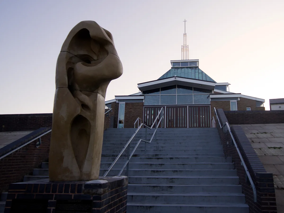
Saint Mary's Church, Holyhead
Historic churches · 0.3 km
Holyhead War Memorial
Memorials & monuments · 0.3 km

Port of Holyhead
Harbours & ports · 0.3 km

Ty'n Parc, Mill Bank
Abbeys & priories · 0.4 km
Ucheldre Arts Centre
Natural landmarks · 0.4 km
Nearby
📷 5Historic churches · North Wales
Eglwys y Bedd
Eglwys y Bedd — Grade II listed building-listed church in wales-north, United Kingdom.
📷 3📷 3📷 3Chapels · North Wales
Tabernacl Welsh Independent Chapel
Tabernacl Welsh Independent Chapel — Independent chapel in Holyhead.
📷 3📷 5Where to eat & stay near Caer Gybi
Places to stay
 📷 5
📷 5Caravan parks · North Wales
Valley Of The Rocks Caravan Park
Valley Of The Rocks Caravan Park — a caravan park in wales north.
📷 5Campsites · North Wales
Valley Of The Rocks Campsite
Valley Of The Rocks Campsite — a campsite in wales north.
 📷 5📷 5
Campsites · North Wales
Blackthorn Farm Campsite
Blackthorn Farm Campsite — a campsite in wales north.
📷 5Caravan parks · North Wales
Blackthorn Farm Caravan Park
Blackthorn Farm Caravan Park — a caravan park in wales north.
 📷 5
📷 5Caravan parks · North Wales
Trearddur Bay Country Park
Trearddur Bay Country Park — a caravan park in wales north.
Places to eat & drink
 📷 5
📷 5Restaurants · North Wales
Oyster Catcher
Oyster Catcher — a restaurant in wales north.
 📷 5
📷 5Historic pubs · North Wales
The Kings Head Hotel
The Kings Head Hotel in Wales North, United Kingdom.
 📷 5
📷 5Historic pubs · North Wales
The Bull Hotel, Llangefni
The Bull Hotel, Llangefni in Wales North, United Kingdom.
More castles in this region
 📷 5
📷 5Castles · North Wales
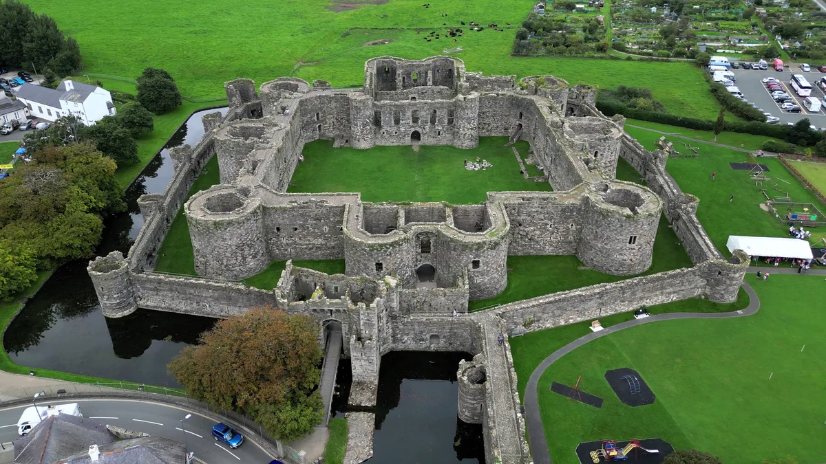
Beaumaris Castle
Beaumaris Castle — castle in Beaumaris, Anglesey, Wales.
 📷 3
📷 3Castles · North Wales
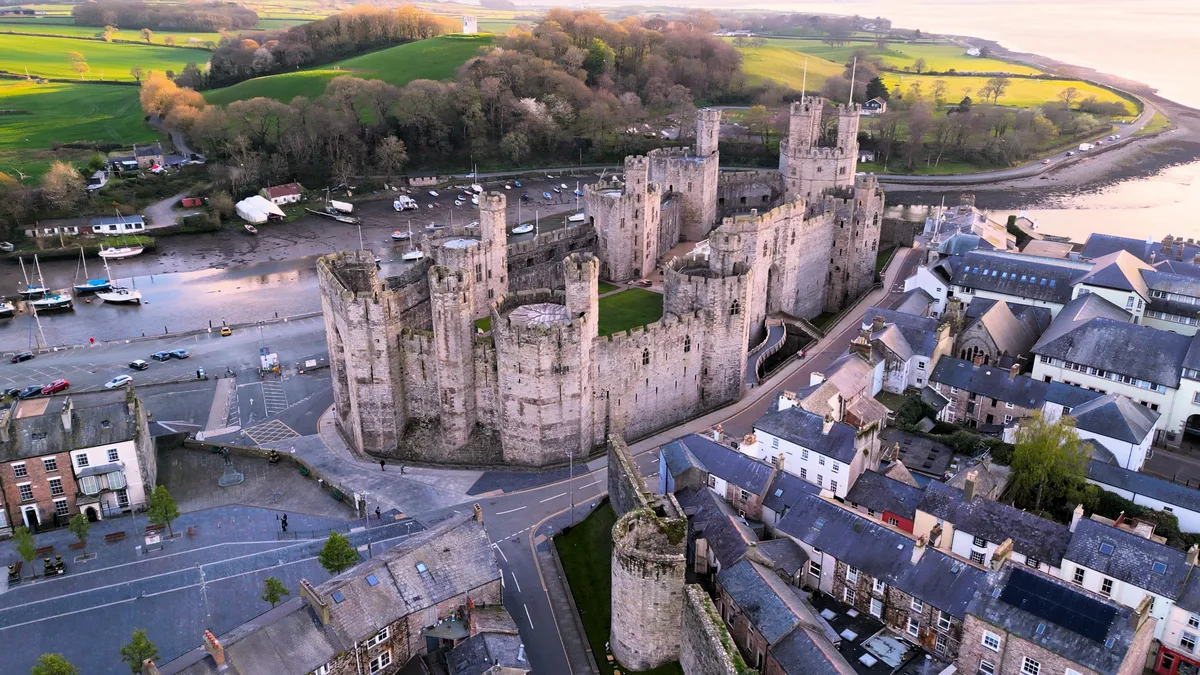
Caernarfon Castle
Caernarfon Castle — castle in Caernarfon, North Wales.
 📷 4
📷 4Castles · North Wales
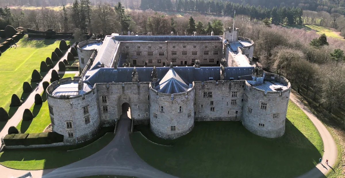
Chirk Castle
Chirk Castle — medieval fortress in Wrexham County Borough, Wales.
 📷 5
📷 5Castles · North Wales
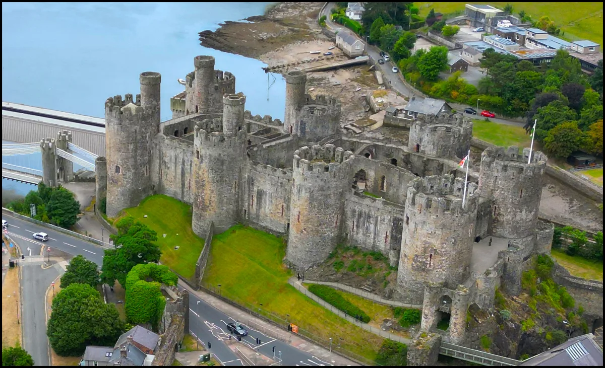
Conwy Castle
Conwy Castle — castle in Conwy, North Wales.
Frequently asked questions
- Where is Caer Gybi?
- Caer Gybi is in North Wales, United Kingdom (postcode LL65 1HG), in the parish of Holyhead.
- What is Caer Gybi?
- Caer Gybi — remains of a Roman fortlet in Holyhead, Anglesey, Wales, UK.
- How do I get to Caer Gybi?
- The nearest railway station is Holyhead, about 0.5 km away. Drivers can use postcode LL65 1HG.
- Is Caer Gybi a listed building?
- Caer Gybi is officially recognised as scheduled monument listed.
- Does Caer Gybi charge admission?
- Caer Gybi typically charges admission. Check the official site for current ticket prices and opening hours.
- How do I get to Caer Gybi?
- The nearest railway station is Holyhead, about 0.5 km away. Drivers can navigate to postcode LL65 1HG.