
Towns & cities · East Midlands
Byards Leap
Byards Leap — village in Lincolnshire, United Kingdom.

Wikimedia Commons contributors — see linked file page for photographer and licence licence

Plan your visit
- Typical visit
- 3 h–6 h
- Nearest railway station
- Ancaster · 5.0 km
- Free entry
- Family-friendly
- Dog-friendly
Getting there & planning your visit
Byards Leap is located in Lincolnshire, with the postcode NG34 8EY. The nearest railway station is Ancaster, which is 5 km away. Entry to Byards Leap is free.
About
Byards Leap is a town, city, village or settlement in the United Kingdom. Wikidata describes it as: "village in Lincolnshire, United Kingdom". Coordinates: 53.0327°, -0.5252°.
Photo gallery
See it from the streetimagery from 2025
Imagery © Mapillary contributors, CC BY-SA 4.0
Protected designations
- Site of Special Scientific Interest: High Dyke SSSI
Designations sourced from Natural England open data under OGL v3.
From the Wikipedia article
Byard's Leap is a hamlet in the civil parish of Cranwell, Brauncewell and Byard's Leap, in the North Kesteven district of Lincolnshire, England. It is situated approximately 3 miles (5 km) west from Cranwell. The hamlet is associated with various legends. Byard's Leap is associated with the activities of the Knights Templar, who perhaps held tournaments and jousts on the site. It lay at the southern end of their Temple Bruer military training ground.
Excerpt from Wikipedia under CC BY-SA 4.0. See the source article linked in Sources below.
Background
History
Bayard Leap was formerly an extra-parochial tract. In 1858 Byards Leap became a separate civil parish, then on 1 April 1931 the parish was abolished and merged with Cranwell to form Cranwell and Byards Leap. In 1921 the parish had a population of 21.
Sourced from Wikipedia under CC BY-SA 4.0.
- Coordinates
- 53.0327, -0.5252
- County
- Lincolnshire
- District
- North Kesteven
- Parish
- Cranwell, Brauncewell and Byard's Leap
- Postcode
- NG34 8EY
- Parliamentary constituency
- Sleaford and North Hykeham
- Nearest railway station
- Ancaster — 5 km
Sources
- wikidata: Q611992 (CC0)
- wikipedia: Byard's Leap (CC BY-SA 4.0)
- commons: Byards Leap - geograph.org.uk - 130593.jpg (CC BY-SA 4.0)
Other places nearby

Royal Air Force Officer Training Academy
Other places · 1.1 km

Hawker Siddeley Domine T.1 XS727
Memorials & monuments · 1.3 km
BAC Jet Provost T.5A XW353
Memorials & monuments · 1.3 km

Caythorpe Court
Historic houses · 3.4 km

Brauncewell Horse Gin
Historic houses · 3.4 km

Cranwell Aviation Heritage Centre
Museums · 3.7 km

Normanton Hill
Mountains & hills · 4.1 km

Fulbeck
Historic churches · 4.1 km

Fulbeck War Memorial
Memorials & monuments · 4.2 km

Cranwell Cross
Historic houses · 4.3 km
Cranwell
Museums · 4.3 km

North Rauceby
Historic churches · 4.3 km
Byards Leap is a charming village in Lincolnshire, located within the East Midlands region. Visitors can explore the historic St Vincent's Church in Caythorpe or the beautiful St Nicholas' Church in Fulbeck. For a relaxing break, the Brownlow Arms Public House offers a welcoming atmosphere for locals and tourists alike.
At a glance
- Administrative county
- Lincolnshire
- Constituency
- Sleaford and North Hykeham
- Top categories near here
Things to see in Byards Leap
56 attractions within 12 km — showing the 24 most editorially-significant. Full guide: things to do in Byards Leap →
 📷 5
📷 5Historic pubs · East Midlands
Brownlow Arms Public House
Brownlow Arms Public House in England East, United Kingdom.
 📷 5
📷 5Historic pubs · East Midlands
The Waggon And Horses
The Waggon And Horses in England East, United Kingdom.
.jpg?width=1200) 📷 3
📷 3Historic houses · East Midlands
Ancaster Hall
Ancaster Hall — house in Ancaster, South Kesteven, England, UK.
📷 3Historic houses · East Midlands
Caythorpe Court
Caythorpe Court — country house in Grantham, Lincolnshire, England, UK.
.jpg?width=1200) 📷 3
📷 3Historic houses · East Midlands
Caythorpe Hall
Caythorpe Hall — house in Caythorpe, South Kesteven, England, UK.
 📷 3
📷 3Historic houses · East Midlands
Fulbeck Hall
Fulbeck Hall — house in Fulbeck, South Kesteven, England, UK.
 Flagship📷 3
Stately homes · East Midlands
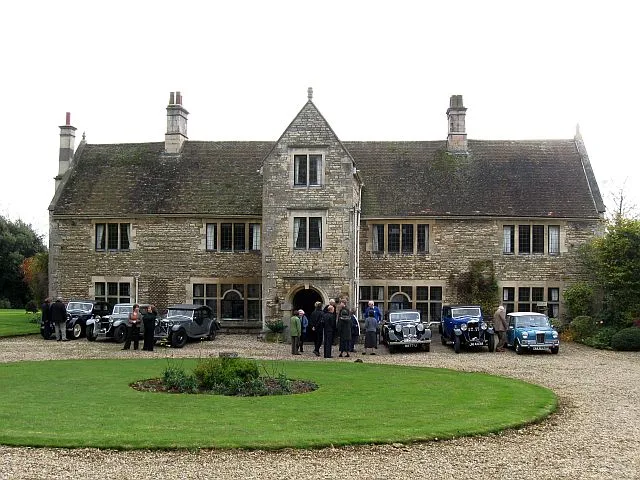
Fulbeck Manor
Fulbeck Manor — manor house in Fulbeck, Lincolnshire, England, UK.
.jpg?width=1200) 📷 3
📷 3Historic houses · East Midlands
High House
High House — house in Leadenham, North Kesteven, Lincolnshire, England, UK.
 📷 3
📷 3Historic houses · East Midlands
Pickworth House
Pickworth House — house in Caythorpe, South Kesteven, England, UK.
 📷 3
📷 3Historic churches · East Midlands
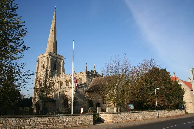
St Martin's Church, Ancaster
St Martin's Church, Ancaster — church in Ancaster, Lincolnshire, England, UK.
 📷 3
📷 3Historic churches · East Midlands
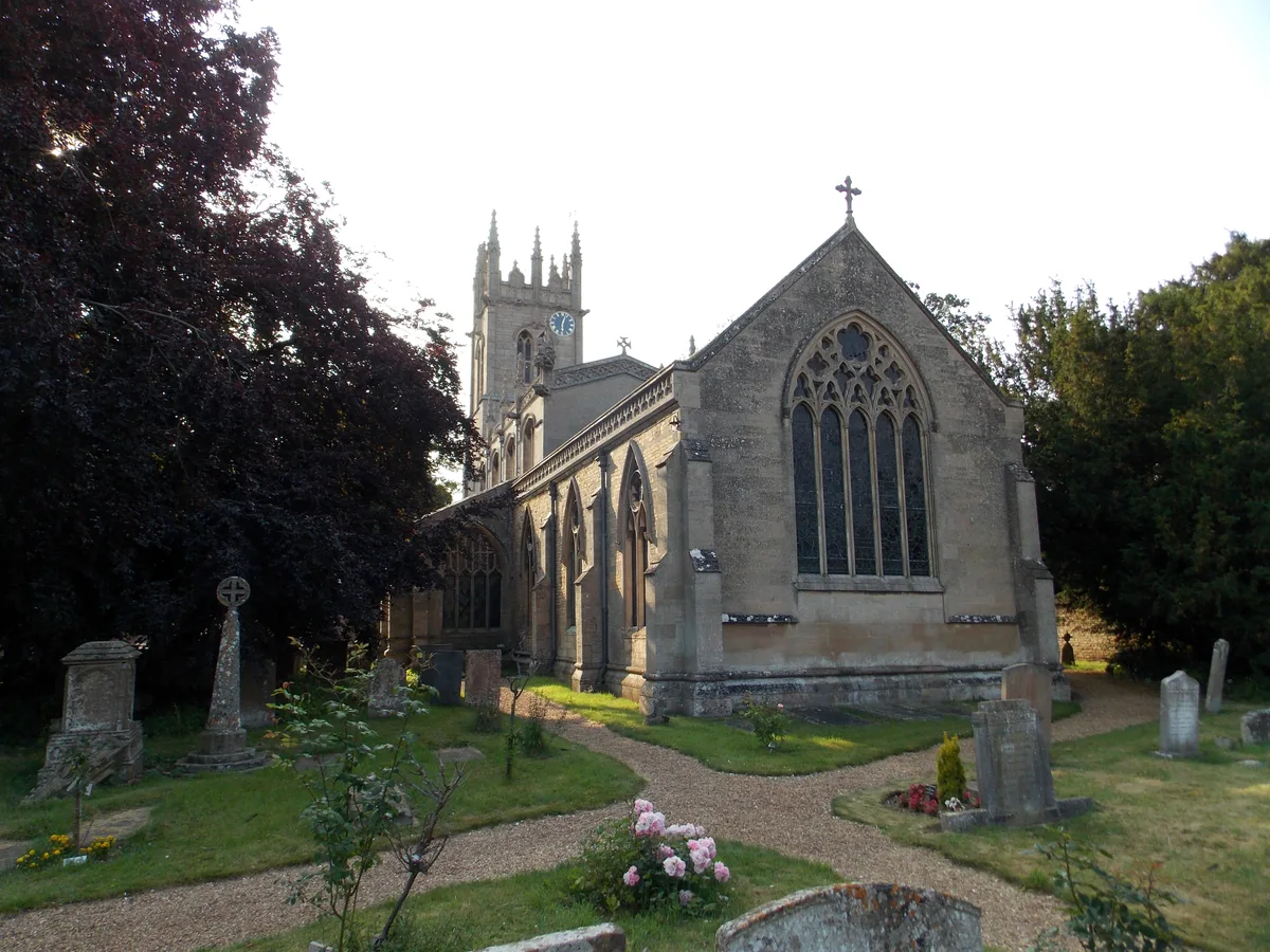
St Nicholas' Church, Fulbeck
St Nicholas' Church, Fulbeck — church in Fulbeck, Lincolnshire, England, UK.
 📷 4
📷 4Historic churches · East Midlands
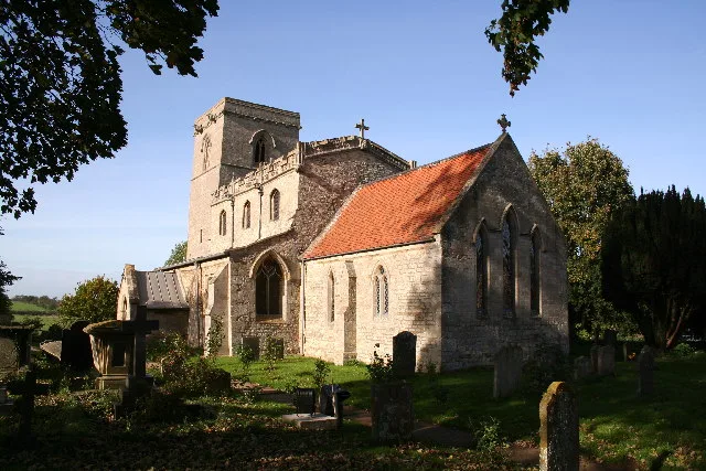
St Nicholas' Church, Normanton
St Nicholas' Church, Normanton — Grade II* listed church in Normanton, Lincolnshire, England, UK.
 📷 4
📷 4Historic churches · East Midlands
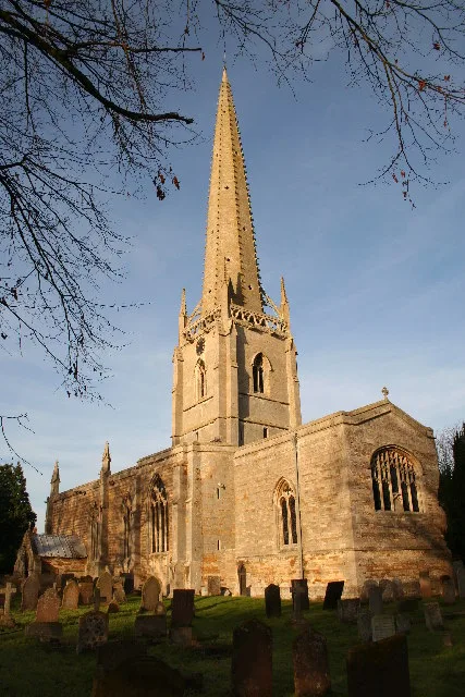
St Vincent's Church, Caythorpe
St Vincent's Church, Caythorpe — church in Caythorpe, Lincolnshire, England, UK.
 📷 3
📷 3Archaeological sites · East Midlands
Ancaster Camp
Ancaster Camp — an archaeological site in East Midlands, United Kingdom.
 📷 3
📷 3Archaeological sites · East Midlands
Honington Camp
Honington Camp — an archaeological site in East Midlands, United Kingdom.
 📷 3
📷 3Memorials & monuments · East Midlands
Ancaster village cross
Ancaster village cross — a memorial in East Midlands, United Kingdom.
📷 3Historic houses · East Midlands
Brauncewell Horse Gin
Brauncewell Horse Gin — a historic house in East Midlands, United Kingdom.
📷 3Museums · East Midlands
Cranwell Aviation Heritage Centre
Cranwell Aviation Heritage Centre — a museum in East Midlands, United Kingdom.
 📷 3
📷 3Historic houses · East Midlands
Pump and milestone
Pump and milestone — a Grade II-listed historic house in england-east-midlands, United Kingdom.
📷 3Memorials & monuments · East Midlands
Fulbeck village cross
Fulbeck village cross — a Grade II-listed memorial in england-east-midlands, United Kingdom.
📷 3Historic houses · East Midlands
Cranwell Cross
Cranwell Cross — a Grade II-listed historic house in england-east-midlands, United Kingdom.
 📷 3
📷 3Historic churches · East Midlands
Churchyard cross, St Vincent's churchyard
Churchyard cross, St Vincent's churchyard — a Grade II-listed church in england-east-midlands, United Kingdom.
 📷 3
📷 3Historic houses · East Midlands
North Rauceby village cross
North Rauceby village cross — a Grade II-listed historic house in england-east-midlands, United Kingdom.
 📷 3
📷 3Memorials & monuments · East Midlands
North Rauceby War Memorial
North Rauceby War Memorial — Grade II listed building-listed memorial in england-east-midlands, United Kingdom.
Nearby
📷 5Other places · East Midlands
Royal Air Force Officer Training Academy
Royal Air Force Officer Training Academy — a other in england-east-midlands, United Kingdom.
📷 3Memorials & monuments · East Midlands
Hawker Siddeley Domine T.1 XS727
Hawker Siddeley Domine T.1 XS727 — a memorial in East Midlands, United Kingdom.
📷 3Memorials & monuments · East Midlands
BAC Jet Provost T.5A XW353
BAC Jet Provost T.5A XW353 — a memorial in East Midlands, United Kingdom.
📷 3Historic houses · East Midlands
Caythorpe Court
Caythorpe Court — country house in Grantham, Lincolnshire, England, UK.
📷 3Historic houses · East Midlands
Brauncewell Horse Gin
Brauncewell Horse Gin — a historic house in East Midlands, United Kingdom.
📷 3Museums · East Midlands
Cranwell Aviation Heritage Centre
Cranwell Aviation Heritage Centre — a museum in East Midlands, United Kingdom.
Where to eat & stay near Byards Leap
Places to stay
 📷 5
📷 5Campsites · East Midlands
Woodland Waters
Woodland Waters — a campsite in england east midlands.
 📷 5
📷 5Caravan parks · East Midlands
Wagtail Country Park
Wagtail Country Park — a caravan park in england east midlands.
 📷 5
📷 5Campsites · East Midlands
Oakhill Leisure Ltd
Oakhill Leisure Ltd — a campsite in england east midlands.
 📷 5
📷 5Caravan parks · East Midlands
Skybarn Farm CAMC CL
Skybarn Farm CAMC CL — a caravan park in england east midlands.
 📷 5
📷 5 📷 3
📷 3Caravan parks · East Midlands
Cathedral View Holiday Park
Cathedral View Holiday Park — a caravan park in england east midlands.
Places to eat & drink
📷 5Historic pubs · East Midlands
The Waggon And Horses
The Waggon And Horses in England East, United Kingdom.
 📷 5
📷 5Historic pubs · East Midlands
The Marquis Of Granby
The Marquis Of Granby in England East, United Kingdom.
📷 5Historic pubs · East Midlands
Brownlow Arms Public House
Brownlow Arms Public House in England East, United Kingdom.
 📷 5
📷 5Historic pubs · East Midlands
The Lion And Royal Public House
The Lion And Royal Public House in England East, United Kingdom.
 📷 7
📷 7Historic pubs · East Midlands
The Marquis Of Granby Public House And Attached Outbuildings
The Marquis Of Granby Public House And Attached Outbuildings in England East, United Kingdom.
 📷 7
📷 7More towns in this region
 📷 5
📷 5 📷 5
📷 5Towns & cities · East Midlands
Marholm
Marholm — village and civil parish in Cambridgeshire, UK.
 📷 5
📷 5Towns & cities · East Midlands
Thornhaugh
Thornhaugh — village and civil parish in Cambridgeshire, UK.
 Flagship📷 4
Towns & cities · East Midlands
Austerfield
Austerfield — village and civil parish in South Yorkshire, England, UK.
Frequently asked questions
- Where is Byards Leap?
- Byards Leap is in Lincolnshire, the East Midlands, United Kingdom (postcode NG34 8EY), in the parish of Cranwell, Brauncewell and Byard's Leap.
- What is Byards Leap?
- Byards Leap — village in Lincolnshire, United Kingdom.
- How do I get to Byards Leap?
- The nearest railway station is Ancaster, about 5.0 km away. Drivers can use postcode NG34 8EY.
- Is Byards Leap a protected site?
- Yes — Byards Leap is part of the High Dyke SSSI Site of Special Scientific Interest.
- Is Byards Leap free to visit?
- Yes, Byards Leap is free to enter.
- How do I get to Byards Leap?
- The nearest railway station is Ancaster, about 5.0 km away. Drivers can navigate to postcode NG34 8EY.