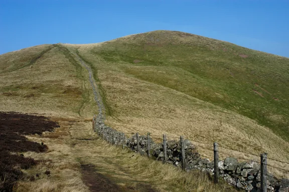
Mountains & hills · Central Scotland
Burnt Rig
Burnt Rig — mountain in scotland central. Elevation: 441 m.

M J Richardson — CC BY-SA 2.0 via Wikimedia Commons licence
Plan your visit
- Typical visit
- 3 h–8 h
- Best time of year
- Late spring – early autumn (May–Oct)
About
Burnt Rig is a mountain located in scotland central. Elevation: 441 m. A named British peak recorded in OpenStreetMap. Peaks are typically named on Ordnance Survey 1:50k mapping.
Photo gallery
Place summary
Burnt Rig is a mountain located in central Scotland. This prominent peak offers a range of outdoor activities for hikers and climbers, with various trails catering to different skill levels. The area is characterised by its rugged terrain and scenic views typical of the Scottish landscape. Visitors can expect a natural setting that is ideal for exploration and appreciation of the outdoors.
AI-generated from the structured facts on this page (operator, designation, listing, era). Not a substitute for visiting.
- Coordinates
- 55.5581, -3.9024
Sources
- osm: n3614679534 (ODbL)
Other places nearby
Loading nearby places…
Nearby
 📷 5
📷 5Mountains & hills · Central Scotland
Henry's Hill
Henry's Hill — mountain in scotland central. Elevation: 445 m.
📷 5Mountains & hills · Central Scotland
Windrow Hill
Windrow Hill — mountain in scotland central. Elevation: 397 m.
📷 5Mountains & hills · Central Scotland
Common Hill
Common Hill — mountain in scotland central. Elevation: 488 m.
📷 5Mountains & hills · Central Scotland
Broomerside Hill
Broomerside Hill — mountain in scotland central. Elevation: 463 m.
 📷 5
📷 5Mountains & hills · Central Scotland
Avermarks Hill
Avermarks Hill — mountain in scotland central. Elevation: 432 m.
 📷 5
📷 5Mountains & hills · Central Scotland
Longhouse Hill
Longhouse Hill — mountain in scotland central. Elevation: 338 m.
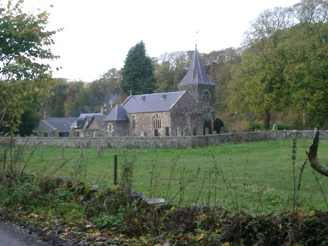
Where to eat & stay near Burnt Rig
Places to stay
 📷 5
📷 5Campsites · Central Scotland
Collierhall Farm Caravan Site
Collierhall Farm Caravan Site — a campsite in scotland central.
 📷 5
📷 5Hotels · Central Scotland
New Lanark Mill Hotel
New Lanark Mill Hotel — a hotel in scotland central.
 📷 5
📷 5Hostels · Central Scotland
Wee Row Youth Hostel
Wee Row Youth Hostel — a hostel in scotland central.
 📷 5
📷 5Caravan parks · Central Scotland
Clyde Valley Caravan Park
Clyde Valley Caravan Park — a caravan park in scotland central.
 📷 5
📷 5Hostels · Central Scotland
Scottish Equi Complex
Scottish Equi Complex — a hostel in scotland central.
 📷 5
📷 5Caravan parks · Scottish Lowlands
Mount View Caravan Park
Mount View Caravan Park — a caravan park in scotland lowlands.
Places to eat & drink
 📷 5
📷 5Historic pubs · Central Scotland
Douglas Arms Hotel, Douglas
Douglas Arms Hotel, Douglas in Scotland Central, United Kingdom.
 📷 5
📷 5Historic pubs · Central Scotland
The Clydesdale Inn
The Clydesdale Inn in Scotland Central, United Kingdom.
 📷 5
📷 5Historic pubs · Scottish Lowlands
Post Horn Hotel, Crawford
Post Horn Hotel, Crawford in Scotland Lowlands, United Kingdom.
 📷 5
📷 5Historic pubs · Scottish Lowlands
Hopetoun Arms Hotel, Leadhills
Hopetoun Arms Hotel, Leadhills in Scotland Lowlands, United Kingdom.
 📷 5
📷 5Historic pubs · Scottish Lowlands
Queensberry Arms Hotel
Queensberry Arms Hotel in Scotland Lowlands, United Kingdom.
 📷 5
📷 5Historic pubs · Central Scotland
74 Main Street, Carnwath
74 Main Street, Carnwath in Scotland Central, United Kingdom.
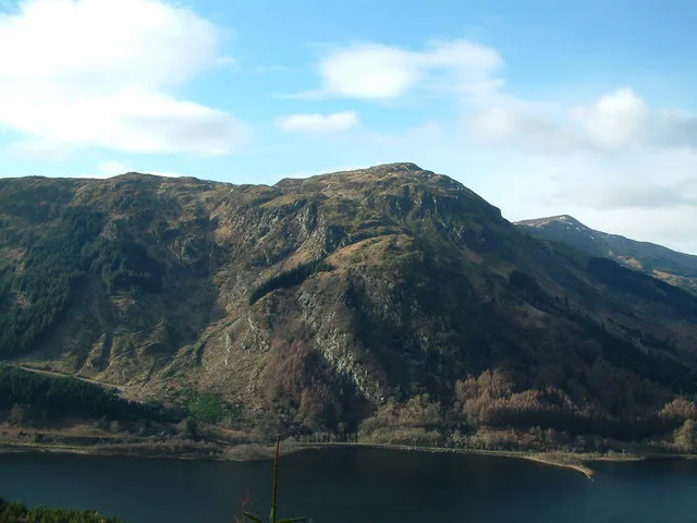
More mountains in this region
 📷 3
📷 3Mountains & hills · Central Scotland
Abbey Hill
Abbey Hill — Named summit at 278 m.
 📷 3
📷 3Mountains & hills · Central Scotland
Aberlady Bay
Aberlady Bay — bay on the north coast of East Lothian, Scotland, UK.
 📷 3
📷 3Mountains & hills · Central Scotland
Allermuir Hill
Allermuir Hill — Named summit at 493 m.
 📷 3
📷 3Mountains & hills · Central Scotland
Ardnandave
Ardnandave — Named summit at 715 m.
Frequently asked questions
- Where is Burnt Rig?
- Burnt Rig is in central Scotland, United Kingdom.
- What is Burnt Rig?
- Burnt Rig — mountain in scotland central. Elevation: 441 m.
- How do I get to Burnt Rig?
- Its coordinates are 55.5581°, -3.9024°.