Wildlife reserves · West Midlands
Buckingham Sand Pit
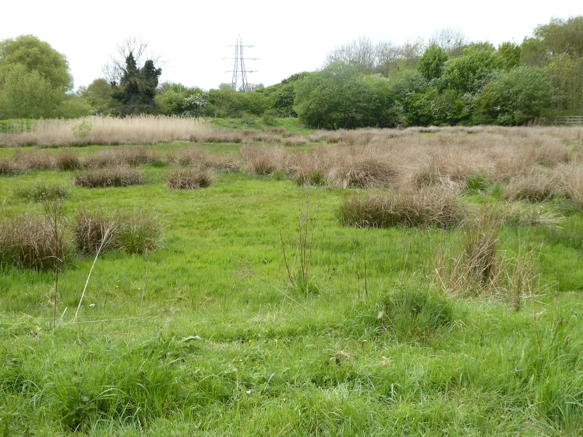
Buckingham Sand Pit — local nature reserve in Buckinghamshire, England.

Wikimedia Commons contributors — see linked file page for photographer and licence licence
Plan your visit
- Typical visit
- 2 h–4 h
- Best time of year
- Autumn & winter (migration & wildfowl)
- Free entry
- Dog-friendly
About
Buckingham Sand Pit is a wildlife reserve in the United Kingdom. Wikidata describes it as: "local nature reserve in Buckinghamshire, England". Coordinates: 52.0036°, -0.9831°.
Photo gallery
From the Wikipedia article
Buckingham Sand Pit is a 1.8 hectares (4.4 acres) Local Nature Reserve in Buckingham. It is owned and managed by Aylesbury Vale District Council. The site is important geologically as it is a rare exposure of Quaternary Ice Age layers, showing clays, sands and pebble layers from the Anglian Ice Age around 450,000 years ago, when Buckingham was under two kilometres of ice. There is also evidence for the tundra phase which followed. The site is kept locked and there is no public access.
Excerpt from Wikipedia under CC BY-SA 4.0. See the source article linked in Sources below.
- Coordinates
- 52.0036, -0.9831
- District
- Buckinghamshire
- Parish
- Buckingham
- Postcode
- MK18 1PB
- Parliamentary constituency
- Buckingham and Bletchley
- Official site
- buckinghamoldgaol.org.uk
Sources
- wikidata: Q23759038 (CC0)
- wikipedia: Buckingham Sand Pit (CC BY-SA 4.0)
- commons: Buckingham Sand Pit 3.JPG (CC BY-SA 4.0)
Other places nearby
Loading nearby places…
Nearby
 📷 3
📷 3Museums · West Midlands
Buckinghamshire Military Museum Trust
Buckinghamshire Military Museum Trust — a museum in england-west-midlands, United Kingdom.
📷 4Gardens · West Midlands
Buckingham Old Gaol
Buckingham Old Gaol — a garden in england-west-midlands, United Kingdom.
 📷 3
📷 3Follies · West Midlands
Cobham Cottage Summerhouse
Cobham Cottage Summerhouse — Folly or eyecatcher.
 📷 3
📷 3Chapels · West Midlands
Buckingham Chantry Chapel
Buckingham Chantry Chapel — chapel in Buckingham, UK.
Hotels · West Midlands
Villiers Hotel
Villiers Hotel — a hotel in england west midlands.
 📷 3
📷 3Historic bridges · West Midlands
London Bridge And Causeway To North
London Bridge And Causeway To North — Grade II listed building-listed bridge in england-west-midlands, United Kingdom.
More places in this region
 Flagship📷 3
Wildlife reserves · West Midlands
Abington Meadows
Abington Meadows — nature reserve in the United Kingdom.
 📷 5
📷 5Wildlife reserves · West Midlands
Brandon Marsh
Brandon Marsh — nature reserve in the United Kingdom.
 📷 5
📷 5Wildlife reserves · West Midlands
Bugbrooke Meadows
Bugbrooke Meadows — nature reserve in the United Kingdom.
 📷 5
📷 5Wildlife reserves · West Midlands
Chorleywood Common
Chorleywood Common — nature reserve in Hertfordshire, England.
Frequently asked questions
- Where is Buckingham Sand Pit?
- Buckingham Sand Pit is in the West Midlands, United Kingdom (postcode MK18 1PB), in the parish of Buckingham.
- Is Buckingham Sand Pit free to visit?
- Yes, Buckingham Sand Pit is free to enter.
- How do I get to Buckingham Sand Pit?
- Drivers can navigate to postcode MK18 1PB. It sits within the Buckingham and Bletchley parliamentary constituency.
- Are dogs allowed at Buckingham Sand Pit?
- Most wildlife reserves allow dogs on lead only, with restrictions during ground-nesting bird season (March-July). Check signage at the reserve.