
Parks · South Wales
Bryngarw Country Park
In or near Ewenny.
Bryngarw Country Park — park in Bridgend County Borough, United Kingdom.

Wikimedia Commons contributors — see linked file page for photographer and licence licence

Plan your visit
- Typical visit
- 1 h–2 h
- Nearest railway station
- Tondu · 1.3 km
- Free entry
- Family-friendly
- Dog-friendly
Getting there & planning your visit
To visit Bryngarw Country Park, the nearest railway station is Tondu, which is 1.3 km away. The postcode for sat-nav is CF32 9LD. Entry to the park is free.
About
Bryngarw Country Park is a public park in the United Kingdom. Wikidata describes it as: "park in Bridgend County Borough, United Kingdom". Coordinates: 51.5543°, -3.5802°.
Photo gallery
From the Wikipedia article
Bryngarw Country Park is made up of 48 hectares (120 acres) and is situated on the west bank of the Afon Garw, at the mouth of the Garw Valley in the Bridgend County Borough, Wales. The western boundary is marked by the Brynmenyn-Bettws road and the River Graw is its eastern boundary. 18 hectares of open meadowlands, subjects of grazing tenancy agreements and hence not open to the public, surrounds the Country Park. The Country Park and Bryngarw House occupies the remaining 30 hectares of the estate. Bryngarw House and its associated formal gardens (including the lawn, shrubbery, lake and oriental gardens) account for 1.5 hectares of the park. The rest of the park is predominantly wooded (broadleaf, coniferous and mixed woodland) with areas of meadow, wetland and freshwater, formal garden and areas for amenity use. Bryngarw Park is a Grade II listed park and garden on the Cadw/ICOMOS Register of Parks and Gardens of Special Historic Interest in Wales. The house and gardens lie within the Strategic Coalfield Plateau, Landscape Conservation Area, described in local legislation (Ogre Borough Local Plan and emerging Urban Development Plan). This designation refers to the wooded, gently sloping agricultural and parkland landscape that characterizes the park. In 2010, the park was designated as a Key Strategic Site under the Valleys Partnership Initiative Action Program and is subsequently receiving funding from the Wales Assembly Government (WAG) Environmental Improvement Grant and Bridgend County Borough Council's Strategic Regeneration Fund. The park has also been awarded grant money from ‘One Historic Garden’ Centre of Excellence Scheme and has been designated one of eight ‘Visit Wales Sustainable Tourism, Historic Gardens Centre of Excellence’ sites. This money from both funds will be used in autumn of 2011 to update and expand the existing visitor canter, refurbish the café and toilets, improve the existing car park and to significantly enhance the oriental…
Excerpt from Wikipedia under CC BY-SA 4.0. See the source article linked in Sources below.
Background
History
Bryngarw House is thought to have been built in the 15th century and used as a farmhouse; although there is no documentation there is some architectural evidence to support this theory. The first recorded date of the existence of the house is in 1743. In 1775 John Popkin gave the house and its grounds to his sister Frances as a wedding present when she married into the Traherne family; the building appears to have been extensively modified during their residence. The last member of the Traherne family to occupy the house was Captain Onslow Powell Traherne, a well travelled Victorian industrialist, who apparently renovated and extended the house and laid out the existing formal gardens…
Visiting
The visitor centre, café and toilet buildings are set at the north end of the car park. The building was constructed and furnished in 1982. One notable ecological aspect of these buildings is that their roof voids are known to support summer bat roosts for soprano pipistrelle and brown long-eared bats.
Sourced from Wikipedia under CC BY-SA 4.0.
- Coordinates
- 51.5543, -3.5802
- District
- Bridgend
- Parish
- Ynysawdre
- Postcode
- CF32 9LD
- Parliamentary constituency
- Bridgend
- Nearest railway station
- Tondu — 1.3 km
Sources
- wikidata: Q4980952 (CC0)
- wikipedia: Bryngarw Country Park (CC BY-SA 4.0)
- commons: Bryngarw Country Park, Cafe 2011.jpg (CC BY-SA 4.0)
Other places nearby

Ogmore School
Natural landmarks · 1.0 km

Ynysawdre Mound, St Brides Minor
Literary houses · 1.1 km

Tondu
Villages · 1.2 km

Church Of St David, Bettws
Historic churches · 1.8 km

Bowen/Roberts Monuments in Llansantfrraid churchyard
Memorials & monuments · 1.8 km

Church of St Ffraid aka St Bride, Llansantffraid
Historic churches · 1.8 km
Monument to Morgan Morgan in Llansantffraid churchyard
Memorials & monuments · 1.9 km
Williams monument and railings in Llansantffraid churchyard
Memorials & monuments · 1.9 km

Pont-y-rhyd-ddu
Historic bridges · 2.1 km

Bridgend Minature Railway
Theme parks · 2.4 km

Llangeinor
Villages · 2.5 km
Hide
Viewpoints · 2.6 km
Nearby
📷 5Natural landmarks · South Wales
Ogmore School
Ogmore School — a school heritage in wales-south, United Kingdom.
📷 5Literary houses · South Wales
Ynysawdre Mound, St Brides Minor
Ynysawdre Mound, St Brides Minor — a literary house museum in wales south.
📷 5📷 5Historic churches · South Wales
Church Of St David, Bettws
Church Of St David, Bettws — Grade I listed building-listed church in wales-south, United Kingdom.
📷 4Memorials & monuments · South Wales
Bowen/Roberts Monuments in Llansantfrraid churchyard
Bowen/Roberts Monuments in Llansantfrraid churchyard — Grade II listed building-listed memorial in wales-south, United Kingdom.
📷 5Historic churches · South Wales
Church of St Ffraid aka St Bride, Llansantffraid
Church of St Ffraid aka St Bride, Llansantffraid — Grade II listed building-listed church in wales-south, United Kingdom.
Where to eat & stay near Bryngarw Country Park
Places to stay
 📷 5
📷 5 📷 5
📷 5Campsites · South Wales
Our Welsh Cavaran & Camping
Our Welsh Cavaran & Camping — a campsite in wales south.
 📷 5
📷 5Caravan parks · South Wales
Cae Garw Caravan Site
Cae Garw Caravan Site — a caravan park in wales south.
 📷 5
📷 5Campsites · South Wales
Red rock camping
Red rock camping — a campsite in wales south.
 📷 5
📷 5 📷 5
📷 5Places to eat & drink
 📷 7
📷 7Historic pubs · South Wales
Tŷ Mawr Aka The Great House
Tŷ Mawr Aka The Great House in Wales South, United Kingdom.

Restaurants · South Wales
The Old Mill
The Old Mill — a restaurant in wales south. Cuisine: american. Brand: Harvester.
 📷 3
📷 3Restaurants · South Wales
The Golden Mile
The Golden Mile — a restaurant in wales south.
 📷 5
📷 5 📷 5
📷 5Restaurants · South Wales
Bagle Brook
Bagle Brook — a restaurant in wales south. Cuisine: burger;steak house. Brand: Beefeater.
 📷 5
📷 5More parks in this region
 📷 4
📷 4Parks · South Wales
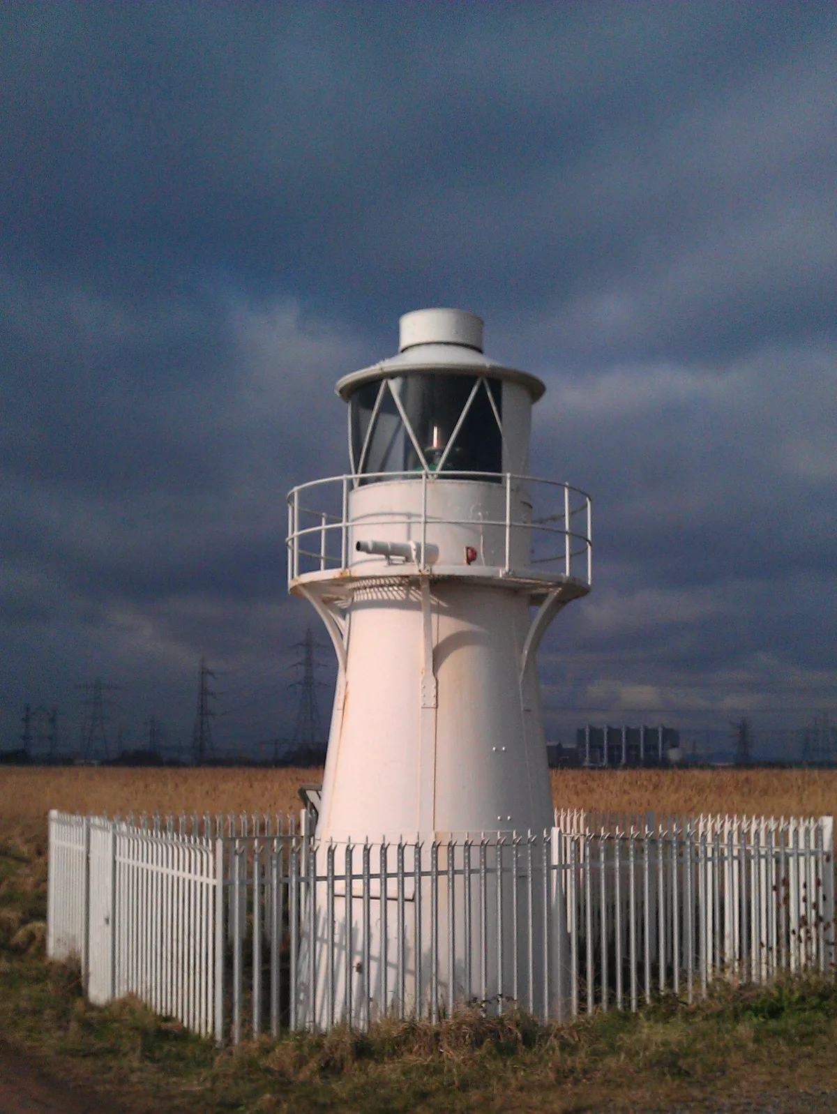
Newport Wetlands
Newport Wetlands — Site of Special Scientific Interest in Wales.
 📷 4
📷 4 📷 5
📷 5 📷 3
📷 3Frequently asked questions
- Where is Bryngarw Country Park?
- Bryngarw Country Park is in South Wales, United Kingdom (postcode CF32 9LD), in the parish of Ynysawdre.
- What is Bryngarw Country Park?
- Bryngarw Country Park — park in Bridgend County Borough, United Kingdom.
- How do I get to Bryngarw Country Park?
- The nearest railway station is Tondu, about 1.3 km away. Drivers can use postcode CF32 9LD.
- Who owns Bryngarw Country Park?
- Bryngarw Country Park is owned by | coords = {{coord|51.554339|-3.580244|display=inline,title}}.
- Is Bryngarw Country Park free to visit?
- Yes, Bryngarw Country Park is free to enter.
- How do I get to Bryngarw Country Park?
- The nearest railway station is Tondu, about 1.3 km away. Drivers can navigate to postcode CF32 9LD.