Wildlife reserves · West Midlands
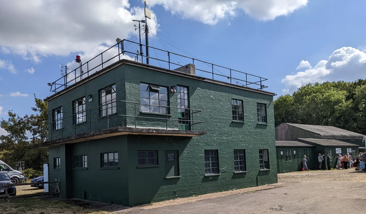
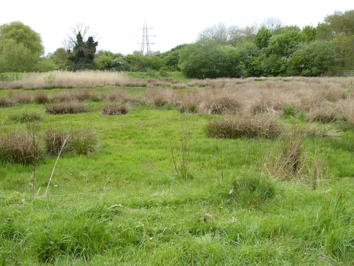
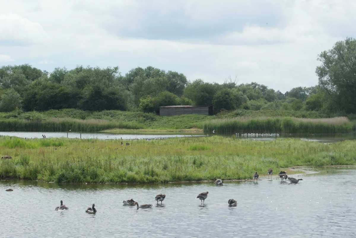
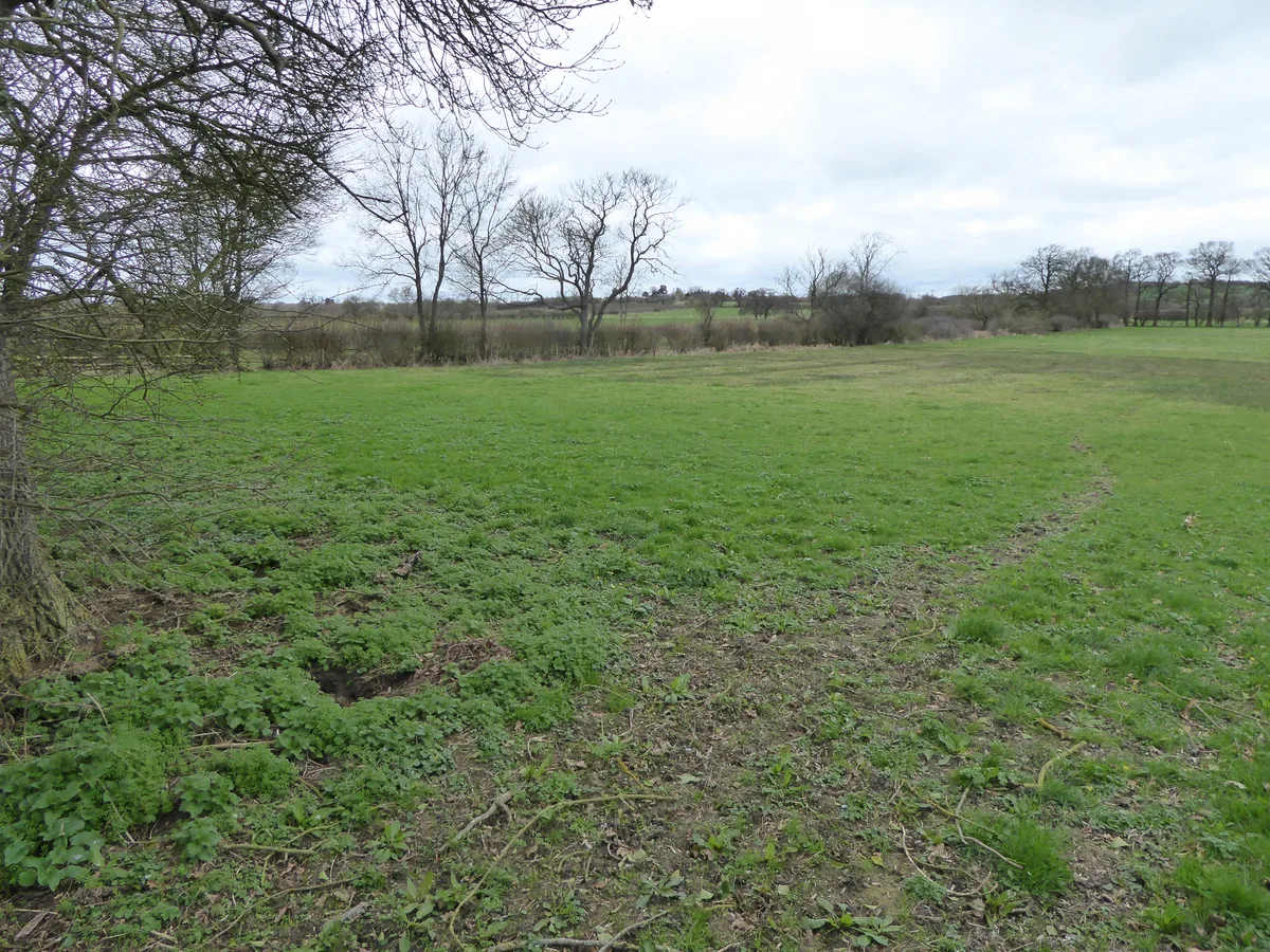
Browns Wood Local Nature Reserve
Browns Wood Local Nature Reserve is a wildlife reserve in the United Kingdom.

Wikimedia Commons licence
Plan your visit
- Typical visit
- 2 h–4 h
- Best time of year
- Autumn & winter (migration & wildfowl)
- Nearest railway station
- Bedford · 5.1 km
- Free entry
- Dog-friendly
About
Browns Wood Local Nature Reserve is a wildlife reserve in the United Kingdom. Coordinates: 52.1797°, -0.5016°. This entry is part of The Great Britain Guide, a free, ad-free, open-data tourist directory.
Photo gallery
From the Wikipedia article
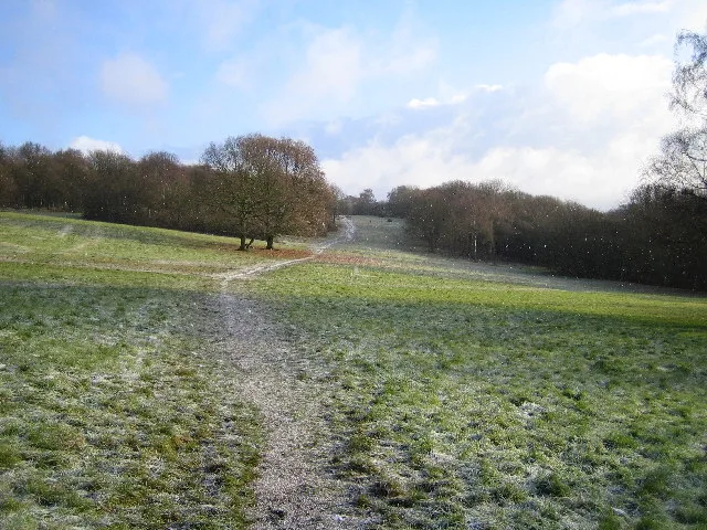
Browns Wood is a six hectare Local Nature Reserve north of Clapham in Bedfordshire. It is owned and managed by Bedford Borough Council. The wood was planted by the Duke of Bedford in the middle of the eighteenth century. It is ancient semi-natural woodland of beech, larch and poplar. Ground flora include wood anemone and nettle leaved bellflower, and there are birds such as great spotted woodpeckers and song thrushes. There is access from Twinwood Road.
Excerpt from Wikipedia under CC BY-SA 4.0. See the source article linked in Sources below.
- Coordinates
- 52.1797, -0.5016
- District
- Bedford
- Parish
- Oakley
- Postcode
- MK41 6AB
- Parliamentary constituency
- North Bedfordshire
- Nearest railway station
- Bedford — 5.1 km
Sources
- wikidata: Q24993488 (CC0)
- wikipedia: Browns Wood Local Nature Reserve (CC BY-SA 4.0)
Other places nearby
Loading nearby places…
Nearby
 📷 3
📷 3Museums · West Midlands
Glenn Miller Museum
Glenn Miller Museum — museum in Clapham, England, UK.
Campsites · London
Camp Site B
Camp Site B — a campsite in england london.
Campsites · London
Overflow Camp Site A
Overflow Camp Site A — a campsite in england london.
Campsites · London
Camp Site A
Camp Site A — a campsite in england london.
 📷 2
📷 2Museums · London
Fire Museum
Fire Museum — a museum in england-london, United Kingdom.
📷 4Museums · London
S.O.44 Museum
S.O.44 Museum — a museum in england-london, United Kingdom.
More places in this region
 Flagship📷 3
Wildlife reserves · West Midlands
Abington Meadows
Abington Meadows — nature reserve in the United Kingdom.
 📷 5
📷 5Wildlife reserves · West Midlands
Brandon Marsh
Brandon Marsh — nature reserve in the United Kingdom.
 📷 5
📷 5Wildlife reserves · West Midlands
Bugbrooke Meadows
Bugbrooke Meadows — nature reserve in the United Kingdom.
 📷 5
📷 5Wildlife reserves · West Midlands
Chorleywood Common
Chorleywood Common — nature reserve in Hertfordshire, England.
Frequently asked questions
- Where is Browns Wood Local Nature Reserve?
- Browns Wood Local Nature Reserve is in the West Midlands, United Kingdom (postcode MK41 6AB), in the parish of Oakley.
- Is Browns Wood Local Nature Reserve free to visit?
- Yes, Browns Wood Local Nature Reserve is free to enter.
- How do I get to Browns Wood Local Nature Reserve?
- The nearest railway station is Bedford, about 5.1 km away. Drivers can navigate to postcode MK41 6AB.
- Are dogs allowed at Browns Wood Local Nature Reserve?
- Most wildlife reserves allow dogs on lead only, with restrictions during ground-nesting bird season (March-July). Check signage at the reserve.