
Gardens · North West England
Brook Farm
In or near Singleton.
Brook Farm — a garden in england-north-west, United Kingdom.

Colin Pyle — CC BY-SA 2.0 via Wikimedia Commons licence

Plan your visit
- Typical visit
- 1 h–2.5 h
- Best time of year
- Spring & summer (Apr–Sep)
- Nearest railway station
- Poulton-le-Fylde · 3.2 km
- Dog-friendly
Getting there & planning your visit
To visit Brook Farm, the nearest railway station is Poulton-le-Fylde, located 3.2 km away. The postcode for sat-nav is FY5 4EB. Entry details are not provided, so please check in advance for accessibility information.
About
Brook Farm is a garden of interest in england-north-west, United Kingdom — drawn from open-data sources for visitor reference. See the linked Wikipedia article for the full description.
Photo gallery
Protected designations
- Site of Special Scientific Interest: Wyre Estuary SSSI
- Ramsar wetland: Morecambe Bay
Designations sourced from Natural England open data under OGL v3.
From the Wikipedia article
Brook Farm in Thornton-Cleveleys, Lancashire, England, was built in 1892. At that time, it was one of the only properties in the area on what was then its farmland. Its earliest known reference (erroneously named Brooks Farm Cottages) in literature is in the 1918 edition of The London Gazette in 1918. In the 1915 edition of The Dairy periodical, a Mrs. S. A. Keirby is stated as owning a dairy farm here. Originally a standalone building, two bays wide, it was extended to the west in the mid–20th century, adding two properties. Several hundred houses were built on and around its former farmland in the late 20th century, on land abutting the former ICI Hillhouse site which is known to be contaminated.
Excerpt from Wikipedia under CC BY-SA 4.0. See the source article linked in Sources below.
- Coordinates
- 53.8765, -2.9950
- County
- Lancashire
- District
- Wyre
- Parish
- Wyre, unparished area
- Postcode
- FY5 4EB
- Parliamentary constituency
- Blackpool North and Fleetwood
- Established
- 1892
- Nearest railway station
- Poulton-le-Fylde — 3.2 km
Sources
- wikidata: Q111181086 (CC0)
- wikipedia: Brook Farm (Thornton-Cleveleys, Lancashire) (CC BY-SA 4.0)
Other places nearby

Ingledene Caravan Site
Caravan parks · 0.6 km

Waters Edge Country Park
Caravan parks · 0.6 km

Waters Edge Country Park
Caravan parks · 0.8 km

Thornton, Lancashire
Museums · 0.8 km

Stannah House Caravan Park
Caravan parks · 1.0 km
Stannah House Caravan Park
Campsites · 1.1 km

Marsh Mill
Windmills · 1.1 km

Thornton Little Theatre
Theatres · 1.1 km
Thornton-Cleveleys War Memorial
Public art & sculpture · 1.2 km

Wyre Country Park
Caravan parks · 1.7 km
Christ Church, Thornton
Historic churches · 1.8 km

Thornton
Villages · 1.8 km
Nearby
📷 5Caravan parks · North West England
Ingledene Caravan Site
Ingledene Caravan Site — a caravan park in england north west.
📷 5Caravan parks · North West England
Waters Edge Country Park
Waters Edge Country Park — a caravan park in england north west.
📷 5Caravan parks · North West England
Waters Edge Country Park
Waters Edge Country Park — a caravan park in england north west.
📷 5Museums · North West England
Thornton, Lancashire
Thornton, Lancashire — a museum in england-north-west, United Kingdom.
📷 5Caravan parks · North West England
Stannah House Caravan Park
Stannah House Caravan Park — a caravan park in england north west.
📷 5Campsites · North West England
Stannah House Caravan Park
Stannah House Caravan Park — a campsite in england north west.
Where to eat & stay near Brook Farm
Places to stay
📷 5Caravan parks · North West England
Ingledene Caravan Site
Ingledene Caravan Site — a caravan park in england north west.
📷 5Caravan parks · North West England
Waters Edge Country Park
Waters Edge Country Park — a caravan park in england north west.
📷 5Caravan parks · North West England
Waters Edge Country Park
Waters Edge Country Park — a caravan park in england north west.
📷 5Caravan parks · North West England
Stannah House Caravan Park
Stannah House Caravan Park — a caravan park in england north west.
📷 5Campsites · North West England
Stannah House Caravan Park
Stannah House Caravan Park — a campsite in england north west.
📷 5Caravan parks · North West England
Wyre Country Park
Wyre Country Park — a caravan park in england north west.
Places to eat & drink
 📷 5
📷 5Historic pubs · North West England
The Railway Hotel
The Railway Hotel in England North West, United Kingdom.
 📷 5
📷 5Historic pubs · North West England
The Stork
The Stork — Historic pub — listed building or notable heritage status.
 📷 5
📷 5Historic pubs · North West England
The Old Hall Inn
The Old Hall Inn in England North West, United Kingdom.
 📷 5
📷 5 📷 7
📷 7Historic pubs · North West England
Moor Park Hotel
Moor Park Hotel in England North West, United Kingdom.
 📷 5
📷 5Historic pubs · North West England
Toll House Inn Hotel
Toll House Inn Hotel — Historic pub — listed building or notable heritage status.
More gardens in this region
 📷 5
📷 5Gardens · North West England
Capesthorne Hall
Capesthorne Hall — manor in Cheshire, England, UK.
 📷 3
📷 3Gardens · North West England
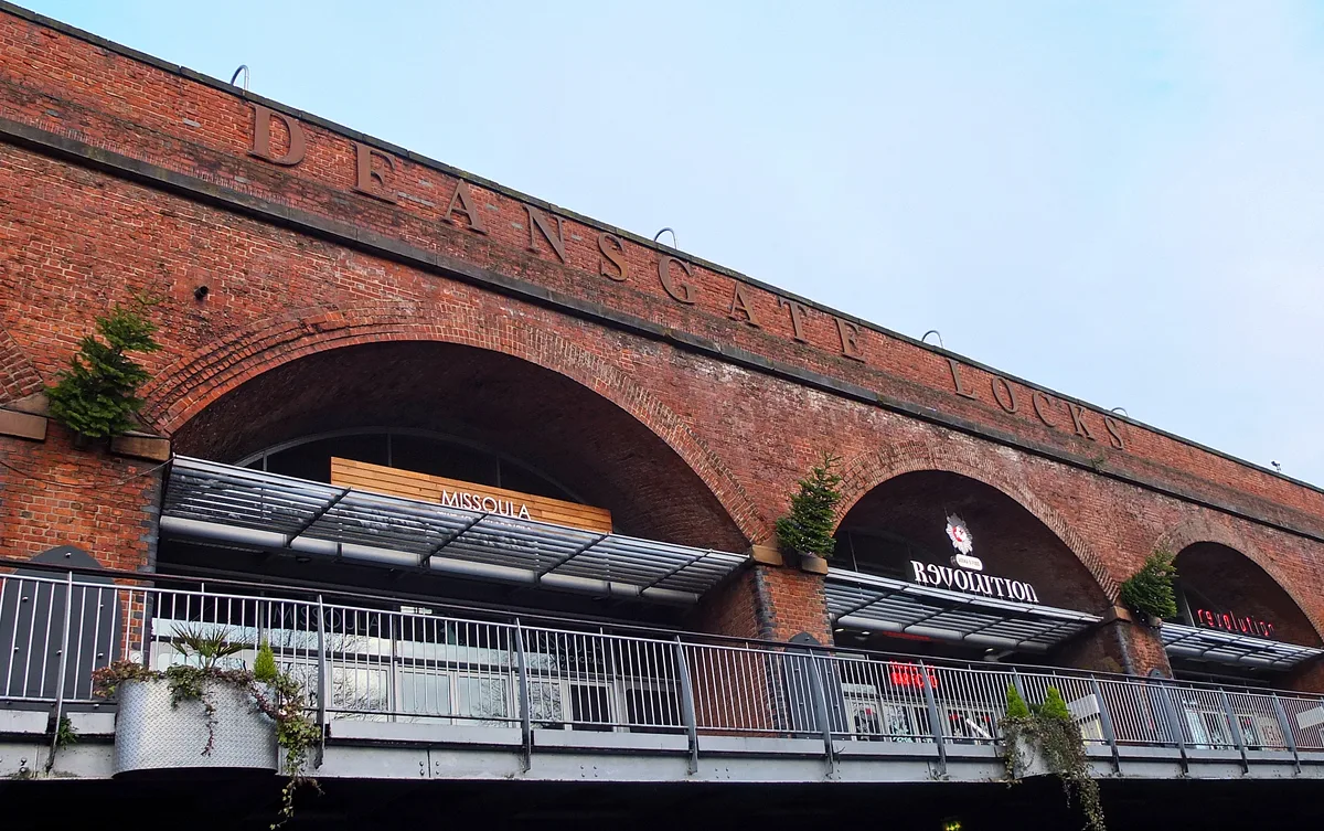
Latticework Viaducts, Castlefield
Latticework Viaducts, Castlefield — railway viaduct in Manchester, Greater Manchester, England, UK.
.jpg?width=1200) 📷 3
📷 3Gardens · North West England
RHS Garden Bridgewater
RHS Garden Bridgewater — Public garden in Greater Manchester, England.
 📷 3
📷 3Gardens · North West England
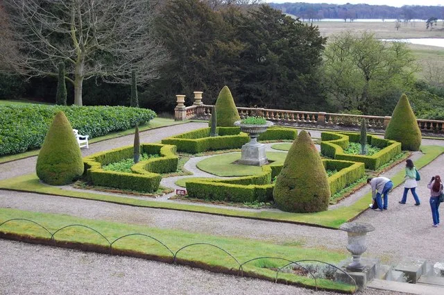
Tatton Park Gardens
Tatton Park Gardens — Gardens in Cheshire, England.
Frequently asked questions
- Where is Brook Farm?
- Brook Farm is in Lancashire, North-West England, United Kingdom (postcode FY5 4EB), in the parish of Wyre, unparished area.
- What is Brook Farm?
- Brook Farm — a garden in england-north-west, United Kingdom.
- How do I get to Brook Farm?
- The nearest railway station is Poulton-le-Fylde, about 3.2 km away. Drivers can use postcode FY5 4EB.
- When was Brook Farm built?
- Built or established in 1892.
- Who owns Brook Farm?
- Brook Farm is owned by | current_tenants =.
- Is Brook Farm a protected site?
- Yes — Brook Farm is part of the Wyre Estuary SSSI Site of Special Scientific Interest and the Morecambe Bay Ramsar wetland.
- How do I get to Brook Farm?
- The nearest railway station is Poulton-le-Fylde, about 3.2 km away. Drivers can navigate to postcode FY5 4EB.