
Archaeological sites · East Midlands
Bronze Age settlement and ceremonial remains on Gibbet Moor, 980m north east of Swiss Cottage
In or near Grindleford.
Bronze Age settlement and ceremonial remains on Gibbet Moor, 980m north east of Swiss Cottage — archaeological site in Baslow and Bubnell, Derbyshire Dales, England, UK.

Wikimedia Commons contributors — see linked file page for photographer and licence licence

Plan your visit
- Typical visit
- 45 min–1.5 h
- Nearest railway station
- Rowsley South · 6.9 km
- Free entry
- Dog-friendly
About
Bronze Age settlement and ceremonial remains on Gibbet Moor, 980m north east of Swiss Cottage is a place of interest in Derbyshire, the East Midlands. Officially recognised as scheduled monument. The site is a designated Site of Special Scientific Interest. It sits within the Derbyshire Dales parliamentary constituency. The nearest railway station is Rowsley South, about 6.9 km away. Postcode area DE45.
Photo gallery
Protected designations
- Site of Special Scientific Interest: Eastern Peak District Moors SSSI
Designations sourced from Natural England open data under OGL v3.
Place summary
The Bronze Age settlement and ceremonial remains on Gibbet Moor are located 980 metres north-east of Swiss Cottage in Derbyshire's East Midlands. This site is designated as a scheduled monument and is part of the Eastern Peak District Moors SSSI.
AI-generated from the structured facts on this page (operator, designation, listing, era). Not a substitute for visiting.
- Coordinates
- 53.2347, -1.5820
- County
- Derbyshire
- District
- Derbyshire Dales
- Parish
- Baslow and Bubnell
- Postcode
- DE45 1PU
- Parliamentary constituency
- Derbyshire Dales
- Nearest railway station
- Rowsley South — 6.9 km
Sources
- wikidata: Q17664577 (CC0)
- commons: Cairns on Gibbet Moor - geograph.org.uk - 553994.jpg (CC BY-SA 4.0)
Other places nearby

Brampton Stone Low
Castles · 1.2 km

Guide Stoop
Memorials & monuments · 1.5 km

The Hunting Tower
Memorials & monuments · 1.5 km
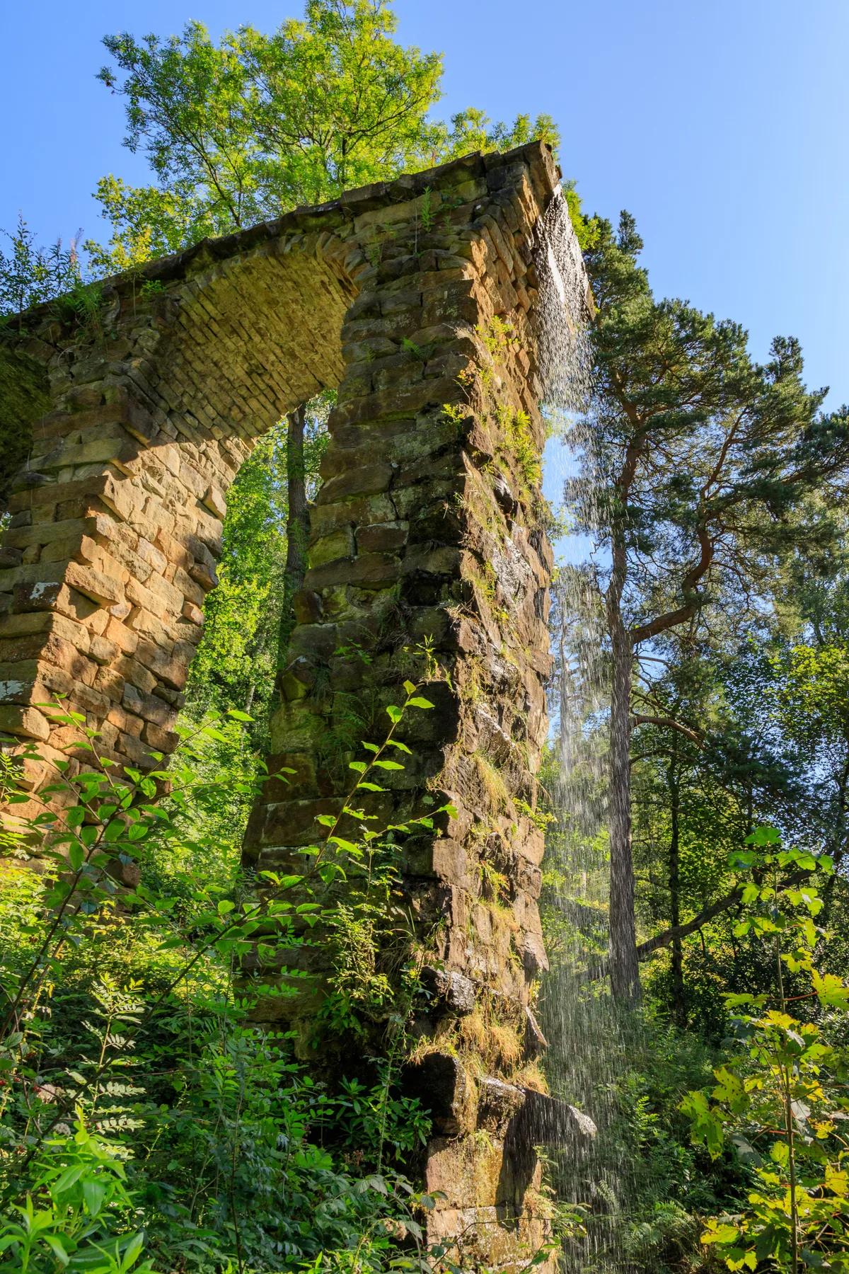
Aqueduct
Aqueducts · 1.7 km

Eric Byne Campsite
Campsites · 1.8 km

Hob Hurst's House
Archaeological sites · 1.8 km

Hob Hurst's House
Archaeological sites · 1.8 km

Eric Byne Campsite
Campsites · 1.9 km

The Cascade
Natural landmarks · 1.9 km

Birchen Edge
Climbing & bouldering crags · 1.9 km

Royal Soverin
Climbing & bouldering crags · 2.0 km

Egyptian Statue Behind The Dukes Greenhouse 9 Metres From The Corner
Historic houses · 2.0 km
Nearby
📷 5📷 3Memorials & monuments · East Midlands
Guide Stoop
Guide Stoop — a memorial in East Midlands, United Kingdom.
📷 3Memorials & monuments · East Midlands
The Hunting Tower
The Hunting Tower — Grade II* listed building-listed memorial in england-east-midlands, United Kingdom.
📷 3Aqueducts · East Midlands
Aqueduct
Aqueduct — aqueduct in Chatsworth, Derbyshire Dales, Derbyshire, England, UK.
📷 5Campsites · East Midlands
Eric Byne Campsite
Eric Byne Campsite — a campsite in england east midlands.
📷 3Archaeological sites · East Midlands
Hob Hurst's House
Hob Hurst's House — an archaeological site in East Midlands, United Kingdom.
Where to eat & stay near Bronze Age settlement and ceremonial remains on Gibbet Moor, 980m north east of Swiss Cottage
Places to stay
📷 5Campsites · East Midlands
Eric Byne Campsite
Eric Byne Campsite — a campsite in england east midlands.
📷 5Campsites · East Midlands
Eric Byne Campsite
Eric Byne Campsite — a campsite in england east midlands.
 📷 5
📷 5Caravan parks · East Midlands
Chatsworth Park Caravan & Motorhome Club Site
Chatsworth Park Caravan & Motorhome Club Site — a caravan park in england east midlands.
 📷 5
📷 5 📷 5
📷 5Caravan parks · East Midlands
Broughton Caravan Park
Broughton Caravan Park — a caravan park in england east midlands.
 📷 7
📷 7Hotels · East Midlands
The Rutland Arms Hotel
The Rutland Arms Hotel — a hotel in england east midlands.
Places to eat & drink
 📷 7
📷 7Historic pubs · East Midlands
The Peacock Hotel
The Peacock Hotel in England East Midlands, United Kingdom.
 📷 5
📷 5Historic pubs · East Midlands
The Eyre Arms Public House
The Eyre Arms Public House in England East Midlands, United Kingdom.
 📷 5
📷 5Historic pubs · East Midlands
The Chequers Inn and attached outbuildings
The Chequers Inn and attached outbuildings in England East Midlands, United Kingdom.
 📷 5
📷 5Historic pubs · East Midlands
The Peacock
The Peacock in England East Midlands, United Kingdom.
 📷 5
📷 5 📷 7
📷 7More archaeological sites in this region
 📷 4
📷 4Archaeological sites · East Midlands
Roman site, Priors Meadow
Roman site, Priors Meadow — archaeological site in Deeping St James, South Kesteven, England, UK.
 📷 5
📷 5Archaeological sites · East Midlands
Site of St Peter's Church
Site of St Peter's Church — site of former church in Stamford, Lincolnshire, England, UK.
 📷 5
📷 5Archaeological sites · East Midlands
Stamford East railway station
Stamford East railway station — an archaeological site in East Midlands, United Kingdom.
 📷 5
📷 5Archaeological sites · East Midlands
Stamford East railway sheds (now residential)
Stamford East railway sheds (now residential) — an archaeological site in East Midlands, United Kingdom.
Frequently asked questions
- Where is Bronze Age settlement and ceremonial remains on Gibbet Moor, 980m north east of Swiss Cottage?
- Bronze Age settlement and ceremonial remains on Gibbet Moor, 980m north east of Swiss Cottage is in Derbyshire, the East Midlands, United Kingdom (postcode DE45 1PU), in the parish of Baslow and Bubnell.
- What is Bronze Age settlement and ceremonial remains on Gibbet Moor, 980m north east of Swiss Cottage?
- Bronze Age settlement and ceremonial remains on Gibbet Moor, 980m north east of Swiss Cottage — archaeological site in Baslow and Bubnell, Derbyshire Dales, England, UK.
- How do I get to Bronze Age settlement and ceremonial remains on Gibbet Moor, 980m north east of Swiss Cottage?
- The nearest railway station is Rowsley South, about 6.9 km away. The nearest town is Grindleford. Drivers can use postcode DE45 1PU.
- Is Bronze Age settlement and ceremonial remains on Gibbet Moor, 980m north east of Swiss Cottage a listed building?
- Bronze Age settlement and ceremonial remains on Gibbet Moor, 980m north east of Swiss Cottage is officially recognised as scheduled monument listed.
- Is Bronze Age settlement and ceremonial remains on Gibbet Moor, 980m north east of Swiss Cottage a protected site?
- Yes — Bronze Age settlement and ceremonial remains on Gibbet Moor, 980m north east of Swiss Cottage is part of the Eastern Peak District Moors SSSI Site of Special Scientific Interest.
- Is Bronze Age settlement and ceremonial remains on Gibbet Moor, 980m north east of Swiss Cottage free to visit?
- Yes, Bronze Age settlement and ceremonial remains on Gibbet Moor, 980m north east of Swiss Cottage is free to enter.
- How do I get to Bronze Age settlement and ceremonial remains on Gibbet Moor, 980m north east of Swiss Cottage?
- The nearest railway station is Rowsley South, about 6.9 km away. Drivers can navigate to postcode DE45 1PU.