
Hill forts · Scottish Islands
Broch of Culswick
Broch of Culswick — architectural structure in Shetland Islands, Scotland, UK.

Wikimedia Commons contributors — see linked file page for photographer and licence licence

Plan your visit
- Typical visit
- 1 h–2 h
- Free entry
- Dog-friendly
About
Broch of Culswick is a hill fort in the United Kingdom. Heritage designation: scheduled monument. Wikidata describes it as: "architectural structure in Shetland Islands, Scotland, UK". Coordinates: 60.1868°, -1.5439°.
Photo gallery
From the Wikipedia article
The Broch of Culswick (also Culswick Broch) is an unexcavated coastal broch in the Shetland Islands of Scotland (grid reference HU25384481). It has good views all around, including Foula and Vaila isles, and Fitful Head and Fair Isle in the south. The broch stands on the top of a rock platform and is about 3 metres high at its tallest point. Much rubble has fallen into the centre. This broch has a massive triangular lintel stone over the entrance, which is partly filled with rubble. Drawings by Low in 1774 and Skene in 1805 reveal that the structure survived very well up to those dates.
Excerpt from Wikipedia under CC BY-SA 4.0. See the source article linked in Sources below.
Background
Description
The Broch of Culswick has an external diameter of around 16 metres with walls preserved up to a height of 3.5 metres. The main entrance is clearly visible but debris nearly fills the passage. The lintel is a massive triangular stone. A "guard cell" was visible to the right of the main entrance. The interior of the broch is full of debris. The inside face of an upper gallery can be seen above the entrance, and another void or doorway is visible in the inner wall face. Culswick Broch was better preserved in 1774 when George Low's drawing shows three complete intramural galleries preserved on top of the buried lower storey as well as a scarcement ledge on the inside face.
Sourced from Wikipedia under CC BY-SA 4.0.
- Coordinates
- 60.1868, -1.5439
- Address
- Mainland, Shetland
Sources
- wikidata: Q2255388 (CC0)
- wikipedia: Broch of Culswick (CC BY-SA 4.0)
- commons: Broch of culswick 1.jpg (CC BY-SA 4.0)
Other places nearby

Burri Stacks, Culswick
Vineyards · 1.0 km

Stead of Culswick
Natural landmarks · 1.6 km
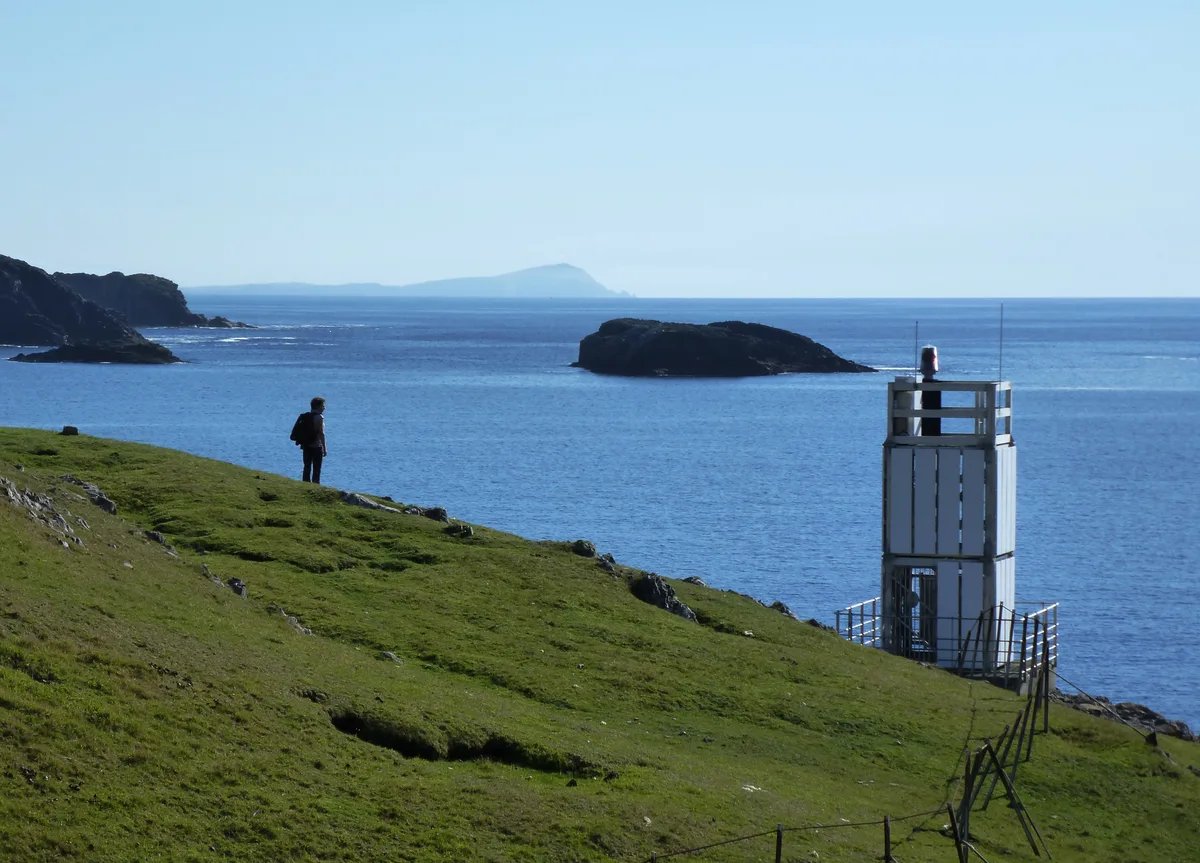
Ram's Head Lighthouse
Lighthouses · 1.6 km

Ward of Culswick
Mountains & hills · 1.7 km
Ward of Culswick
Mountains & hills · 1.7 km

East Ward
Mountains & hills · 2.3 km

Drongi Field
Mountains & hills · 2.5 km
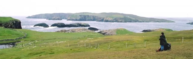
Vaila
Islands · 2.6 km

Mid Ward
Mountains & hills · 2.7 km
Groni Stack
Mountains & hills · 3.0 km

Gruting Voe
Mountains & hills · 3.2 km

Linga
Islands · 3.5 km
Nearby
📷 5Vineyards · Scottish Islands
Burri Stacks, Culswick
Burri Stacks, Culswick — a UK vineyard in scotland islands, producing English or Welsh wine from cool-climate grape varieties.
📷 5Natural landmarks · Scottish Islands
Stead of Culswick
Stead of Culswick — a natural feature in scotland islands.
📷 3Lighthouses · Scottish Islands
Ram's Head Lighthouse
Ram's Head Lighthouse is a lighthouse in the United Kingdom.
📷 5Mountains & hills · Scottish Islands
Ward of Culswick
Ward of Culswick — mountain in scotland islands. Elevation: 118 m.
📷 5Mountains & hills · Scottish Islands
Ward of Culswick
Ward of Culswick — a hill or mountain in scotland islands.
📷 5Mountains & hills · Scottish Islands
East Ward
East Ward — mountain in scotland islands. Elevation: 91 m.
Where to eat & stay near Broch of Culswick
Places to stay
 📷 5
📷 5Campsites · Scottish Islands
Skeld Caravan Park and Campsite
Skeld Caravan Park and Campsite — a campsite in scotland islands.
 📷 5
📷 5Caravan parks · Scottish Islands
Scalloway Caravan Park
Scalloway Caravan Park — a caravan park in scotland islands.
 📷 5
📷 5Hostels · Scottish Islands
Islesburgh House Hostel
Islesburgh House Hostel — a hostel in scotland islands.
 📷 5
📷 5Campsites · Scottish Islands
South Nesting
South Nesting — a campsite in scotland islands.
 📷 5
📷 5 📷 5
📷 5Caravan parks · Scottish Islands
Cunningsburgh Touring Park
Cunningsburgh Touring Park — a caravan park in scotland islands.
Places to eat & drink
 📷 7
📷 7Historic pubs · Scottish Islands
86 Commercial Street, Lerwick
86 Commercial Street, Lerwick in England South East, United Kingdom.
 📷 5
📷 5Historic pubs · Scottish Islands
Busta House Hotel, Brae
Busta House Hotel, Brae in England South East, United Kingdom.
More places in this region
 📷 3
📷 3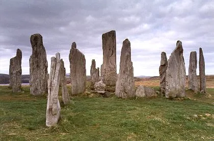 📷 5
📷 5Hill forts · Scottish Islands
Calanais Stones
Calanais Stones — neolithic standing stones near Calanais, Scotland.
 📷 5
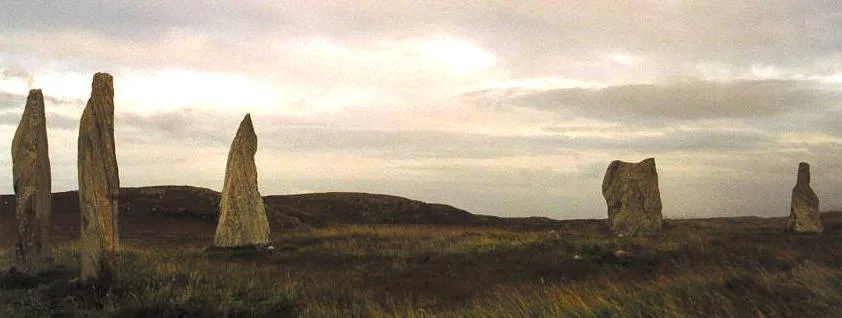
📷 5Hill forts · Scottish Islands
Callanish II
Callanish II — archaeological site in Outer Hebrides, Scotland, UK.
 📷 3
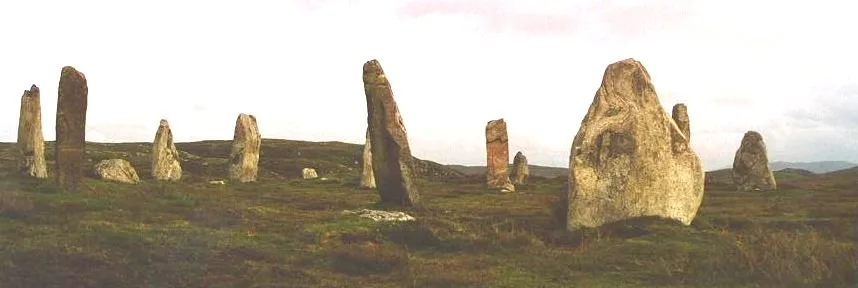
📷 3Hill forts · Scottish Islands
Callanish III
Callanish III — archaeological site in Outer Hebrides, Scotland, UK.
Frequently asked questions
- Where is Broch of Culswick?
- Broch of Culswick is in the Scottish Islands, United Kingdom.
- What is Broch of Culswick?
- Broch of Culswick — architectural structure in Shetland Islands, Scotland, UK.
- How do I get to Broch of Culswick?
- Its coordinates are 60.1868°, -1.5439°.
- Is Broch of Culswick a listed building?
- Broch of Culswick is officially recognised as scheduled monument listed.
- Is Broch of Culswick free to visit?
- Yes, Broch of Culswick is free to enter.