
Beaches · Central Scotland
Broad Sands
In or near North Berwick.
Broad Sands is a beach in the United Kingdom.

Wikimedia Commons contributors — see linked file page for photographer and licence licence

Plan your visit
- Typical visit
- 1 h–3 h
- Best time of year
- Summer (Jun–Aug)
- Nearest railway station
- North Berwick · 2.4 km
- Free entry
- Family-friendly
- Dog-friendly
- Wheelchair accessible
Getting there & planning your visit
To visit Broad Sands, the nearest railway station is North Berwick, located 2.4 km away. Entry to the beach is free, and it is wheelchair accessible. The postcode for sat-nav is EH39 5DD.
About
Broad Sands is a named beach on the United Kingdom coastline. Coordinates: 56.0628°, -2.7686°. This entry is part of The Great Britain Guide, a free, ad-free, open-data tourist directory.
Photo gallery
From the Wikipedia article
Yellowcraig, also known as Broad Sands Beach, is a coastal area of forest, beach and grassland in East Lothian, south-east Scotland. Yellowcraig is partly within the Firth of Forth Site of Special Scientific Interest (SSSI). It is bordered to the north by the Firth of Forth, to the south by the village of Dirleton and Dirleton Castle, to the east by the North Berwick West Links golf course, and to the west by the Archerfield Estate and Links golf courses. Access to Yellowcraig is by the A198 coastal route through Dirleton. A visitor car park lies 270 metres (300 yd) south of the beach. The area includes information displays, a barbecue area and a Treasure Island themed adventure play park. WCs and showers are located at the car park. There is also a wheelchair accessible path and ramp giving a view over the beach. Yellowcraig is on the John Muir Way, a 73-kilometre (45 mi) long distance footpath between Fisherrow, Musselburgh and Dunglass, named in honour of the conservationist John Muir, who was born in Dunbar. Yellowcraig is featured in the leaflet Aberlady to North Berwick among a series of leaflets on the John Muir Way. The John Muir Way is part of the North Sea Trail, a network of paths in 7 countries and 26 areas around the North Sea. The island of Fidra, reputedly the inspiration for Robert Louis Stevenson's Treasure Island, lies just to the north-west and is an RSPB nature reserve. The East Lothian Countryside Ranger Service co-ordinates the day-to-day management of this site.
Excerpt from Wikipedia under CC BY-SA 4.0. See the source article linked in Sources below.
- Coordinates
- 56.0628, -2.7686
- District
- East Lothian
- Postcode
- EH39 5DD
- Parliamentary constituency
- Lothian East
- Nearest railway station
- North Berwick — 2.4 km
Sources
- osm: w27144568 (ODbL)
- wikipedia: Yellowcraig (CC BY-SA 4.0)
- commons: Yellowcraigs1.jpg (CC BY-SA 4.0)
Other places nearby

USS Stockton
Other places · 0.3 km

Yellowcraig Caravan & Motorhome Club Site
Caravan parks · 0.9 km

North Berwick West Links
Golf courses · 0.9 km
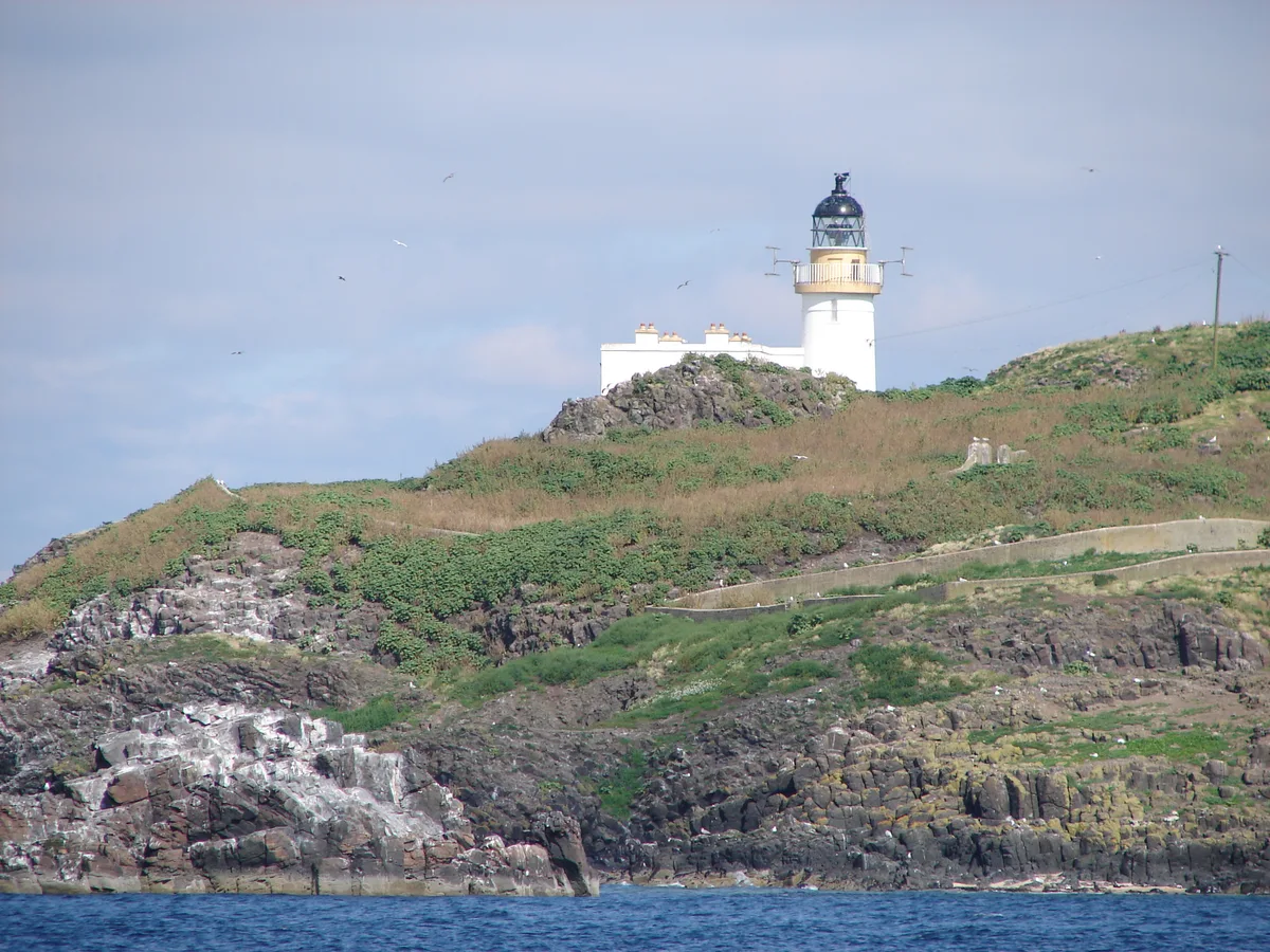
Fidra
Islands · 1.0 km
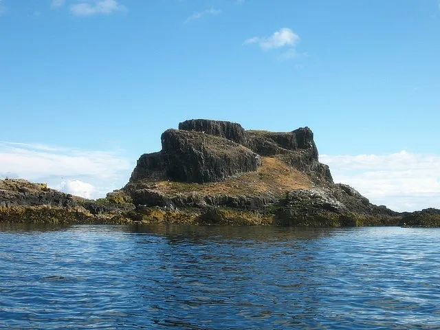
Castle Tarbet
Castles · 1.2 km

St Nicholas's Chapel
Historic houses · 1.5 km

Lamb
Islands · 1.5 km
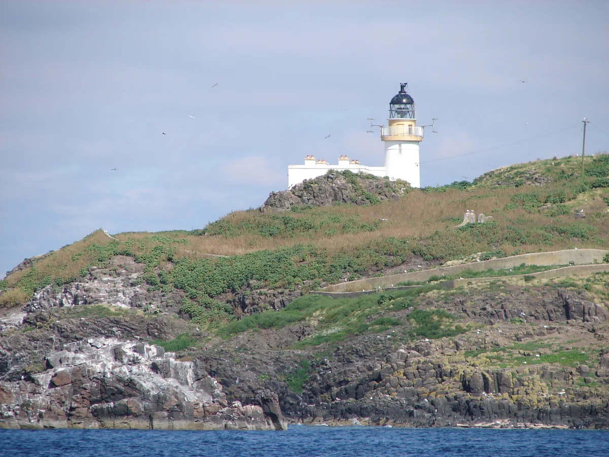
Fidra Lighthouse
Lighthouses · 1.6 km
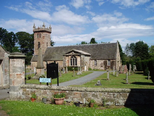
Dirleton Kirk
Historic churches · 1.9 km

Dirleton Parish Church Hall, Manse Road, Dirleton
Historic churches · 1.9 km

War Memorial, Manse Road, Dirleton
Memorials & monuments · 1.9 km

Dirleton
Wildlife reserves · 1.9 km
Nearby
📷 4📷 5Caravan parks · Central Scotland
Yellowcraig Caravan & Motorhome Club Site
Yellowcraig Caravan & Motorhome Club Site — a caravan park in scotland central.
📷 3Golf courses · Central Scotland
North Berwick West Links
North Berwick West Links — golf course in North Berwick, Scotland.
Flagship📷 3Islands · Central Scotland
Fidra
Fidra — uninhabited island in the Firth of Forth, on the east coast of Scotland.
📷 3📷 3Historic houses · Central Scotland
St Nicholas's Chapel
St Nicholas's Chapel — a historic house in scotland-central, United Kingdom.
Where to eat & stay near Broad Sands
Places to stay
📷 5Caravan parks · Central Scotland
Yellowcraig Caravan & Motorhome Club Site
Yellowcraig Caravan & Motorhome Club Site — a caravan park in scotland central.
 📷 5
📷 5Caravan parks · Central Scotland
Gilsland Caravan Park
Gilsland Caravan Park — a caravan park in scotland central.
 📷 5
📷 5Campsites · Central Scotland
Tantallon Caravan & Camping Park
Tantallon Caravan & Camping Park — a campsite in scotland central.
 📷 5
📷 5Caravan parks · Central Scotland
Station Park Caravan Site
Station Park Caravan Site — a caravan park in scotland central.
 📷 5
📷 5Caravan parks · Central Scotland
East Fortune Farm CL
East Fortune Farm CL — a caravan park in scotland central.
 📷 5
📷 5Campsites · Central Scotland
Aberlady Caravan Park
Aberlady Caravan Park — a campsite in scotland central.
Places to eat & drink
 📷 5
📷 5Historic pubs · Central Scotland
The Crown & Kitchen
The Crown & Kitchen in Scotland Central, United Kingdom.
 📷 5
📷 5Historic pubs · Central Scotland
Gardner's Arms Public House, Market Street, Haddington
Gardner's Arms Public House, Market Street, Haddington in Scotland Central, United Kingdom.
 📷 5
📷 5Historic pubs · Central Scotland
Gothenburg Tavern, High Street, Prestonpans
Gothenburg Tavern, High Street, Prestonpans in Scotland Central, United Kingdom.
 📷 7
📷 7Historic pubs · Central Scotland
Railway Tavern, 14, 16 High Street West, Anstruther Wester
Railway Tavern, 14, 16 High Street West, Anstruther Wester in Scotland Central, United Kingdom.
 📷 7
📷 7Historic pubs · Central Scotland
Balcarres Arms Hotel, 59 Main Street, Colinsburgh
Balcarres Arms Hotel, 59 Main Street, Colinsburgh in Scotland Central, United Kingdom.
 📷 7
📷 7Historic pubs · Central Scotland
12 Shore Street, Anstruther Easter
12 Shore Street, Anstruther Easter in Scotland Central, United Kingdom.
More beaches in this region
 📷 3
📷 3 📷 4
📷 4 📷 3
📷 3 📷 5
📷 5Frequently asked questions
- Where is Broad Sands?
- Broad Sands is in central Scotland, United Kingdom (postcode EH39 5DD).
- What is Broad Sands?
- Broad Sands is a beach in the United Kingdom.
- How do I get to Broad Sands?
- The nearest railway station is North Berwick, about 2.4 km away. Drivers can use postcode EH39 5DD.
- Is Broad Sands free to visit?
- Yes, Broad Sands is free to enter.
- How do I get to Broad Sands?
- The nearest railway station is North Berwick, about 2.4 km away. Drivers can navigate to postcode EH39 5DD.